2020s Maps of Mandaree, North Dakota
Explore 36 historic maps of Mandaree from the 2020s. These maps offer a rare glimpse into what life looked like during the 2020s — showing old roads, neighborhoods, homes, and landmarks that have changed or disappeared over time.
Whether you're researching your family's past, planning a metal detecting trip, or studying how Mandaree's landscape evolved across the 2020s, these high-resolution maps are a powerful tool for exploring the history of this region.
- Focus on a specific era: All maps on this page are from the 2020s, giving you a focused view of this time period.
- See what’s changed: Compare century-old streets, trails, and buildings to today's modern landscape using overlays and satellite layers.
- Research with precision: Use these maps for genealogy, historical research, land use analysis, or educational projects.
- View, download, or print: Maps are fully viewable online in high resolution, and can be downloaded or printed for your own records.
Start exploring Mandaree's history through authentic maps from the 2020s. This is your window into the past.
Mandaree, ND maps
(36)- 2020 Map of Mandaree SE, 2020 Print
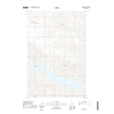 2020 Mandaree SE2020 Print · USGSCovers Mandaree, including Dunn County, United States, and other nearby areas
 - 2020 Map of Mandaree SW, 2020 Print
 2020 Mandaree SW2020 Print · USGSCovers Mandaree, including Dunn County, United States, and other nearby areas
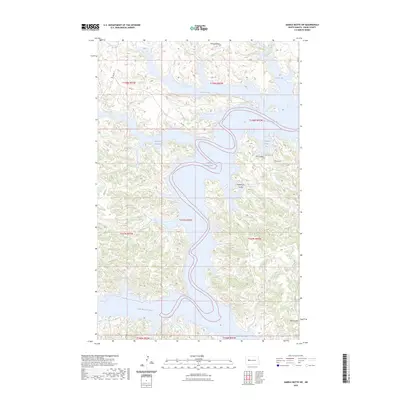
 - 2020 Map of Sanish SW, 2020 Print
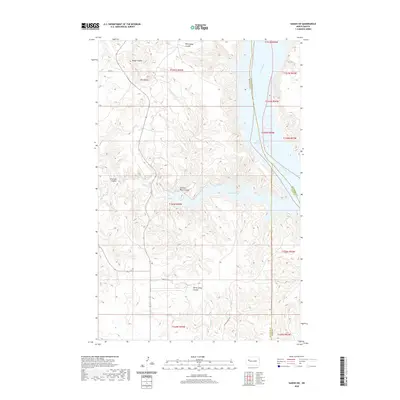 2020 Sanish SW2020 Print · USGSCovers Mandaree, including New Town, Four Bears Segment, and other nearby areas
 - 2020 Map of New Town SW, 2020 Print
 2020 New Town SW2020 Print · USGSCovers Mandaree, including New Town, Parshall, and other nearby areas
 - 2020 Map of Blue Buttes SE, 2020 Print
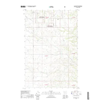 2020 Blue Buttes SE2020 Print · USGSCovers Mandaree, including Four Bears Segment, McKenzie County, and other nearby areas
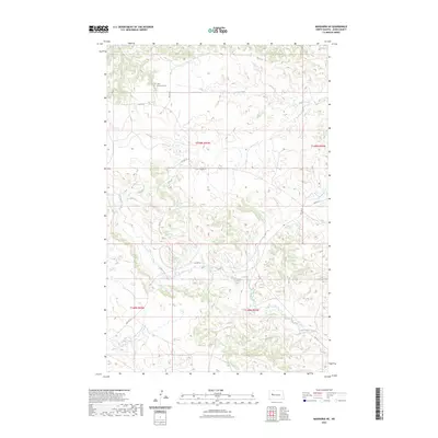
 - 2020 Map of Mandaree NE, 2020 Print
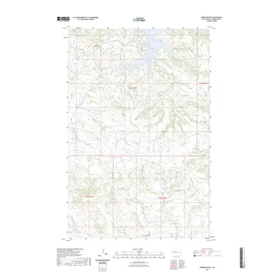
 2020 Mandaree NE2020 Print · USGSCovers Mandaree, including Dunn County, United States, and other nearby areas
 - 2020 Map of String Buttes, 2020 Print
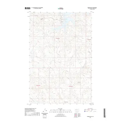 2020 String Buttes2020 Print · USGSCovers Mandaree, including Dunn County, United States, and other nearby areas
 - 2020 Map of Hay Flat, 2020 Print
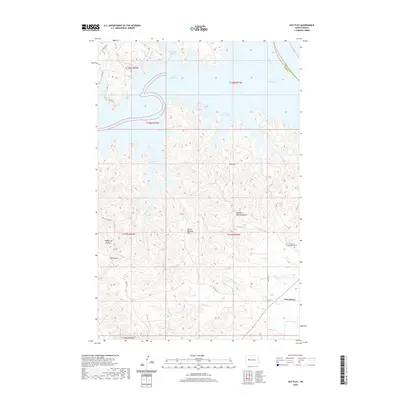 2020 Hay Flat2020 Print · USGSCovers Mandaree, including Twin Buttes, White Shield, and other nearby areas
 - 2020 Map of New Town SE, 2020 Print
 2020 New Town SE2020 Print · USGSCovers Mandaree, including New Town, Parshall, and other nearby areas
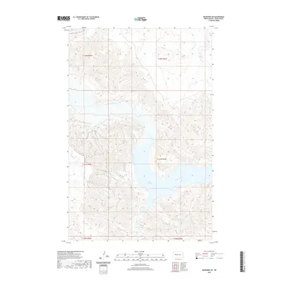
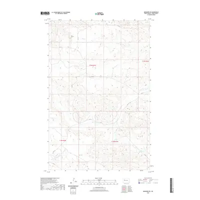
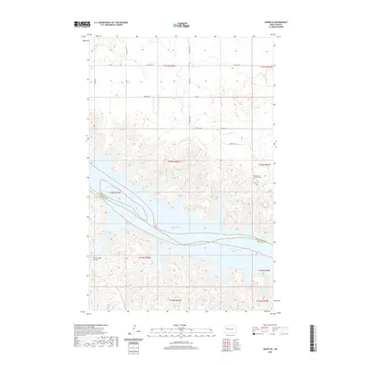
 - 2020 Map of Mandaree, 2020 Print
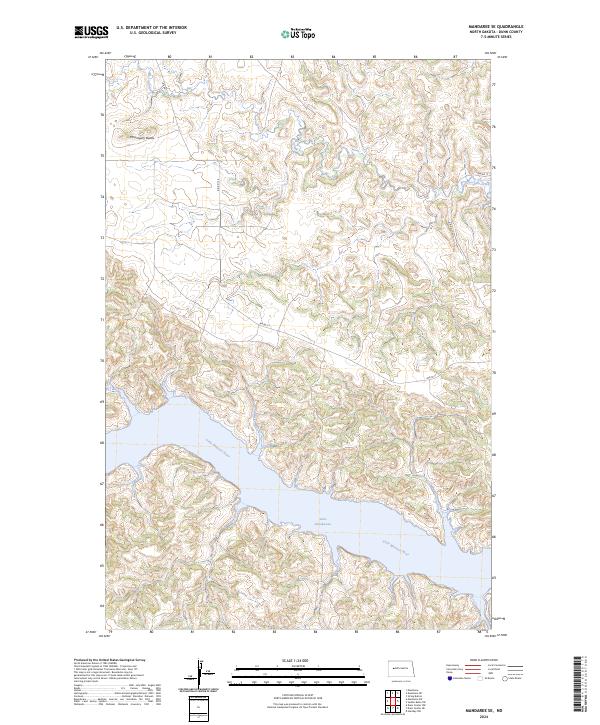
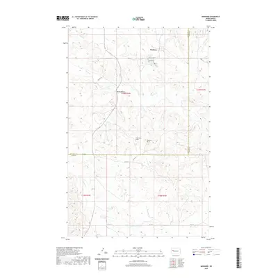 2020 Mandaree2020 Print · USGSCovers Mandaree, including Spotted Horn, McKenzie County, and other nearby areas
 - 2020 Map of Twin Buttes, 2020 Print
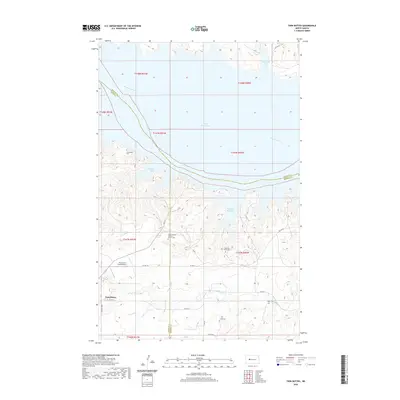 2020 Twin Buttes2020 Print · USGSCovers Mandaree, including Twin Buttes, Twin Buttes, and other nearby areas
 - 2020 Map of Saddle Butte SW, 2020 Print
 2020 Saddle Butte SW2020 Print · USGSCovers Mandaree, including Charging Eagle Bay, Twin Buttes, and other nearby areas
 - 2020 Map of Figure 4 Ranch, 2020 Print
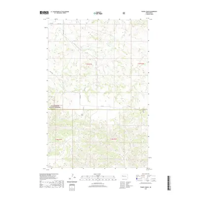 2020 Figure 4 Ranch2020 Print · USGSCovers Mandaree, including McKenzie County, Dunn County, and other nearby areas
 - 2020 Map of Sanish SE, 2020 Print
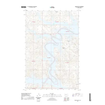
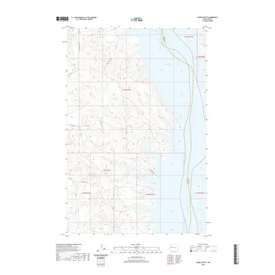
 2020 Sanish SE2020 Print · USGSCovers Mandaree, including New Town, Mountrail County, and other nearby areas
 - 2020 Map of Saddle Butte, 2020 Print
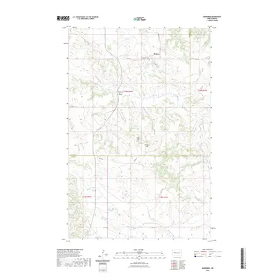
 2020 Saddle Butte2020 Print · USGSCovers Mandaree, including Parshall, White Shield, and other nearby areas
 - 2020 Map of Lost Bridge, 2020 Print
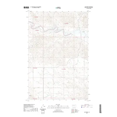 2020 Lost Bridge2020 Print · USGSCovers Mandaree, including Dunn County, United States, and other nearby areas
 - 2023 Map of Mandaree NE, 2023 Print
 2023 Mandaree NE2023 Print · USGSCovers Mandaree, including Dunn County, United States, and other nearby areas
 - 2023 Map of Saddle Butte SW, 2023 Print
 2023 Saddle Butte SW2023 Print · USGSCovers Mandaree, including Charging Eagle Bay, Twin Buttes, and other nearby areas
 - 2023 Map of String Buttes, 2023 Print
 2023 String Buttes2023 Print · USGSCovers Mandaree, including Dunn County, United States, and other nearby areas
 - 2023 Map of Mandaree, 2023 Print
 2023 Mandaree2023 Print · USGSCovers Mandaree, including Spotted Horn, McKenzie County, and other nearby areas
 - 2024 Map of Blue Buttes SE, 2024 Print
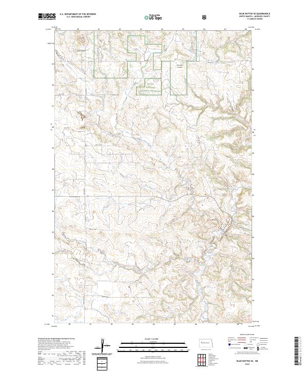 2024 Blue Buttes SE2024 Print · USGSMcKenzie County's high plains are documented here in the 2020s, showing the intersection of ranching infrastructure and protected lands. Trace the deep drainages of Handy Water Creek and Bear Den Creek as they wind through the Little Missouri National Grassland.
 - 2024 Map of Lost Bridge, 2024 Print
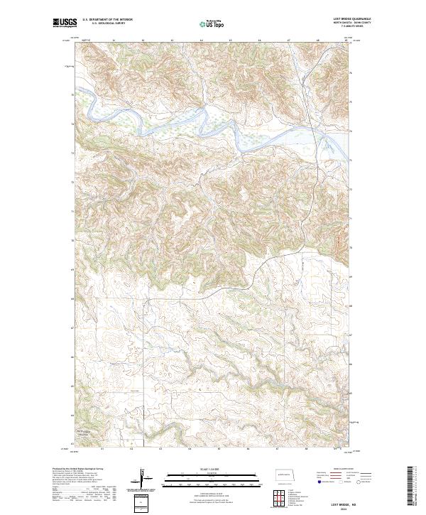 2024 Lost Bridge2024 Print · USGSThe badlands of western North Dakota unfold in this contemporary topographic look at the Dunn County landscape. Geographers and historians can trace the rugged course of the Little Missouri River and the prominent heights of North Killdeer Mountain.
 - 2024 Map of Mandaree SE, 2024 Print
 2024 Mandaree SE2024 Print · USGSDunn County is documented in the modern era as the waters of Lake Sakakawea fill the old valley of the Little Missouri River. Researchers can trace the local road network and identify landmarks like McGregory Butte and the winding Moccasin Creek.
 - 2024 Map of Sanish SW, 2024 Print
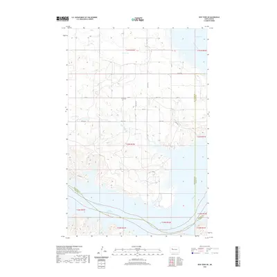
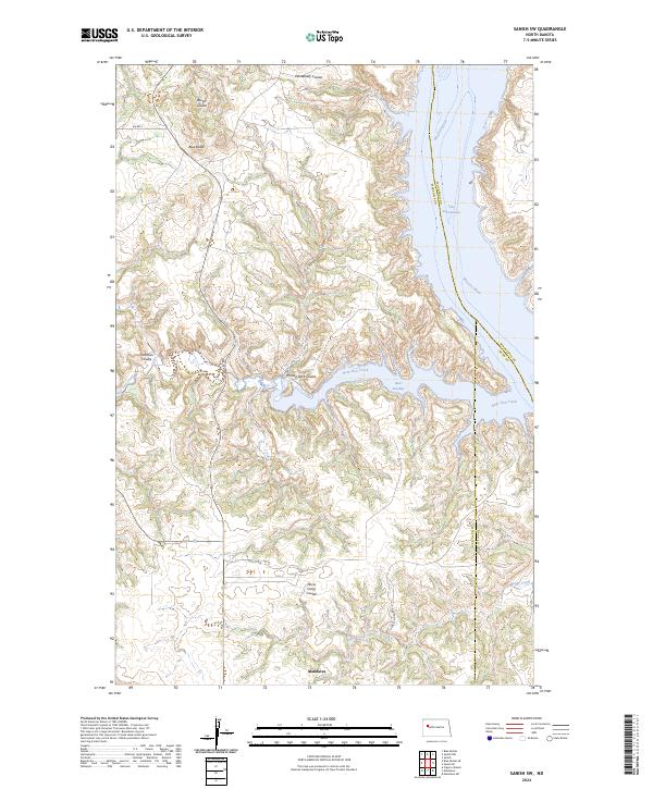 2024 Sanish SW2024 Print · USGSMcKenzie County and the Fort Berthold Reservation appear here in the early twenty-first century, centered on the community of Mandaree. Researchers can trace the rugged topography of Turnkey Ridge or locate local landmarks like the Figure 4 Ranch and Blue Butte near the shores of Lake Sakakawea.
 - 2024 Map of Twin Buttes, 2024 Print
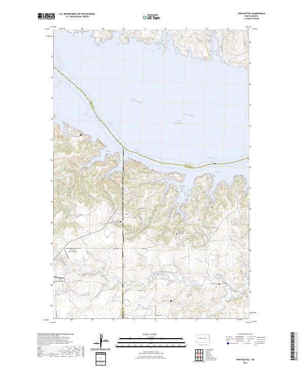 2024 Twin Buttes2024 Print · USGSThe south shore of Lake Sakakawea is documented here in the early twenty-first century, showing the contemporary settlement of Twin Buttes. Researchers can locate family landmarks like Medicine Stone Cem and Saint Joseph's Catholic Church Cem.
Showing maps 1-25 of 36
Top cities near Mandaree
Top neighborhoods of Mandaree
Frequently asked questions
- What are the different types of historical maps available for Mandaree?
- What is the oldest map of Mandaree?
- Where can I purchase historical maps of Mandaree for my home or office?
- Where can I download high-res historical maps of Mandaree?
- Are there historical topographic maps available for Mandaree?
- Is there historical aerial imagery available for Mandaree?
- Where are historical maps of Mandaree sourced from?