Old Maps of Karlsruhe, North Dakota for Academic Research
Study the evolution of Karlsruhe with 15 high-resolution historic maps. Whether you're teaching, researching, or modeling changes in land use, these maps provide essential visual documentation of urban, environmental, and geographic change.
- Analyze long-term change: Track patterns in development, transportation, and natural features.
- Ideal for environmental or urban studies: Support academic projects with primary historical map data.
- Use in the classroom or lab: Educators and researchers rely on these maps to bring historical context to life.
These maps are a powerful tool for teaching, research, and visualizing how Karlsruhe has changed over the decades.
Karlsruhe, ND maps
(15)- 1954 Map of Minot, 1964 Print
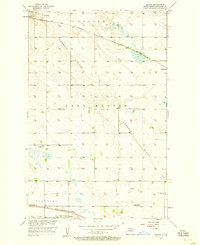
 1954 Minot1964 Print · USGSNorth Dakota's northern borderlands are captured here in the mid-fifties, showing a landscape defined by the winding Souris River and the rise of the Turtle Mountains. Genealogists can locate family-named sidings like Hurd Siding and Truro Siding alongside the vital Great Northern rail lines.3 unique versions available
 - 1957 Map of Bergen, 1958 Print
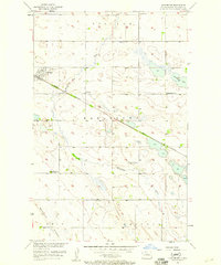
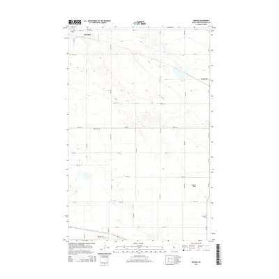
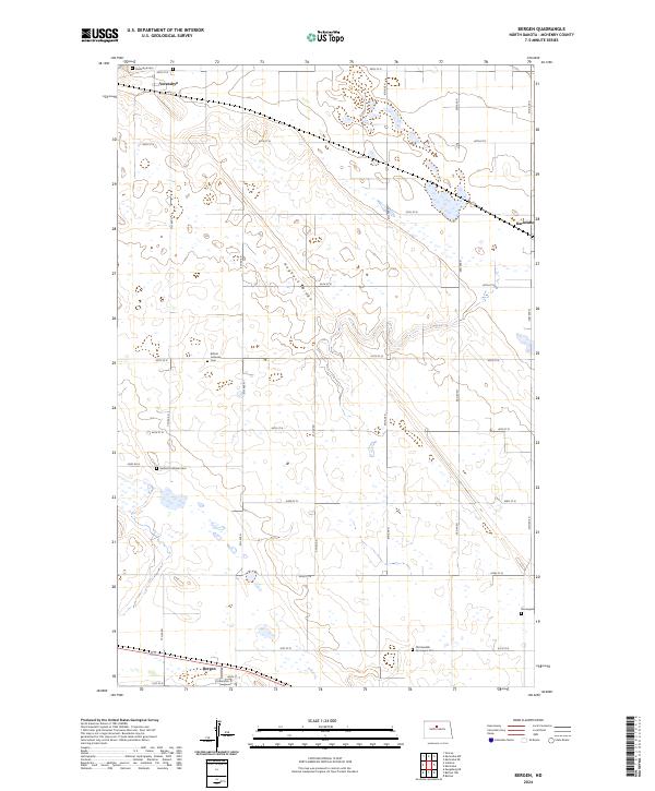
 1957 Bergen1958 Print · USGSMcHenry County prairie life is centered on the rail lines and townships of the late fifties. You can trace family roots at Verendrye Cem, locate the David Thompson Memorial, or find the abandoned school house in Odin.
 - 1957 Map of Karlsruhe, 1958 Print
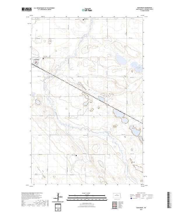
 1957 Karlsruhe1958 Print · USGSMid-century McHenry County shows a landscape of prairie schools and rail-side industry just before the consolidation of rural districts. Researchers can find old sites like Hubbel Sch No 1 and SS Peter and Paul Cem along the Wintering River.2 unique versions available
 - 1958 Map of Minot
 1958 Minot1958 Print · USGSNorthern North Dakota is shown here during the mid-fifties, dominated by the rail-driven growth of Minot and the surrounding grain-farming prairie. Genealogists can trace family connections to border towns like Westhope or explore the vast reaches of the Turtle Mountains.
 - 1980 Map of Velva
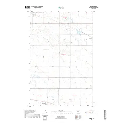
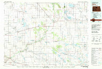 1980 Velva1980 Print · USGSNorth-central North Dakota comes into focus during the late twentieth century as a landscape of vital wetlands and rail-dependent grain towns. You can trace the Burlington Northern line through Towner or explore the protected prairie potholes of the J Clark Salyer National Wildlife Refuge.
 - 2011 Map of Bergen, 2011 Print
 2011 Bergen2011 Print · USGSCovers Karlsruhe, including Bergen, Verendrye, and other nearby areas
 - 2011 Map of Karlsruhe, 2011 Print
 2011 Karlsruhe2011 Print · USGSCovers Karlsruhe, including McHenry County, United States, and other nearby areas
 - 2014 Map of Karlsruhe, 2014 Print
 2014 Karlsruhe2014 Print · USGSCovers Karlsruhe, including McHenry County, United States, and other nearby areas
 - 2014 Map of Bergen, 2014 Print
 2014 Bergen2014 Print · USGSCovers Karlsruhe, including Bergen, Verendrye, and other nearby areas
 - 2017 Map of Karlsruhe, 2017 Print
 2017 Karlsruhe2017 Print · USGSCovers Karlsruhe, including McHenry County, United States, and other nearby areas
 - 2017 Map of Bergen, 2017 Print
 2017 Bergen2017 Print · USGSCovers Karlsruhe, including Bergen, Verendrye, and other nearby areas
 - 2020 Map of Bergen, 2020 Print
 2020 Bergen2020 Print · USGSCovers Karlsruhe, including Bergen, Verendrye, and other nearby areas
 - 2020 Map of Karlsruhe, 2020 Print
 2020 Karlsruhe2020 Print · USGSCovers Karlsruhe, including McHenry County, United States, and other nearby areas
 - 2024 Map of Bergen, 2024 Print
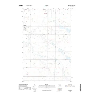
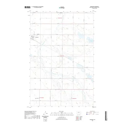
 2024 Bergen2024 Print · USGSThe McHenry County prairie comes alive in this survey of agricultural life and heritage during the 2020s. Genealogists can trace family footprints across several ethnic burial sites, including German Lutheran Cem and the Old Swedish Norwegian Cem.
 - 2024 Map of Karlsruhe, 2024 Print
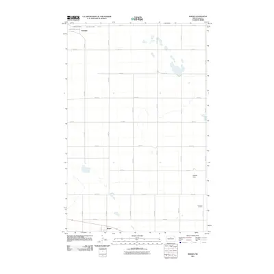
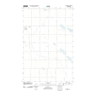
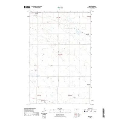
 2024 Karlsruhe2024 Print · USGSIn McHenry County during the early 2020s, the prairie landscape around Karlsruhe remains defined by the winding Wintering River and vast wetland habitats. Genealogists can locate rural burial sites such as Saints Peter and Paul Cem and Stenso Cem.
End of results
Showing maps 1-15 of 15
Top cities near Karlsruhe
- Granville historical maps
- Riga historical maps
- Denbigh historical maps
- Voltaire historical maps
- Balfour historical maps
- Kief historical maps
See more
Frequently asked questions
- What are the different types of historical maps available for Karlsruhe?
- What is the oldest map of Karlsruhe?
- Where can I purchase historical maps of Karlsruhe for my home or office?
- Where can I download high-res historical maps of Karlsruhe?
- Are there historical topographic maps available for Karlsruhe?
- Is there historical aerial imagery available for Karlsruhe?
- Where are historical maps of Karlsruhe sourced from?