2000s (21st Century) Maps of Danton Township, North Dakota
Explore 20 historic maps of Danton Township from the 2000s (21st Century). These maps offer a rare glimpse into what life looked like during the 2000s — showing old roads, neighborhoods, homes, and landmarks that have changed or disappeared over time.
Whether you're researching your family's past, planning a metal detecting trip, or studying how Danton Township's landscape evolved across the 2000s, these high-resolution maps are a powerful tool for exploring the history of this region.
- Focus on a specific era: All maps on this page are from the 2000s, giving you a focused view of this time period.
- See what’s changed: Compare century-old streets, trails, and buildings to today's modern landscape using overlays and satellite layers.
- Research with precision: Use these maps for genealogy, historical research, land use analysis, or educational projects.
- View, download, or print: Maps are fully viewable online in high resolution, and can be downloaded or printed for your own records.
Start exploring Danton Township's history through authentic maps from the 2000s. This is your window into the past.
Danton Township, ND maps
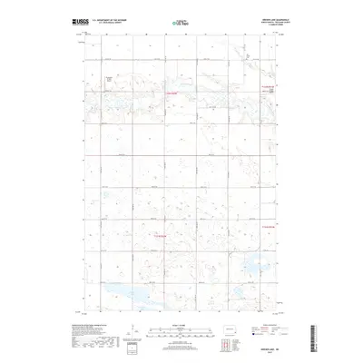
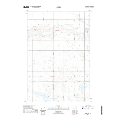
(20)- 2011 Map of Kreiser Lake, 2011 Print
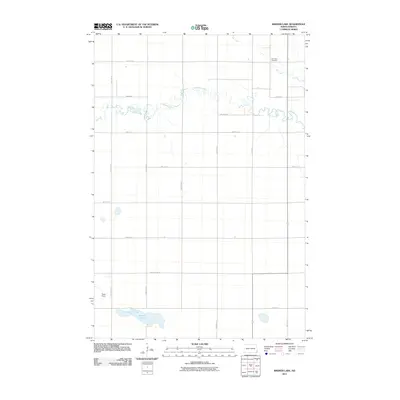 2011 Kreiser Lake2011 Print · USGSCovers Danton Township, including Dexter Township, Wyndmere Township, and other nearby areas
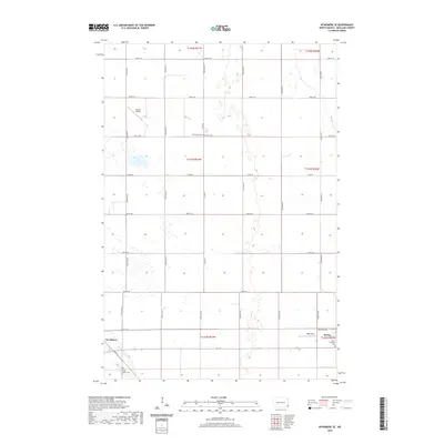
 - 2011 Map of Wyndmere SE, 2011 Print
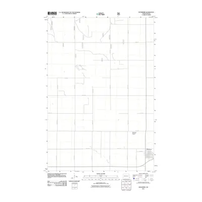
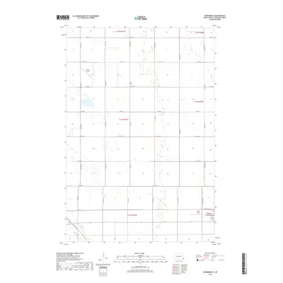
 2011 Wyndmere SE2011 Print · USGSCovers Danton Township, including Wyndmere, Barney, and other nearby areas
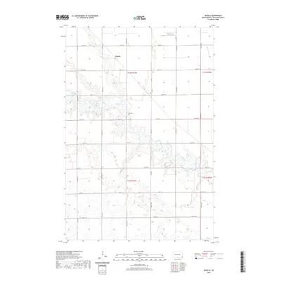
 - 2011 Map of Moselle, 2011 Print
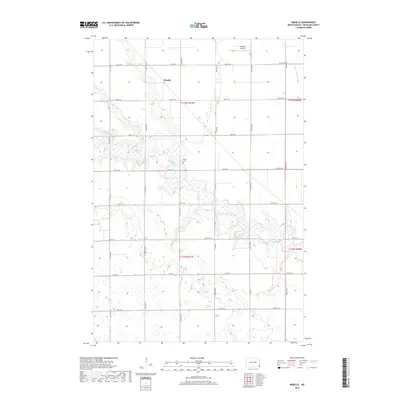
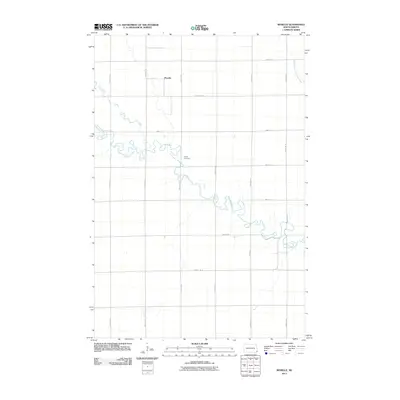 2011 Moselle2011 Print · USGSCovers Danton Township, including Belford Township, Barney Township, and other nearby areas
 - 2011 Map of Wyndmere, 2011 Print
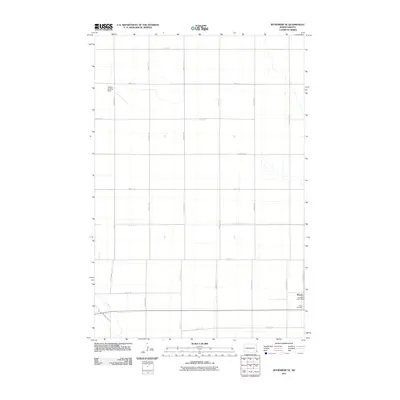
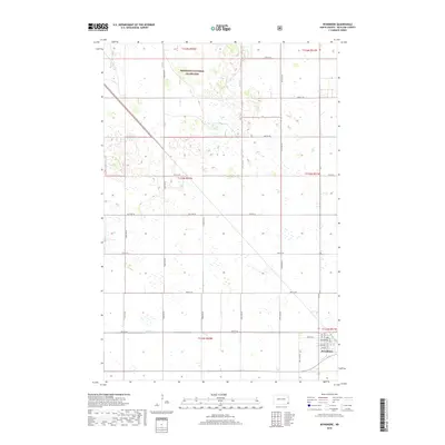
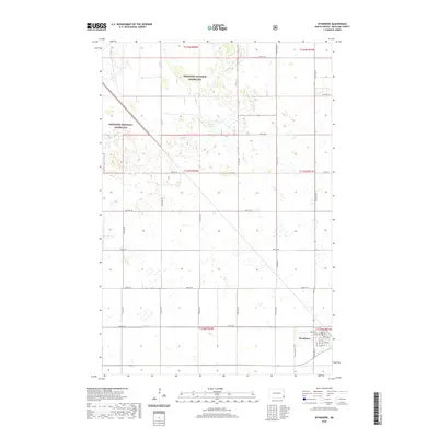
 2011 Wyndmere2011 Print · USGSCovers Danton Township, including Wyndmere, Garborg Township, and other nearby areas
 - 2014 Map of Moselle, 2014 Print
 2014 Moselle2014 Print · USGSCovers Danton Township, including Belford Township, Barney Township, and other nearby areas
 - 2014 Map of Kreiser Lake, 2014 Print
 2014 Kreiser Lake2014 Print · USGSCovers Danton Township, including Dexter Township, Wyndmere Township, and other nearby areas
 - 2014 Map of Wyndmere SE, 2014 Print
 2014 Wyndmere SE2014 Print · USGSCovers Danton Township, including Wyndmere, Barney, and other nearby areas
 - 2014 Map of Wyndmere, 2014 Print
 2014 Wyndmere2014 Print · USGSCovers Danton Township, including Wyndmere, Garborg Township, and other nearby areas
 - 2017 Map of Kreiser Lake, 2017 Print
 2017 Kreiser Lake2017 Print · USGSCovers Danton Township, including Dexter Township, Wyndmere Township, and other nearby areas
 - 2018 Map of Wyndmere, 2018 Print
 2018 Wyndmere2018 Print · USGSCovers Danton Township, including Wyndmere, Garborg Township, and other nearby areas
 - 2018 Map of Wyndmere SE, 2018 Print
 2018 Wyndmere SE2018 Print · USGSCovers Danton Township, including Wyndmere, Barney, and other nearby areas
 - 2018 Map of Moselle, 2018 Print
 2018 Moselle2018 Print · USGSCovers Danton Township, including Belford Township, Barney Township, and other nearby areas
 - 2020 Map of Kreiser Lake, 2020 Print
 2020 Kreiser Lake2020 Print · USGSCovers Danton Township, including Dexter Township, Wyndmere Township, and other nearby areas
 - 2020 Map of Wyndmere SE, 2020 Print
 2020 Wyndmere SE2020 Print · USGSCovers Danton Township, including Wyndmere, Barney, and other nearby areas
 - 2020 Map of Wyndmere, 2020 Print
 2020 Wyndmere2020 Print · USGSCovers Danton Township, including Wyndmere, Garborg Township, and other nearby areas
 - 2020 Map of Moselle, 2020 Print
 2020 Moselle2020 Print · USGSCovers Danton Township, including Belford Township, Barney Township, and other nearby areas
 - 2024 Map of Wyndmere, 2024 Print
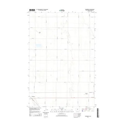
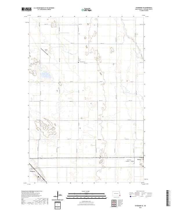
 2024 Wyndmere2024 Print · USGSThe rural landscape around Wyndmere in the 2020s shows a structured balance between agriculture and conservation. Researchers can trace the local street grid of Wyndmere or explore the preserved sections of the Sheyenne National Grassland.
 - 2024 Map of Kreiser Lake, 2024 Print
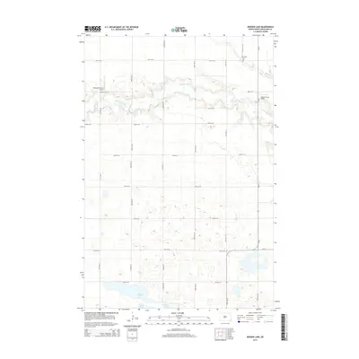
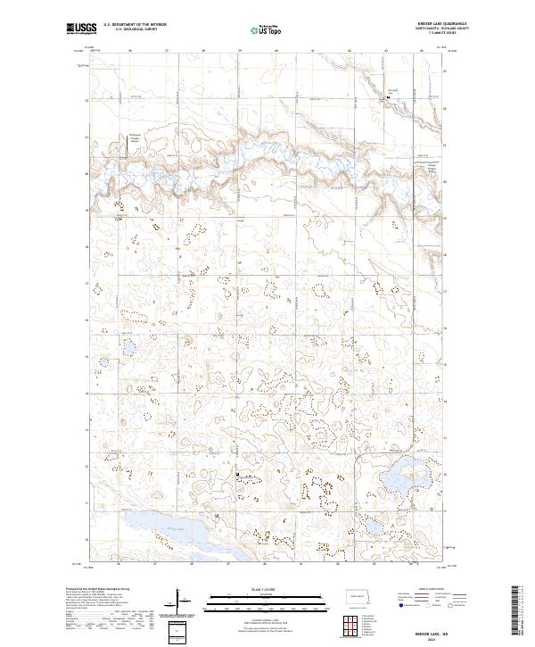 2024 Kreiser Lake2024 Print · USGSRichland County at the start of the 2020s remains a landscape of vast agricultural sections and prairie wetlands. Genealogists and local historians can locate early burial sites like Otterburn Cem and Elk Creek Cem near the winding Wild Rice River.
 - 2024 Map of Moselle, 2024 Print
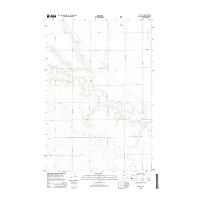
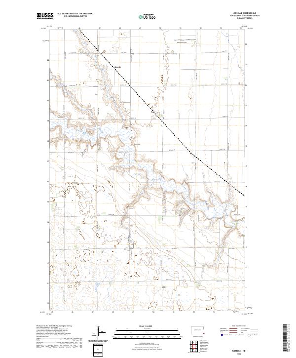 2024 Moselle2024 Print · USGSRichland County, North Dakota, is captured here in the early twenty-first century, showcasing its agricultural grid and river valley topography. Researchers can trace the meandering Wild Rice River and locate local landmarks like the Nulph Cem and Goerger Airport.
 - 2024 Map of Wyndmere SE, 2024 Print
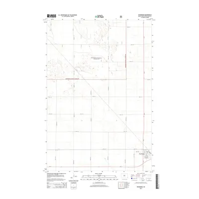
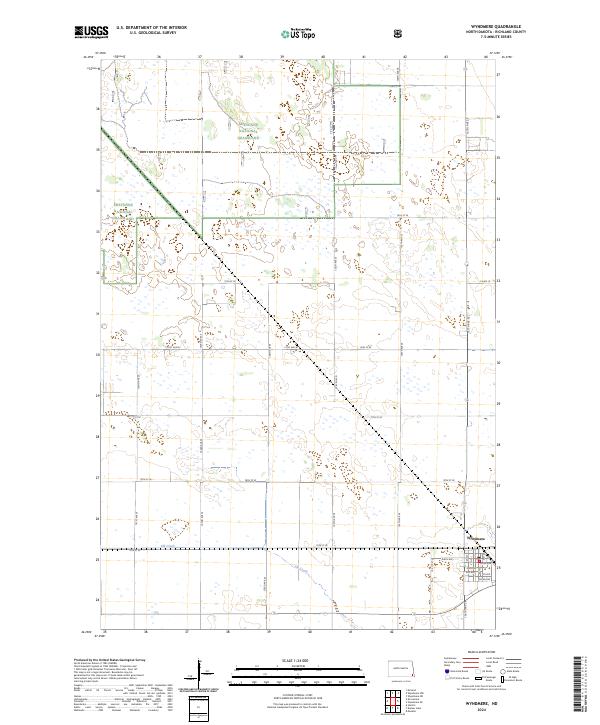
 2024 Wyndmere SE2024 Print · USGSRichland County at the start of the 2020s shows the enduring agricultural grid and rail-adjacent towns of the North Dakota prairie. Genealogists and local historians can trace family plots at Homestead Cem and Saint John's Cem or locate the rural airstrips at Sanden Airport and Hager Strip.
End of results
Showing maps 1-20 of 20
Top cities near Danton Township
- Hankinson historical maps
- Lidgerwood historical maps
- Wyndmere historical maps
- Mooreton historical maps
- Colfax historical maps
- Mantador historical maps
See more
Top neighborhoods of Danton Township
Frequently asked questions
- What are the different types of historical maps available for Danton Township?
- What is the oldest map of Danton Township?
- Where can I purchase historical maps of Danton Township for my home or office?
- Where can I download high-res historical maps of Danton Township?
- Are there historical topographic maps available for Danton Township?
- Is there historical aerial imagery available for Danton Township?
- Where are historical maps of Danton Township sourced from?