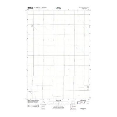
2011 Map of Wyndmere SE
USGS Topo · Published 2011About this map
Barney serves as the primary focal point of this agricultural landscape in southeastern North Dakota, located at a crossroads in the southeastern corner of the quadrangle. The township structure is defined by an orderly grid of section lines, including 72nd St SE and 158th Ave SE. Near the settlement of Barney, the Peace Cemetery and the Oberweis Post Office provide specific points of interest for genealogists and local historians tracking family roots in Richland County. The presence of the Sanden Landing Strip in the northwest suggests the continued importance of aviation in managing these large agricultural tracts. While the terrain is largely dominated by the road grid, the map also traces the natural, meandering paths of seasonal waterways that break the geometric precision of the section lines.
Find a feature on this map
22 named features on this map. Tap any name to fly to it.
Don’t see what you’re looking for? This feature index may not catch every label — zoom into the map to look around manually.
Map Details
Editions of this 2011 Wyndmere SE Map
This is the sole edition of this map. No revisions or reprints were ever made.
Other maps of this area

1904 · Wahpeton
USGS Topo · 1:125,000

1907 · Wyndmere
USGS Topo · 1:125,000

1953 · Fargo
USGS Topo · 1:250,000

1956 · Fargo
USGS Topo · 1:250,000

1959 · Wyndmere NE
USGS Topo · 1:24,000

1959 · Mooreton NW
USGS Topo · 1:24,000

1960 · Wyndmere
USGS Topo · 1:24,000

1960 · Wyndmere NW
USGS Topo · 1:24,000

1960 · Mooreton West
USGS Topo · 1:24,000

1960 · Wyndmere SE
USGS Topo · 1:24,000