2010s Maps of Troy Township, Ohio
Explore 16 historic maps of Troy Township from the 2010s. These maps offer a rare glimpse into what life looked like during the 2010s — showing old roads, neighborhoods, homes, and landmarks that have changed or disappeared over time.
Whether you're researching your family's past, planning a metal detecting trip, or studying how Troy Township's landscape evolved across the 2010s, these high-resolution maps are a powerful tool for exploring the history of this region.
- Focus on a specific era: All maps on this page are from the 2010s, giving you a focused view of this time period.
- See what’s changed: Compare century-old streets, trails, and buildings to today's modern landscape using overlays and satellite layers.
- Research with precision: Use these maps for genealogy, historical research, land use analysis, or educational projects.
- View, download, or print: Maps are fully viewable online in high resolution, and can be downloaded or printed for your own records.
Start exploring Troy Township's history through authentic maps from the 2010s. This is your window into the past.
Troy Township, OH maps
(16)- 2010 Map of Little Hocking, 2010 Print
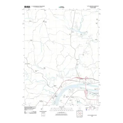 2010 Little Hocking2010 Print · USGSThe Ohio River valley near Belpre comes to life in this detailed study of the riverfront and its interior highlands. Researchers can trace family roots through numerous burial grounds like Quaker Cemetery and Saint Marys Cemetery or locate old river access points at Lewis Landing.
 - 2010 Map of Lubeck, 2010 Print
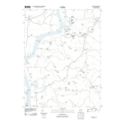 2010 Lubeck2010 Print · USGSThe West Virginia riverfront comes alive in this 2010 survey of the Wood County hills and the busy Ohio River corridor. Genealogists can trace family roots through dozens of sites like Newberry Cemetery, while mapping old river crossings at Harris Ferry and Duttons Landing.
 - 2011 Map of Coolville, 2011 Print
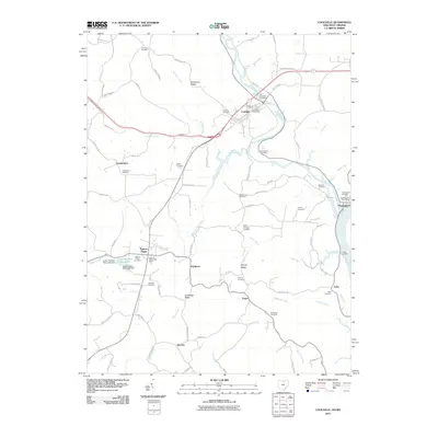 2011 Coolville2011 Print · USGSSoutheast Ohio's river valleys and ridgelines are mapped in detail here as the new millennium began. Researchers can trace rural lineages through sites like Fairview Cemetery, the settlement of Tuppers Plains, and the riverfront at Hockingport.
 - 2011 Map of Cutler, 2011 Print
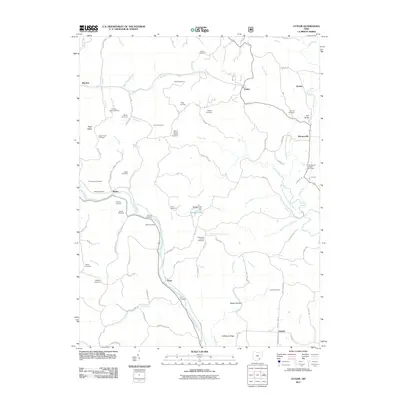 2011 Cutler2011 Print · USGSSoutheast Ohio’s rural landscape is captured here in the early twenty-first century, centered on the Hocking River valley. Researchers can trace deep family roots through numerous sites like Haga Church Cemetery, Decaturville, and the Centennial Church.
 - 2013 Map of Cutler, 2013 Print
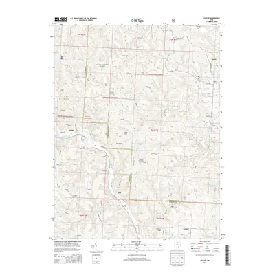 2013 Cutler2013 Print · USGSSoutheastern Ohio's wooded ridges and creek valleys are captured here in the early 21st century. Researchers can trace dozens of family burial sites like Jarvis Cem and Harris Cem or locate community centers at Centennial Church Cem and Decaturville.
 - 2013 Map of Coolville, 2013 Print
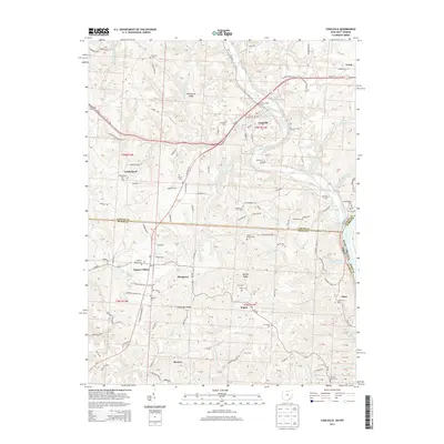 2013 Coolville2013 Print · USGSThe Hocking River valley and the Ohio River border are captured here in the early twenty-first century. Genealogists can locate numerous rural burial sites like Old Coolville Cem and Tuppers Plains Cem or trace the old roads of Vanderhoof and Success.
 - 2013 Map of Little Hocking, 2013 Print
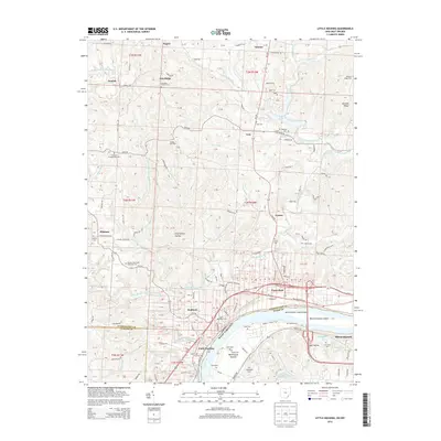 2013 Little Hocking2013 Print · USGSThe Ohio River borderlands are captured here in the early 2010s, showing the intersection of Washington County and West Virginia. Researchers can trace ancestral sites and local landmarks from Blennerhassett Island to Little Hocking and the Fairfield Church Cem.
 - 2014 Map of Lubeck, 2014 Print
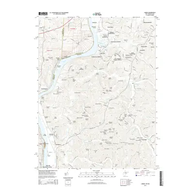 2014 Lubeck2014 Print · USGSThe Wood County riverfront comes alive in this modern survey of the Ohio River valley and its expanding residential hills. Genealogists can trace family footprints across dozens of local burial sites, including Munchmeyers Cem, Lubeck Cem, and the New England Cem.
 - 2016 Map of Lubeck, 2016 Print
 2016 Lubeck2016 Print · USGSWood County’s riverfront and ridge settlements are captured here in the mid-2010s, showcasing the traditional landscape of the Ohio River valley. Researchers can trace historic family burial sites and rural landmarks, from the Fort Belleville Cem to the Fairview Methodist Episcopal Church.
 - 2016 Map of Cutler, 2016 Print
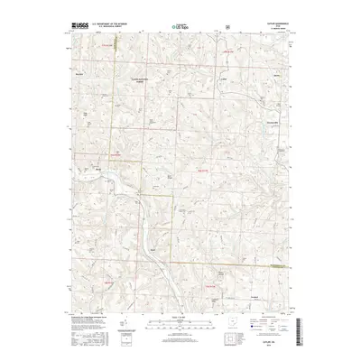 2016 Cutler2016 Print · USGSSoutheastern Ohio's rural hill country is documented here in the late twenty-teens, showing the Hocking River valley and the dense woods of the Wayne National Forest. Researchers can locate dozens of pioneer burial sites like Timothy Jones Cem and trace old routes through Decaturville and Frost.
 - 2016 Map of Little Hocking, 2016 Print
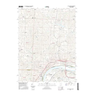 2016 Little Hocking2016 Print · USGSThe Ohio River valley near the West Virginia border comes into focus in this recent survey of Washington County. Researchers can trace historic cemeteries and small rural settlements like Veto, Porterfield, and the grounds of Fairfield Church Cem.
 - 2016 Map of Coolville, 2016 Print
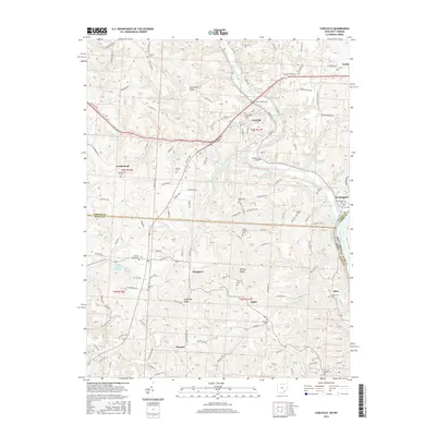 2016 Coolville2016 Print · USGSSoutheast Ohio’s river-carved landscape and early settlements are documented here near the confluence of the Hocking and Ohio Rivers. Genealogists can trace family lines through numerous burial sites like Old Coolville Cemetery, White Chapel, and the riverside community of Hockingport.
 - 2019 Map of Cutler, 2019 Print
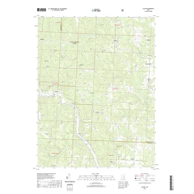 2019 Cutler2019 Print · USGSThe hill country of southeast Ohio reveals its deep settlement history along the Athens and Washington County line. Family researchers can trace ancestral sites at Mount Liberty Chapel Cem, Troy Cem, and Burnett Cem among the ridges and hollows.
 - 2019 Map of Coolville, 2019 Print
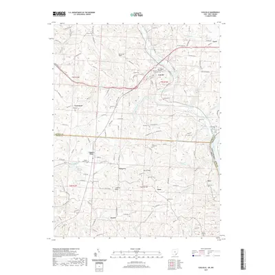 2019 Coolville2019 Print · USGSSoutheast Ohio ridge country comes into focus in this late 2010s survey, showing the rural communities between the Hocking and Ohio Rivers. Researchers can locate numerous family-named landmarks and burial grounds like Old Coolville Cem, Heiney Ridge, and White Chapel Cem.
 - 2019 Map of Lubeck, 2019 Print
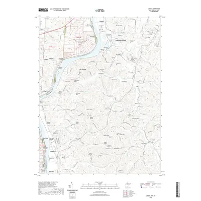 2019 Lubeck2019 Print · USGSWest Virginia's riverfront heritage is on display in this contemporary view of the Wood County borderlands along the Ohio River. Genealogists can trace family lines through numerous upland burial sites like Boso Cem, Wigal Cem, and the Fairview Methodist Episcopal Church Cem.
 - 2019 Map of Little Hocking, 2019 Print
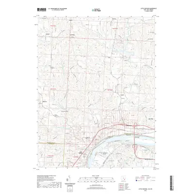 2019 Little Hocking2019 Print · USGSSoutheast Ohio’s riverfront comes into focus in this late 2010s study of the Ohio River valley and its surrounding ridges. Genealogists can locate several family landmarks and burial sites, from Little Hocking Cemetery to the remote Quaker Cemetery and Hopkins Cemetery.
End of results
Showing maps 1-16 of 16
Top cities near Troy Township
- Parkersburg historical maps
- Belpre historical maps
- Blennerhassett historical maps
- Dunham historical maps
- Barlow historical maps
- Chester historical maps
See more
Top neighborhoods of Troy Township
- Hockingport historical maps
- Torch historical maps
- Ireland historical maps
- Youba historical maps
- Coolville historical maps
Frequently asked questions
- What are the different types of historical maps available for Troy Township?
- What is the oldest map of Troy Township?
- Where can I purchase historical maps of Troy Township for my home or office?
- Where can I download high-res historical maps of Troy Township?
- Are there historical topographic maps available for Troy Township?
- Is there historical aerial imagery available for Troy Township?
- Where are historical maps of Troy Township sourced from?