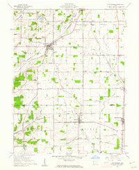
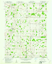
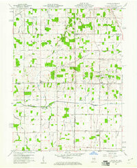
1900s (20th Century) Maps of Darke County, Ohio
Explore 37 historic maps of Darke County from the 1900s (20th Century). These maps offer a rare glimpse into what life looked like during the 1900s — showing old roads, neighborhoods, homes, and landmarks that have changed or disappeared over time.
Whether you're researching your family's past, planning a metal detecting trip, or studying how Darke County's landscape evolved across the 1900s, these high-resolution maps are a powerful tool for exploring the history of this region.
- Focus on a specific era: All maps on this page are from the 1900s, giving you a focused view of this time period.
- See what’s changed: Compare century-old streets, trails, and buildings to today's modern landscape using overlays and satellite layers.
- Research with precision: Use these maps for genealogy, historical research, land use analysis, or educational projects.
- View, download, or print: Maps are fully viewable online in high resolution, and can be downloaded or printed for your own records.
Start exploring Darke County's history through authentic maps from the 1900s. This is your window into the past.
Darke County, OH maps
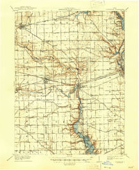
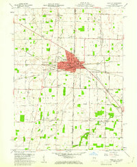
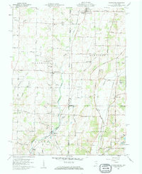
(37)- 1905 Map of Brookville, 1953 Print
 1905 Brookville1953 Print · USGSCovers Darke County, including Dayton, Trotwood, and other nearby areas
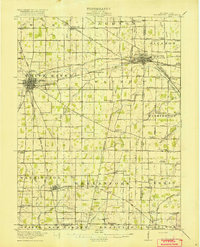
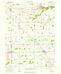
 - 1908 Map of St. Henry, 1944 Print
 1908 St. Henry1944 Print · USGSCovers Darke County, including Coldwater, St. Henry, and other nearby areas
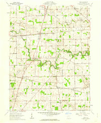
 - 1909 Map of Loramie, 1961 Print
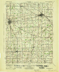
 1909 Loramie1961 Print · USGSCovers Darke County, including New Bremen, Minster, and other nearby areas
 - 1911 Map of Loramie, 1936 Print
 1911 Loramie1936 Print · USGSCovers Darke County, including New Bremen, Minster, and other nearby areas
 - 1911 Map of Covington, 1946 Print
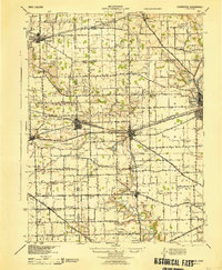
 1911 Covington1946 Print · USGSCovers Darke County, including Troy, Piqua, and other nearby areas
 - 1915 Map of Fort Recovery
 1915 Fort Recovery1915 Print · USGSCovers Darke County, including Portland, Fort Recovery, and other nearby areas2 unique versions available
 - 1915 Map of New Paris
 1915 New Paris1915 Print · USGSCovers Darke County, including Richmond, Centerville, and other nearby areas
 - 1916 Map of Winchester
 1916 Winchester1916 Print · USGSCovers Darke County, including Winchester, Union City, and other nearby areas3 unique versions available
 - 1918 Map of Winchester
 1918 Winchester1918 Print · USGSCovers Darke County, including Winchester, Union City, and other nearby areas2 unique versions available
 - 1918 Map of Fort Recovery, 1922 Print
 1918 Fort Recovery1922 Print · USGSCovers Darke County, including Portland, Fort Recovery, and other nearby areas
 - 1918 Map of New Paris, 1922 Print
 1918 New Paris1922 Print · USGSCovers Darke County, including Richmond, Centerville, and other nearby areas
 - 1943 Map of Winchester, 1944 Print
 1943 Winchester1944 Print · USGSCovers Darke County, including Winchester, Union City, and other nearby areas
 - 1944 Map of Covington
 1944 Covington1944 Print · USGSCovers Darke County, including Troy, Piqua, and other nearby areas
 - 1944 Map of Loramie
 1944 Loramie1944 Print · USGSCovers Darke County, including New Bremen, Minster, and other nearby areas
 - 1953 Map of Cincinnati, 1965 Print
 1953 Cincinnati1965 Print · USGSCovers Darke County, including Indianapolis, Cincinnati, and other nearby areas3 unique versions available
 - 1953 Map of Muncie, 1966 Print
 1953 Muncie1966 Print · USGSCovers Darke County, including Fort Wayne, Fishers, and other nearby areas5 unique versions available
 - 1956 Map of Muncie
 1956 Muncie1956 Print · USGSCovers Darke County, including Fort Wayne, Fishers, and other nearby areas
 - 1957 Map of Cincinnati
 1957 Cincinnati1957 Print · USGSCovers Darke County, including Indianapolis, Cincinnati, and other nearby areas
 - 1960 Map of Union City, 1961 Print
 1960 Union City1961 Print · USGSCovers Darke County, including Union City, Union City, and other nearby areas4 unique versions available
 - 1960 Map of New Madison, 1961 Print
 1960 New Madison1961 Print · USGSCovers Darke County, including New Madison, Eldorado, and other nearby areas3 unique versions available
 - 1960 Map of Spartanburg, 1961 Print
 1960 Spartanburg1961 Print · USGSCovers Darke County, including Hollansburg, Palestine, and other nearby areas2 unique versions available
 - 1960 Map of Cosmos, 1961 Print
 1960 Cosmos1961 Print · USGSCovers Darke County, including Salem, Bucks Corner, and other nearby areas4 unique versions available
 - 1960 Map of Whitewater, 1961 Print
 1960 Whitewater1961 Print · USGSCovers Darke County, including Richmond, Hollansburg, and other nearby areas3 unique versions available
 - 1961 Map of Laura, 1962 Print
 1961 Laura1962 Print · USGSCovers Darke County, including Phillipsburg, Laura, and other nearby areas2 unique versions available
 - 1961 Map of Dawn, 1962 Print
 1961 Dawn1962 Print · USGSCovers Darke County, including Greenville, Versailles, and other nearby areas3 unique versions available
Showing maps 1-25 of 37
Top cities of Darke County
- Greenville historical maps
- Versailles historical maps
- Arcanum historical maps
- Union City historical maps
- Ansonia historical maps
- New Madison historical maps
See more
Frequently asked questions
- What are the different types of historical maps available for Darke County?
- What is the oldest map of Darke County?
- Where can I purchase historical maps of Darke County for my home or office?
- Where can I download high-res historical maps of Darke County?
- Are there historical topographic maps available for Darke County?
- Is there historical aerial imagery available for Darke County?
- Where are historical maps of Darke County sourced from?