Old Maps of Darke County, Ohio for Academic Research
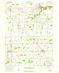
Study the evolution of Darke County with 53 high-resolution historic maps. Whether you're teaching, researching, or modeling changes in land use, these maps provide essential visual documentation of urban, environmental, and geographic change.
- Analyze long-term change: Track patterns in development, transportation, and natural features.
- Ideal for environmental or urban studies: Support academic projects with primary historical map data.
- Use in the classroom or lab: Educators and researchers rely on these maps to bring historical context to life.
These maps are a powerful tool for teaching, research, and visualizing how Darke County has changed over the decades.
Darke County, OH maps
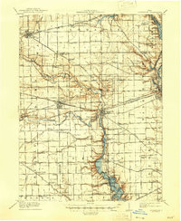
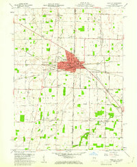
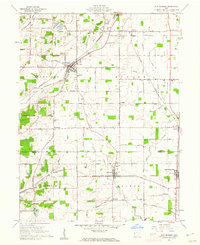
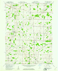
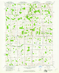
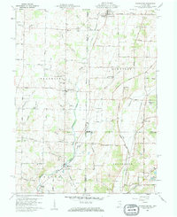
(53)- 1905 Map of Brookville, 1953 Print
 1905 Brookville1953 Print · USGSCovers Darke County, including Dayton, Trotwood, and other nearby areas
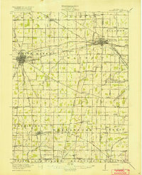
 - 1908 Map of St. Henry, 1944 Print
 1908 St. Henry1944 Print · USGSCovers Darke County, including Coldwater, St. Henry, and other nearby areas
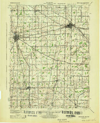
 - 1909 Map of Loramie, 1961 Print
 1909 Loramie1961 Print · USGSCovers Darke County, including New Bremen, Minster, and other nearby areas
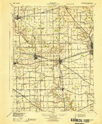
 - 1911 Map of Loramie, 1936 Print
 1911 Loramie1936 Print · USGSCovers Darke County, including New Bremen, Minster, and other nearby areas
 - 1911 Map of Covington, 1946 Print
 1911 Covington1946 Print · USGSCovers Darke County, including Troy, Piqua, and other nearby areas
 - 1915 Map of Fort Recovery
 1915 Fort Recovery1915 Print · USGSCovers Darke County, including Portland, Fort Recovery, and other nearby areas2 unique versions available
 - 1915 Map of New Paris
 1915 New Paris1915 Print · USGSCovers Darke County, including Richmond, Centerville, and other nearby areas
 - 1916 Map of Winchester
 1916 Winchester1916 Print · USGSCovers Darke County, including Winchester, Union City, and other nearby areas3 unique versions available
 - 1918 Map of Winchester
 1918 Winchester1918 Print · USGSCovers Darke County, including Winchester, Union City, and other nearby areas2 unique versions available
 - 1918 Map of Fort Recovery, 1922 Print
 1918 Fort Recovery1922 Print · USGSCovers Darke County, including Portland, Fort Recovery, and other nearby areas
 - 1918 Map of New Paris, 1922 Print
 1918 New Paris1922 Print · USGSCovers Darke County, including Richmond, Centerville, and other nearby areas
 - 1943 Map of Winchester, 1944 Print
 1943 Winchester1944 Print · USGSCovers Darke County, including Winchester, Union City, and other nearby areas
 - 1944 Map of Covington
 1944 Covington1944 Print · USGSCovers Darke County, including Troy, Piqua, and other nearby areas
 - 1944 Map of Loramie
 1944 Loramie1944 Print · USGSCovers Darke County, including New Bremen, Minster, and other nearby areas
 - 1953 Map of Cincinnati, 1965 Print
 1953 Cincinnati1965 Print · USGSCovers Darke County, including Indianapolis, Cincinnati, and other nearby areas3 unique versions available
 - 1953 Map of Muncie, 1966 Print
 1953 Muncie1966 Print · USGSCovers Darke County, including Fort Wayne, Fishers, and other nearby areas5 unique versions available
 - 1956 Map of Muncie
 1956 Muncie1956 Print · USGSCovers Darke County, including Fort Wayne, Fishers, and other nearby areas
 - 1957 Map of Cincinnati
 1957 Cincinnati1957 Print · USGSCovers Darke County, including Indianapolis, Cincinnati, and other nearby areas
 - 1960 Map of Union City, 1961 Print
 1960 Union City1961 Print · USGSCovers Darke County, including Union City, Union City, and other nearby areas4 unique versions available
 - 1960 Map of New Madison, 1961 Print
 1960 New Madison1961 Print · USGSCovers Darke County, including New Madison, Eldorado, and other nearby areas3 unique versions available
 - 1960 Map of Spartanburg, 1961 Print
 1960 Spartanburg1961 Print · USGSCovers Darke County, including Hollansburg, Palestine, and other nearby areas2 unique versions available
 - 1960 Map of Cosmos, 1961 Print
 1960 Cosmos1961 Print · USGSCovers Darke County, including Salem, Bucks Corner, and other nearby areas4 unique versions available
 - 1960 Map of Whitewater, 1961 Print
 1960 Whitewater1961 Print · USGSCovers Darke County, including Richmond, Hollansburg, and other nearby areas3 unique versions available
 - 1961 Map of Laura, 1962 Print
 1961 Laura1962 Print · USGSCovers Darke County, including Phillipsburg, Laura, and other nearby areas2 unique versions available
 - 1961 Map of Dawn, 1962 Print
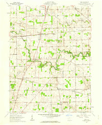 1961 Dawn1962 Print · USGSCovers Darke County, including Greenville, Versailles, and other nearby areas3 unique versions available
Showing maps 1-25 of 53
Top cities of Darke County
- Greenville historical maps
- Versailles historical maps
- Arcanum historical maps
- Union City historical maps
- Ansonia historical maps
- New Madison historical maps
See more
Frequently asked questions
- What are the different types of historical maps available for Darke County?
- What is the oldest map of Darke County?
- Where can I purchase historical maps of Darke County for my home or office?
- Where can I download high-res historical maps of Darke County?
- Are there historical topographic maps available for Darke County?
- Is there historical aerial imagery available for Darke County?
- Where are historical maps of Darke County sourced from?