2000s (21st Century) Maps of Fairfield County, Ohio
Explore 86 historic maps of Fairfield County from the 2000s (21st Century). These maps offer a rare glimpse into what life looked like during the 2000s — showing old roads, neighborhoods, homes, and landmarks that have changed or disappeared over time.
Whether you're researching your family's past, planning a metal detecting trip, or studying how Fairfield County's landscape evolved across the 2000s, these high-resolution maps are a powerful tool for exploring the history of this region.
- Focus on a specific era: All maps on this page are from the 2000s, giving you a focused view of this time period.
- See what’s changed: Compare century-old streets, trails, and buildings to today's modern landscape using overlays and satellite layers.
- Research with precision: Use these maps for genealogy, historical research, land use analysis, or educational projects.
- View, download, or print: Maps are fully viewable online in high resolution, and can be downloaded or printed for your own records.
Start exploring Fairfield County's history through authentic maps from the 2000s. This is your window into the past.
Fairfield County, OH maps
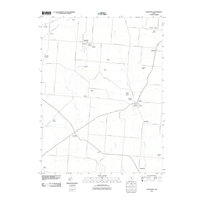
(86)- 2002 Map of Junction City, 2006 Print
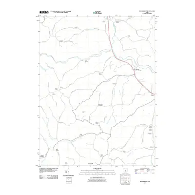
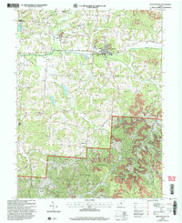 2002 Junction City2006 Print · USGSPerry and Fairfield counties are shown at the turn of the millennium as industrial remnants meet national forest lands. Local historians can trace old family sites like Harvey Cem and church congregations at Friendship Ch or Turkey Creek Ch.
 - 2010 Map of Reynoldsburg, 2010 Print
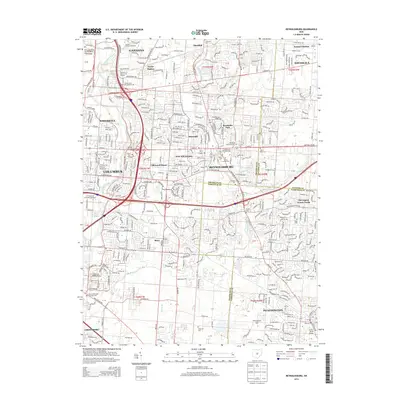
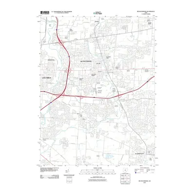 2010 Reynoldsburg2010 Print · USGSCovers Fairfield County, including Columbus, Reynoldsburg, and other nearby areas
 - 2010 Map of Amanda, 2010 Print
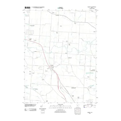
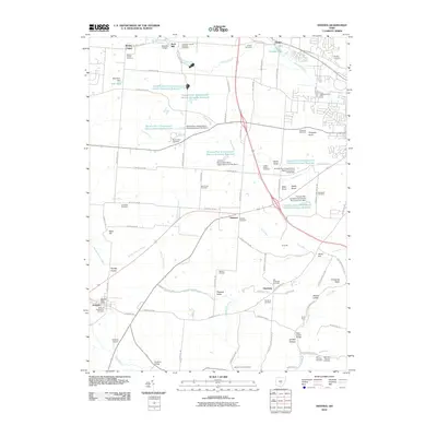 2010 Amanda2010 Print · USGSCovers Fairfield County, including Lancaster, Amanda, and other nearby areas
 - 2010 Map of Millersport, 2010 Print
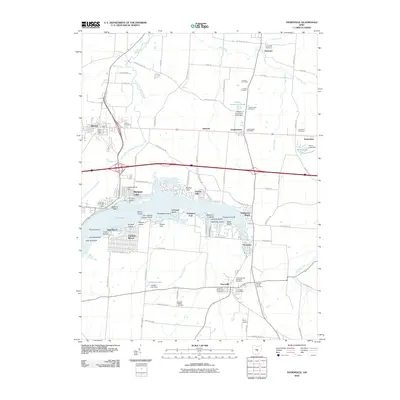
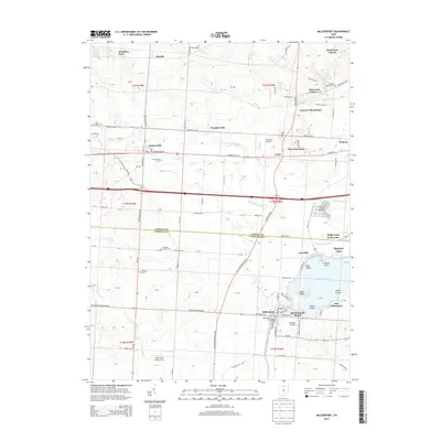
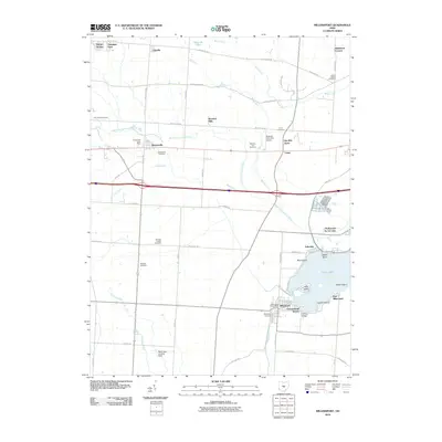 2010 Millersport2010 Print · USGSCovers Fairfield County, including Hebron, Millersport, and other nearby areas
 - 2010 Map of Baltimore, 2010 Print
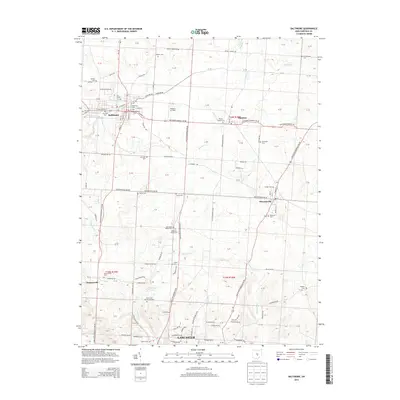
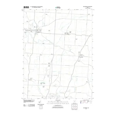 2010 Baltimore2010 Print · USGSCovers Fairfield County, including Lancaster, Baltimore, and other nearby areas
 - 2010 Map of Pataskala, 2010 Print
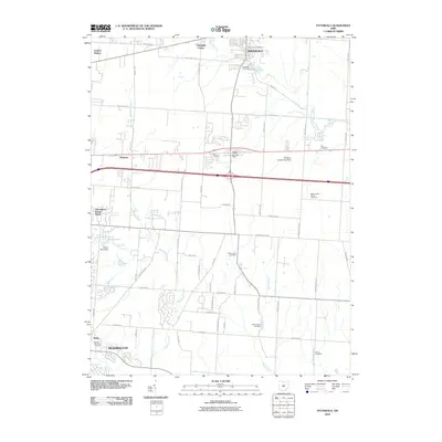 2010 Pataskala2010 Print · USGSCovers Fairfield County, including Reynoldsburg, Pickerington, and other nearby areas
 - 2010 Map of Rushville, 2010 Print
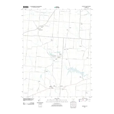 2010 Rushville2010 Print · USGSCovers Fairfield County, including Rushville, West Rushville, and other nearby areas
 - 2010 Map of East Ringgold, 2010 Print
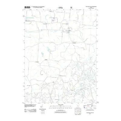
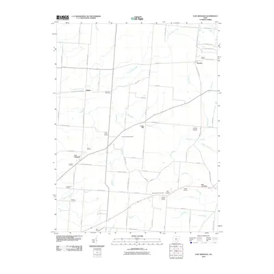 2010 East Ringgold2010 Print · USGSCovers Fairfield County, including Walnut, Amanda, and other nearby areas
 - 2010 Map of Stoutsville, 2010 Print
 2010 Stoutsville2010 Print · USGSCovers Fairfield County, including Stoutsville, Tarlton, and other nearby areas
 - 2010 Map of Lancaster, 2010 Print
 2010 Lancaster2010 Print · USGSCovers Fairfield County, including Lancaster, Sugar Grove, and other nearby areas
 - 2010 Map of Clearport, 2010 Print
 2010 Clearport2010 Print · USGSCovers Fairfield County, including Drinkle, Clearport, and other nearby areas
 - 2010 Map of Canal Winchester, 2010 Print
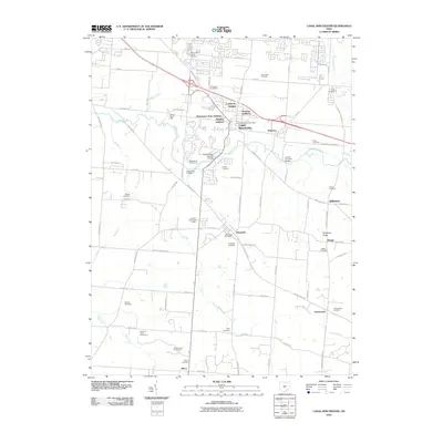 2010 Canal Winchester2010 Print · USGSCovers Fairfield County, including Columbus, Pickerington, and other nearby areas
 - 2010 Map of Rockbridge, 2010 Print
 2010 Rockbridge2010 Print · USGSCovers Fairfield County, including Sugar Grove, Berne Township, and other nearby areas
 - 2010 Map of Carroll, 2010 Print
 2010 Carroll2010 Print · USGSCovers Fairfield County, including Lancaster, Pickerington, and other nearby areas
 - 2010 Map of Thornville, 2010 Print
 2010 Thornville2010 Print · USGSCovers Fairfield County, including Heath, Hebron, and other nearby areas
 - 2011 Map of Junction City, 2011 Print
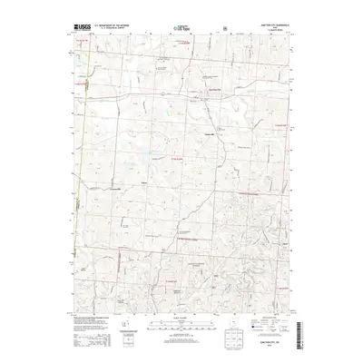
 2011 Junction City2011 Print · USGSCovers Fairfield County, including Junction City, Crossenville, and other nearby areas
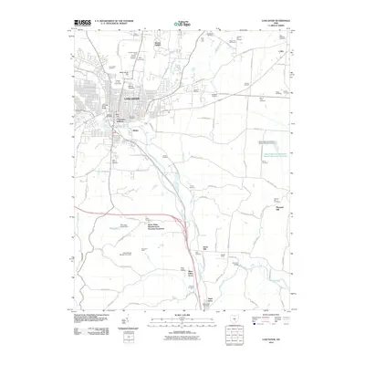
 - 2011 Map of Logan, 2011 Print
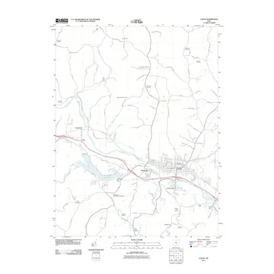 2011 Logan2011 Print · USGSCovers Fairfield County, including Logan, West Logan, and other nearby areas
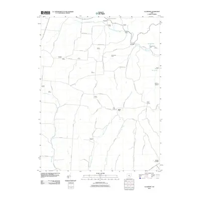
 - 2011 Map of Bremen, 2011 Print
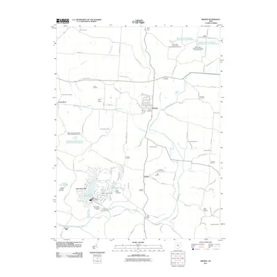 2011 Bremen2011 Print · USGSCovers Fairfield County, including Bremen, Avlon, and other nearby areas
 - 2013 Map of Logan, 2013 Print
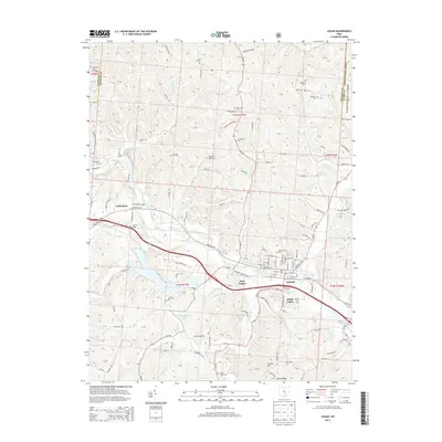 2013 Logan2013 Print · USGSCovers Fairfield County, including Logan, West Logan, and other nearby areas
 - 2013 Map of Rushville, 2013 Print
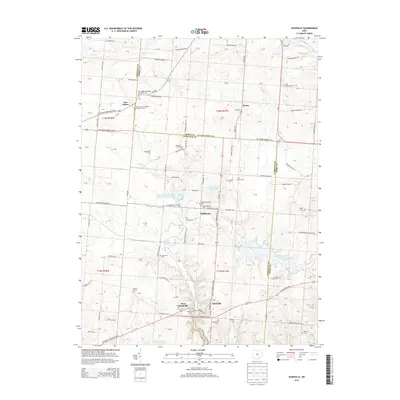 2013 Rushville2013 Print · USGSCovers Fairfield County, including Rushville, West Rushville, and other nearby areas
 - 2013 Map of Reynoldsburg, 2013 Print
 2013 Reynoldsburg2013 Print · USGSCovers Fairfield County, including Columbus, Reynoldsburg, and other nearby areas
 - 2013 Map of Baltimore, 2013 Print
 2013 Baltimore2013 Print · USGSCovers Fairfield County, including Lancaster, Baltimore, and other nearby areas
 - 2013 Map of Junction City, 2013 Print
 2013 Junction City2013 Print · USGSCovers Fairfield County, including Junction City, Crossenville, and other nearby areas
 - 2013 Map of Rockbridge, 2013 Print
 2013 Rockbridge2013 Print · USGSCovers Fairfield County, including Sugar Grove, Berne Township, and other nearby areas
 - 2013 Map of Millersport, 2013 Print
 2013 Millersport2013 Print · USGSCovers Fairfield County, including Hebron, Millersport, and other nearby areas
Showing maps 1-25 of 86
Top cities of Fairfield County
Frequently asked questions
- What are the different types of historical maps available for Fairfield County?
- What is the oldest map of Fairfield County?
- Where can I purchase historical maps of Fairfield County for my home or office?
- Where can I download high-res historical maps of Fairfield County?
- Are there historical topographic maps available for Fairfield County?
- Is there historical aerial imagery available for Fairfield County?
- Where are historical maps of Fairfield County sourced from?