2000s (21st Century) Maps of Flag, Ohio
Explore 6 historic maps of Flag from the 2000s (21st Century). These maps offer a rare glimpse into what life looked like during the 2000s — showing old roads, neighborhoods, homes, and landmarks that have changed or disappeared over time.
Whether you're researching your family's past, planning a metal detecting trip, or studying how Flag's landscape evolved across the 2000s, these high-resolution maps are a powerful tool for exploring the history of this region.
- Focus on a specific era: All maps on this page are from the 2000s, giving you a focused view of this time period.
- See what’s changed: Compare century-old streets, trails, and buildings to today's modern landscape using overlays and satellite layers.
- Research with precision: Use these maps for genealogy, historical research, land use analysis, or educational projects.
- View, download, or print: Maps are fully viewable online in high resolution, and can be downloaded or printed for your own records.
Start exploring Flag's history through authentic maps from the 2000s. This is your window into the past.
Flag, OH maps
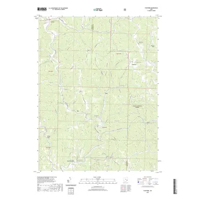
(6)- 2002 Map of Stafford, 2006 Print
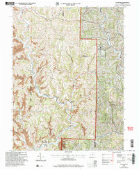 2002 Stafford2006 Print · USGSSoutheast Ohio's ridge country at the turn of the millennium shows a landscape shaped by rural tradition and natural resource extraction. Genealogists can trace family landmarks like Mt Tabor Ch and Zion Cem or locate the old Township Sch near Harriettsville.
 - 2011 Map of Stafford, 2011 Print
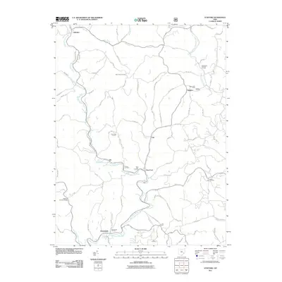 2011 Stafford2011 Print · USGSCovers Flag, including Elk, Stafford, and other nearby areas
 - 2013 Map of Stafford, 2013 Print
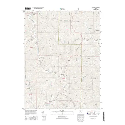 2013 Stafford2013 Print · USGSCovers Flag, including Elk, Stafford, and other nearby areas
 - 2016 Map of Stafford, 2016 Print
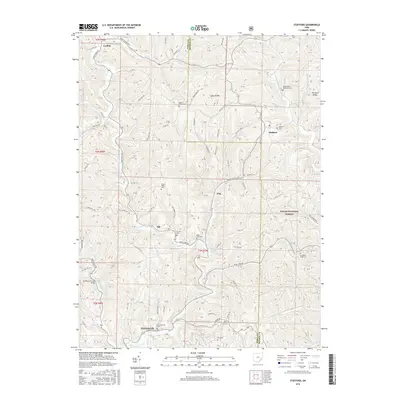 2016 Stafford2016 Print · USGSCovers Flag, including Elk, Stafford, and other nearby areas
 - 2019 Map of Stafford, 2019 Print
 2019 Stafford2019 Print · USGSCovers Flag, including Elk, Stafford, and other nearby areas
 - 2023 Map of Stafford, 2023 Print
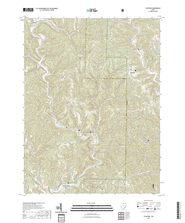 2023 Stafford2023 Print · USGSSoutheast Ohio's ridge-and-valley landscape is documented here in recent years, showing the intersection of Noble and Monroe Counties. Genealogists can locate numerous rural burial sites like Stafford Cem and Harriettsville Cem while tracing historic hamlets such as Elk and Flag.
End of results
Showing maps 1-6 of 6
Top cities near Flag
- Woodsfield historical maps
- Caldwell historical maps
- Grandview historical maps
- Malaga historical maps
- Lowell historical maps
- Elk historical maps
See more
Frequently asked questions
- What are the different types of historical maps available for Flag?
- What is the oldest map of Flag?
- Where can I purchase historical maps of Flag for my home or office?
- Where can I download high-res historical maps of Flag?
- Are there historical topographic maps available for Flag?
- Is there historical aerial imagery available for Flag?
- Where are historical maps of Flag sourced from?