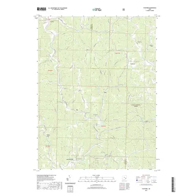
2019 Map of Stafford
USGS Topo · Published 2019About this map
Harriettsville and Stafford anchor this rural landscape in Noble and Monroe counties, where the terrain is defined by the winding course of East Fork Duck Creek and its many tributaries. The area is marked by a deep genealogical footprint, with numerous hilltop cemeteries like Southerland Methodist Cem and Mount Tabor Cem overlooking the drainage basins. A significant portion of the eastern map falls within the Wayne National Forest, showing the transition between managed timberlands and private agricultural holdings. A notable landmark for local history is the Huffman Covered Bridge located along the creek near the southern border. The settlement pattern follows the ridges and valley floors, connected by a network of township roads and county highways that link smaller locales such as Elk and Flag.
Find a feature on this map
76 named features on this map. Tap any name to fly to it.
Don’t see what you’re looking for? This feature index may not catch every label — zoom into the map to look around manually.
Map Details
Editions of this 2019 Stafford Map
This is the sole edition of this map. No revisions or reprints were ever made.
Other maps of this area

1903 · Macksburg
USGS Topo · 1:62,500

1905 · New Matamoras
USGS Topo · 1:62,500

1905 · Woodsfield
USGS Topo · 1:62,500

1905 · Macksburg
USGS Topo · 1:62,500

1909 · Summerfield
USGS Topo · 1:62,500

1911 · Summerfield
USGS Topo · 1:62,500

1924 · New Matamoras
USGS Topo · 1:62,500

1926 · New Matamoras
USGS Topo · 1:62,500

1949 · Clarksburg
USGS Topo · 1:250,000

1956 · Clarksburg
USGS Topo · 1:250,000