Old Maps of Oakwood, Ohio for Academic Research
Study the evolution of Oakwood with 16 high-resolution historic maps. Whether you're teaching, researching, or modeling changes in land use, these maps provide essential visual documentation of urban, environmental, and geographic change.
- Analyze long-term change: Track patterns in development, transportation, and natural features.
- Ideal for environmental or urban studies: Support academic projects with primary historical map data.
- Use in the classroom or lab: Educators and researchers rely on these maps to bring historical context to life.
These maps are a powerful tool for teaching, research, and visualizing how Oakwood has changed over the decades.
Oakwood, OH maps
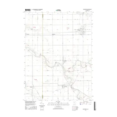
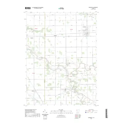
(16)- 1909 Map of Continental, 1943 Print
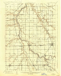 1909 Continental1943 Print · USGSNorthwest Ohio at the start of the twentieth century shows a landscape transitioning from the canal era to a rail-heavy industrial economy. Genealogists can trace family roots in Continental, Oakwood, and Cloverdale, or locate the path of the Miami and Erie Canal alongside the Auglaize River.
 - 1953 Map of Fort Wayne, 1963 Print
 1953 Fort Wayne1963 Print · USGSNortheast Indiana and its neighboring borderlands in Michigan and Ohio appear here during a peak era of rail and road expansion. Researchers can trace the massive rail networks of the Nickel Plate Road and Wabash or locate lakeside landmarks like Lake Wawasee and Clear Lake.4 unique versions available
 - 1956 Map of Fort Wayne
 1956 Fort Wayne1956 Print · USGSThe tri-state borderlands of Indiana, Michigan, and Ohio are captured here in the mid-fifties, centered on the growing industrial hub of Fort Wayne. Researchers can trace the heavy rail lines of the New York Central and Pennsylvania alongside prominent water features like Lake Wawasee and the Maumee River.2 unique versions available
 - 1960 Map of Oakwood, 1961 Print
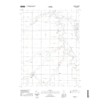
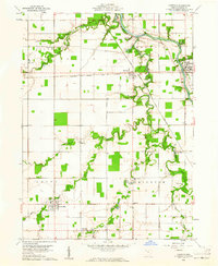 1960 Oakwood1961 Print · USGSPaulding County is seen here in the early 1960s, defined by the winding Auglaize River and small railroad towns. Genealogists can trace family names at Kingery Cem or Faught Cem and locate landmarks like Fort Brown.2 unique versions available
 - 1960 Map of Continental, 1961 Print
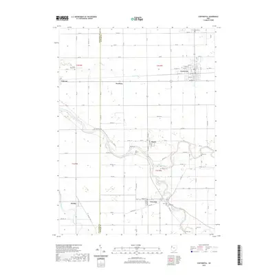
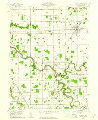 1960 Continental1961 Print · USGSContinental and the surrounding Putnam County townships are documented here during the early sixties as the rail and river networks shaped local life. Researchers can locate the Miami and Erie Canal (Abandoned), trace family names at Dickey Cemetery, and see the rail junctions at Hartsburg.4 unique versions available
 - 1986 Map of Defiance, 1992 Print
 1986 Defiance1992 Print · USGSNorthwest Ohio and Eastern Indiana appear in the late eighties as a landscape shaped by significant river confluences and rail corridors. Researchers can trace the layout of local towns and landmarks like Defiance College, Forest Hill Cem, and the path of the Norfolk and Western RR.
 - 2010 Map of Oakwood, 2010 Print
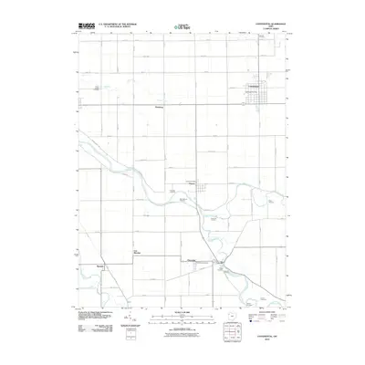
 2010 Oakwood2010 Print · USGSCovers Oakwood, including Grover Hill, Melrose, and other nearby areas
 - 2010 Map of Continental, 2010 Print
 2010 Continental2010 Print · USGSCovers Oakwood, including Continental, Dupont, and other nearby areas
 - 2013 Map of Continental, 2013 Print
 2013 Continental2013 Print · USGSCovers Oakwood, including Continental, Dupont, and other nearby areas
 - 2013 Map of Oakwood, 2013 Print
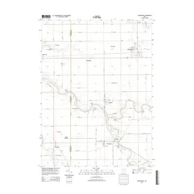
 2013 Oakwood2013 Print · USGSCovers Oakwood, including Grover Hill, Melrose, and other nearby areas
 - 2016 Map of Oakwood, 2016 Print
 2016 Oakwood2016 Print · USGSCovers Oakwood, including Grover Hill, Melrose, and other nearby areas
 - 2016 Map of Continental, 2016 Print
 2016 Continental2016 Print · USGSCovers Oakwood, including Continental, Dupont, and other nearby areas
 - 2019 Map of Oakwood, 2019 Print
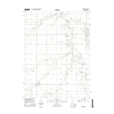
 2019 Oakwood2019 Print · USGSCovers Oakwood, including Grover Hill, Melrose, and other nearby areas
 - 2019 Map of Continental, 2019 Print
 2019 Continental2019 Print · USGSCovers Oakwood, including Continental, Dupont, and other nearby areas
 - 2023 Map of Oakwood, 2023 Print
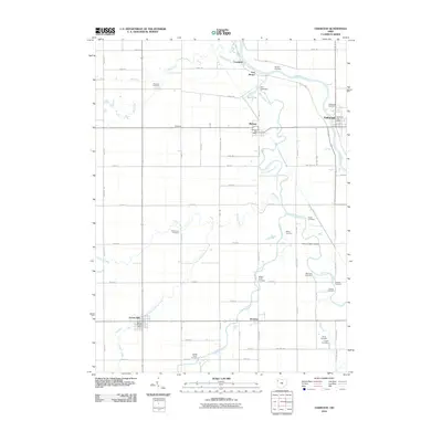
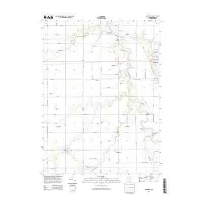
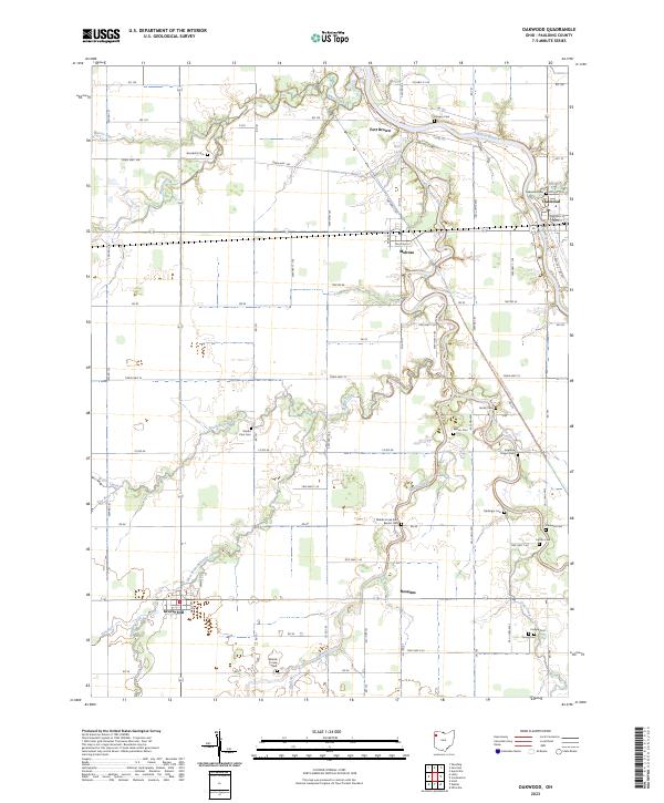 2023 Oakwood2023 Print · USGSPaulding County’s agricultural heartland is documented here in the early twenty-first century, centered on the Auglaize River and its winding tributaries. Researchers can trace local heritage through a dense network of burial sites like Kingery Cem, Mellinger Cem, and the historic Fort Brown site.
 - 2023 Map of Continental, 2023 Print
 2023 Continental2023 Print · USGSNorthwestern Ohio's river systems converge in this Putnam County landscape during the early 2020s. Researchers can trace family history through a high density of rural burial grounds, including Fairview Cem, Sigler Cem, and Cascade Cem.
End of results
Showing maps 1-16 of 16
Top cities near Oakwood
- Defiance historical maps
- Van Wert historical maps
- Paulding historical maps
- Continental historical maps
- Kalida historical maps
- Ottoville historical maps
See more
Frequently asked questions
- What are the different types of historical maps available for Oakwood?
- What is the oldest map of Oakwood?
- Where can I purchase historical maps of Oakwood for my home or office?
- Where can I download high-res historical maps of Oakwood?
- Are there historical topographic maps available for Oakwood?
- Is there historical aerial imagery available for Oakwood?
- Where are historical maps of Oakwood sourced from?