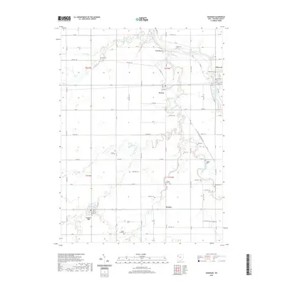
2019 Map of Oakwood
USGS Topo · Published 2019About this map
The Auglaize River and Little Auglaize River dominate this Paulding County landscape, converging near the historic site of Fort Brown. This 2019 survey illustrates the dense agricultural grid of northwestern Ohio, punctuated by small rural communities like Oakwood, Melrose, and Grover Hill. For those researching local history, the map provides an exceptionally high concentration of family and community burial sites, from the Kingery Cem in the north to the Young Cem and Fought Cem in the south.
Find a feature on this map
62 named features on this map. Tap any name to fly to it.
Don’t see what you’re looking for? This feature index may not catch every label — zoom into the map to look around manually.
Map Details
Editions of this 2019 Oakwood Map
This is the sole edition of this map. No revisions or reprints were ever made.
Other maps of this area

1909 · Continental
USGS Topo · 1:62,500

1911 · Delphos
USGS Topo · 1:62,500

1914 · Van Wert
USGS Topo · 1:62,500

1914 · Paulding
USGS Topo · 1:62,500

1944 · Delphos
USGS Topo · 1:62,500

1944 · Van Wert
USGS Topo · 1:62,500

1944 · Paulding
USGS Topo · 1:62,500

1953 · Fort Wayne
USGS Topo · 1:250,000

1953 · Muncie
USGS Topo · 1:250,000

1956 · Muncie
USGS Topo · 1:250,000