2000s (21st Century) Maps of Scioto County, Ohio
Explore 121 historic maps of Scioto County from the 2000s (21st Century). These maps offer a rare glimpse into what life looked like during the 2000s — showing old roads, neighborhoods, homes, and landmarks that have changed or disappeared over time.
Whether you're researching your family's past, planning a metal detecting trip, or studying how Scioto County's landscape evolved across the 2000s, these high-resolution maps are a powerful tool for exploring the history of this region.
- Focus on a specific era: All maps on this page are from the 2000s, giving you a focused view of this time period.
- See what’s changed: Compare century-old streets, trails, and buildings to today's modern landscape using overlays and satellite layers.
- Research with precision: Use these maps for genealogy, historical research, land use analysis, or educational projects.
- View, download, or print: Maps are fully viewable online in high resolution, and can be downloaded or printed for your own records.
Start exploring Scioto County's history through authentic maps from the 2000s. This is your window into the past.
Scioto County, OH maps
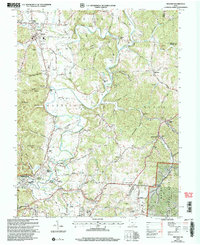
(121)- 2002 Map of Pedro, 2006 Print
 2002 Pedro2006 Print · USGSLawrence County at the turn of the millennium shows a landscape shaped by natural resource extraction within the Wayne National Forest. Genealogists and historians can trace the foundations of local industry and community life through sites like the clay pits at Superior, the Pedro Sch, and Lawco Lake.
 - 2002 Map of South Webster, 2006 Print
 2002 South Webster2006 Print · USGSSouth Webster and its surrounding mining hills are documented in this 2002 revision. Researchers can trace family history at Bloom Switch Cem or follow the B & O Railroad past old industrial sites like Jackson Furnace and Firebrick.
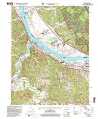
 - 2002 Map of Wheelersburg, 2006 Print
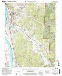 2002 Wheelersburg2006 Print · USGSThe Ohio River borderlands at the turn of the millennium show a landscape where industrial transit and national forest land meet. Genealogists and historians can trace family locations near Floral Hills Memory Gardens, Old Burch Cem, and the Grays Branch Sch.
 - 2002 Map of Ironton, 2006 Print
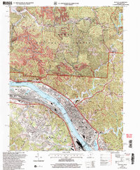 2002 Ironton2006 Print · USGSIronton and its neighboring river towns sit at a busy industrial crossroads along the Kentucky and Ohio border at the start of the new millennium. Traces of early iron heritage at Vesuvius Furnace (Ruins) appear alongside active Strip Mines and local landmarks like Woodland Cemetery.
 - 2002 Map of Minford, 2006 Print
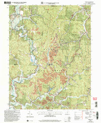
 2002 Minford2006 Print · USGSThe Scioto River valley at the turn of the millennium reveals a landscape of old industrial hamlets and family farmsteads. Researchers can trace ancestral sites like Mule Town and Scioto Furnace or locate family plots at Batterson Cem and Monroe Cem.
 - 2002 Map of Greenup, 2006 Print
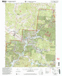
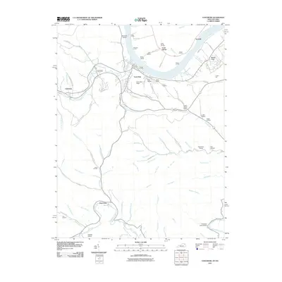
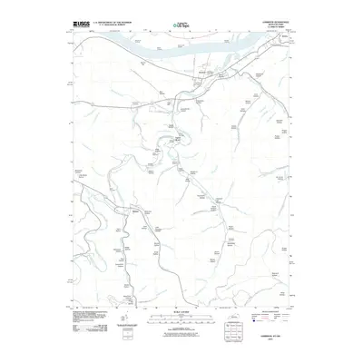
 2002 Greenup2006 Print · USGSThe Ohio River valley at the turn of the millennium shows a landscape defined by heavy rail, river industry, and deep-hollow settlements. Genealogists can trace family names at Gilruth-Davisson Cem or locate old rail hubs like Oliver Station and Raceland Junction.
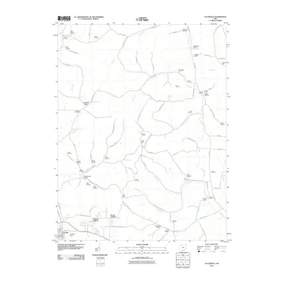
 - 2010 Map of Otway, 2010 Print
 2010 Otway2010 Print · USGSCovers Scioto County, including Otway, United States, and other nearby areas
 - 2010 Map of Buena Vista, 2010 Print
 2010 Buena Vista2010 Print · USGSCovers Scioto County, including Buena Vista, Rome, and other nearby areas
 - 2010 Map of Rarden, 2010 Print
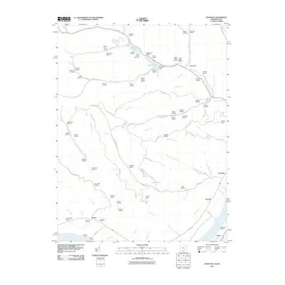
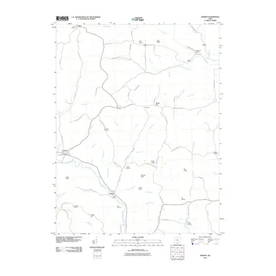 2010 Rarden2010 Print · USGSCovers Scioto County, including Rarden, Pike County, and other nearby areas
 - 2010 Map of Vanceburg, 2010 Print
 2010 Vanceburg2010 Print · USGSCovers Scioto County, including Vanceburg, Clarksburg, and other nearby areas
 - 2010 Map of Blue Creek, 2010 Print
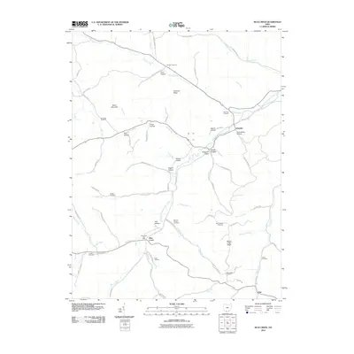 2010 Blue Creek2010 Print · USGSCovers Scioto County, including Wamsley, Blue Creek, and other nearby areas
 - 2010 Map of Garrison, 2010 Print
 2010 Garrison2010 Print · USGSCovers Scioto County, including Tannery, Quincy, and other nearby areas
 - 2010 Map of Pond Run, 2010 Print
 2010 Pond Run2010 Print · USGSCovers Scioto County, including Lewis County, United States, and other nearby areas
 - 2010 Map of West Portsmouth, 2010 Print
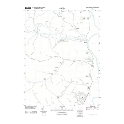 2010 West Portsmouth2010 Print · USGSCovers Scioto County, including Coles Park, Lucasville, and other nearby areas
 - 2010 Map of Wakefield, 2010 Print
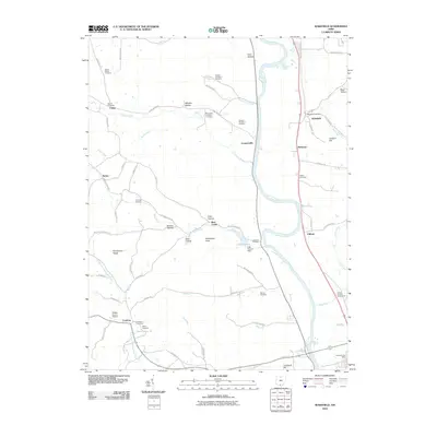 2010 Wakefield2010 Print · USGSCovers Scioto County, including Camp, Wakefield, and other nearby areas
 - 2010 Map of Jaybird, 2010 Print
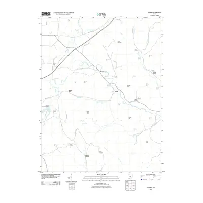 2010 Jaybird2010 Print · USGSCovers Scioto County, including Mineral Springs, Adams County, and other nearby areas
 - 2010 Map of Friendship, 2010 Print
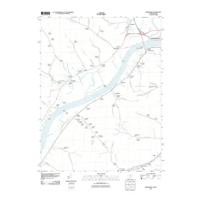 2010 Friendship2010 Print · USGSCovers Scioto County, including Portsmouth, Friendship, and other nearby areas
 - 2010 Map of Latham, 2010 Print
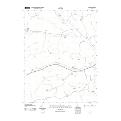 2010 Latham2010 Print · USGSCovers Scioto County, including Hatch, Latham, and other nearby areas
 - 2010 Map of Byington, 2010 Print
 2010 Byington2010 Print · USGSCovers Scioto County, including Newfain, Byington, and other nearby areas
 - 2010 Map of Portsmouth, 2010 Print
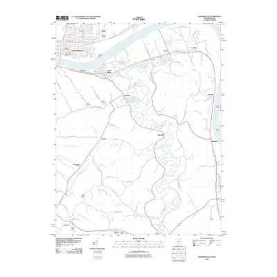 2010 Portsmouth2010 Print · USGSCovers Scioto County, including Portsmouth, Grays Branch, and other nearby areas
 - 2010 Map of Lucasville, 2010 Print
 2010 Lucasville2010 Print · USGSCovers Scioto County, including Lucasville, Pike County, and other nearby areas
 - 2010 Map of New Boston, 2010 Print
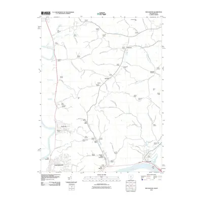 2010 New Boston2010 Print · USGSCovers Scioto County, including Portsmouth, New Boston, and other nearby areas
 - 2010 Map of Stockdale, 2010 Print
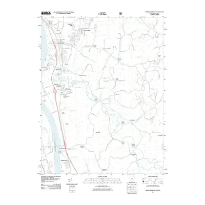
 2010 Stockdale2010 Print · USGSCovers Scioto County, including Minford, Stockdale, and other nearby areas
 - 2011 Map of Minford, 2011 Print
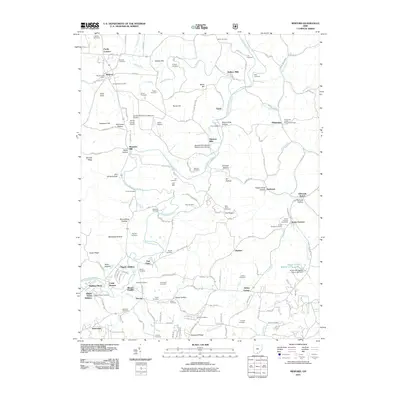 2011 Minford2011 Print · USGSCovers Scioto County, including Portsmouth, Pinkerman, and other nearby areas
 - 2011 Map of Wheelersburg, 2011 Print
 2011 Wheelersburg2011 Print · USGSCovers Scioto County, including Portsmouth, Highland Park, and other nearby areas
Showing maps 1-25 of 121
Top cities of Scioto County
- Portsmouth historical maps
- New Boston historical maps
- South Webster historical maps
- Rarden historical maps
- Otway historical maps
Frequently asked questions
- What are the different types of historical maps available for Scioto County?
- What is the oldest map of Scioto County?
- Where can I purchase historical maps of Scioto County for my home or office?
- Where can I download high-res historical maps of Scioto County?
- Are there historical topographic maps available for Scioto County?
- Is there historical aerial imagery available for Scioto County?
- Where are historical maps of Scioto County sourced from?