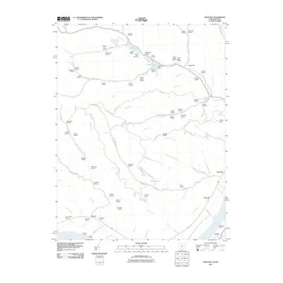
2010 Map of Pond Run
USGS Topo · Published 2010About this map
The Ohio River shoreline and the deep valleys of Shawnee State Park define this 2010 topographic record of the borderlands between Scioto County and Kentucky. The landscape is deeply incised by a network of family-named hollows, including Cotton Eye Hollow, Hog Thief Hollow, and Dead Man Hollow, suggesting a long history of local lore and early settlement. Along the river, small landings such as Wyckoffs Landing and Givens Landing near McGaw point to the historic importance of the river economy, while inland, the Pond Run Lookout Tower stands as a sentinel over the dense forest.
Find a feature on this map
108 named features on this map. Tap any name to fly to it.
Don’t see what you’re looking for? This feature index may not catch every label — zoom into the map to look around manually.
Map Details
Editions of this 2010 Pond Run Map
This is the sole edition of this map. No revisions or reprints were ever made.
Other maps of this area

1915 · Garrison
USGS Topo · 1:62,500

1915 · Otway
USGS Topo · 1:62,500

1916 · Peebles
USGS Topo · 1:62,500

1917 · Otway
USGS Topo · 1:62,500

1918 · Garrison
USGS Topo · 1:62,500

1918 · Peebles
USGS Topo · 1:62,500

1919 · Vanceburg
USGS Topo · 1:62,500

1949 · Pond Run
USGS Topo · 1:24,000

1949 · Vanceburg
USGS Topo · 1:62,500

1949 · Garrison
USGS Topo · 1:24,000