2000s (21st Century) Maps of Seneca County, Ohio
Explore 120 historic maps of Seneca County from the 2000s (21st Century). These maps offer a rare glimpse into what life looked like during the 2000s — showing old roads, neighborhoods, homes, and landmarks that have changed or disappeared over time.
Whether you're researching your family's past, planning a metal detecting trip, or studying how Seneca County's landscape evolved across the 2000s, these high-resolution maps are a powerful tool for exploring the history of this region.
- Focus on a specific era: All maps on this page are from the 2000s, giving you a focused view of this time period.
- See what’s changed: Compare century-old streets, trails, and buildings to today's modern landscape using overlays and satellite layers.
- Research with precision: Use these maps for genealogy, historical research, land use analysis, or educational projects.
- View, download, or print: Maps are fully viewable online in high resolution, and can be downloaded or printed for your own records.
Start exploring Seneca County's history through authentic maps from the 2000s. This is your window into the past.
Seneca County, OH maps
(120)- 2010 Map of Tiffin North, 2010 Print
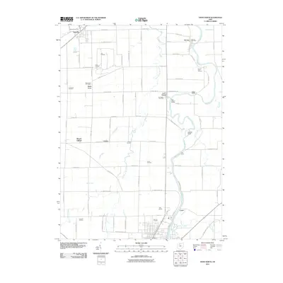 2010 Tiffin North2010 Print · USGSNorth of Tiffin during the early twenty-first century, the Sandusky River corridor remains a landscape of historic forts and family farms. Researchers can trace ancestral plots at Hite Cemetery or explore the riverfront near Old Fort and Abbotts Island.
 - 2010 Map of Bloomville, 2010 Print
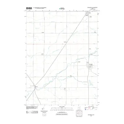 2010 Bloomville2010 Print · USGSSeneca County's rural landscape at the start of the 2010s reveals a deeply rooted network of farming communities and crossroads. Genealogists and local historians can trace family ties through numerous sites like Scipio Township Cemetery, Bloomville, and Melmore.
 - 2010 Map of Fremont West, 2010 Print
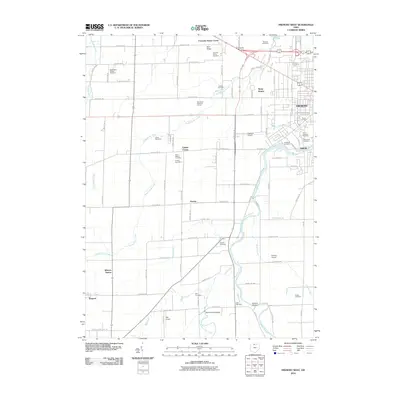 2010 Fremont West2010 Print · USGSNorthwestern Ohio's agricultural and river landscape is captured here in the early twenty-first century as the city of Fremont borders the western rural expanse. Genealogists and local historians can trace family sites at Fourmile House Cemetery, locate the Mull Covered Bridge, or find old rail-stop locations like Winters Station.
 - 2010 Map of Watson, 2010 Print
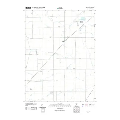 2010 Watson2010 Print · USGSNorthwestern Ohio farmland near Lowell was documented in detail during the early twenty-first century. Genealogists can trace numerous local burial sites like McMeen Cemetery and Saint Jacobs Cemetery alongside the Beaver Creek Upground Reservoir.
 - 2010 Map of Fostoria, 2010 Print
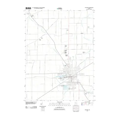 2010 Fostoria2010 Print · USGSFostoria sits at a crossroads of industry and agriculture during the early twenty-first century, defined by its unique upground reservoir system. Researchers can locate family heritage at Saint Wendelin Cemetery or explore small settlements like West Millgrove and Longley.
 - 2010 Map of New Riegel, 2010 Print
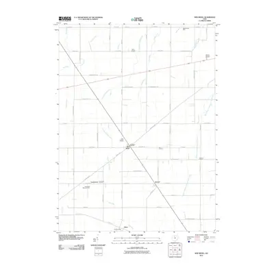 2010 New Riegel2010 Print · USGSSeneca County's agricultural heartland is documented here in the early twenty-first century, showcasing a landscape of family farms and rural crossroads. Researchers can trace local lineage through several burial sites including Saint Boniface and Jerusalem Cemetery, or locate the New Riegel Post Office and Adrian Post Office.
 - 2010 Map of Bascom, 2010 Print
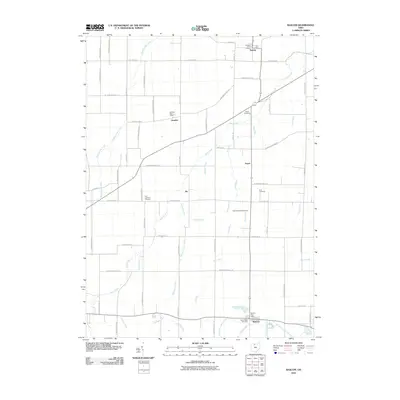 2010 Bascom2010 Print · USGSNorthwest Ohio's agricultural heartland is captured here at the start of the millennium, centered on the settlements of Bascom and Kansas. Researchers can trace local heritage through numerous burial sites like Zion Lutheran Cemetery and the rural drainage of Wolf Creek.
 - 2010 Map of Tiffin South, 2010 Print
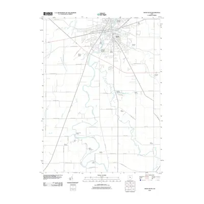 2010 Tiffin South2010 Print · USGSTiffin and the surrounding Seneca County countryside are mapped here during the early twenty-first century, documenting a landscape of river-side industry and deep-rooted cemeteries. Genealogists can trace family plots at Greenlawn or Shock Cemetery, while researchers can locate the Tiffin Water Works and Mohawk Lake Dam.
 - 2010 Map of Helena, 2010 Print
 2010 Helena2010 Print · USGSSandusky County agricultural lands and rural hamlets are captured here in the early twenty-first century. Researchers can trace family history through several local landmarks including Saint Marys Cemetery, Metzgar Cemetery, and the Helena Post Office.
 - 2010 Map of Fremont East, 2010 Print
 2010 Fremont East2010 Print · USGSFremont and the surrounding Sandusky County countryside are captured here in the early twenty-first century, showing a mix of historic institutional grounds and rural townships. Trace local family history through Whittlesey Cemetery, the Sandusky County Home, and the quiet crossroads at Erlin.
 - 2010 Map of Lykens, 2010 Print
 2010 Lykens2010 Print · USGSCrawford County at the start of the 2010s reveals a persistent rural landscape defined by family history and small hamlets. Genealogists can trace local heritage through numerous sites like Texas Township Cemetery, Pipetown Cemetery, and the settlement of Broken Sword.
 - 2010 Map of Bellevue, 2010 Print
 2010 Bellevue2010 Print · USGSBellevue and its surrounding rural townships are shown here in the early twenty-first century, centered on an intricate network of reservoirs and crossroads. Genealogists can trace family locations through numerous sites like Tew Cemetery, Strongs Ridge Cemetery, and Sand Hill.
 - 2010 Map of Sycamore, 2010 Print
 2010 Sycamore2010 Print · USGSWyandot County's agricultural heartland is documented here in the early twenty-first century, centered on the community of Sycamore. Genealogists and historians can trace numerous family burial sites, including the Bibler Cemetery, Stalter Cemetery, and Mexico Cemetery.
 - 2010 Map of Chatfield, 2010 Print
 2010 Chatfield2010 Print · USGSCrawford County's rural townships are shown here in the mid-2000s, characterized by a dense network of family-named burial sites and small crossroads hamlets. Researchers can locate dozens of pioneer landmarks like Lust Cemetery, Windfall Cemetery, and the Carrothers Post Office.
 - 2010 Map of Clyde, 2010 Print
 2010 Clyde2010 Print · USGSClyde and its Sandusky County surroundings are captured here at the start of the 2010s. Genealogists and local historians can locate numerous burial sites such as McPherson Cemetery and York Free Chapel Cemetery, along with rural settlements like Colby.
 - 2010 Map of McCutchenville, 2010 Print
 2010 McCutchenville2010 Print · USGSThe rural landscape of Wyandot County is mapped here in the early twenty-first century, centered on the crossroads of McCutchenville. Family historians can trace local roots through numerous sites like the Lutheran Cemetery, Infirmary Cemetery, and the McCutchenville Post Office.
 - 2010 Map of Flat Rock, 2010 Print
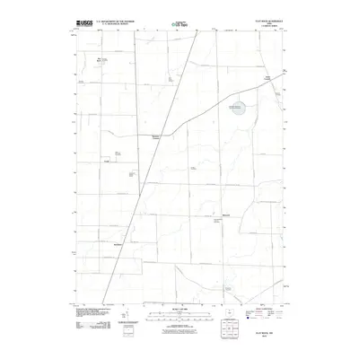 2010 Flat Rock2010 Print · USGSSherman Township in the early twenty-first century remains a landscape of tightly-knit rural hamlets and deep-rooted family history. Genealogists can trace local lineages through numerous burial grounds like Boughton Cemetery and landmarks such as the Sorrowfull Mother Shrine.
 - 2010 Map of Attica, 2010 Print
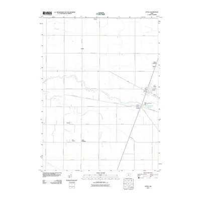 2010 Attica2010 Print · USGSSeneca County at the start of the twenty-first century reveals a landscape defined by its rural intersections and legacy of faith. Genealogists can trace family lines through Saint Stephens Cemetery, Armstrong Cemetery, and the Mennonite Cemetery.
 - 2010 Map of New Washington, 2010 Print
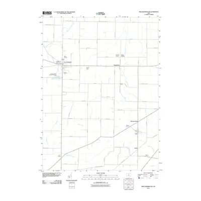 2010 New Washington2010 Print · USGSCrawford County at the start of the 2010s remains a landscape defined by its agricultural roots and quiet crossroads communities. Genealogists can trace family histories across numerous local burial grounds like Oakland Cemetery, Goodwill Cemetery, and Dickson Cemetery.
 - 2010 Map of Alvada, 2010 Print
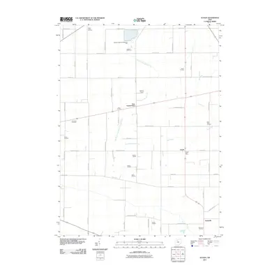 2010 Alvada2010 Print · USGSHancock County farmland is captured here in the early 2000s, showing a landscape defined by small crossroads communities and family legacies. Genealogists can trace local history through numerous burial sites like Union Cemetery and Saint Peters Cemetery near West Independence.
 - 2010 Map of Bradner, 2010 Print
 2010 Bradner2010 Print · USGSIn the flatlands of Wood County, Ohio, this 2010 survey shows the agricultural grid and creek systems of the early twenty-first century. Researchers can locate family burial grounds like Pember Farm Cemetery and trace the paths of Sugar Creek through towns like Risingsun.
 - 2010 Map of Centerton, 2010 Print
 2010 Centerton2010 Print · USGSNorth-central Ohio farmland is captured here in the early twenty-first century, showing the small settlements of Centerton and Omar. Genealogists can locate several burial grounds including Swamp Cemetery, Bethel Cemetery, and the Bullhead Cemetery.
 - 2010 Map of Fireside, 2010 Print
 2010 Fireside2010 Print · USGSThompson Township in the early twenty-first century remains a deeply rooted rural landscape of family farms and historic burial sites. Genealogists and local historians can trace the geography of community life through labels like West Lodi, Adams Lutheran Cemetery, and the Bandit Field Airdrome.
 - 2010 Map of Carey, 2010 Print
 2010 Carey2010 Print · USGSCrawford Township and the village of Carey appear at the start of the twenty-first century, showing a landscape of family farms and rural road networks. Researchers can locate numerous local burial sites including Wentz Cemetery, Cole Cemetery, and Saint Marys Cemetery.
 - 2013 Map of Lykens, 2013 Print
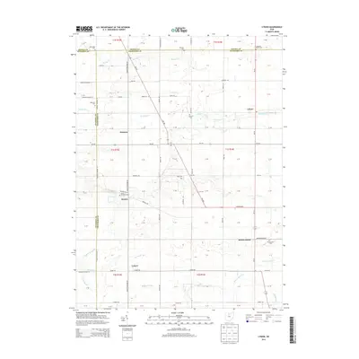 2013 Lykens2013 Print · USGSCovers Seneca County, including Lykens, Eden Township, and other nearby areas
Showing maps 1-25 of 120
Top cities of Seneca County
Frequently asked questions
- What are the different types of historical maps available for Seneca County?
- What is the oldest map of Seneca County?
- Where can I purchase historical maps of Seneca County for my home or office?
- Where can I download high-res historical maps of Seneca County?
- Are there historical topographic maps available for Seneca County?
- Is there historical aerial imagery available for Seneca County?
- Where are historical maps of Seneca County sourced from?