2010s Maps of Williams County, Ohio
Explore 56 historic maps of Williams County from the 2010s. These maps offer a rare glimpse into what life looked like during the 2010s — showing old roads, neighborhoods, homes, and landmarks that have changed or disappeared over time.
Whether you're researching your family's past, planning a metal detecting trip, or studying how Williams County's landscape evolved across the 2010s, these high-resolution maps are a powerful tool for exploring the history of this region.
- Focus on a specific era: All maps on this page are from the 2010s, giving you a focused view of this time period.
- See what’s changed: Compare century-old streets, trails, and buildings to today's modern landscape using overlays and satellite layers.
- Research with precision: Use these maps for genealogy, historical research, land use analysis, or educational projects.
- View, download, or print: Maps are fully viewable online in high resolution, and can be downloaded or printed for your own records.
Start exploring Williams County's history through authentic maps from the 2010s. This is your window into the past.
Williams County, OH maps
(56)- 2010 Map of Edgerton, 2010 Print
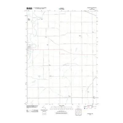 2010 Edgerton2010 Print · USGSThe village of Edgerton and its surrounding townships are shown here during the early twenty-first century as the Saint Joseph River cuts through the landscape. Researchers can trace family history through numerous sites including Thomas Cemetery, Denmark Bridge, and the Farmer Post Office.
 - 2010 Map of Blakeslee, 2010 Print
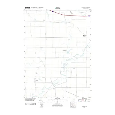 2010 Blakeslee2010 Print · USGSWilliams County farmland comes into focus in the early 2000s, centered on the village of Blakeslee and the winding Saint Joseph River. Researchers can trace local heritage through numerous burial sites including West Buffalo Cemetery and Hepker Cemetery.
 - 2010 Map of Butler East, 2010 Print
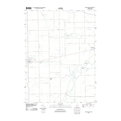 2010 Butler East2010 Print · USGSButler and the surrounding farm country are mapped here during a period of modern agricultural stability. Genealogists can locate family landmarks like Farnham Cemetery or Clarksville Cemetery and trace rural settlements such as Artic and Stafford Center.
 - 2010 Map of Archbold, 2010 Print
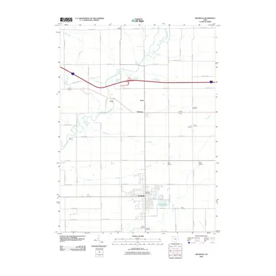 2010 Archbold2010 Print · USGSFulton County, Ohio, is captured here in the early twenty-first century, showing the enduring agricultural character and small-town layout of the region. Genealogists can locate family burial sites like Johnson and Lauber Hill Cemetery, while tracing the waters of Tiffin River and Brush Creek.
 - 2010 Map of West Unity, 2010 Print
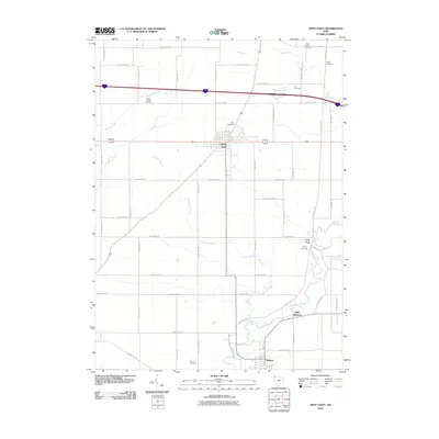 2010 West Unity2010 Print · USGSNorthwestern Ohio's agricultural heartland is documented here in the early twenty-first century, centered on the crossroads at West Unity. Genealogists can trace family heritage through numerous rural burial sites like Quaker Cemetery, Ely Cemetery, and French Cemetery.
 - 2010 Map of Edon, 2010 Print
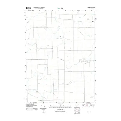 2010 Edon2010 Print · USGSThe borderlands of Ohio and Indiana are captured here in the early twenty-first century as agricultural traditions remain central to the landscape. Genealogists and local historians can trace rural family sites like Ligett Cemetery and Eddy Cemetery or locate old crossings at Shaffer Bridge and Anspaugh Bridge.
 - 2010 Map of Montpelier, 2010 Print
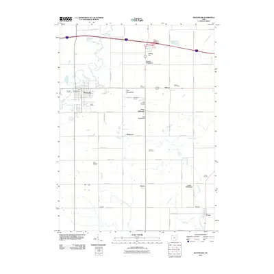 2010 Montpelier2010 Print · USGSWilliams County township life and the growth of Montpelier are documented in this detailed 2010 survey. Researchers can trace ancestral sites at Riverside Cemetery or Lick Creek Cemetery and explore settlements like Holiday City.
 - 2010 Map of Evansport, 2010 Print
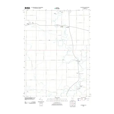 2010 Evansport2010 Print · USGSWilliams County's rural river valley is captured here in the early twenty-first century as agricultural traditions meet modern subdivisions. Genealogists can trace family sites at Old Saint Johns Methodist Cemetery or locate the Evansport Post Office near the Tiffin River.
 - 2010 Map of Ridgeville Corners, 2010 Print
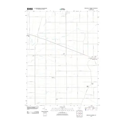 2010 Ridgeville Corners2010 Print · USGSRidgeville Corners and the surrounding farmsteads are documented here as they appeared a decade ago in this northwestern Ohio landscape. Researchers can locate several historic family and church burial sites, including Bethlehem Lutheran Cemetery and Zion Cemetery.
 - 2010 Map of Bryan, 2010 Print
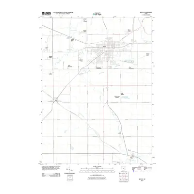 2010 Bryan2010 Print · USGSBryan and its surrounding townships appear in detail during the early 21st century, showing a mix of established neighborhoods and rural cemetery sites. Trace local history through landmarks like Williams Center, the Ney Cemetery, and the winding banks of Lick Creek.
 - 2011 Map of Pioneer, 2011 Print
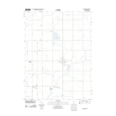 2011 Pioneer2011 Print · USGSMadison Township at the start of the 2010s reveals a structured landscape of family cemeteries and river junctions. Genealogists can trace local roots at Alfred Cemetery or Cogswell Cemetery, while exploring settlements like Jim Town and Grimms Subdivision.
 - 2011 Map of Alvordton, 2011 Print
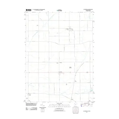 2011 Alvordton2011 Print · USGSThe Michigan-Ohio borderlands come into focus in the early 2010s, showing a well-established network of rural townships and family farms. Genealogists can locate several historic burial grounds including Waldron Cemetery and Kunkle Cemetery near the banks of the East Branch Saint Joseph River.
 - 2011 Map of Nettle Lake, 2011 Print
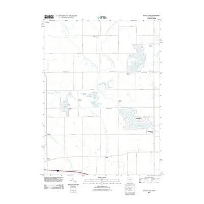 2011 Nettle Lake2011 Print · USGSThis rural pocket of Williams County where Ohio meets Michigan is captured here in the early twenty-first century. Genealogists can locate family burial grounds like Robinson Family Cemetery or Cellars Cemetery and trace the shores of Nettle Lake and Lake Seneca.
 - 2011 Map of Clear Lake, 2011 Print
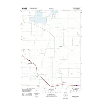 2011 Clear Lake2011 Print · USGSThe tri-state border country where Ohio, Indiana, and Michigan meet is documented here in the early twenty-first century. Researchers can trace rural lineages through sites like Teeters Cemetery and Columbia Cemetery or locate landmarks like Stallman Bridge and the Steuben County Speedway.
 - 2013 Map of Clear Lake, 2013 Print
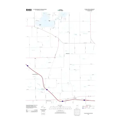 2013 Clear Lake2013 Print · USGSThe tri-state border region of Ohio, Indiana, and Michigan is captured here in the early twenty-first century as a landscape of glacial lakes and major transit corridors. Researchers can trace rural settlements like Billingstown and York alongside family landmarks like Stallman Bridge.
 - 2013 Map of Butler East, 2013 Print
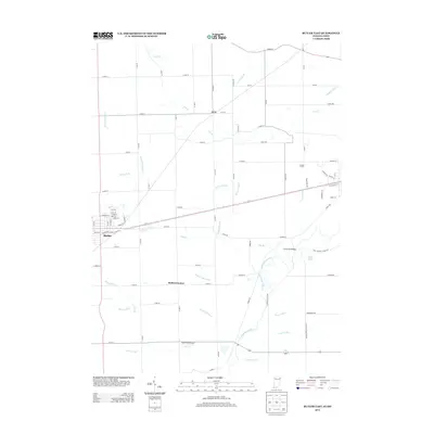 2013 Butler East2013 Print · USGSThe Indiana-Ohio borderlands come into focus in the early twenty-first century, showing the town of Butler and the rural reaches of the Saint Joseph River. Genealogists and local historians can trace rural settlements like Artic and Stafford Center or find family landmarks such as Goebel Farms.
 - 2013 Map of Pioneer, 2013 Print
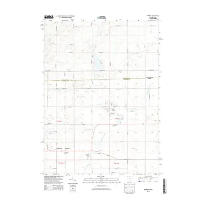 2013 Pioneer2013 Print · USGSThe village of Pioneer and the surrounding Williams County farm country are shown here in the early twenty-first century. Genealogists and local historians can locate many rural burial sites such as Floral Grove Cem and traces of small communities like Jim Town and Greyhound.
 - 2013 Map of Bryan, 2013 Print
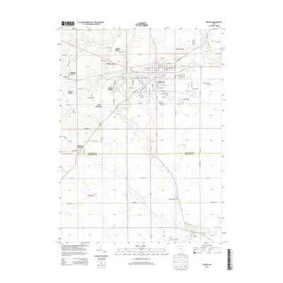 2013 Bryan2013 Print · USGSWilliams County at the start of the 2010s reveals a landscape of growing residential hubs like Rachel Heights alongside long-standing rural crossroads. Genealogists can locate specific burial sites at Fountain Grove Cemetery, Brown Cemetery, and Ney Cemetery.
 - 2013 Map of Nettle Lake, 2013 Print
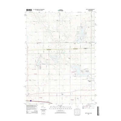 2013 Nettle Lake2013 Print · USGSThe Michigan-Ohio borderlands come into focus in this modern survey, capturing the rural intersection of Hillsdale and Williams counties. Local researchers can trace family landmarks like the Robinson Family Cem or the settlements at Nettle Lake and Bridgewater Center.
 - 2013 Map of Alvordton, 2013 Print
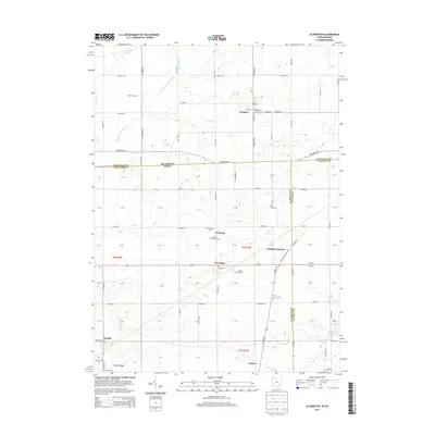 2013 Alvordton2013 Print · USGSThe Michigan-Ohio border comes into focus in this recent survey of the rural landscape connecting Waldron and Alvordton. Researchers can locate several historic burial sites like Olive Branch Cem and family-named landmarks such as Kunkle Family Farms.
 - 2013 Map of Edon, 2013 Print
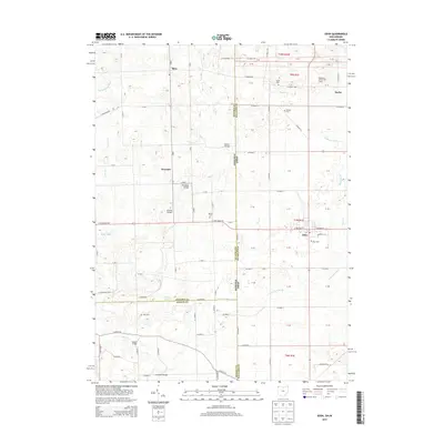 2013 Edon2013 Print · USGSThe tri-state borderlands of Ohio and Indiana are captured here in the early twenty-first century, showing the rural landscape around Edon. Genealogists and historians can locate family landmarks like Bethel Cemetery or trace crossings at Anspaugh Bridge and Enfield Bridge.
 - 2013 Map of Archbold, 2013 Print
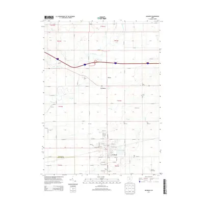 2013 Archbold2013 Print · USGSArchbold and its surrounding farmstead landscape are captured here in the early twenty-first century. Genealogists and local historians can locate numerous family burial grounds and agricultural landmarks, including Lauber Hill Cemetery, Waldelch Farm, and Beck Dairy.
 - 2013 Map of Ridgeville Corners, 2013 Print
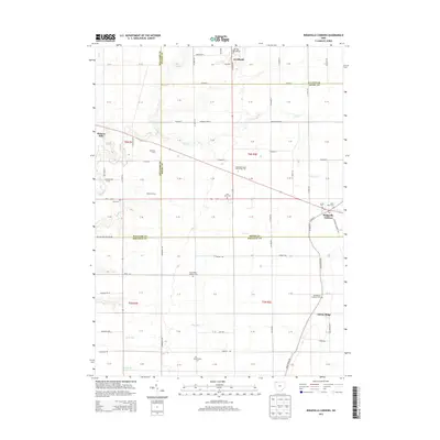 2013 Ridgeville Corners2013 Print · USGSThe rural agricultural landscapes of Fulton and Henry counties are captured here in the early twenty-first century. Genealogists can locate several local burial grounds including Saint Marks Lutheran Cemetery and Domersville Cemetery.
 - 2013 Map of West Unity, 2013 Print
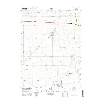 2013 West Unity2013 Print · USGSWilliams County near the Fulton County border shows a landscape of river-valley settlements and rural farmsteads in the early twenty-first century. Genealogists can trace family history through numerous burial sites like Quaker Cem, Floral Grove Cem, and French Cem.
 - 2013 Map of Evansport, 2013 Print
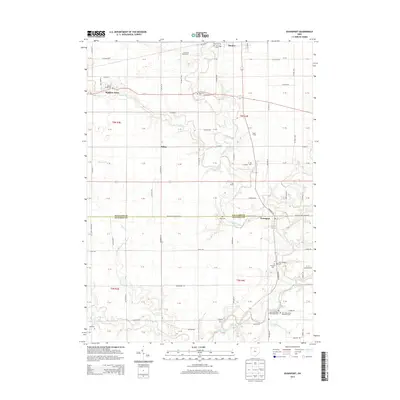 2013 Evansport2013 Print · USGSThe Tiffin River valley at the Williams and Defiance county line comes into focus in this early twenty-first-century survey. Local historians can trace family plots at Old Saint Johns Methodist Cem and Buck Cem or locate the site of Rupp Landing.
Showing maps 1-25 of 56
Top cities of Williams County
Frequently asked questions
- What are the different types of historical maps available for Williams County?
- What is the oldest map of Williams County?
- Where can I purchase historical maps of Williams County for my home or office?
- Where can I download high-res historical maps of Williams County?
- Are there historical topographic maps available for Williams County?
- Is there historical aerial imagery available for Williams County?
- Where are historical maps of Williams County sourced from?