2020s Maps of Blaine County, Oklahoma
Explore 29 historic maps of Blaine County from the 2020s. These maps offer a rare glimpse into what life looked like during the 2020s — showing old roads, neighborhoods, homes, and landmarks that have changed or disappeared over time.
Whether you're researching your family's past, planning a metal detecting trip, or studying how Blaine County's landscape evolved across the 2020s, these high-resolution maps are a powerful tool for exploring the history of this region.
- Focus on a specific era: All maps on this page are from the 2020s, giving you a focused view of this time period.
- See what’s changed: Compare century-old streets, trails, and buildings to today's modern landscape using overlays and satellite layers.
- Research with precision: Use these maps for genealogy, historical research, land use analysis, or educational projects.
- View, download, or print: Maps are fully viewable online in high resolution, and can be downloaded or printed for your own records.
Start exploring Blaine County's history through authentic maps from the 2020s. This is your window into the past.
Blaine County, OK maps
(29)- 2022 Map of Southard, 2022 Print
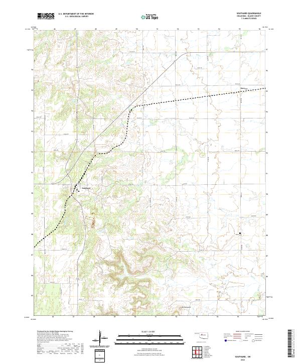 2022 Southard2022 Print · USGSBlaine County's rural landscape is captured here in the early twenty-first century, showing the established agricultural grid and small settlements. Genealogists and local historians can locate the Midlin Cem and trace the paths of Spring Cr and Salt Cr past Southard.
 - 2022 Map of Parvin, 2022 Print
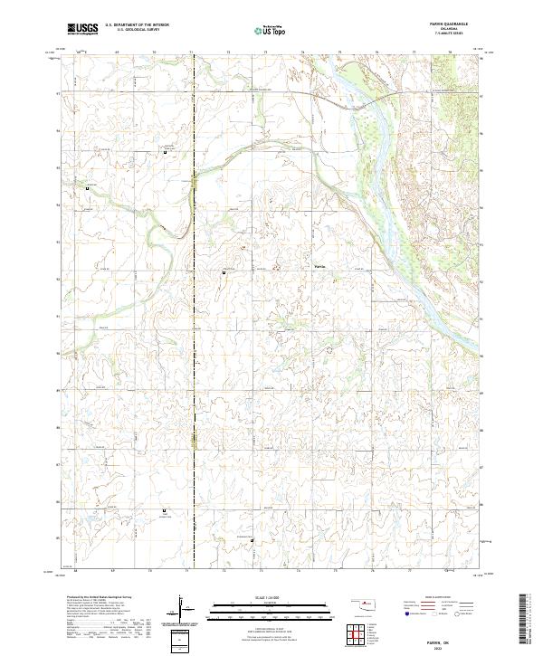 2022 Parvin2022 Print · USGSThe rural borders of Kingfisher and Blaine counties are captured here in the early twenty-first century, centered on the settlement of Parvin. Genealogists can trace family heritage through several small burial sites like Holcomb - Cook Cem, Parvin Cem, and East Cooper Cem.
 - 2022 Map of Canton SW, 2022 Print
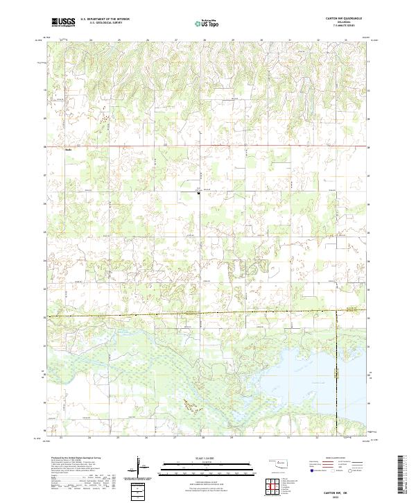
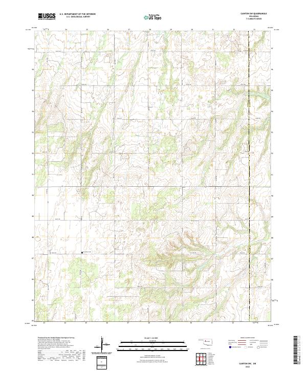 2022 Canton SW2022 Print · USGSDewey and Blaine counties meet in this western Oklahoma landscape during the early 2020s, showing a meticulously gridded prairie landscape. Genealogists can locate Fountain Cem and trace the winding course of Minnehaha Cr through the local section lines.
 - 2022 Map of Homestead, 2022 Print
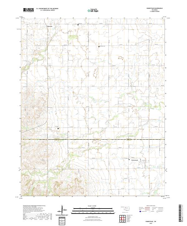 2022 Homestead2022 Print · USGSThe borderlands of Major and Blaine Counties are captured here in the early 2020s, showing a landscape shaped by rural tradition and section-line roads. Genealogists can locate several local burial sites including Mennonite Cemetery, Plymouth Cemetery, and Homestead Cemetery.
 - 2022 Map of Canton NW, 2022 Print
 2022 Canton NW2022 Print · USGSNorthwestern Oklahoma's prairie landscape meets the waters of Canton Lake and the North Canadian River in this detailed survey. Researchers can locate the Fern Cliff Cem and the rural community of Bado tucked among the section roads.
 - 2022 Map of Isabella, 2022 Print
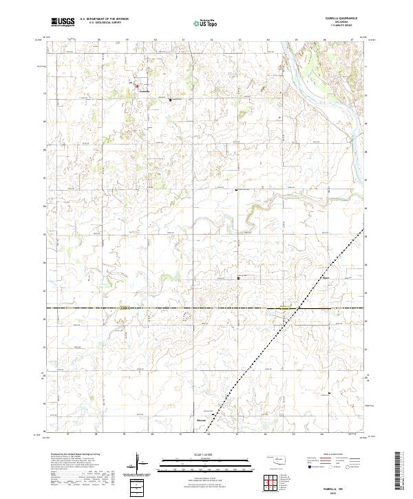 2022 Isabella2022 Print · USGSThe prairie landscape of Major and Blaine Counties comes into focus through this survey of the Isabella and Okeene area. Researchers can trace rural lineages through several local burial sites, including Isabella Cemetery, Bierig Cemetery, and Collins Cemetery.
 - 2022 Map of Ames, 2022 Print
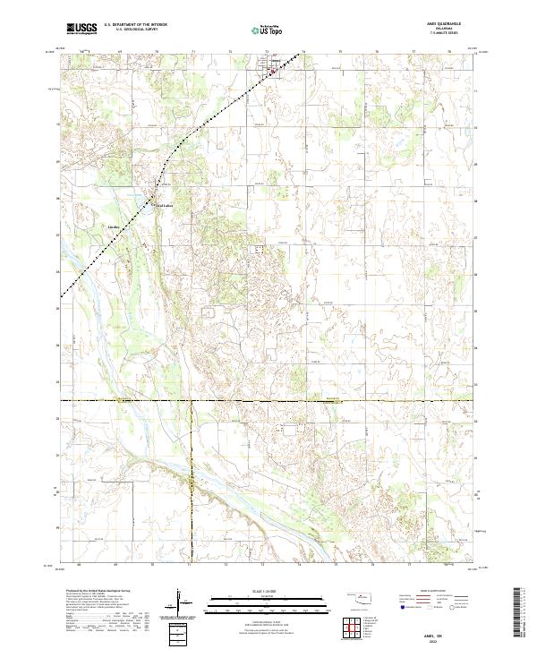 2022 Ames2022 Print · USGSMajor County at the start of the 2020s shows a landscape of steady agriculture and river-fronted settlements. Genealogists can trace property lines near Ames or locate family sites around Crystal Lakes and the Cimarron River.
 - 2022 Map of Eagle City, 2022 Print
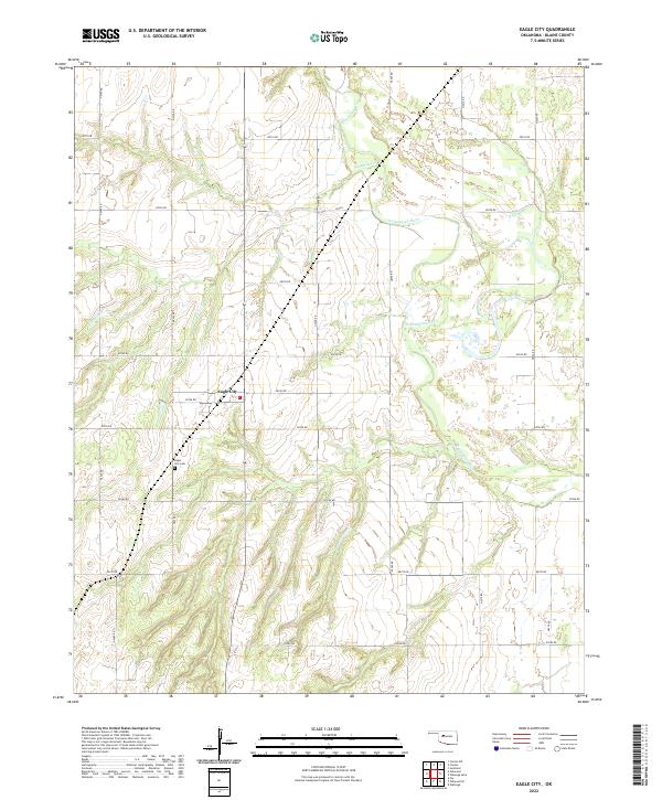 2022 Eagle City2022 Print · USGSBlaine County's rural heartland is documented here in 2022, centering on the small community of Eagle City. Researchers can locate the Eagle City Cemetery and trace the winding course of the North Canadian River through the prairie.
 - 2022 Map of Weatherford NW, 2022 Print
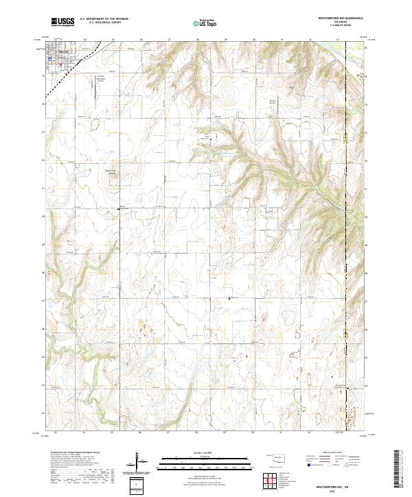 2022 Weatherford NW2022 Print · USGSCuster County agriculture and the town of Thomas are captured here in the early 2020s. Researchers can locate family sites at Saint Johns Cem and Zion Cem or trace the geography of Sugar Loaf Mound and Bear Cr.
 - 2022 Map of Weatherford, 2022 Print
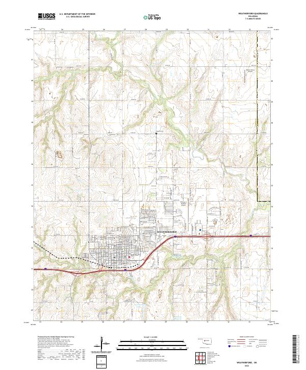 2022 Weatherford2022 Print · USGSWeatherford and the surrounding Custer County plains are shown in high detail during this contemporary era. Genealogists and local historians can locate Greenwood Cem, the Southwestern Oklahoma State University campus, and the path of the iconic Rte 66 Hwy.
 - 2022 Map of Omega, 2022 Print
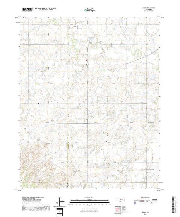 2022 Omega2022 Print · USGSThe Kingfisher and Blaine county line in central Oklahoma is shown here in its modern rural character. Researchers can locate family landmarks like Zion Cem, the settlement of Altona, and the prominent rise of Cheyenne Butte.
 - 2022 Map of Watonga, 2022 Print
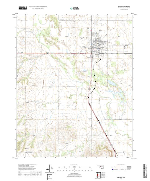 2022 Watonga2022 Print · USGSWatonga and the North Canadian River valley are captured in this recent survey of the Blaine County seat. Genealogists can locate several historic burial sites like Watonga Indian Cemetery, Worrells Cemetery, and the Cedar Point Cemetery.
 - 2022 Map of Porcupine Butte, 2022 Print
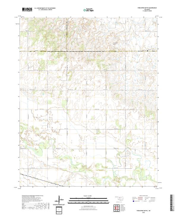 2022 Porcupine Butte2022 Print · USGSAs Oklahoma modernizes, this landscape at the junction of Blaine, Kingfisher, and Canadian counties remains defined by the winding N Canadian River. Researchers can trace old section lines and family land near Porcupine Butte or locate the historic Salem Cem.
 - 2022 Map of Loyal NW, 2022 Print
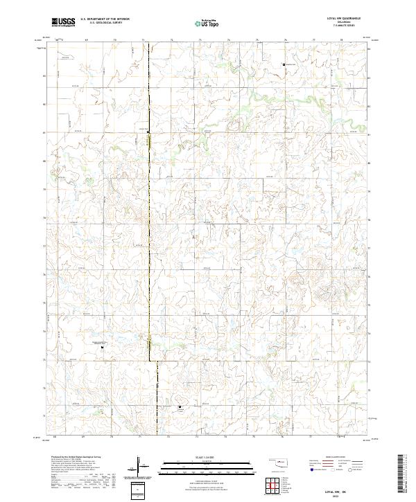 2022 Loyal NW2022 Print · USGSThe Oklahoma plains of Kingfisher and Blaine counties are mapped here in the early 2020s, showing a landscape defined by water and memory. Researchers can locate family roots at the Omega Seventh Day Adventist Cem, Venable Cem, and Lorenz Cem along the winding banks of Otter Cr.
 - 2022 Map of Bridgeport, 2022 Print
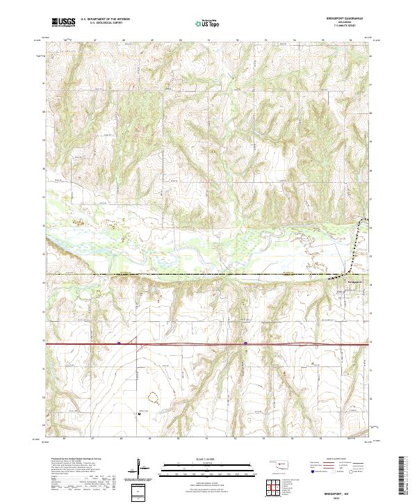 2022 Bridgeport2022 Print · USGSThe Oklahoma prairie meets the winding Canadian River in the early 2020s, showing a landscape shaped by deep canyons and historic transit. Trace the route of Old US Hwy 66 near Bridgeport and locate family history at Bethel Cem.
 - 2022 Map of Watonga Lake, 2022 Print
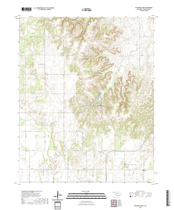 2022 Watonga Lake2022 Print · USGSBlaine County's river valley and northern canyon breaks are documented here in the early twenty-first century. Genealogists and researchers can locate Bridgeford Cem or trace the drainage of Ruby Mill Canyon and Boecher Lake.
 - 2022 Map of Oakwood, 2022 Print
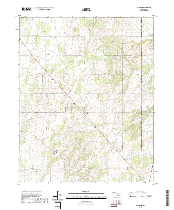 2022 Oakwood2022 Print · USGSWestern Oklahoma farmland near the Dewey and Blaine county line is captured here in the early twenty-first century. Researchers can locate the town of Oakwood, the Oakwood Cem, and the Independent Order of Odd Fellows Cem along the historic section roads.
 - 2022 Map of Hitchcock, 2022 Print
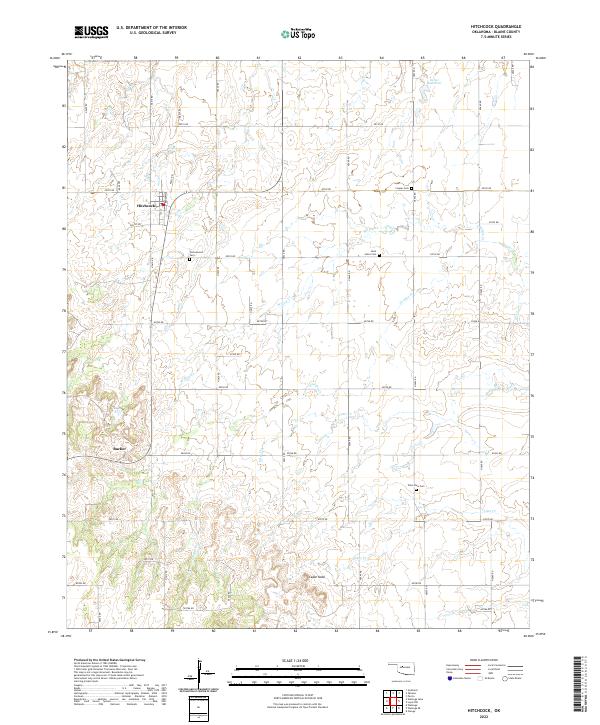 2022 Hitchcock2022 Print · USGSHitchcock and the surrounding Blaine County plains are shown in high detail during the early 2020s. Genealogists and local historians can trace family roots at Cottonwood Cem or Saint John's Cem and locate the small settlement of Bucher.
 - 2022 Map of Watonga SE, 2022 Print
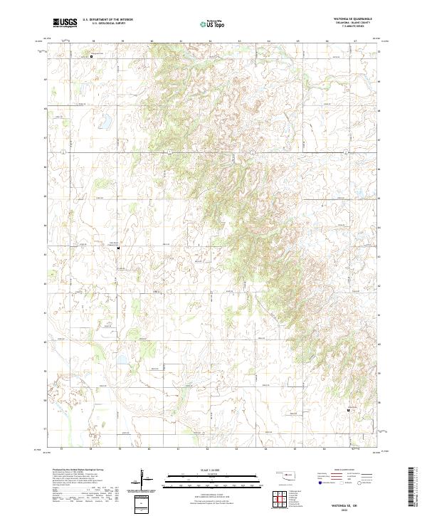 2022 Watonga SE2022 Print · USGSBlaine County's rural plains are documented in the early twenty-first century, showing a landscape defined by cattle country and quiet creek beds. Genealogists can locate family burial sites at East Mount Pleasant Cem, Udora Cem, and Evergreen Cem along the grid of county roads.
 - 2022 Map of Fay, 2022 Print
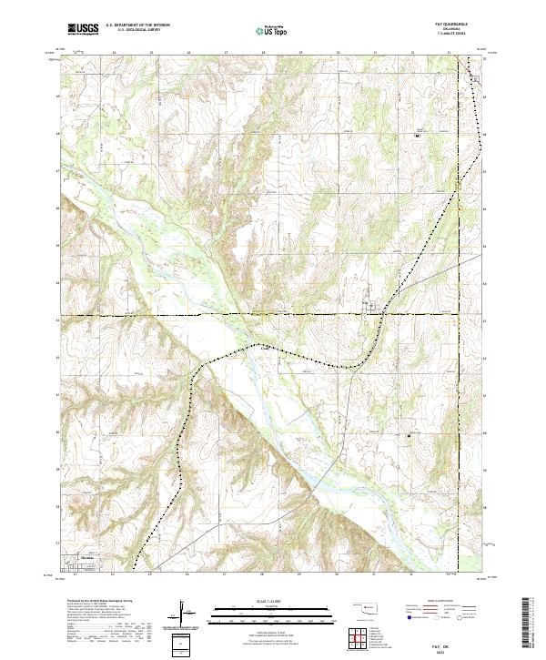 2022 Fay2022 Print · USGSThe Oklahoma prairie at the border of Dewey and Custer Counties is defined here by the winding Canadian River. Genealogists and local historians can trace the quiet rural landscapes surrounding the settlements of Fay and Cody, or locate family sites near Mount Hope Cem and Liberty Cem.
 - 2022 Map of Oakwood SE, 2022 Print
 2022 Oakwood SE2022 Print · USGSBlaine County's rural section-line roads and creek basins are mapped here in the modern era. Genealogists can locate family landmarks such as Rising Sun Cem and Mount Pleasant Cem or trace the drainage of Weathers Cr.
 - 2022 Map of Geary North, 2022 Print
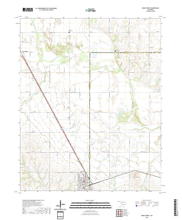 2022 Geary North2022 Print · USGSThe river bottomlands and prairies of Blaine and Canadian counties appear here in the early twenty-first century. Genealogists and historians can locate the Jesse Chisholm Grave Site, the Indian Cem, and the town of Geary.
 - 2022 Map of Okeene, 2022 Print
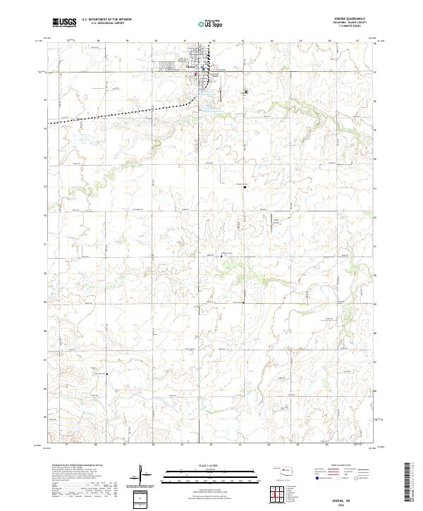 2022 Okeene2022 Print · USGSOklahoma's Blaine County is captured here in the early twenty-first century as a landscape of grid-aligned farms and quiet rural settlements. Researchers can trace ancestral locations across five different burial sites, including Tulles Cem and Peaceful Cem, or locate local landmarks like Christman Airfield.
 - 2022 Map of Longdale, 2022 Print
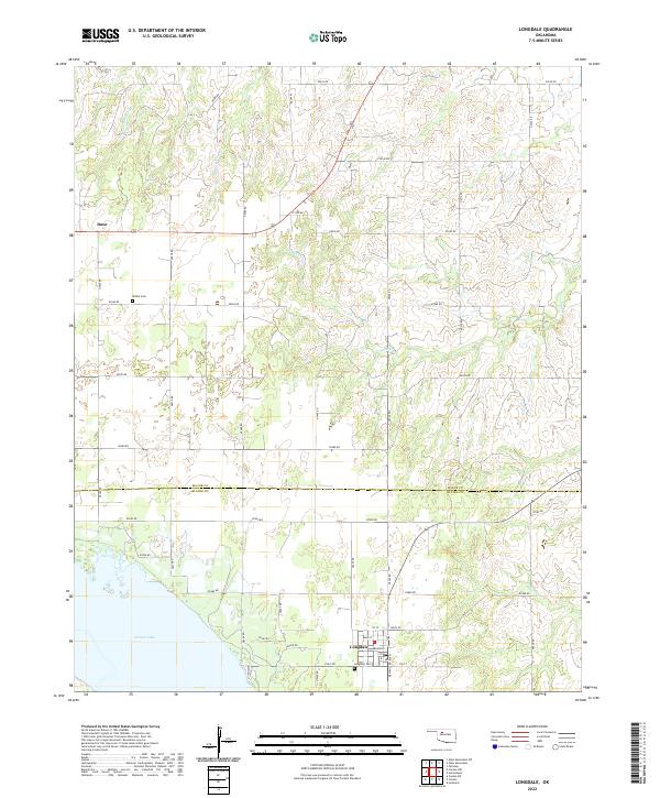 2022 Longdale2022 Print · USGSThe area near the Major and Blaine county line is shown here in the 2020s, anchored by the waters of Canton Lake. Researchers can locate local landmarks like Bethel Cem, the community of Dane, and the street grid of Longdale.
 - 2022 Map of Canton, 2022 Print
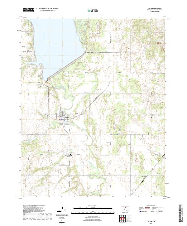 2022 Canton2022 Print · USGSOklahoma's Blaine County landscape is captured here in the early twenty-first century, centered on the intersection of the river and the reservoir. Researchers can trace local heritage through numerous sites like the Indian Mennonite Cem and Canton Cem near the banks of Canton Lake.
Showing maps 1-25 of 29
Top cities of Blaine County
- Watonga historical maps
- Okeene historical maps
- Canton historical maps
- Longdale historical maps
- Hitchcock historical maps
- Greenfield historical maps
Frequently asked questions
- What are the different types of historical maps available for Blaine County?
- What is the oldest map of Blaine County?
- Where can I purchase historical maps of Blaine County for my home or office?
- Where can I download high-res historical maps of Blaine County?
- Are there historical topographic maps available for Blaine County?
- Is there historical aerial imagery available for Blaine County?
- Where are historical maps of Blaine County sourced from?