1970s Maps of Blaine County, Oklahoma
Explore 19 historic maps of Blaine County from the 1970s. These maps offer a rare glimpse into what life looked like during the 1970s — showing old roads, neighborhoods, homes, and landmarks that have changed or disappeared over time.
Whether you're researching your family's past, planning a metal detecting trip, or studying how Blaine County's landscape evolved across the 1970s, these high-resolution maps are a powerful tool for exploring the history of this region.
- Focus on a specific era: All maps on this page are from the 1970s, giving you a focused view of this time period.
- See what’s changed: Compare century-old streets, trails, and buildings to today's modern landscape using overlays and satellite layers.
- Research with precision: Use these maps for genealogy, historical research, land use analysis, or educational projects.
- View, download, or print: Maps are fully viewable online in high resolution, and can be downloaded or printed for your own records.
Start exploring Blaine County's history through authentic maps from the 1970s. This is your window into the past.
Blaine County, OK maps
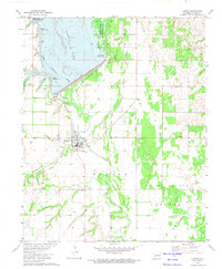
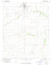
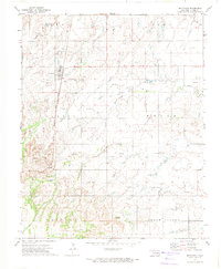
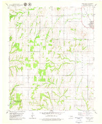
(19)- 1972 Map of Watonga, 1974 Print
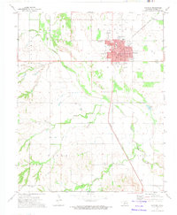 1972 Watonga1974 Print · USGSWatonga was a thriving center for the rail-and-river economy of central Oklahoma in the early seventies. Genealogists and local historians can trace family roots at the Watonga Indian Cem and Pinkerton Cem, or locate the Drive-in Theater and Fairground.
 - 1972 Map of Longdale, 1974 Print
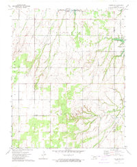
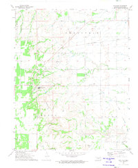
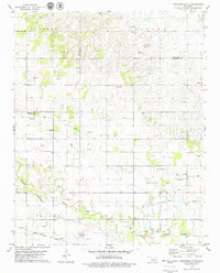
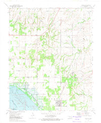 1972 Longdale1974 Print · USGSBlaine County's rural landscape is captured here in the early seventies as the region balanced its agricultural roots with a growing energy sector. Researchers can trace the Atchison Topeka and Santa Fe rail line past Longdale or locate family sites at Bethel Cem and Cedar Springs.
 - 1972 Map of Canton NW, 1974 Print
 1972 Canton NW1974 Print · USGSThe rural landscapes of Major and Dewey Counties are captured here in the early 1970s, centered on the waters of Canton Lake. Genealogists and local historians can trace family locations near the Fern Cliff Cem, the settlement of Bado, and Midway Ch.
 - 1972 Map of Omega, 1974 Print
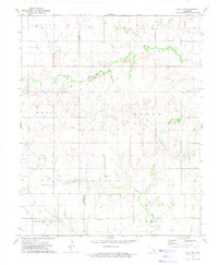
 1972 Omega1974 Print · USGSThe Oklahoma prairie during the early 1970s reveals a landscape of small agricultural settlements and emerging energy infrastructure. Researchers can locate community centers like Omega and Altona, identify local burial grounds at Zion Cem, and trace the winding course of Kingfisher Creek.
 - 1972 Map of Canton, 1974 Print
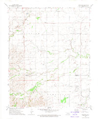
 1972 Canton1974 Print · USGSBlaine County, Oklahoma, is shown in the early seventies as a landscape of energy production and lakefront recreation. Researchers can trace the Atchison Topeka and Santa Fe rails, the small settlement of Carlton, and the Canton Cem.
 - 1972 Map of Watonga SE, 1974 Print
 1972 Watonga SE1974 Print · USGSBlaine County's rolling valley floor and the North Canadian River are captured here in the early 1970s. Genealogists and local historians can locate family burial sites at Evergreen Cem and East Mt Pleasant Cem or trace the early energy development of Cedar Valley.
 - 1972 Map of Canton SW, 1974 Print
 1972 Canton SW1974 Print · USGSNorthwestern Oklahoma in the early seventies shows a landscape where energy production meets public recreation along the Dewey County line. Researchers can trace the Atchison Topeka and Santa Fe rail line, locate Fountain Cem, and explore the Oil Field surrounding Canton Lake.
 - 1972 Map of Loyal NW, 1974 Print
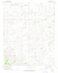
 1972 Loyal NW1974 Print · USGSThe Oklahoma prairie on the Blaine and Kingfisher county line is captured here in the early 1970s during a period of active oil exploration. Researchers can find many family landmarks and community sites, including the Lomega Sch, Omega Cem, and the Venable Cem.
 - 1972 Map of Southard, 1974 Print
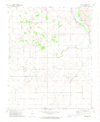
 1972 Southard1974 Print · USGSBlaine County industrial sites and rural townships are captured in the early seventies, featuring the gypsum mining hub of Southard. Trace the St Louis-San Francisco line and find old landmarks like Ruby Mill Can or the Mount Henquent Gas Well.2 unique versions available
 - 1972 Map of Okeene, 1974 Print
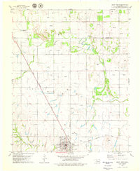
 1972 Okeene1974 Print · USGSOklahoma's northern prairie at the start of the 1970s reveals a landscape defined by intersectional rail lines and energy exploration. Local historians can trace the routes of the St Louis - San Francisco and locate family landmarks like Tulles Cem or Peaceful Cem.
 - 1972 Map of Homestead, 1974 Print
 1972 Homestead1974 Print · USGSNorthwestern Oklahoma’s rural landscape is captured here in the early seventies, showing a region where rail transit and the gas industry shaped local life. Genealogists and historians can trace local families through Cedar Cemetery, Mennonite Cemetery, and the Homestead settlement.
 - 1972 Map of Isabella, 1974 Print
 1972 Isabella1974 Print · USGSNorthwest Oklahoma prairie life is captured here in the early 1970s as energy production and railroads defined the landscape. Genealogists can trace family footprints at Isabella Cem or Bierig Cem and follow the path of the St Louis San Francisco railroad.
 - 1972 Map of Watonga Lake, 1974 Print
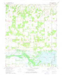
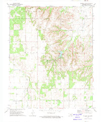 1972 Watonga Lake1974 Print · USGSIn the early 1970s, this portion of Blaine County shows a landscape where outdoor recreation meets the energy industry. Researchers can trace the legacy of Roman Nose State Park, locate Bridgford Cem, and follow the Old Railroad Grade.
 - 1972 Map of Hitchcock, 1974 Print
 1972 Hitchcock1974 Print · USGSCentral Oklahoma's agricultural and energy landscape is captured here in the early seventies, centered on the railroad town of Hitchcock. Researchers can locate rural landmarks like Cottonwood Cem, the settlement of Busher, and the high ground of Cedar Knoll.
 - 1979 Map of Geary North
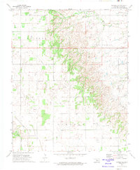
 1979 Geary North1979 Print · USGSSettlement in Blaine County and Canadian County during the late 1970s is centered around the rail hub of Geary. Trace the diagonal route of the Chicago Rock Island and Pacific or locate rural landmarks like Grandview Ch and Left Hand Spring.
 - 1979 Map of Geary South
 1979 Geary South1979 Print · USGSThe Canadian River valley in the late seventies reveals a landscape shaped by rail, river, and rural industry. Researchers can trace the Chicago Rock Island and Pacific rail lines, the Old Railroad Grade, and local sites like Graceland Cem and Hinton Junction.2 unique versions available
 - 1979 Map of Greenfield
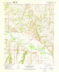
 1979 Greenfield1979 Print · USGSBlaine County's rural landscape is captured here in the late seventies, showing the transition from rail-side commerce to the southern canyonlands. Researchers can find the Richland Cemetery, the community of Greenfield, and the waters of American Horse Lake.2 unique versions available
 - 1979 Map of Porcupine Butte
 1979 Porcupine Butte1979 Print · USGSCanadian County at the end of the seventies shows a busy intersection of Oklahoma energy and agriculture along the river valley. Genealogists and researchers can locate the Swappingback Mission, trace the Chicago Rock Island and Pacific rail line, and find local landmarks like Coleman Chapel.
 - 1979 Map of Bridgeport
 1979 Bridgeport1979 Print · USGSThe Canadian River valley in the late 1970s is shown here at the meeting point of Blaine and Caddo counties. Local historians can trace the Chicago Rock Island and Pacific rail corridor, the town of Bridgeport, and family-oriented sites like Pleasant Ridge Ch.2 unique versions available
End of results
Showing maps 1-19 of 19
Top cities of Blaine County
- Watonga historical maps
- Okeene historical maps
- Canton historical maps
- Longdale historical maps
- Hitchcock historical maps
- Greenfield historical maps
Frequently asked questions
- What are the different types of historical maps available for Blaine County?
- What is the oldest map of Blaine County?
- Where can I purchase historical maps of Blaine County for my home or office?
- Where can I download high-res historical maps of Blaine County?
- Are there historical topographic maps available for Blaine County?
- Is there historical aerial imagery available for Blaine County?
- Where are historical maps of Blaine County sourced from?