2000s (21st Century) Maps of Greer County, Oklahoma
Explore 100 historic maps of Greer County from the 2000s (21st Century). These maps offer a rare glimpse into what life looked like during the 2000s — showing old roads, neighborhoods, homes, and landmarks that have changed or disappeared over time.
Whether you're researching your family's past, planning a metal detecting trip, or studying how Greer County's landscape evolved across the 2000s, these high-resolution maps are a powerful tool for exploring the history of this region.
- Focus on a specific era: All maps on this page are from the 2000s, giving you a focused view of this time period.
- See what’s changed: Compare century-old streets, trails, and buildings to today's modern landscape using overlays and satellite layers.
- Research with precision: Use these maps for genealogy, historical research, land use analysis, or educational projects.
- View, download, or print: Maps are fully viewable online in high resolution, and can be downloaded or printed for your own records.
Start exploring Greer County's history through authentic maps from the 2000s. This is your window into the past.
Greer County, OK maps
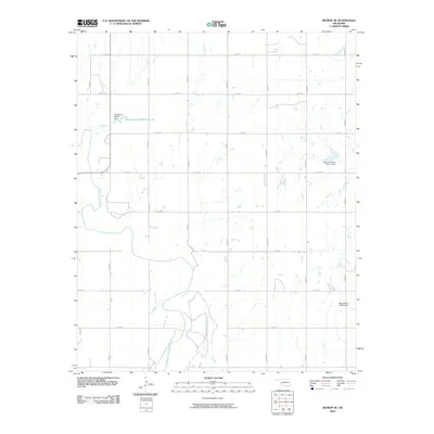
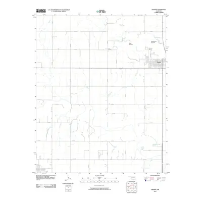
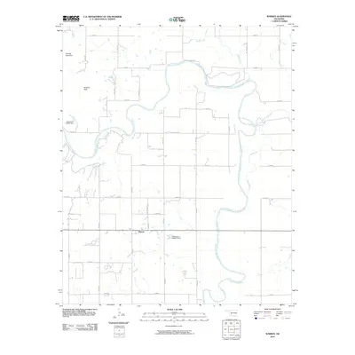
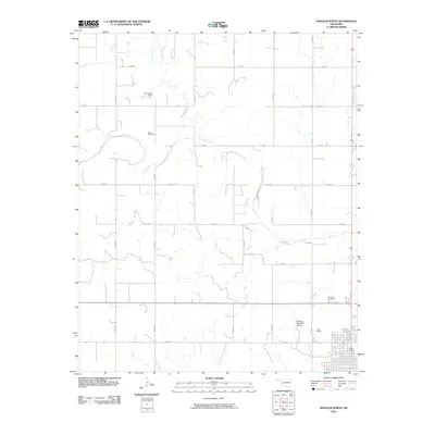
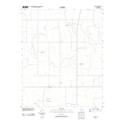
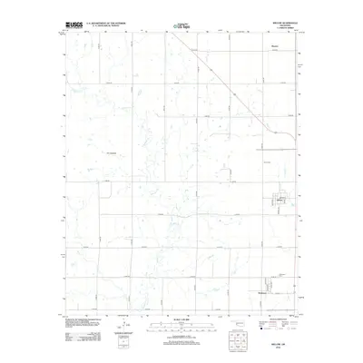
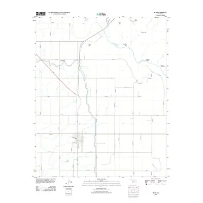
(100)- 2010 Map of Willow, 2010 Print
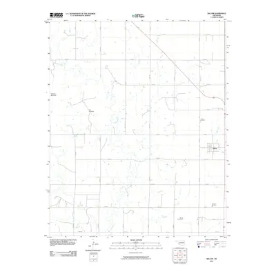 2010 Willow2010 Print · USGSCovers Greer County, including Willow, Brinkman, and other nearby areas
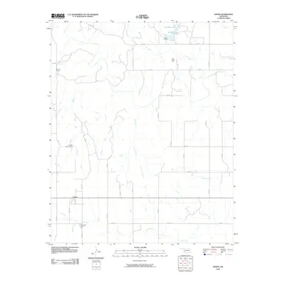
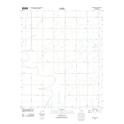
 - 2010 Map of Minnow Creek, 2010 Print
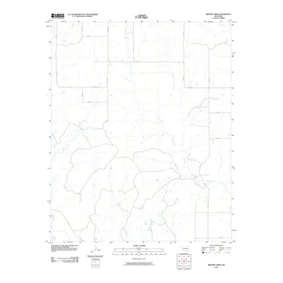 2010 Minnow Creek2010 Print · USGSCovers Greer County, including Beckham County, United States, and other nearby areas
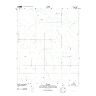
 - 2010 Map of Plainview, 2010 Print
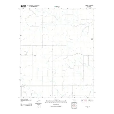 2010 Plainview2010 Print · USGSCovers Greer County, including Bloomington, Plainview, and other nearby areas
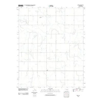
 - 2010 Map of Hester, 2010 Print
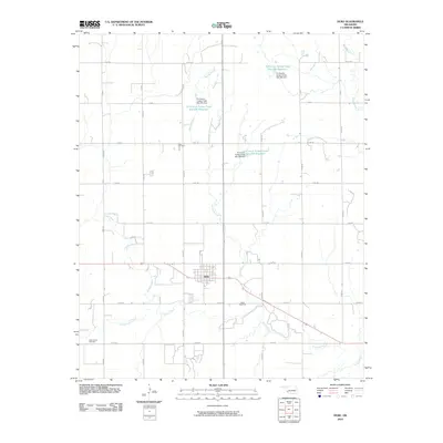
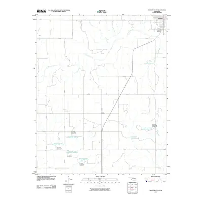
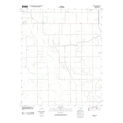 2010 Hester2010 Print · USGSCovers Greer County, including Mangum, Hester, and other nearby areas
 - 2010 Map of Retrop SE, 2010 Print
 2010 Retrop SE2010 Print · USGSCovers Greer County, including Beckham County, Kiowa County, and other nearby areas
 - 2010 Map of Lake Altus, 2010 Print
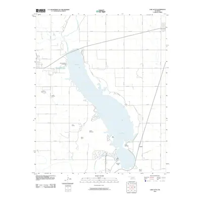 2010 Lake Altus2010 Print · USGSCovers Greer County, including Granite, Lone Wolf, and other nearby areas
 - 2010 Map of Duke, 2010 Print
 2010 Duke2010 Print · USGSCovers Greer County, including East Duke, Jackson County, and other nearby areas
 - 2010 Map of Blair, 2010 Print
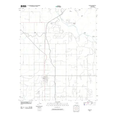 2010 Blair2010 Print · USGSCovers Greer County, including Blair, City View, and other nearby areas
 - 2010 Map of Granite, 2010 Print
 2010 Granite2010 Print · USGSCovers Greer County, including Mangum, Granite, and other nearby areas
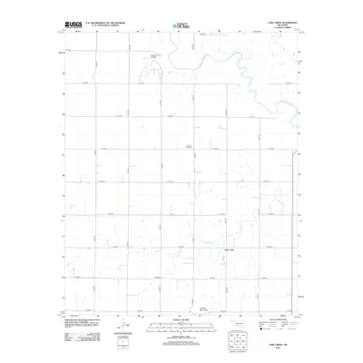
 - 2010 Map of Lake Creek, 2010 Print
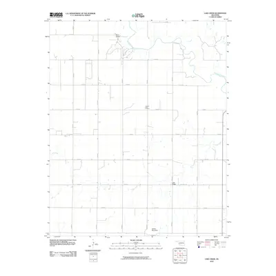 2010 Lake Creek2010 Print · USGSCovers Greer County, including Lake Creek, Beckham County, and other nearby areas
 - 2010 Map of Vinson, 2010 Print
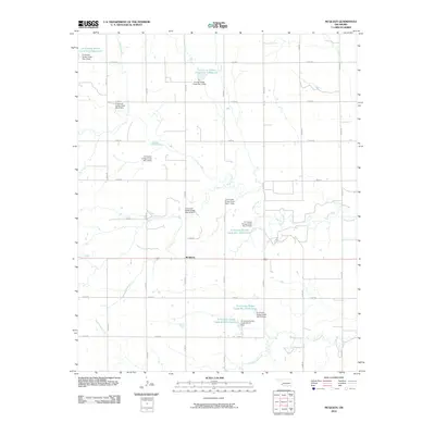
 2010 Vinson2010 Print · USGSCovers Greer County, including Vinson, Harmon County, and other nearby areas
 - 2010 Map of Reed, 2010 Print
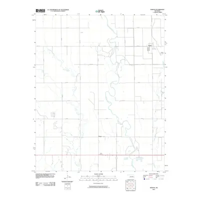
 2010 Reed2010 Print · USGSCovers Greer County, including Reed, Harmon County, and other nearby areas
 - 2010 Map of Warren, 2010 Print
 2010 Warren2010 Print · USGSCovers Greer County, including Warren, Jackson County, and other nearby areas
 - 2010 Map of Russell, 2010 Print
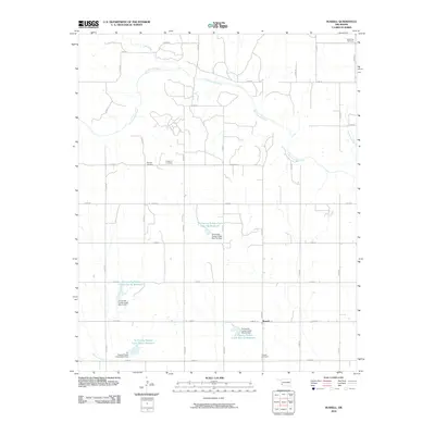 2010 Russell2010 Print · USGSCovers Greer County, including Russell, Harmon County, and other nearby areas
 - 2010 Map of Martha, 2010 Print
 2010 Martha2010 Print · USGSCovers Greer County, including Martha, Victory, and other nearby areas
 - 2010 Map of McQueen, 2010 Print
 2010 McQueen2010 Print · USGSCovers Greer County, including McQueen, Jackson County, and other nearby areas
 - 2010 Map of Mangum North, 2010 Print
 2010 Mangum North2010 Print · USGSCovers Greer County, including Mangum, United States, and other nearby areas
 - 2010 Map of Mangum South, 2010 Print
 2010 Mangum South2010 Print · USGSCovers Greer County, including Mangum, United States, and other nearby areas
 - 2010 Map of Bull Creek, 2010 Print
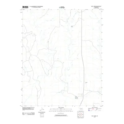 2010 Bull Creek2010 Print · USGSCovers Greer County, including Beckham County, Harmon County, and other nearby areas
 - 2010 Map of Madge, 2010 Print
 2010 Madge2010 Print · USGSCovers Greer County, including Madge, Carl, and other nearby areas
 - 2012 Map of Retrop SE, 2012 Print
 2012 Retrop SE2012 Print · USGSCovers Greer County, including Beckham County, Kiowa County, and other nearby areas
 - 2012 Map of Willow, 2012 Print
 2012 Willow2012 Print · USGSCovers Greer County, including Willow, Brinkman, and other nearby areas
 - 2012 Map of Lake Creek, 2012 Print
 2012 Lake Creek2012 Print · USGSCovers Greer County, including Lake Creek, Beckham County, and other nearby areas
 - 2012 Map of Plainview, 2012 Print
 2012 Plainview2012 Print · USGSCovers Greer County, including Bloomington, Plainview, and other nearby areas
 - 2012 Map of Blair, 2012 Print
 2012 Blair2012 Print · USGSCovers Greer County, including Blair, City View, and other nearby areas
Showing maps 1-25 of 100
Top cities of Greer County
Frequently asked questions
- What are the different types of historical maps available for Greer County?
- What is the oldest map of Greer County?
- Where can I purchase historical maps of Greer County for my home or office?
- Where can I download high-res historical maps of Greer County?
- Are there historical topographic maps available for Greer County?
- Is there historical aerial imagery available for Greer County?
- Where are historical maps of Greer County sourced from?