2020s Maps of Greer County, Oklahoma
Explore 20 historic maps of Greer County from the 2020s. These maps offer a rare glimpse into what life looked like during the 2020s — showing old roads, neighborhoods, homes, and landmarks that have changed or disappeared over time.
Whether you're researching your family's past, planning a metal detecting trip, or studying how Greer County's landscape evolved across the 2020s, these high-resolution maps are a powerful tool for exploring the history of this region.
- Focus on a specific era: All maps on this page are from the 2020s, giving you a focused view of this time period.
- See what’s changed: Compare century-old streets, trails, and buildings to today's modern landscape using overlays and satellite layers.
- Research with precision: Use these maps for genealogy, historical research, land use analysis, or educational projects.
- View, download, or print: Maps are fully viewable online in high resolution, and can be downloaded or printed for your own records.
Start exploring Greer County's history through authentic maps from the 2020s. This is your window into the past.
Greer County, OK maps
(20)- 2022 Map of Lake Creek, 2022 Print
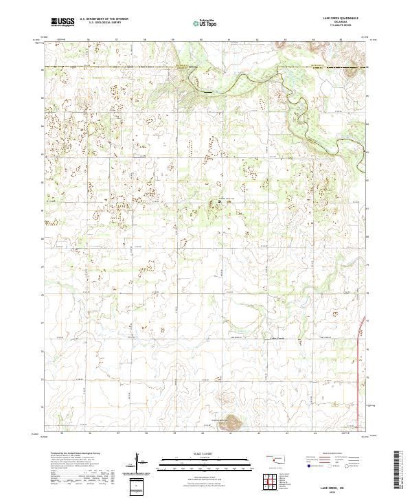 2022 Lake Creek2022 Print · USGSGreer County ranching lands and the tri-county border area appear here in the early twenty-first century. Researchers can trace local history through features like Pleasant Valley Cem, the settlement at Lake Creek, and the winding North Fork Red River.
 - 2022 Map of Willow, 2022 Print
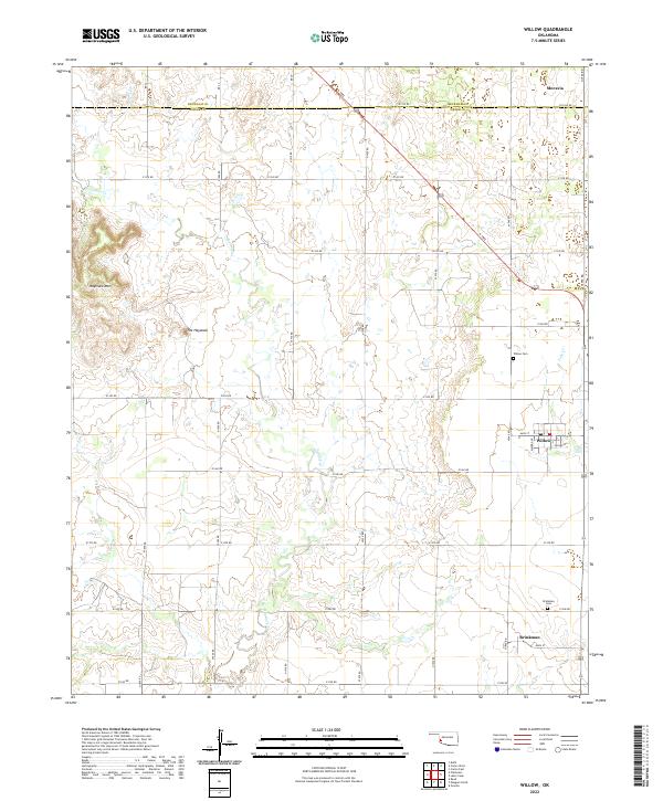 2022 Willow2022 Print · USGSSouthwestern Oklahoma's agricultural heartland is documented here, showing the rural communities of Willow and Brinkman. Researchers can trace family history through the Willow Cem and Brinkman Cem or locate the prominent Haystack Mtn.
 - 2022 Map of Minnow Creek, 2022 Print
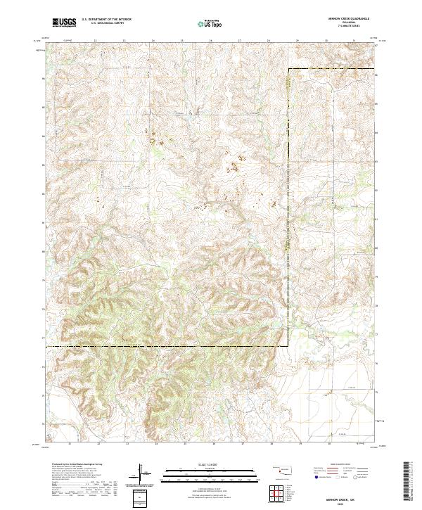 2022 Minnow Creek2022 Print · USGSWestern Oklahoma cattle country and prairie drainages are documented in this recent survey of the Beckham and Greer county line. Researchers can trace the rural road network and seasonal watercourses like Minnow Creek, Fish Creek, and Root Creek.
 - 2022 Map of Retrop SE, 2022 Print
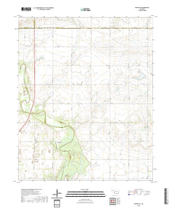 2022 Retrop SE2022 Print · USGSThe rural borderlands of southwest Oklahoma are charted here in the early twenty-first century, where four counties converge. Genealogists can trace family lands along Co Line Rd or near the North Fork Red River and Twin Lakes Ranch.
 - 2022 Map of Plainview, 2022 Print
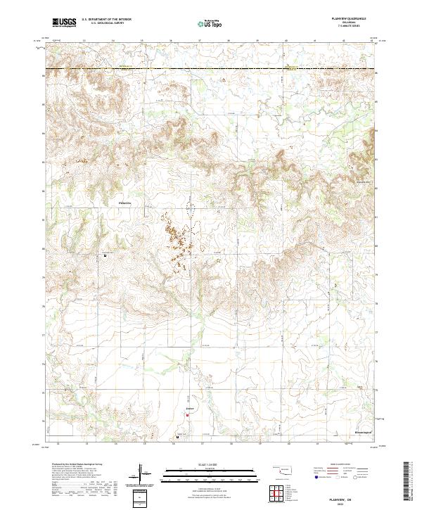 2022 Plainview2022 Print · USGSGreer County, Oklahoma, is shown in the early 2020s as a quiet landscape of agricultural section lines and winding prairie creeks. Researchers can trace rural lineages at the Plainview Cem and Jester Cem near the small community of Jester.
 - 2022 Map of Bull Creek, 2022 Print
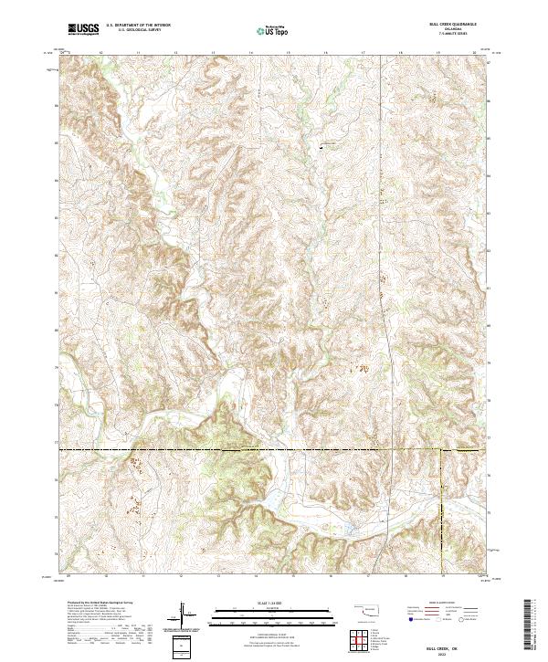 2022 Bull Creek2022 Print · USGSThe rural borders of Beckham, Harmon, and Greer counties are mapped here in the early twenty-first century, showing a landscape shaped by deep creek drainages. Genealogists and local historians can locate Vannerson Cem and trace the paths of Bull Cr and Fish Cr.
 - 2022 Map of Russell, 2022 Print
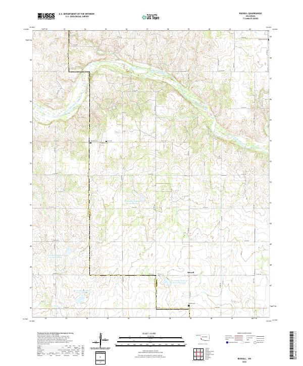 2022 Russell2022 Print · USGSGreer and Harmon Counties are captured here in a 2022 snapshot of the Oklahoma plains. Genealogists and historians can trace family roots at Russell Cemetery, Wildcat Cemetery, and Langford Cemetery near the banks of the Salt Fork Red River.
 - 2022 Map of Madge, 2022 Print
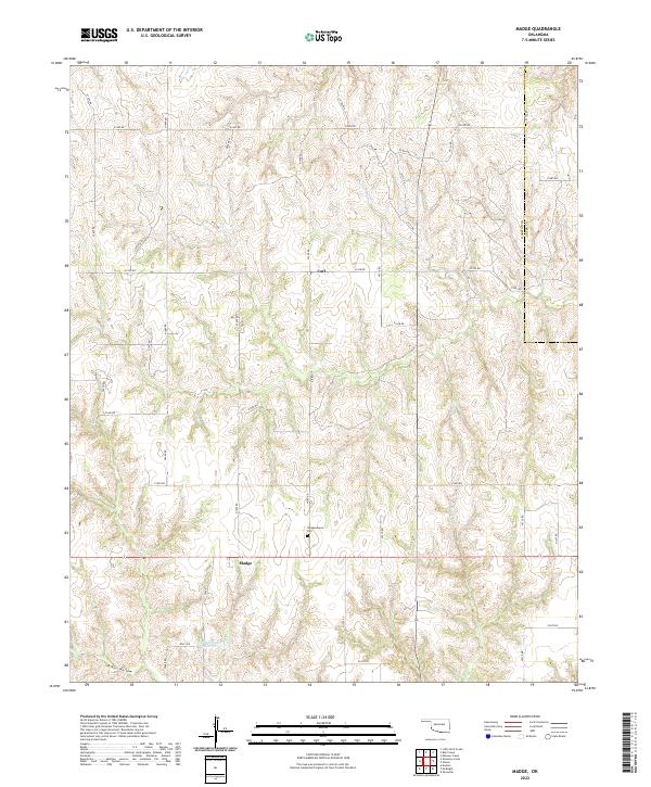 2022 Madge2022 Print · USGSHarmon County's agricultural heartland is documented here in the early twenty-first century as rural life follows the section lines. Researchers can locate the Independence Ch and Independence Cem, or trace the waters of Hester Cr.
 - 2022 Map of McQueen, 2022 Print
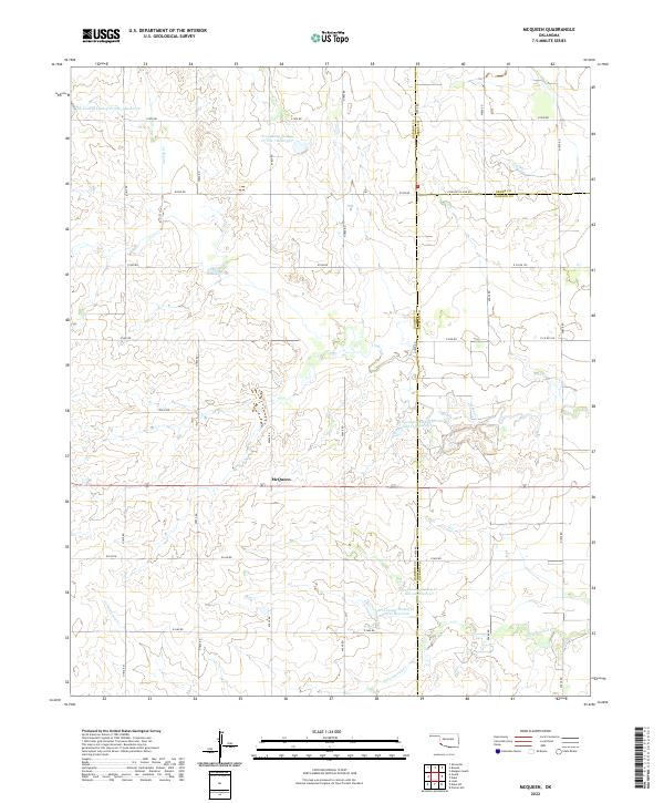 2022 McQueen2022 Print · USGSSouthwestern Oklahoma's agricultural landscape is seen here at the county borders of Harmon, Greer, and Jackson. Local researchers can trace the settlement of McQueen and a network of water management sites like Tri-County Turkey Cr Site 21 Reservoir.
 - 2022 Map of Hester, 2022 Print
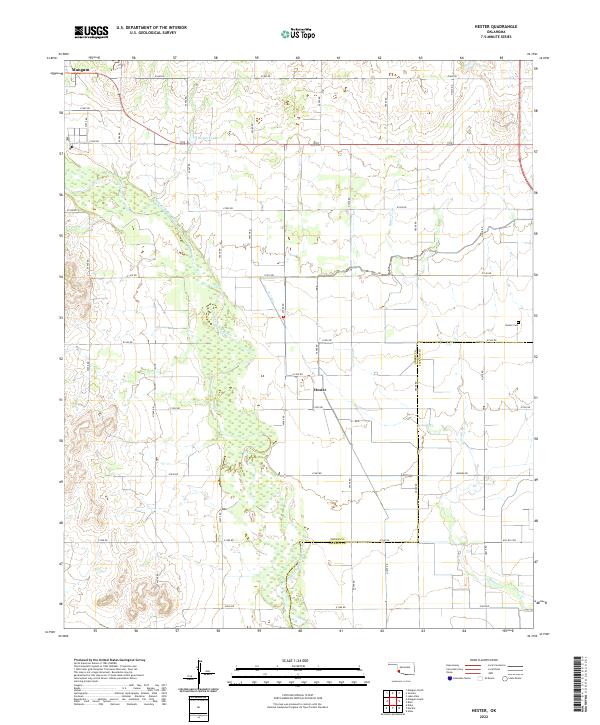 2022 Hester2022 Print · USGSGreer County farmland and the braided channels of the Red River come into focus in this recent survey. Local researchers can trace family landmarks like Hester Cem, the community of Hester, and the agricultural lifeline of the W Canal.
 - 2022 Map of Warren, 2022 Print
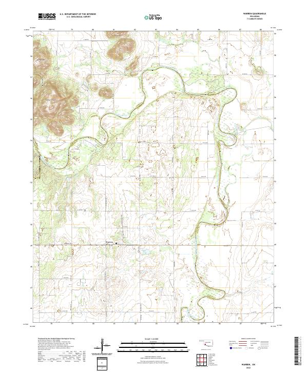 2022 Warren2022 Print · USGSSouthwest Oklahoma at the start of the 2020s shows a landscape of river-bend ranching and rugged foothill terrain. Genealogists and local historians can trace the community of Warren and the Warren Cem near the winding North Fork Red River.
 - 2022 Map of Mangum North, 2022 Print
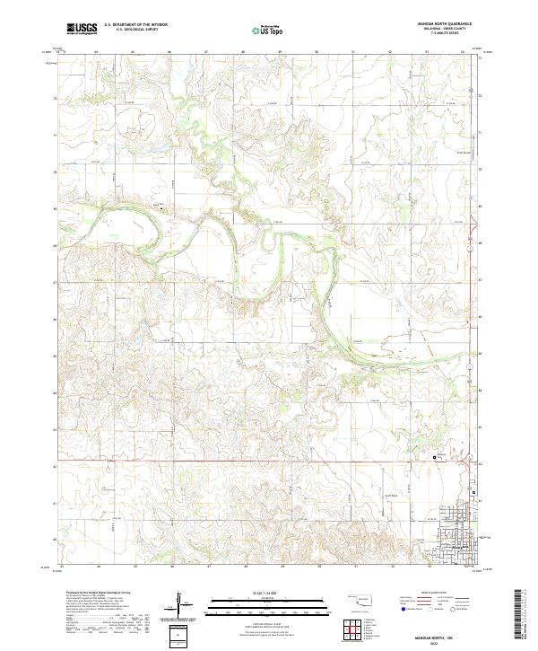 2022 Mangum North2022 Print · USGSGreer County, Oklahoma, comes into focus in the early 2020s, revealing the northern outskirts of a historic county seat and its surrounding prairie. Genealogists and local historians can locate family burial sites at Marie Cem and Roselawn Cem or trace the early street grid of Mangum.
 - 2022 Map of Mangum South, 2022 Print
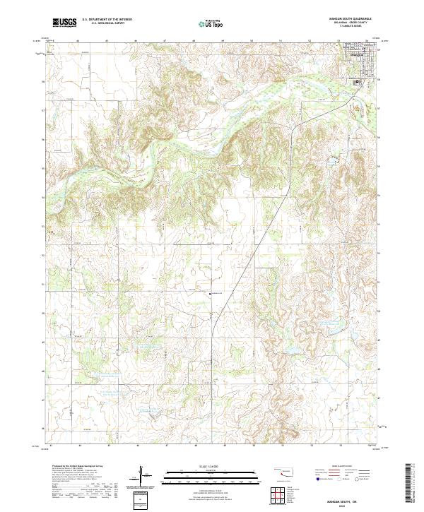 2022 Mangum South2022 Print · USGSGreer County at the southern edge of Mangum reveals a landscape shaped by the Salt Fork Red River and modern water management. Trace local roots at Riverside Cem and Ladessa Cem, or locate the Greer County Courthouse in the heart of the settlement.
 - 2022 Map of Blair, 2022 Print
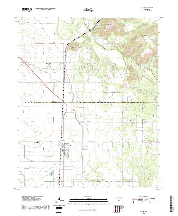 2022 Blair2022 Print · USGSSouthwestern Oklahoma farmland meets the mountains in the early 2020s as the river forks converge. Genealogists can trace family sites at Blair Cem and through the streets of Blair, while hikers can locate Wisdom Canyon and Cement Gap.
 - 2022 Map of Martha, 2022 Print
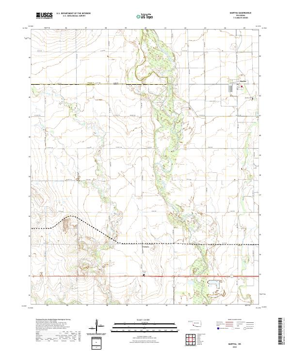 2022 Martha2022 Print · USGSSouthwestern Oklahoma's agricultural plains are documented here as they appeared in 2022, centering on the broad floodplain of the Salt Fork Red River. Researchers can locate specific family plots at Martha Cem or trace the early settlement at Victory.
 - 2022 Map of Granite, 2022 Print
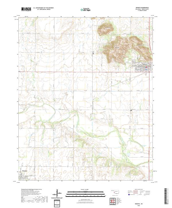 2022 Granite2022 Print · USGSGreer County in the early twenty-first century is defined by the granite peaks rising over the plains and the winding Elm Fork. Genealogists and local historians can trace the grid of Granite, locate the Lutheran Cem, and survey the banks of Horseshoe Lake.
 - 2022 Map of Duke, 2022 Print
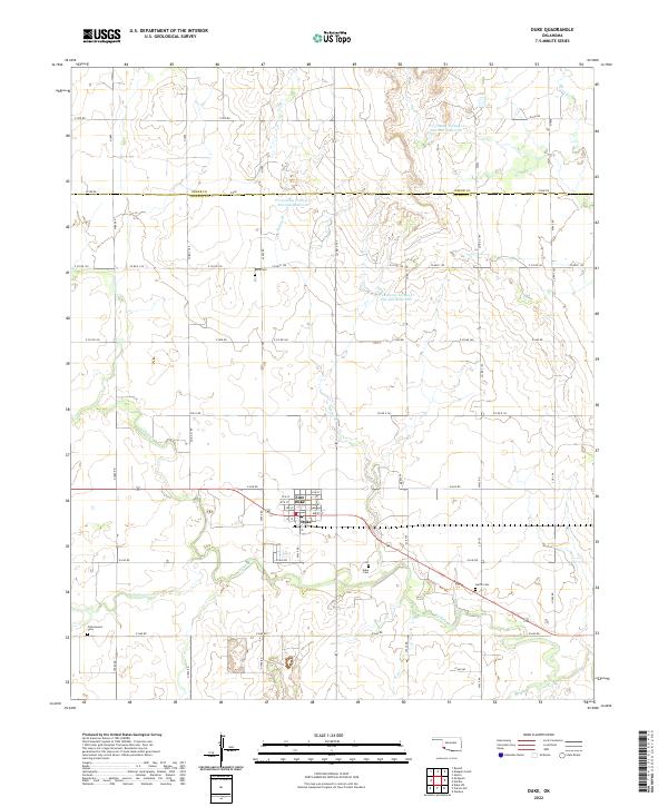 2022 Duke2022 Print · USGSJackson County's agricultural heartland is documented here in the early twenty-first century, centered on the community of Duke. Researchers can locate several rural burial grounds like Rock Cemetery and Guffin Cemetery alongside local landmarks like Cottonwood Creek.
 - 2022 Map of Reed, 2022 Print
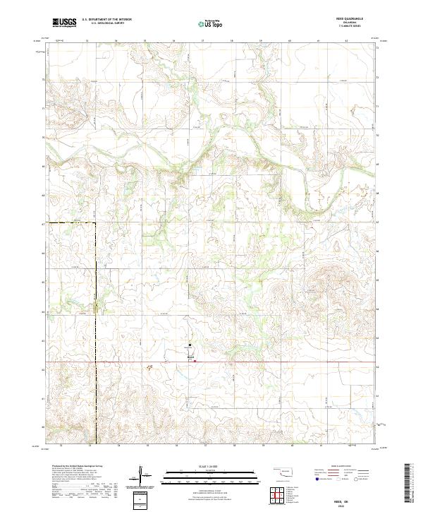 2022 Reed2022 Print · USGSThe community of Reed sits amidst the drainage basins of southwest Oklahoma in this modern survey. Researchers can trace land tracts near the Reed Cem or locate reliable water sources like Jay Buckle Spring and Sleepy John Cr.
 - 2022 Map of Lake Altus, 2022 Print
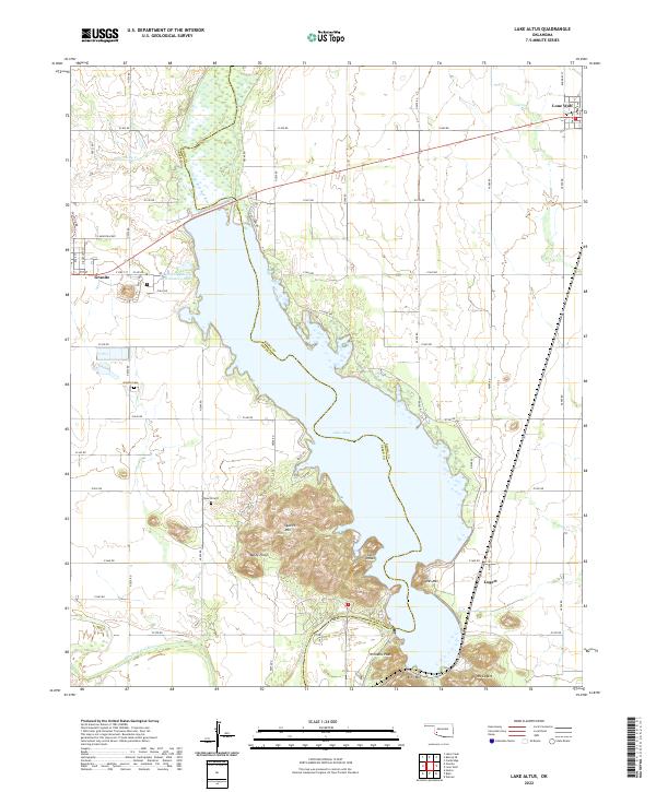 2022 Lake Altus2022 Print · USGSWestern Oklahoma’s granite peaks and reservoirs are captured here in the early twenty-first century. Genealogists and local historians can trace the sites of Granite, Lone Wolf, and Lugert, alongside landmarks like Quartz Cem and King Mtn.
 - 2022 Map of Vinson, 2022 Print
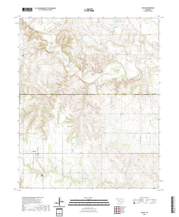 2022 Vinson2022 Print · USGSHarmon and Greer counties in the 2020s remain defined by their deep-cut creek beds and original section-line road grids. Genealogists and local historians can locate the Hackberry Cem, the Cave Creek Cem, and the geologic Vinson Natural Bridge near Vinson.
End of results
Showing maps 1-20 of 20
Top cities of Greer County
Frequently asked questions
- What are the different types of historical maps available for Greer County?
- What is the oldest map of Greer County?
- Where can I purchase historical maps of Greer County for my home or office?
- Where can I download high-res historical maps of Greer County?
- Are there historical topographic maps available for Greer County?
- Is there historical aerial imagery available for Greer County?
- Where are historical maps of Greer County sourced from?