2010s Maps of Greer County, Oklahoma
Explore 80 historic maps of Greer County from the 2010s. These maps offer a rare glimpse into what life looked like during the 2010s — showing old roads, neighborhoods, homes, and landmarks that have changed or disappeared over time.
Whether you're researching your family's past, planning a metal detecting trip, or studying how Greer County's landscape evolved across the 2010s, these high-resolution maps are a powerful tool for exploring the history of this region.
- Focus on a specific era: All maps on this page are from the 2010s, giving you a focused view of this time period.
- See what’s changed: Compare century-old streets, trails, and buildings to today's modern landscape using overlays and satellite layers.
- Research with precision: Use these maps for genealogy, historical research, land use analysis, or educational projects.
- View, download, or print: Maps are fully viewable online in high resolution, and can be downloaded or printed for your own records.
Start exploring Greer County's history through authentic maps from the 2010s. This is your window into the past.
Greer County, OK maps
(80)- 2010 Map of Willow, 2010 Print
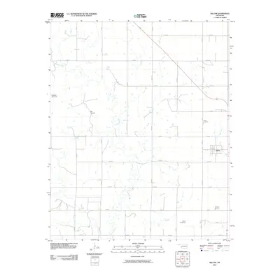 2010 Willow2010 Print · USGSGreer County, Oklahoma, is shown in the early twenty-first century as a landscape of structured ranching and farming. Genealogists and local historians can trace family roots through the Willow Cemetery or explore landmarks like Haystack Mountain and James Travis Dam.
 - 2010 Map of Minnow Creek, 2010 Print
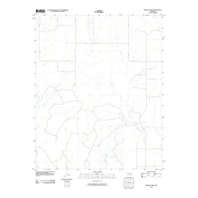 2010 Minnow Creek2010 Print · USGSBeckham County, Oklahoma, is shown here in the early twenty-first century, revealing a rural landscape defined by the section-line road grid. Researchers can trace the drainage of Minnow Creek and Deer Creek across routes like E 1320 Rd.
 - 2010 Map of Plainview, 2010 Print
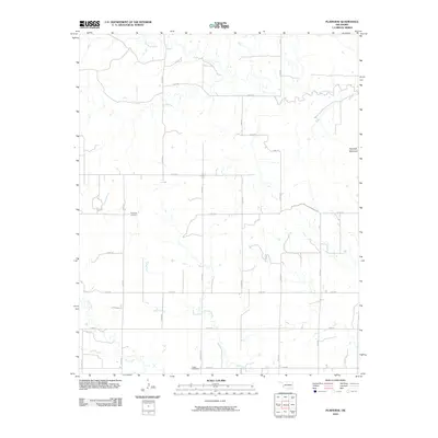 2010 Plainview2010 Print · USGSGreer County, Oklahoma, is documented here in the early twenty-first century as a landscape of steady agricultural roots and quiet landmarks. Genealogists can locate family sites near Plainview Cemetery or trace the geography around Haystack Mountain and Station Creek.
 - 2010 Map of Hester, 2010 Print
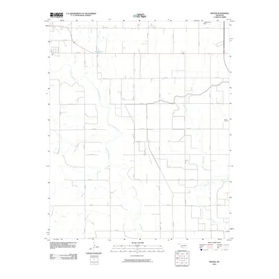 2010 Hester2010 Print · USGSOklahoma's southwestern ranchlands are captured here in the early twenty-first century, showing a landscape defined by the winding Salt Fork Red River. Genealogists and local historians can locate the Hester Cemetery and trace the drainage of Bitter Creek across the section lines.
 - 2010 Map of Retrop SE, 2010 Print
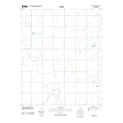 2010 Retrop SE2010 Print · USGSOklahoma's rural landscape is captured here in the early twenty-first century, centered on the winding North Fork Red River. Researchers can trace local land divisions and water management features like the Upper Elk Creek Site 41 Dam and Oknoname 075001 Reservoir.
 - 2010 Map of Lake Altus, 2010 Print
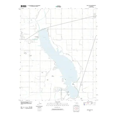 2010 Lake Altus2010 Print · USGSGreer County at the turn of the millennium shows the intersection of the Oklahoma plains and the Wichita Mountains. Genealogists and researchers can locate Granite Cemetery and Quartz Cemetery near the shores of Lake Altus and the settlement of Lugert.
 - 2010 Map of Duke, 2010 Print
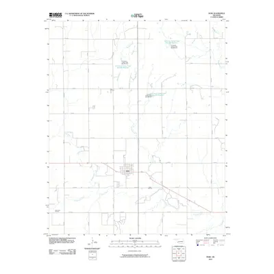 2010 Duke2010 Print · USGSDuke and its surrounding Jackson County plains are documented here in the early 2000s, showing a landscape shaped by rural agriculture and water management. Genealogists and local historians can locate Rock Cemetery, Cottonwood Cemetery, and the various reservoirs along Turkey Creek.
 - 2010 Map of Blair, 2010 Print
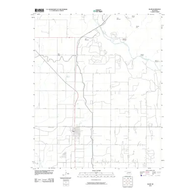 2010 Blair2010 Print · USGSSouthwest Oklahoma's agricultural plains meet the rugged peaks of the Wichita Mountains in the early twenty-first century. Researchers can trace the layout of Blair and City View or locate natural landmarks like Mount Lugert and Devils Canyon along the river.
 - 2010 Map of Granite, 2010 Print
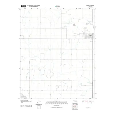 2010 Granite2010 Print · USGSThe community of Granite sits at the base of several granite peaks during the early 2000s. Genealogists and researchers can trace local landmarks like Rock Cemetery, Camp Kate Portwood, and the heights of Headquarters Mountain.
 - 2010 Map of Lake Creek, 2010 Print
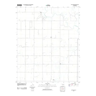 2010 Lake Creek2010 Print · USGSGreer County, Oklahoma, is shown here as a landscape of river bends and prairie roads during the early twenty-first century. Genealogists and local historians can locate the Pleasant Valley Cemetery or trace the early footprint of the Moravia Oil and Gas Field.
 - 2010 Map of Vinson, 2010 Print
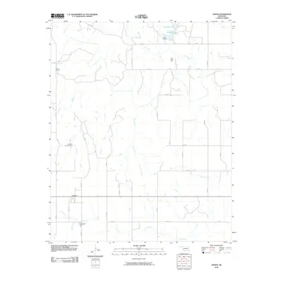 2010 Vinson2010 Print · USGSVinson and the surrounding Harmon County ranchlands are captured here during the first decade of the 2000s. Researchers can locate family heritage sites like Hackberry Cemetery and Cave Creek Cemetery or trace water management at Doc Hollis Lake and the Russell Overton Dam.
 - 2010 Map of Reed, 2010 Print
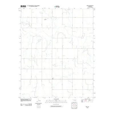 2010 Reed2010 Print · USGSGreer County, Oklahoma, is shown in the early twenty-first century as a landscape of structured ranching and prairie drainages. Genealogists and local historians can locate the community of Reed and family-named landmarks like the Kenneth Houck Dam on Deer Creek.
 - 2010 Map of Warren, 2010 Print
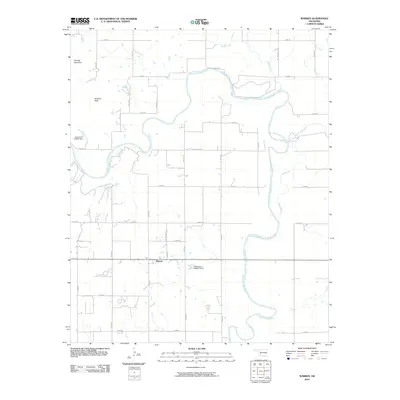 2010 Warren2010 Print · USGSSouthwestern Oklahoma's ranching country is captured here during the early twenty-first century, centered on the community of Warren. Local researchers can trace the course of the North Fork Red River and locate landmarks like Soldiers Peak and Bar W Ranch Rd.
 - 2010 Map of Russell, 2010 Print
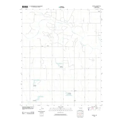 2010 Russell2010 Print · USGSOklahoma's southwestern plains come into focus in the early twenty-first century, centered on the community of Russell. Genealogists and historians can trace family roots at Wildcat Cemetery, Langford Cemetery, and the multiple reservoirs along Turkey Creek.
 - 2010 Map of Martha, 2010 Print
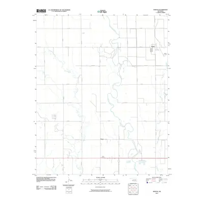 2010 Martha2010 Print · USGSOklahoma's southwestern plains come into focus in 2010, centered on the agricultural settlements of Martha and Victory. Researchers can trace local heritage at Martha Cemetery and Victory Cemetery or follow the meandering path of the Salt Fork Red River.
 - 2010 Map of McQueen, 2010 Print
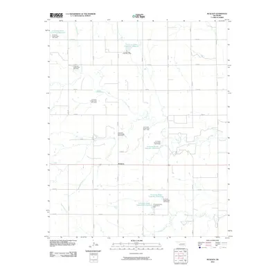 2010 McQueen2010 Print · USGSOklahoma's southwestern plains appear here in the early twenty-first century, showing a landscape defined by industrial-scale water management. Researchers can trace the extensive network of dams and reservoirs along Turkey Creek, including Tri-County Turkey Creek Site 21 Reservoir and the settlement of McQueen.
 - 2010 Map of Mangum North, 2010 Print
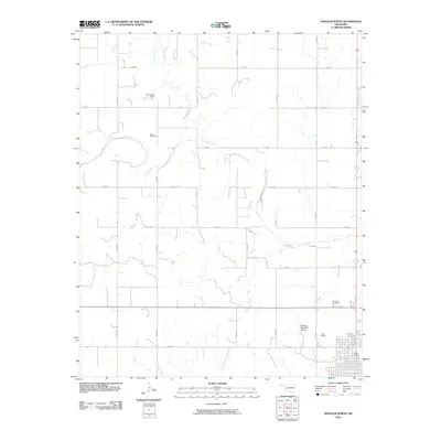 2010 Mangum North2010 Print · USGSGreer County just north of Mangum shows a landscape of steady growth and rural heritage in the early twenty-first century. Genealogists and local historians can locate Marie Cemetery, the W C Drake Dam, and the northern aviation hub at Mangum Municipal Airport.
 - 2010 Map of Mangum South, 2010 Print
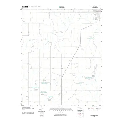 2010 Mangum South2010 Print · USGSThe southern outskirts of Greer County's seat are captured here in 2010 as the prairie landscape transitions into a managed water network. Researchers can trace family history at Riverside Cemetery or study the extensive reservoir system including the J L Briscoe Dam.
 - 2010 Map of Bull Creek, 2010 Print
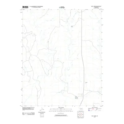 2010 Bull Creek2010 Print · USGSBeckham County's rural prairie landscape is captured here in the early twenty-first century, showing the enduring grid of section-line roads and creek drainages. Genealogists and local historians can locate the Vannerson Cemetery and trace the influence of water on the land at the Art Kane Dam.
 - 2010 Map of Madge, 2010 Print
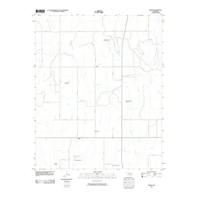 2010 Madge2010 Print · USGSHarmon County's agricultural heartland is documented here in the early twenty-first century near the Texas border. Genealogists and local historians can trace family-named landmarks like the Fred Yarbrough Reservoir and Independence Cemetery or the site of Madge.
 - 2012 Map of Retrop SE, 2012 Print
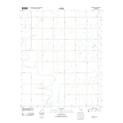 2012 Retrop SE2012 Print · USGSWestern Oklahoma farmland meets the winding N Fork Red River in this detailed 2010s-era topographic survey. Researchers can trace rural property boundaries along E1310 Rd and locate the Twin Lakes Ranch Airport near the river's edge.
 - 2012 Map of Willow, 2012 Print
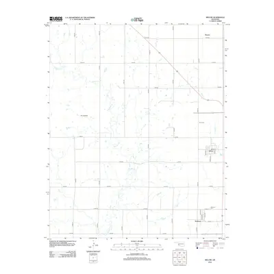 2012 Willow2012 Print · USGSGreer County at the start of the twenty-first century reveals a resilient agricultural landscape centered on the small hubs of Willow and Brinkman. Genealogists and local historians can trace family locations near Willow Cem, Brinkman Cem, and the landmark known as The Haystack.
 - 2012 Map of Lake Creek, 2012 Print
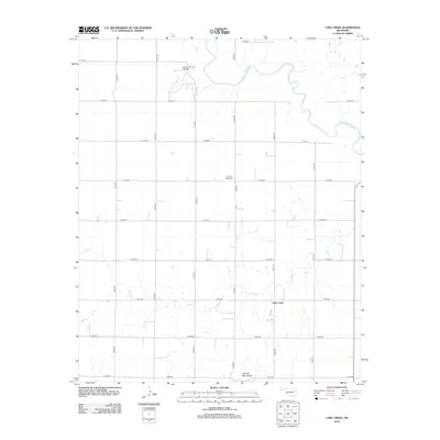 2012 Lake Creek2012 Print · USGSGreer County, Oklahoma, is shown in the early twenty-first century as a landscape shaped by petroleum extraction and traditional agriculture. Researchers can trace family history at Pleasant Valley Cem or explore the reach of the Moravia Oil and Gas Field and the banks of the N Fork Red River.
 - 2012 Map of Plainview, 2012 Print
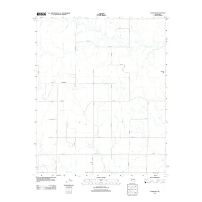 2012 Plainview2012 Print · USGSGreer County, Oklahoma, is shown in the early twenty-first century as a landscape of grid-patterned section roads and quiet rural crossroads. Researchers can trace local lineage at Plainview Cem or Jester Cem and locate landmarks like Haystack Mtn.
 - 2012 Map of Blair, 2012 Print
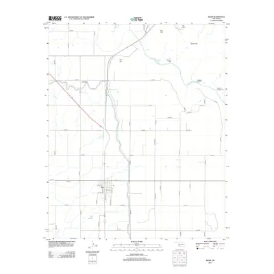 2012 Blair2012 Print · USGSBlair and the surrounding Jackson County plains are captured here in the early twenty-first century as agricultural tradition meets the Wichita Mountains. Researchers can trace local genealogy at Blair Cem and explore the rugged geology of Devils Canyon and Mtn Lugert.
Showing maps 1-25 of 80
Top cities of Greer County
Frequently asked questions
- What are the different types of historical maps available for Greer County?
- What is the oldest map of Greer County?
- Where can I purchase historical maps of Greer County for my home or office?
- Where can I download high-res historical maps of Greer County?
- Are there historical topographic maps available for Greer County?
- Is there historical aerial imagery available for Greer County?
- Where are historical maps of Greer County sourced from?