Old Maps of Ponca City, Oklahoma for Genealogy
Trace your family roots with 36 historic maps of Ponca City. These high-res maps reveal old neighborhoods, homesites, landmarks, and streets — helping you uncover where your ancestors lived and how the area evolved over time.
- Explore historic neighborhoods: Identify where your relatives may have lived in the 1800s or 1900s.
- Compare maps over time: Trace the changes in streets, buildings, and landmarks for multi-generational research.
- Perfect for genealogy & ancestry research: Used by family historians and researchers to map out lineage and migration.
These maps are an incredible resource for exploring your personal connection to Ponca City's past.
Ponca City, OK maps
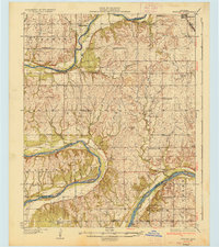
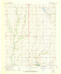
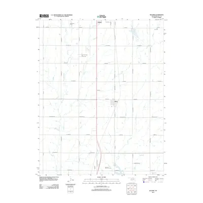
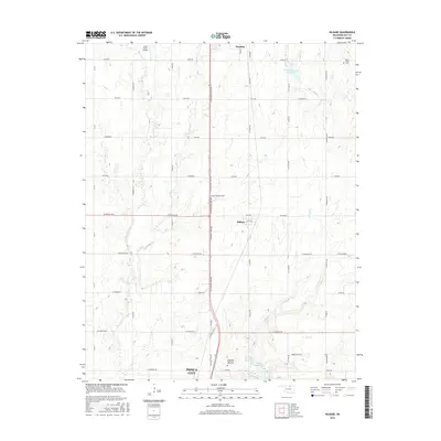
(36)- 1935 Map of Kaw
 1935 Kaw1935 Print · USGSNorthern Oklahoma's river valleys and rural school districts are captured here in the mid-1930s as the Santa Fe railroad shaped the local economy. Researchers can trace vanished rural hubs and landmarks like Chilocco, Maple Grove Ch, and Uncas.2 unique versions available
 - 1936 Map of Belford
 1936 Belford1936 Print · USGSOsage and Noble counties come into focus in the mid-1930s, showing a rural landscape defined by the winding Arkansas River. Genealogists and local historians can trace numerous country school sites like Braden Sch and Pleasant Valley Sch, alongside the Atchison Topeka and Santa Fe Ry through Apperson.3 unique versions available
 - 1955 Map of Enid, 1966 Print
 1955 Enid1966 Print · USGSNorth-central Oklahoma's transition from open plains to the blackjack hills of the Osage Indian Reservation is captured in the mid-1950s. Researchers can trace the development of the Naval Reserve Oil Field, the grounds of Vance AFB, and the early footprints of Tulsa and Stillwater.4 unique versions available
 - 1958 Map of Enid
 1958 Enid1958 Print · USGSNorthern Oklahoma is mapped here in the late fifties, showcasing a dense network of petroleum production and historic tribal lands. Researchers can trace the legacy of the Osage Indian Reservation, early energy hubs like the Cushing Oil Field, and the Chilocco Indian Agricultural School.2 unique versions available
 - 1963 Map of Charley Creek, 1964 Print
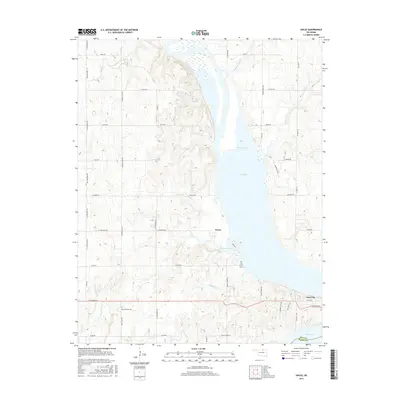
 1963 Charley Creek1964 Print · USGSThe Arkansas River defines the border of Kay and Osage counties in the early 1960s, a landscape shaped by petroleum and rural community life. Researchers can trace family roots at Longwood Ch, Braden Sch, and the Big Bend Oil Field.4 unique versions available
 - 1963 Map of Uncas, 1965 Print
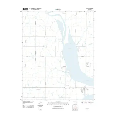
 1963 Uncas1965 Print · USGSThe Arkansas River valley in Kay County shows a landscape of rail-served settlements and early energy production in the early sixties. Trace the path of the Atchison Topeka and Santa Fe through Uncas and locate historical Oil Wells and the Oak Grove Cem.2 unique versions available
 - 1968 Map of Ponca City NW, 1969 Print
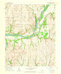
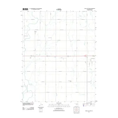
 1968 Ponca City NW1969 Print · USGSThe Kay County landscape during the late sixties is defined by a heavy rail presence and burgeoning oil production near the Arkansas River. Genealogists and historians can trace the foundations of rural Oklahoma through sites like Autwine, Union Sch, and the Round Grove Cem.2 unique versions available
 - 1968 Map of Kildare, 1970 Print
 1968 Kildare1970 Print · USGSKay County in the late sixties reveals a landscape shaped by petroleum production and the rail corridor. Researchers can trace the Northwest Kildare Oil and Gas Field and locate landmarks like Pleasant View Sch and Wolf Creek Cem.2 unique versions available
 - 1968 Map of Ponca City, 1970 Print
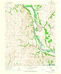
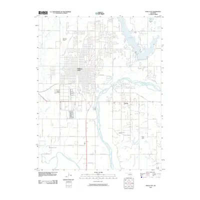
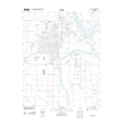
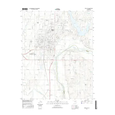
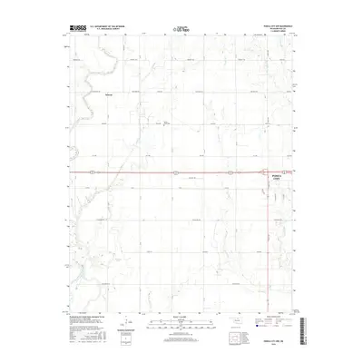
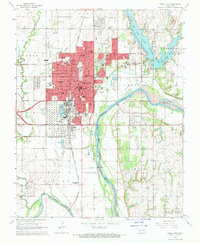 1968 Ponca City1970 Print · USGSPonca City and the surrounding Kay County prairies are captured here in the late sixties, highlighting a landscape shaped by petroleum and the Arkansas River. Researchers can locate family sites at St Marys Cem, trace the Atchison Topeka and Santa Fe rail lines, or find the White Eagle Station.2 unique versions available
 - 1985 Map of Ponca City
 1985 Ponca City1985 Print · USGSNorth-central Oklahoma during the mid-eighties shows a landscape shaped by petroleum and heavy rail. Trace the paths of the Atchison Topeka and Santa Fe through Ponca City or find local landmarks like Northern Oklahoma Junior College and Old Bliss.3 unique versions available
 - 1985 Map of Pawhuska, 1986 Print
 1985 Pawhuska1986 Print · USGSThe Osage Indian Reservation and its tribal capital at Pawhuska are seen here in the mid-1980s as the region's ranching and oil legacies matured. Genealogists and historians can trace family-named sites and vanished industrial tracks near Bigheart, Wynona, and Gray Horse.2 unique versions available
 - 2010 Map of Ponca City NW, 2010 Print
 2010 Ponca City NW2010 Print · USGSCovers Ponca City, including Autwine, Kay County, and other nearby areas
 - 2010 Map of Ponca City, 2010 Print
 2010 Ponca City2010 Print · USGSCovers Ponca City, including McCord, Osage County, and other nearby areas
 - 2010 Map of Kildare, 2010 Print
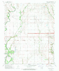
 2010 Kildare2010 Print · USGSCovers Ponca City, including Newkirk, Kildare, and other nearby areas
 - 2010 Map of Uncas, 2010 Print
 2010 Uncas2010 Print · USGSCovers Ponca City, including Kaw City, Uncas, and other nearby areas
 - 2010 Map of Charley Creek West, 2010 Print
 2010 Charley Creek West2010 Print · USGSCovers Ponca City, including McFadden Cove, Osage County, and other nearby areas
 - 2012 Map of Kildare, 2012 Print
 2012 Kildare2012 Print · USGSCovers Ponca City, including Newkirk, Kildare, and other nearby areas
 - 2012 Map of Ponca City NW, 2012 Print
 2012 Ponca City NW2012 Print · USGSCovers Ponca City, including Autwine, Kay County, and other nearby areas
 - 2012 Map of Ponca City, 2012 Print
 2012 Ponca City2012 Print · USGSCovers Ponca City, including McCord, Osage County, and other nearby areas
 - 2012 Map of Uncas, 2012 Print
 2012 Uncas2012 Print · USGSCovers Ponca City, including Kaw City, Uncas, and other nearby areas
 - 2012 Map of Charley Creek West, 2012 Print
 2012 Charley Creek West2012 Print · USGSCovers Ponca City, including McFadden Cove, Osage County, and other nearby areas
 - 2016 Map of Ponca City, 2016 Print
 2016 Ponca City2016 Print · USGSCovers Ponca City, including McCord, Osage County, and other nearby areas
 - 2016 Map of Kildare, 2016 Print
 2016 Kildare2016 Print · USGSCovers Ponca City, including Newkirk, Kildare, and other nearby areas
 - 2016 Map of Ponca City NW, 2016 Print
 2016 Ponca City NW2016 Print · USGSCovers Ponca City, including Autwine, Kay County, and other nearby areas
 - 2016 Map of Uncas, 2016 Print
 2016 Uncas2016 Print · USGSCovers Ponca City, including Kaw City, Uncas, and other nearby areas
Showing maps 1-25 of 36
Top cities near Ponca City
- Blackwell historical maps
- Tonkawa historical maps
- Newkirk historical maps
- Kaw City historical maps
- Marland historical maps
- Kildare historical maps
Frequently asked questions
- What are the different types of historical maps available for Ponca City?
- What is the oldest map of Ponca City?
- Where can I purchase historical maps of Ponca City for my home or office?
- Where can I download high-res historical maps of Ponca City?
- Are there historical topographic maps available for Ponca City?
- Is there historical aerial imagery available for Ponca City?
- Where are historical maps of Ponca City sourced from?