2000s (21st Century) Maps of Ponca City, Oklahoma
Explore 25 historic maps of Ponca City from the 2000s (21st Century). These maps offer a rare glimpse into what life looked like during the 2000s — showing old roads, neighborhoods, homes, and landmarks that have changed or disappeared over time.
Whether you're researching your family's past, planning a metal detecting trip, or studying how Ponca City's landscape evolved across the 2000s, these high-resolution maps are a powerful tool for exploring the history of this region.
- Focus on a specific era: All maps on this page are from the 2000s, giving you a focused view of this time period.
- See what’s changed: Compare century-old streets, trails, and buildings to today's modern landscape using overlays and satellite layers.
- Research with precision: Use these maps for genealogy, historical research, land use analysis, or educational projects.
- View, download, or print: Maps are fully viewable online in high resolution, and can be downloaded or printed for your own records.
Start exploring Ponca City's history through authentic maps from the 2000s. This is your window into the past.
Ponca City, OK maps
(25)- 2010 Map of Ponca City NW, 2010 Print
 2010 Ponca City NW2010 Print · USGSCovers Ponca City, including Autwine, Kay County, and other nearby areas
 - 2010 Map of Ponca City, 2010 Print
 2010 Ponca City2010 Print · USGSCovers Ponca City, including McCord, Osage County, and other nearby areas
 - 2010 Map of Kildare, 2010 Print
 2010 Kildare2010 Print · USGSCovers Ponca City, including Newkirk, Kildare, and other nearby areas
 - 2010 Map of Uncas, 2010 Print
 2010 Uncas2010 Print · USGSCovers Ponca City, including Kaw City, Uncas, and other nearby areas
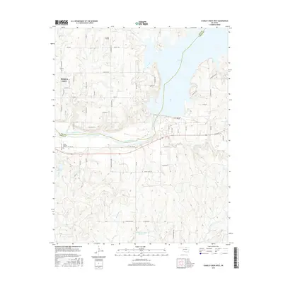
 - 2010 Map of Charley Creek West, 2010 Print
 2010 Charley Creek West2010 Print · USGSCovers Ponca City, including McFadden Cove, Osage County, and other nearby areas
 - 2012 Map of Kildare, 2012 Print
 2012 Kildare2012 Print · USGSCovers Ponca City, including Newkirk, Kildare, and other nearby areas
 - 2012 Map of Ponca City NW, 2012 Print
 2012 Ponca City NW2012 Print · USGSCovers Ponca City, including Autwine, Kay County, and other nearby areas
 - 2012 Map of Ponca City, 2012 Print
 2012 Ponca City2012 Print · USGSCovers Ponca City, including McCord, Osage County, and other nearby areas
 - 2012 Map of Uncas, 2012 Print
 2012 Uncas2012 Print · USGSCovers Ponca City, including Kaw City, Uncas, and other nearby areas
 - 2012 Map of Charley Creek West, 2012 Print
 2012 Charley Creek West2012 Print · USGSCovers Ponca City, including McFadden Cove, Osage County, and other nearby areas
 - 2016 Map of Ponca City, 2016 Print
 2016 Ponca City2016 Print · USGSCovers Ponca City, including McCord, Osage County, and other nearby areas
 - 2016 Map of Kildare, 2016 Print
 2016 Kildare2016 Print · USGSCovers Ponca City, including Newkirk, Kildare, and other nearby areas
 - 2016 Map of Ponca City NW, 2016 Print
 2016 Ponca City NW2016 Print · USGSCovers Ponca City, including Autwine, Kay County, and other nearby areas
 - 2016 Map of Uncas, 2016 Print
 2016 Uncas2016 Print · USGSCovers Ponca City, including Kaw City, Uncas, and other nearby areas
 - 2016 Map of Charley Creek West, 2016 Print
 2016 Charley Creek West2016 Print · USGSCovers Ponca City, including McFadden Cove, Osage County, and other nearby areas
 - 2018 Map of Ponca City, 2018 Print
 2018 Ponca City2018 Print · USGSCovers Ponca City, including McCord, Osage County, and other nearby areas
 - 2018 Map of Kildare, 2018 Print
 2018 Kildare2018 Print · USGSCovers Ponca City, including Newkirk, Kildare, and other nearby areas
 - 2018 Map of Ponca City NW, 2018 Print
 2018 Ponca City NW2018 Print · USGSCovers Ponca City, including Autwine, Kay County, and other nearby areas
 - 2018 Map of Charley Creek West, 2018 Print
 2018 Charley Creek West2018 Print · USGSCovers Ponca City, including McFadden Cove, Osage County, and other nearby areas
 - 2018 Map of Uncas, 2018 Print
 2018 Uncas2018 Print · USGSCovers Ponca City, including Kaw City, Uncas, and other nearby areas
 - 2022 Map of Ponca City, 2022 Print
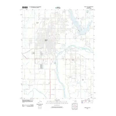
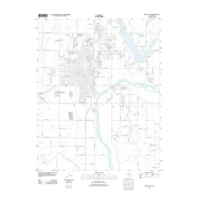
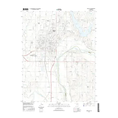
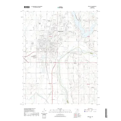
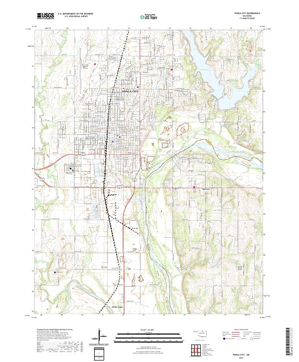 2022 Ponca City2022 Print · USGSPonca City and the surrounding Kay County prairies are captured here at the meeting of two great rivers. Genealogists and local historians can trace family locations near White Eagle, McCord, and the Ponca Indian Cem along the Arkansas River.
 - 2022 Map of Ponca City NW, 2022 Print
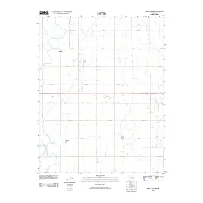
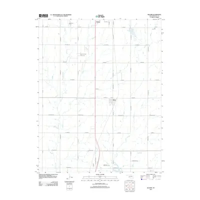
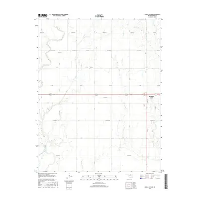
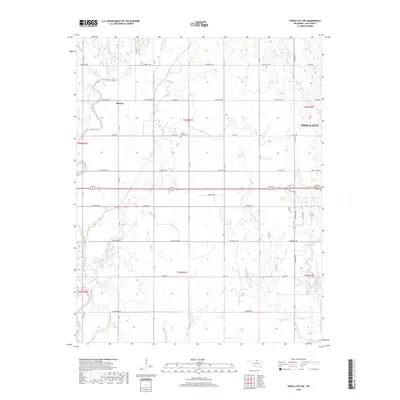
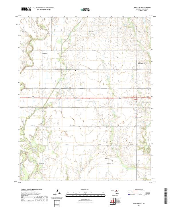 2022 Ponca City NW2022 Print · USGSKay County lands west of the city limits come into focus in this contemporary survey of the Oklahoma plains. Local researchers can trace old section lines and landmarks like Round Grove Cemetery, the settlement of Autwine, and the Salt Fork Arkansas River.
 - 2022 Map of Kildare, 2022 Print
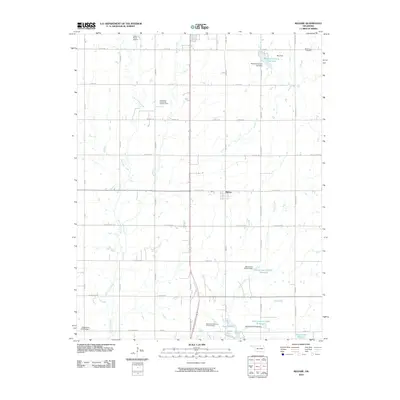
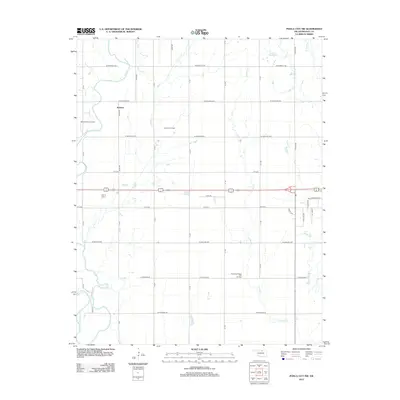
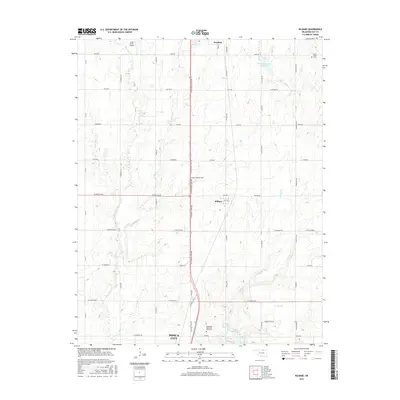
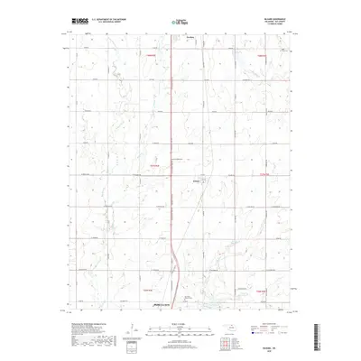
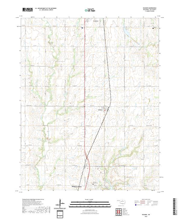 2022 Kildare2022 Print · USGSNorthern Oklahoma's prairie landscape unfolds north of Ponca City during the early 2020s. Researchers can locate family sites near the town of Kildare or trace the courses of Bois d'Arc Cr and Turkey Cr.
 - 2022 Map of Uncas, 2022 Print
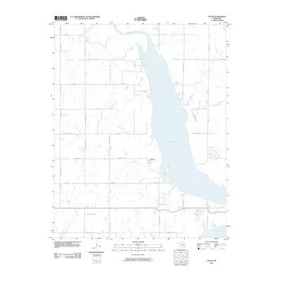
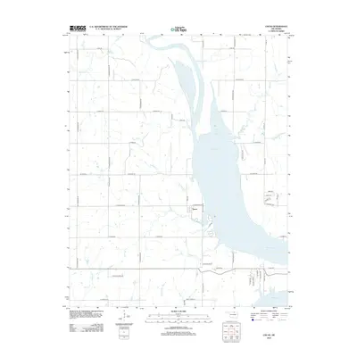
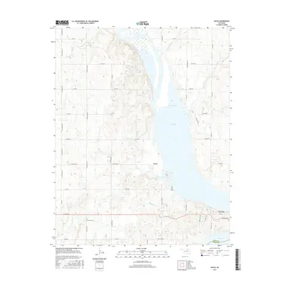
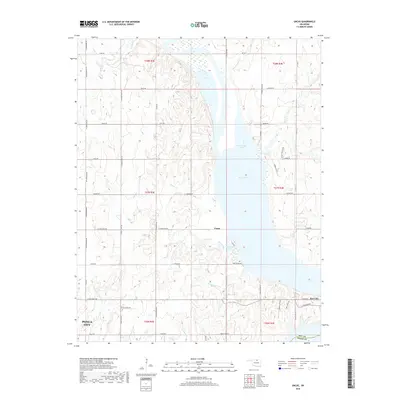
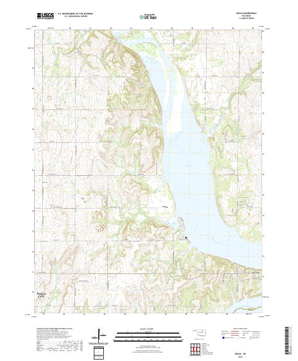 2022 Uncas2022 Print · USGSThe Arkansas River valley in Kay County underwent a total transformation as the waters of Kaw Lake reshaped the landscape. Researchers can trace the shoreline of Coon Creek Cove to find Uncas, the Oak Grove Cemetery, and the vicinity of Kaw City.
 - 2022 Map of Charley Creek West, 2022 Print
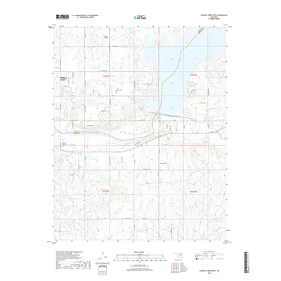
 2022 Charley Creek West2022 Print · USGSThe Kay and Osage county line comes alive in this 2020s survey of the river country east of Ponca City. Researchers can trace local lineage at Longwood Cem or explore the hydrologic landscape surrounding Kaw Lake and the Arkansas River.
End of results
Showing maps 1-25 of 25
Top cities near Ponca City
- Blackwell historical maps
- Tonkawa historical maps
- Newkirk historical maps
- Kaw City historical maps
- Marland historical maps
- Kildare historical maps
Frequently asked questions
- What are the different types of historical maps available for Ponca City?
- What is the oldest map of Ponca City?
- Where can I purchase historical maps of Ponca City for my home or office?
- Where can I download high-res historical maps of Ponca City?
- Are there historical topographic maps available for Ponca City?
- Is there historical aerial imagery available for Ponca City?
- Where are historical maps of Ponca City sourced from?