2020s Maps of Kingfisher County, Oklahoma
Explore 25 historic maps of Kingfisher County from the 2020s. These maps offer a rare glimpse into what life looked like during the 2020s — showing old roads, neighborhoods, homes, and landmarks that have changed or disappeared over time.
Whether you're researching your family's past, planning a metal detecting trip, or studying how Kingfisher County's landscape evolved across the 2020s, these high-resolution maps are a powerful tool for exploring the history of this region.
- Focus on a specific era: All maps on this page are from the 2020s, giving you a focused view of this time period.
- See what’s changed: Compare century-old streets, trails, and buildings to today's modern landscape using overlays and satellite layers.
- Research with precision: Use these maps for genealogy, historical research, land use analysis, or educational projects.
- View, download, or print: Maps are fully viewable online in high resolution, and can be downloaded or printed for your own records.
Start exploring Kingfisher County's history through authentic maps from the 2020s. This is your window into the past.
Kingfisher County, OK maps
(25)- 2022 Map of Hennessey, 2022 Print
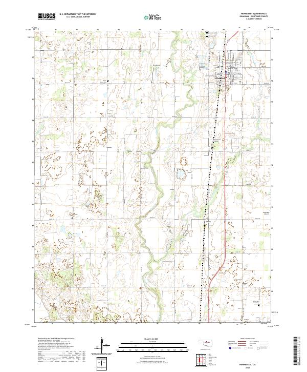 2022 Hennessey2022 Print · USGSThe northern Oklahoma plains around the turn of the twenty-first century are defined here by agricultural grids and aviation hubs. Genealogists can trace family names at Maple Grove Cem and Harmony Cem or locate the small settlement of Jacks.
 - 2022 Map of Barr, 2022 Print
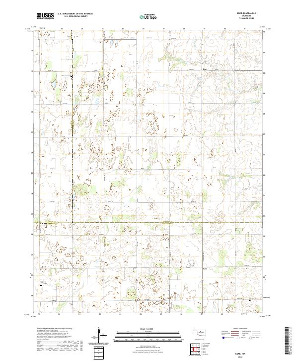 2022 Barr2022 Print · USGSThe tri-county border area of Garfield, Major, and Kingfisher counties is mapped here in the early 2020s. Genealogists can locate family burial sites at Wildwood Cem and Morrison Cem, or trace the small communities of Barr and Cato.
 - 2022 Map of Lovell, 2022 Print
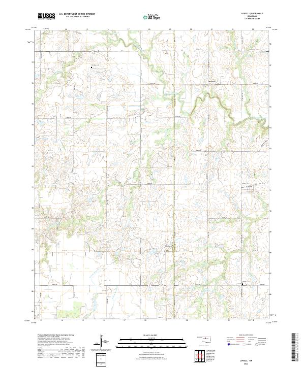 2022 Lovell2022 Print · USGSOklahoma's prairie landscape on the Kingfisher and Logan County line is shown here in the early twenty-first century. Genealogists and local researchers can locate landmarks like Sheridan Cem, the small community of Lovell, and the many branches of Skeleton Creek.
 - 2022 Map of Bison, 2022 Print
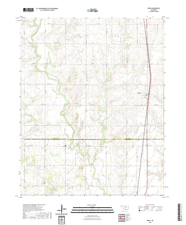 2022 Bison2022 Print · USGSBison and the surrounding Oklahoma prairie are captured in this recent survey of the Garfield and Kingfisher county line. Genealogists and local historians can trace family locations near Hope Cem or follow the paths of Hell and Gone Cr and Buffalo Springs.
 - 2022 Map of Parvin, 2022 Print
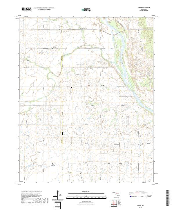 2022 Parvin2022 Print · USGSThe rural borders of Kingfisher and Blaine counties are captured here in the early twenty-first century, centered on the settlement of Parvin. Genealogists can trace family heritage through several small burial sites like Holcomb - Cook Cem, Parvin Cem, and East Cooper Cem.
 - 2022 Map of Marshall West, 2022 Print
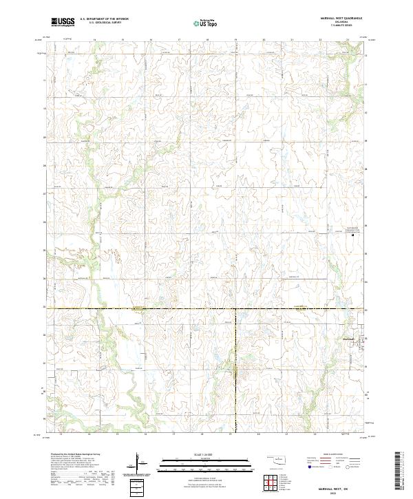 2022 Marshall West2022 Print · USGSOklahoma's northern plains are documented here at the meeting point of three counties in the early twenty-first century. Genealogists can locate the North Marshall IOOF Cemetery and trace the drainage patterns of Skeleton Cr and Wolf Cr.
 - 2022 Map of Steinerts Lake, 2022 Print
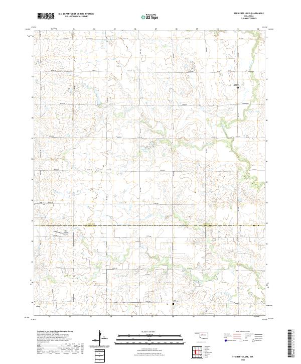 2022 Steinerts Lake2022 Print · USGSThe rural expanse between Garfield and Kingfisher Counties is documented here in the early 2020s, showing a landscape defined by seasonal creeks and section-line roads. Researchers can locate family heritage sites at Pleasant Valley Cem or Lyon Valley Cem and trace the drainage patterns of Skeleton Cr.
 - 2022 Map of Union, 2022 Print
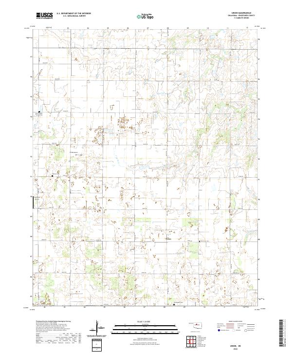 2022 Union2022 Print · USGSThe rural expanse of Kingfisher County is captured here in the early twenty-first century, centered on the community of Union. Local historians can trace family roots through Saint Joseph's Catholic Cem or Oak Grove Cem and locate aviation sites like Haymaker Airport.
 - 2022 Map of Ames, 2022 Print
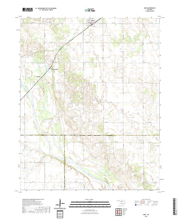 2022 Ames2022 Print · USGSMajor County at the start of the 2020s shows a landscape of steady agriculture and river-fronted settlements. Genealogists can trace property lines near Ames or locate family sites around Crystal Lakes and the Cimarron River.
 - 2022 Map of Omega, 2022 Print
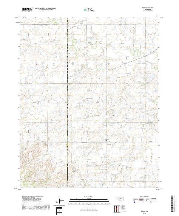 2022 Omega2022 Print · USGSThe Kingfisher and Blaine county line in central Oklahoma is shown here in its modern rural character. Researchers can locate family landmarks like Zion Cem, the settlement of Altona, and the prominent rise of Cheyenne Butte.
 - 2022 Map of Piedmont, 2022 Print
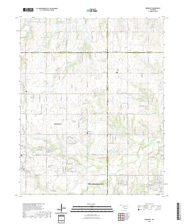 2022 Piedmont2022 Print · USGSPiedmont and the northwestern edges of the Oklahoma City metro area are captured here during a period of rapid suburban growth. Researchers can trace family sites at Saint Patrick Cem or locate the Caribou Airport near the banks of Deer Cr.
 - 2022 Map of Loyal SE, 2022 Print
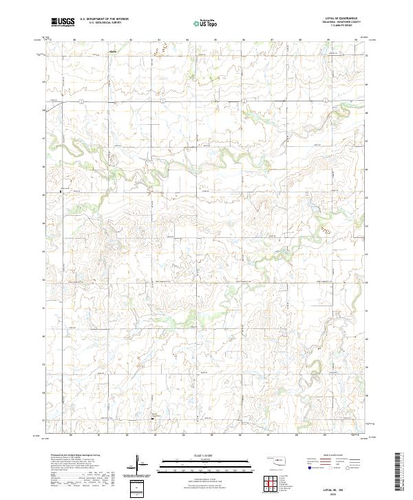 2022 Loyal SE2022 Print · USGSKingfisher County's agricultural heartland is captured here in the early twenty-first century, showcasing a landscape of section-line roads and prairie streams. Researchers can locate significant genealogical sites like Indian Cem and Mount Pisgah Cem or trace the rural settlement at Alpha.
 - 2022 Map of Porcupine Butte, 2022 Print
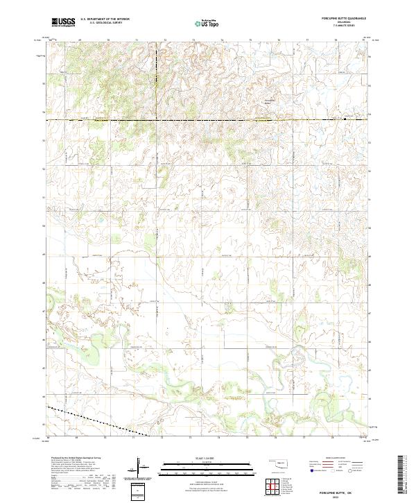 2022 Porcupine Butte2022 Print · USGSAs Oklahoma modernizes, this landscape at the junction of Blaine, Kingfisher, and Canadian counties remains defined by the winding N Canadian River. Researchers can trace old section lines and family land near Porcupine Butte or locate the historic Salem Cem.
 - 2022 Map of Loyal NW, 2022 Print
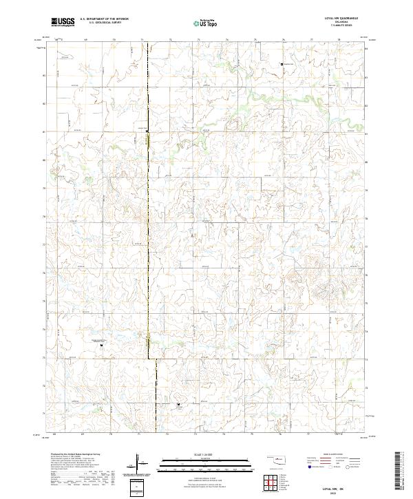 2022 Loyal NW2022 Print · USGSThe Oklahoma plains of Kingfisher and Blaine counties are mapped here in the early 2020s, showing a landscape defined by water and memory. Researchers can locate family roots at the Omega Seventh Day Adventist Cem, Venable Cem, and Lorenz Cem along the winding banks of Otter Cr.
 - 2022 Map of Crescent NW, 2022 Print
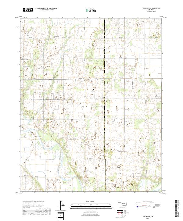 2022 Crescent NW2022 Print · USGSThe Kingfisher and Logan County borderlands are captured here in the early 2020s, showcasing a landscape shaped by the Cimarron River. Genealogists can locate family-named burial grounds like Zion Community Cem and the settlement of Wandel.
 - 2022 Map of Loyal, 2022 Print
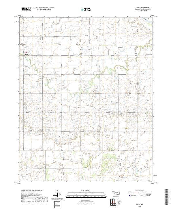 2022 Loyal2022 Print · USGSKingfisher County's agricultural prairie is documented here in the early 2020s, centered on the settlement of Loyal. Researchers can locate several family and community burial sites, including Forest Home Cem, Greenwood Cem, and the small community at Oneida.
 - 2022 Map of Kingfisher NE, 2022 Print
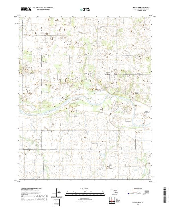 2022 Kingfisher NE2022 Print · USGSKingfisher County in the early twenty-first century remains defined by the wide Cimarron River and its grid of rural section roads. Genealogists and local historians can trace legacy sites like Oak Grove Cem, Lincoln Cem, and the waters of Bird Cr.
 - 2022 Map of Kingfisher SE, 2022 Print
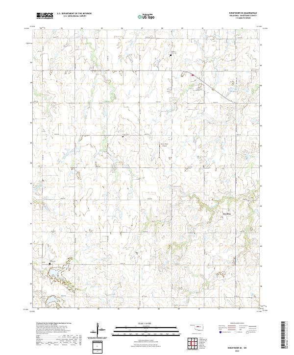 2022 Kingfisher SE2022 Print · USGSOklahoma's prairie landscapes in Kingfisher County are documented here during a period of steady rural character. Genealogists and local historians can trace family roots through sites like Clear Creek Cemetery, the settlement of Reeding, and Dave's Place Airport.
 - 2022 Map of Okarche, 2022 Print
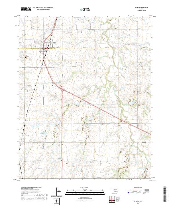 2022 Okarche2022 Print · USGSOkarche sits on the county line in the early 2020s, anchoring a landscape of family-named cemeteries and modern water management. Genealogists can trace sites like Holy Trinity Cem and Beecham Cem while following the path of Uncle Johns Cr.
 - 2022 Map of El Reno NE, 2022 Print
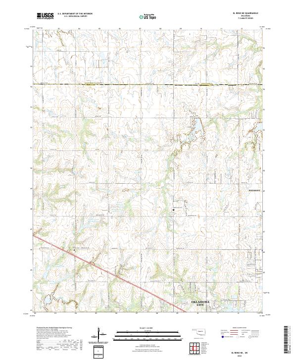 2022 El Reno NE2022 Print · USGSThe northern edge of Oklahoma City meets the developing residential corridors of Piedmont in the early twenty-first century. Genealogists and local historians can trace family locations near the Mathewson Cem, Palmer Cem, and the waters of Uncle Johns Creek.
 - 2022 Map of Kingfisher, 2022 Print
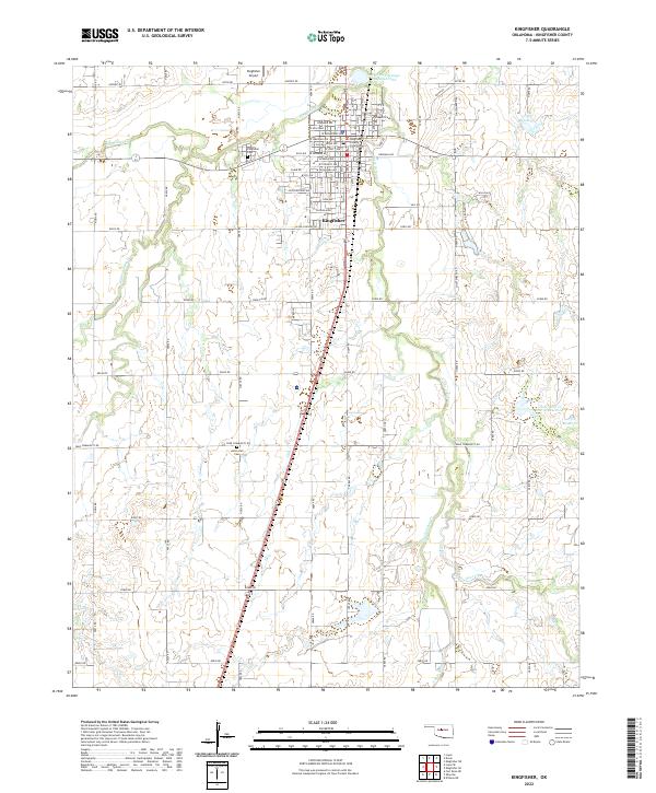 2022 Kingfisher2022 Print · USGSThe plains of central Oklahoma unfold in this recent survey of the Kingfisher area. Researchers can locate the Kingfisher County Courthouse, trace the local water network near Uncle Johns Cr, and find family sites at Union Hall Cem.
 - 2022 Map of Dover, 2022 Print
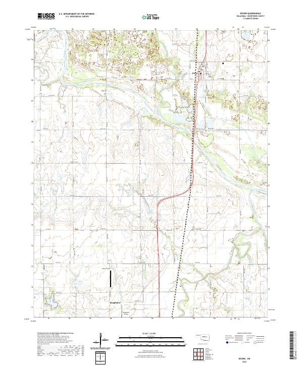 2022 Dover2022 Print · USGSDover and the surrounding Kingfisher County prairies are captured here in the early twenty-first century as they border the wide Cimarron River. Researchers can trace local landmarks like Dover Cem, S Chisholm Trl, and the nearby White Airport.
 - 2022 Map of Fort Reno NE, 2022 Print
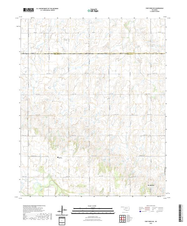 2022 Fort Reno NE2022 Print · USGSThe rural agricultural border between Canadian and Kingfisher counties is captured here just north of the N Canadian River. Researchers can locate the Canadian Valley Cem and follow the path of Winter Camp Cr through the rolling prairie.
 - 2022 Map of Lacey, 2022 Print
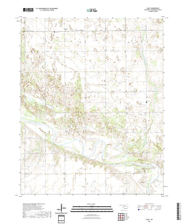 2022 Lacey2022 Print · USGSKingfisher County's agricultural heartland is documented here in the early 2020s, centered on the rural community of Lacey. Genealogists and local historians can trace family locations near the Lacey Cem, Wilhite Cem, and the wide banks of the Cimarron River.
 - 2022 Map of Cashion, 2022 Print
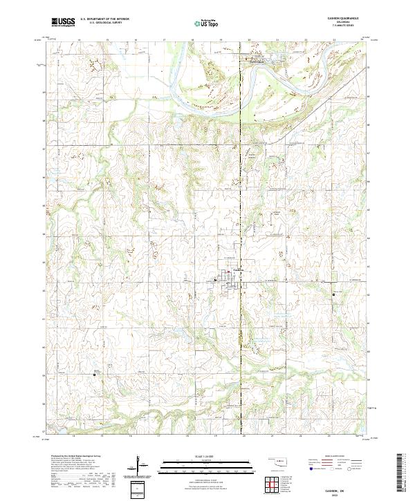 2022 Cashion2022 Print · USGSThe borderlands of Kingfisher and Logan Counties are captured here in the early twenty-first century, centered on the crossroads of Cashion. Researchers can locate family sites near Mount Zion Cem or trace the winding course of the Cimarron River past Twin Lakes.
End of results
Showing maps 1-25 of 25
Top cities of Kingfisher County
Frequently asked questions
- What are the different types of historical maps available for Kingfisher County?
- What is the oldest map of Kingfisher County?
- Where can I purchase historical maps of Kingfisher County for my home or office?
- Where can I download high-res historical maps of Kingfisher County?
- Are there historical topographic maps available for Kingfisher County?
- Is there historical aerial imagery available for Kingfisher County?
- Where are historical maps of Kingfisher County sourced from?