2000-2009 Maps of Kingfisher County, Oklahoma
Explore 21 historic maps of Kingfisher County from 2000-2009. These maps offer a rare glimpse into what life looked like during the 2000s — showing old roads, neighborhoods, homes, and landmarks that have changed or disappeared over time.
Whether you're researching your family's past, planning a metal detecting trip, or studying how Kingfisher County's landscape evolved across the 2000s, these high-resolution maps are a powerful tool for exploring the history of this region.
- Focus on a specific era: All maps on this page are from the 2000s, giving you a focused view of this time period.
- See what’s changed: Compare century-old streets, trails, and buildings to today's modern landscape using overlays and satellite layers.
- Research with precision: Use these maps for genealogy, historical research, land use analysis, or educational projects.
- View, download, or print: Maps are fully viewable online in high resolution, and can be downloaded or printed for your own records.
Start exploring Kingfisher County's history through authentic maps from the 2000s. This is your window into the past.
Kingfisher County, OK maps
(21)- 2009 Map of Bison, 2009 Print
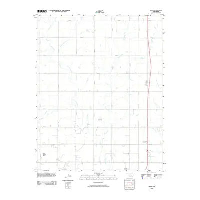 2009 Bison2009 Print · USGSGarfield County's agricultural heartland is documented here in the early twenty-first century, showing a landscape of section-line roads and creek drainages. Researchers can locate family burial sites at Hope Cemetery or trace private aviation via Miller Landing Strip.
 - 2009 Map of Barr, 2009 Print
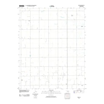 2009 Barr2009 Print · USGSIn the early twenty-first century, this corner of Kingfisher County remains a dedicated agricultural landscape organized by a rigorous section-line grid. Researchers can locate legacy sites like the Dunbar School and family landmarks such as Wildwood Cemetery.
 - 2009 Map of Ames, 2009 Print
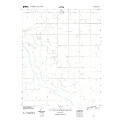 2009 Ames2009 Print · USGSThe rural town of Ames and the surrounding Oklahoma prairie are captured here in the early twenty-first century. Genealogists and local historians can trace the precise section-line roads and water features like Silver Lake and the Cimarron River.
 - 2009 Map of Cashion, 2009 Print
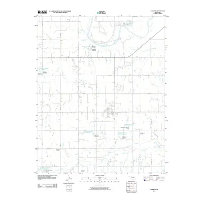 2009 Cashion2009 Print · USGSCashion and the surrounding Oklahoma prairie are captured here in the first decade of the millennium, showing a landscape shaped by oil and water. Researchers can trace local history at Mount Zion Cemetery or locate the industrial footprint of the West Edmond Oil Field and Twin Lakes.
 - 2009 Map of Kingfisher NE, 2009 Print
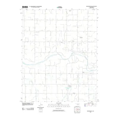 2009 Kingfisher NE2009 Print · USGSKingfisher County at the turn of the 21st century remains a landscape of section lines and river bends. Family historians can trace local roots at Wanamaker Cemetery and Lincoln Cemetery, or locate specific river crossings like Gould Bridge on the Cimarron River.
 - 2009 Map of Kingfisher, 2009 Print
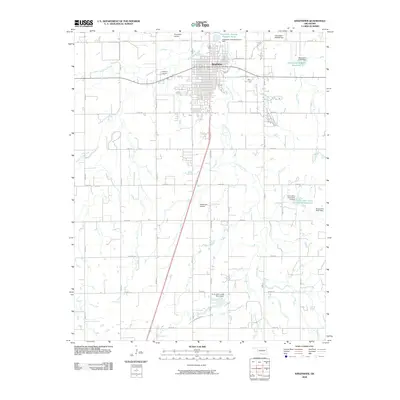 2009 Kingfisher2009 Print · USGSKingfisher sits at the center of this 2009 Oklahoma survey, surrounded by a rural landscape of section roads and winding creeks. Researchers can trace the town's modern infrastructure and community sites like Kingfisher Cemetery, Reherman Airport, and Uncle Johns Creek.
 - 2009 Map of Hennessey, 2009 Print
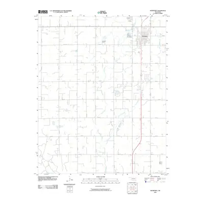 2009 Hennessey2009 Print · USGSHennessey and the surrounding plains of Kingfisher County are shown here in the early twenty-first century, structured by a classic prairie road grid. Genealogists and local historians can locate several burial grounds including Calvary Cemetery and Evans and Burns Cemetery, or trace the banks of the Cimarron River.
 - 2009 Map of Loyal SE, 2009 Print
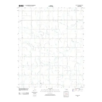 2009 Loyal SE2009 Print · USGSOklahoma's prairie landscape in the early twenty-first century is defined by its deep agricultural roots and section-line grids. Genealogists and local historians can locate rural burial sites like Indian Cemetery and Mount Pisgah Cemetery along the banks of Kingfisher Creek.
 - 2009 Map of Porcupine Butte, 2009 Print
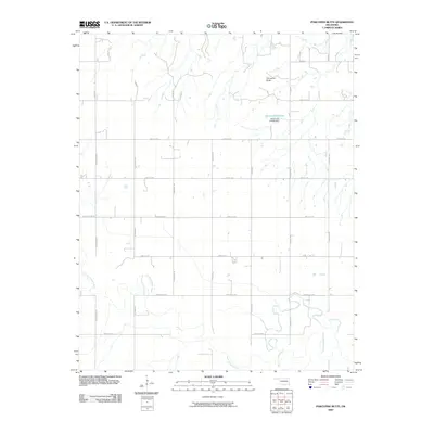 2009 Porcupine Butte2009 Print · USGSCanadian County in the early twenty-first century is defined by the winding North Canadian River and a precise grid of rural section roads. Genealogists and local historians can trace property boundaries and access routes near Porcupine Butte and Oknoname 9 Lake.
 - 2009 Map of Steinerts Lake, 2009 Print
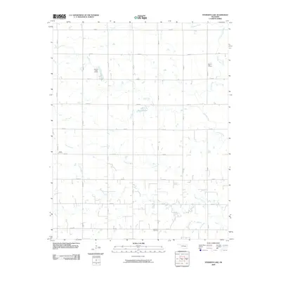 2009 Steinerts Lake2009 Print · USGSGarfield County at the turn of the millennium remains a rural landscape of section roads and meandering prairie creeks. Genealogists and local historians can locate early burial sites like Pleasant Valley Cemetery and Lyon Valley Cemetery among the waters of Skeleton Creek.
 - 2009 Map of Crescent NW, 2009 Print
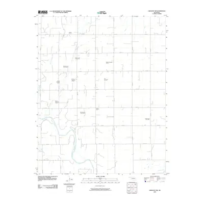 2009 Crescent NW2009 Print · USGSKingfisher County's agricultural and energy-producing landscape is meticulously documented here during the early twenty-first century. Genealogists and local historians can pinpoint Oak Vale Cemetery, the Sooner Trend Oil Field, and several water control sites along East Fork Sooner Creek.
 - 2009 Map of Loyal NW, 2009 Print
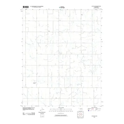 2009 Loyal NW2009 Print · USGSKingfisher County remains a landscape of deep-rooted agricultural tradition in the early twenty-first century. Genealogists can trace family footprints across this section-line grid at Omega Cemetery, Lorenz Cemetery, and the banks of Otter Creek.
 - 2009 Map of Piedmont, 2009 Print
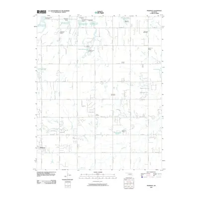 2009 Piedmont2009 Print · USGSThe growing community of Piedmont is captured in the early twenty-first century as suburban expansion meets a complex landscape of prairie watersheds. Genealogists and researchers can locate the Lockridge Cemetery, Kansas Cemetery, and trace the industrial footprint of the West Edmond Oil and Gas Field.
 - 2009 Map of Omega, 2009 Print
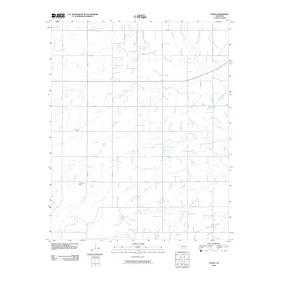 2009 Omega2009 Print · USGSKingfisher County at the turn of the millennium remains a landscape of traditional section lines and prairie drainage. Genealogists and local historians can locate Zion Cemetery or trace the natural course of Kingfisher Creek and the rise of Cheyenne Butte.
 - 2009 Map of Lacey, 2009 Print
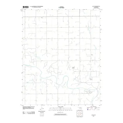 2009 Lacey2009 Print · USGSOklahoma prairie and river lands are documented here in the first decade of the millennium. Genealogists and local historians can locate Lacey Cemetery, Wilhite Cemetery, and private airfields like the Huff Landing Strip.
 - 2009 Map of Okarche, 2009 Print
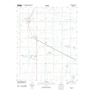 2009 Okarche2009 Print · USGSSettled on the border of Canadian and Kingfisher counties, this area shows the structured development of the Oklahoma plains in the early twenty-first century. Genealogists and local historians can locate several rural burial sites, including Okarche Cemetery and Beecham Cemetery, or trace the numerous water control projects along Uncle Johns Creek.
 - 2009 Map of El Reno NE, 2009 Print
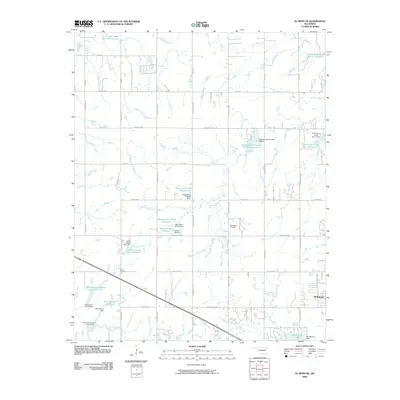 2009 El Reno NE2009 Print · USGSOklahoma's prairie landscape meets modern suburban growth in this early twenty-first-century survey of the Piedmont area. Local researchers can trace family-named landmarks and historic burials at Mathewson Cemetery, Palmer Cemetery, and the Isabel Loosen Rein Reservoir.
 - 2009 Map of Kingfisher SE, 2009 Print
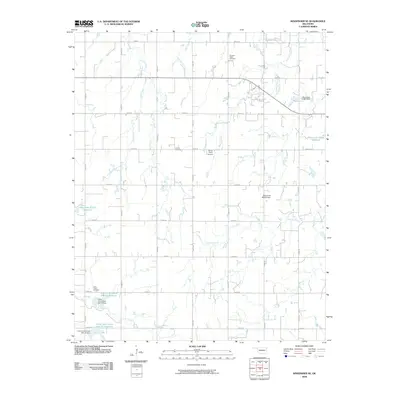 2009 Kingfisher SE2009 Print · USGSSoutheast of Kingfisher, this rural landscape reveals the intricate creek systems and local landmarks of the early twenty-first century. Researchers can locate family roots at Pleasant Valley Cemetery or Grimes Cemetery and trace water control sites like Oknoname 07306 Reservoir.
 - 2009 Map of Loyal, 2009 Print
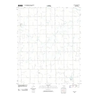 2009 Loyal2009 Print · USGSOklahoma's prairie landscape near the turn of the twenty-first century remains defined by its deep agricultural roots and section-line roads. Researchers can trace the path of Cooper Creek through the town of Loyal or locate family records at the Greenwood Cemetery.
 - 2009 Map of Lovell, 2009 Print
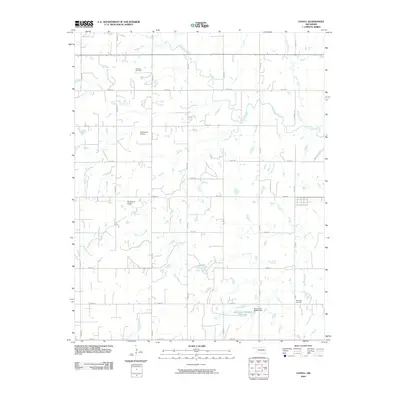 2009 Lovell2009 Print · USGSNorth of Guthrie in the early 2000s, this Logan County landscape is defined by the winding waters of Skeleton Creek and a dense network of section-line roads. Researchers can trace family sites near Sheridan Cemetery or the local runways of Siegmanns Airport.
 - 2009 Map of Union, 2009 Print
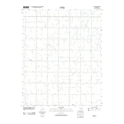 2009 Union2009 Print · USGSKingfisher County's agricultural grid remains remarkably preserved in this early 21st-century survey of the Oklahoma plains. Genealogists and local historians can pinpoint family burial sites at Oakview Cemetery and Wanamaker Cemetery or trace the winding paths of Spring Creek and Camp Creek.
End of results
Showing maps 1-21 of 21
Top cities of Kingfisher County
Frequently asked questions
- What are the different types of historical maps available for Kingfisher County?
- What is the oldest map of Kingfisher County?
- Where can I purchase historical maps of Kingfisher County for my home or office?
- Where can I download high-res historical maps of Kingfisher County?
- Are there historical topographic maps available for Kingfisher County?
- Is there historical aerial imagery available for Kingfisher County?
- Where are historical maps of Kingfisher County sourced from?