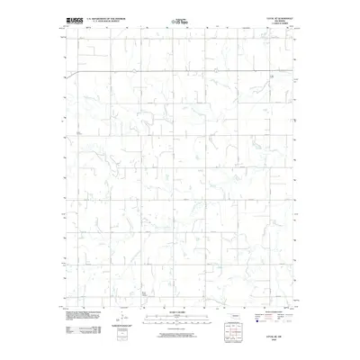
2009 Map of Loyal SE
USGS Topo · Published 2009About this map
Kingfisher Creek and Winter Camp Creek carve through the agricultural heart of Kingfisher County, defining the drainage patterns for this prairie landscape. The map reveals a strictly regulated section-line road network, where routes like Co Rd N2740 and E0870 Rd partition the land into the classic geometric grid of the American West. This 2009 survey highlights two significant burial sites that anchor the area's local history: the Indian Cemetery located in the western reaches and the Mount Pisgah Cemetery near the southern boundary. These sites, situated away from modern urban centers, reflect the enduring ancestral footprints and homesteading heritage of rural Oklahoma. The sparse distribution of structures suggests a landscape dedicated primarily to large-scale ranching or farming, where watercourses remain the most prominent natural landmarks.
Find a feature on this map
20 named features on this map. Tap any name to fly to it.
Don’t see what you’re looking for? This feature index may not catch every label — zoom into the map to look around manually.
Map Details
Editions of this 2009 Loyal SE Map
This is the sole edition of this map. No revisions or reprints were ever made.
Other maps of this area

1892 · Kingfisher
USGS Topo · 1:125,000

1893 · Fort Reno
USGS Topo · 1:62,500

1893 · Loyal
USGS Topo · 1:62,500

1895 · Kingfisher
USGS Topo · 1:125,000

1941 · Fort Reno
USGS Topo · 1:62,500

1942 · Fort Reno
USGS Topo · 1:62,500

1949 · Fort Reno
USGS Topo · 1:62,500

1954 · Oklahoma City
USGS Topo · 1:250,000

1955 · Clinton
USGS Topo · 1:250,000

1957 · Clinton
USGS Topo · 1:250,000