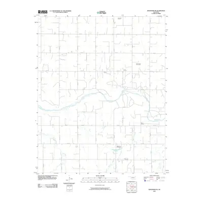
2009 Map of Kingfisher NE
USGS Topo · Published 2009About this map
The Cimarron River meanders across this rural Kingfisher County landscape, defining the central geography of a region dominated by a systematic grid of section roads. This 2009 survey captures the area's enduring agricultural character, where local history is anchored by several rural burial grounds. Genealogists may find value in the locations of Wanamaker Cemetery, Banner Cemetery, Lincoln Cemetery, and Bird Creek Cemetery, which serve as landmarks among the farmsteads.
Find a feature on this map
27 named features on this map. Tap any name to fly to it.
Don’t see what you’re looking for? This feature index may not catch every label — zoom into the map to look around manually.
Map Details
Editions of this 2009 Kingfisher NE Map
This is the sole edition of this map. No revisions or reprints were ever made.
Other maps of this area

1892 · Kingfisher
USGS Topo · 1:125,000

1893 · Lovell
USGS Topo · 1:62,500

1893 · Hennessey
USGS Topo · 1:62,500

1895 · Kingfisher
USGS Topo · 1:125,000

1954 · Oklahoma City
USGS Topo · 1:250,000

1955 · Enid
USGS Topo · 1:250,000

1956 · Hennessey
USGS Topo · 1:62,500

1957 · Oklahoma City
USGS Topo · 1:250,000

1958 · Enid
USGS Topo · 1:250,000

1963 · Oklahoma City
USGS Topo · 1:250,000