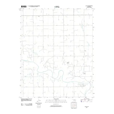
2009 Map of Lacey
USGS Topo · Published 2009About this map
Cimarron River winds through the southern landscape of this Kingfisher County region, its broad sandy channel providing a sharp contrast to the organized agricultural grid to the north. This 2009 survey reveals a rural landscape defined by sections of farmland and a network of county roads. Genealogical interest is centered on the Lacey Cemetery in the northwest and the Wilhite Cemetery further east, which serve as quiet landmarks of the local community's history.
Find a feature on this map
24 named features on this map. Tap any name to fly to it.
Don’t see what you’re looking for? This feature index may not catch every label — zoom into the map to look around manually.
Map Details
Editions of this 2009 Lacey Map
This is the sole edition of this map. No revisions or reprints were ever made.
Other maps of this area

1892 · Kingfisher
USGS Topo · 1:125,000

1893 · Hennessey
USGS Topo · 1:62,500

1893 · Loyal
USGS Topo · 1:62,500

1893 · Ames
USGS Topo · 1:62,500

1895 · Kingfisher
USGS Topo · 1:125,000

1954 · Oklahoma City
USGS Topo · 1:250,000

1955 · Clinton
USGS Topo · 1:250,000

1955 · Enid
USGS Topo · 1:250,000

1955 · Woodward
USGS Topo · 1:250,000

1956 · Ames
USGS Topo · 1:62,500