2010s Maps of Kingfisher County, Oklahoma
Explore 79 historic maps of Kingfisher County from the 2010s. These maps offer a rare glimpse into what life looked like during the 2010s — showing old roads, neighborhoods, homes, and landmarks that have changed or disappeared over time.
Whether you're researching your family's past, planning a metal detecting trip, or studying how Kingfisher County's landscape evolved across the 2010s, these high-resolution maps are a powerful tool for exploring the history of this region.
- Focus on a specific era: All maps on this page are from the 2010s, giving you a focused view of this time period.
- See what’s changed: Compare century-old streets, trails, and buildings to today's modern landscape using overlays and satellite layers.
- Research with precision: Use these maps for genealogy, historical research, land use analysis, or educational projects.
- View, download, or print: Maps are fully viewable online in high resolution, and can be downloaded or printed for your own records.
Start exploring Kingfisher County's history through authentic maps from the 2010s. This is your window into the past.
Kingfisher County, OK maps
(79)- 2010 Map of Fort Reno NE, 2010 Print
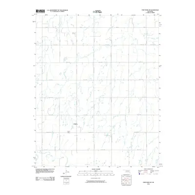 2010 Fort Reno NE2010 Print · USGSOklahoma's prairie landscape north of El Reno is captured here in the early twenty-first century, showing a transition from river bottomlands to an organized agricultural grid. Researchers can trace local heritage and land boundaries near the Canadian Valley Cemetery, the North Canadian River, and Winter Camp Creek.
 - 2010 Map of Parvin, 2010 Print
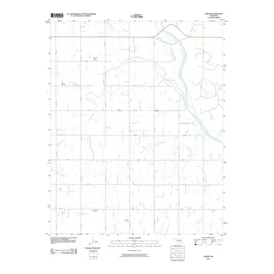 2010 Parvin2010 Print · USGSKingfisher County at the start of the new millennium shows a landscape defined by the section-line grid and the winding Cimarron River. Genealogists can locate several small family plots, including Holcomb-Cook Cemetery, Todd Cemetery, and Immanuel Cemetery.
 - 2010 Map of Marshall West, 2010 Print
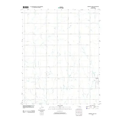 2010 Marshall West2010 Print · USGSThe rural landscape of Logan County is captured here in the early twenty-first century, centered on the orderly grid west of Marshall. Researchers can trace the paths of Skeleton Creek and Bitter Creek as they weave through a dense network of section-line roads like E0580 Rd.
 - 2010 Map of Dover, 2010 Print
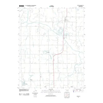 2010 Dover2010 Print · USGSDover and the Cimarron River valley are captured here at the start of the 2010s, showcasing the region's agricultural and aviation landscape. Genealogists and local historians can locate the Dover Cemetery or trace the drainage of Kingfisher Creek and Lake Elmer.
 - 2012 Map of Ames, 2012 Print
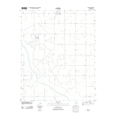 2012 Ames2012 Print · USGSThe rural landscape of Major County is captured here in the early twenty-first century, centered on the small town of Ames. Researchers can trace the development of lakeside communities like Crystal Lakes and Lindley near the banks of the Cimarron River.
 - 2012 Map of Barr, 2012 Print
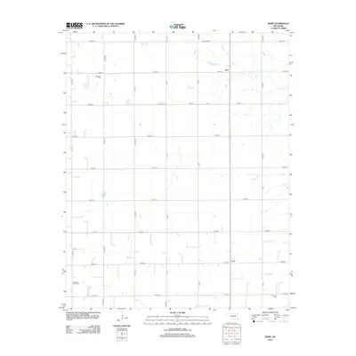 2012 Barr2012 Print · USGSKingfisher County's rural heartland is meticulously documented here during the early twenty-first century. Genealogists and local historians can trace the precise locations of family burial sites at Wildwood Cem, Cimarron Valley Cem, and Morrison Cem, alongside the small crossroads of Barr and Cato.
 - 2012 Map of Lacey, 2012 Print
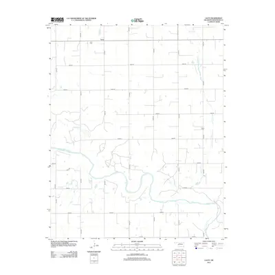 2012 Lacey2012 Print · USGSOklahoma's agricultural heartland in Kingfisher County is captured here in the early twenty-first century, centered on the community of Lacey. Researchers can locate family landmarks like Lacey Cem and Wilhite Cem or trace the winding path of the Cimarron River.
 - 2012 Map of Parvin, 2012 Print
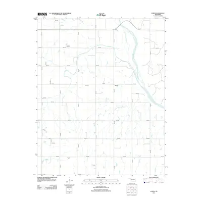 2012 Parvin2012 Print · USGSKingfisher County in the early twenty-first century remains a landscape of deep-rooted family history and river-carved prairie. Researchers can trace ancestral locations through numerous burial sites including Holcomb Cook Cem, Parvin Cem, and the riverfront near Lease Rd.
 - 2012 Map of Loyal, 2012 Print
 2012 Loyal2012 Print · USGSKingfisher County in the early 2010s shows a landscape of rural crossroads and prairie streams. Genealogists and local researchers can locate burials at Saint Joseph Catholic Cem and Greenwood Cem, or trace the paths of Cooper Cr and the Cimarron River.
 - 2012 Map of Loyal SE, 2012 Print
 2012 Loyal SE2012 Print · USGSKingfisher County in 2012 maintains its rural agricultural character, organized by a strict grid of section roads and quiet creek beds. Genealogists can locate family landmarks such as Mt Pisgah Cem, Indian Cem, and the small settlement of Alpha.
 - 2012 Map of Loyal NW, 2012 Print
 2012 Loyal NW2012 Print · USGSKingfisher County remains a landscape of coordinated agriculture and prairie drainage during the early twenty-first century. Genealogists can locate several local landmarks including the Omega Cem, Venable Cem, and the winding course of Cooper Cr.
 - 2012 Map of Omega, 2012 Print
 2012 Omega2012 Print · USGSThe rural landscape of Kingfisher County at the start of the 2010s is defined by its agricultural grid and the winding Kingfisher Cr. Family historians can pinpoint Altona Cem and Zion Cem, while tracing local landmarks like the prominent Cheyenne Butte.
 - 2012 Map of Hennessey, 2012 Print
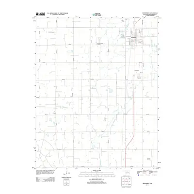 2012 Hennessey2012 Print · USGSHennessey and the surrounding Oklahoma plains are detailed here in the early twenty-first century, showing the intersection of rural agriculture and small-town life. Genealogists can trace family landmarks at Harmony Cem, Calvary Cem, and the Evans and Burns Cem.
 - 2012 Map of Marshall West, 2012 Print
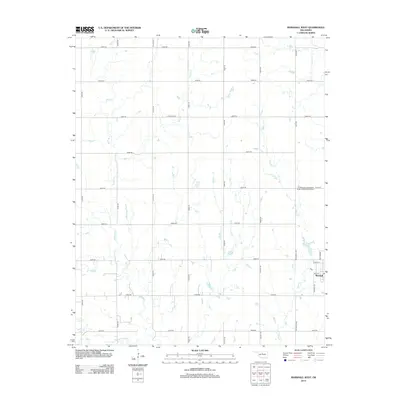 2012 Marshall West2012 Print · USGSThe community of Marshall and the surrounding Logan County plains are captured here in the early twenty-first century. Researchers can trace local heritage at the N Marshall Independent Order of Odd Fellows Cem or follow the paths of Bitter Cr and Skeleton Cr.
 - 2012 Map of Steinerts Lake, 2012 Print
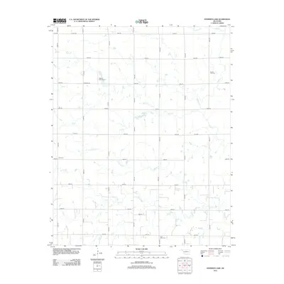 2012 Steinerts Lake2012 Print · USGSGarfield County’s rural prairie landscape is captured here in the early twenty-first century, showing a region defined by its winding creeks and section-line roads. Genealogists can locate several local burial sites, including Pleasant Valley Cem, Bison Cem, and Lyon Valley Cem.
 - 2012 Map of Union, 2012 Print
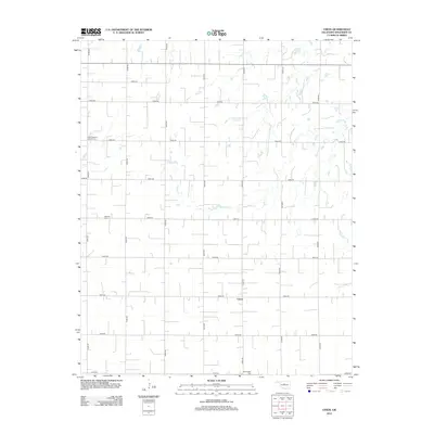 2012 Union2012 Print · USGSKingfisher County in the early twenty-first century maintains its deep agricultural roots through a vast network of section-line roads. Researchers can identify local landmarks and family burial sites like Saint Joseph's Catholic Cem, Oakview Cem, and the rural community of Union.
 - 2012 Map of Dover, 2012 Print
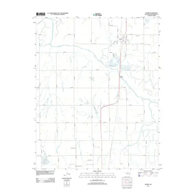 2012 Dover2012 Print · USGSDover and its surrounding Kingfisher County prairies are captured here in the early 21st century, centered on the winding Cimarron River. Researchers can trace local landmarks like Dover Cem, the riverside Boecher Bridge, and the waters of Lake Elmer.
 - 2012 Map of Piedmont, 2012 Print
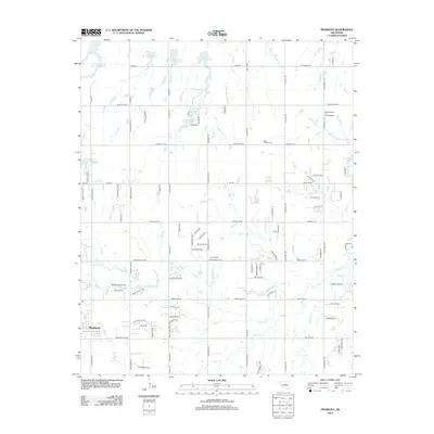 2012 Piedmont2012 Print · USGSThe Piedmont area and its surrounding Oklahoma prairies show a landscape of rapid suburban growth and established energy production. Genealogists and local historians can trace the sites of Saint Patricks Cem, the West Edmond Oil and Gas Field, and the various Soldier Cr tributaries.
 - 2012 Map of Kingfisher NE, 2012 Print
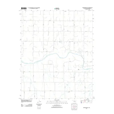 2012 Kingfisher NE2012 Print · USGSKingfisher County at the start of the 2010s is a landscape of vast section-line roads and winding river bottoms. Genealogists and local historians can trace the locations of rural burial sites like Lincoln Cem and Banner Cem, or locate the historic Gould Bridge over the Cimarron River.
 - 2012 Map of Cashion, 2012 Print
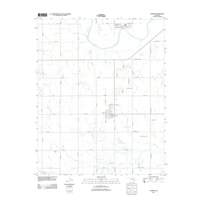 2012 Cashion2012 Print · USGSCashion and the surrounding rural landscape come into focus in the early twenty-first century, showing a region shaped by both the Cimarron River and energy production. Researchers can locate family heritage sites like Mt Zion Cem and trace the extent of the West Edmond Oil Field.
 - 2012 Map of Okarche, 2012 Print
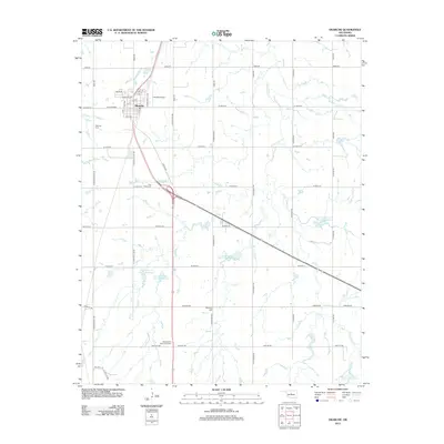 2012 Okarche2012 Print · USGSOklahoma's agricultural plains near the Kingfisher county line appear here in the early twenty-first century, centered on the community of Okarche. Family historians can locate several local burial grounds, including the Beecham Cem and the Mennonville Mennonite Cem.
 - 2012 Map of Kingfisher SE, 2012 Print
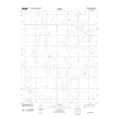 2012 Kingfisher SE2012 Print · USGSThe community of Reeding and the surrounding Oklahoma plains are captured here in the early twenty-first century. Genealogists and local historians can trace family roots through sites like Pleasant Valley Cem, Grimes Cem, and Clear Creek Cem.
 - 2012 Map of Kingfisher, 2012 Print
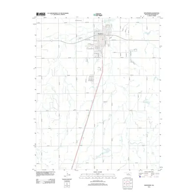 2012 Kingfisher2012 Print · USGSKingfisher and its surrounding prairie landscape are documented here in the early twenty-first century as the town continues to serve as a regional anchor. Researchers can locate family heritage sites like Union Hall Cem and trace the winding paths of Kingfisher Cr or Uncle Johns Cr.
 - 2012 Map of Porcupine Butte, 2012 Print
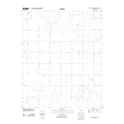 2012 Porcupine Butte2012 Print · USGSThe rural expanses of Canadian County are shown here in the early twenty-first century, dominated by the winding path of the North Canadian River. Researchers can locate Salem Cem and trace the section-line roads like N Karns Rd and N Maple Rd.
 - 2012 Map of Bison, 2012 Print
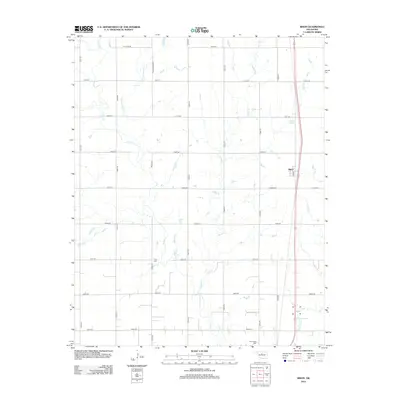 2012 Bison2012 Print · USGSBison and the surrounding Garfield County countryside are shown here in the early twenty-first century, featuring a landscape shaped by prairie creeks and section roads. Researchers can locate Hope Cem and Buffalo Springs or trace the winding path of Hell and Gone Cr.
Showing maps 1-25 of 79
Top cities of Kingfisher County
Frequently asked questions
- What are the different types of historical maps available for Kingfisher County?
- What is the oldest map of Kingfisher County?
- Where can I purchase historical maps of Kingfisher County for my home or office?
- Where can I download high-res historical maps of Kingfisher County?
- Are there historical topographic maps available for Kingfisher County?
- Is there historical aerial imagery available for Kingfisher County?
- Where are historical maps of Kingfisher County sourced from?