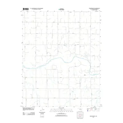
2012 Map of Kingfisher NE
USGS Topo · Published 2012About this map
The Cimarron River meanders across this rural section of Kingfisher County, creating a winding path through a landscape defined by a rigid section-line road grid. The river's influence on local movement is evidenced by the Gould Bridge, a key crossing point in an area otherwise partitioned by miles of gravel and dirt routes like E0750 Rd and N2940 Rd. This modern survey by the U.S. Geological Survey preserves the locations of several small burial grounds that anchor the local genealogy, including Wanamaker Cem in the north and Bird Creek Cem near the banks of Bird Cr. Tributaries such as Trail Cr and Walnut Cr cut through the plains, highlighting the subtle drainage patterns that have shaped Oklahoma farming and settlement since the land runs.
Find a feature on this map
25 named features on this map. Tap any name to fly to it.
Don’t see what you’re looking for? This feature index may not catch every label — zoom into the map to look around manually.
Map Details
Editions of this 2012 Kingfisher NE Map
This is the sole edition of this map. No revisions or reprints were ever made.
Other maps of this area

1892 · Kingfisher
USGS Topo · 1:125,000

1893 · Lovell
USGS Topo · 1:62,500

1893 · Hennessey
USGS Topo · 1:62,500

1895 · Kingfisher
USGS Topo · 1:125,000

1954 · Oklahoma City
USGS Topo · 1:250,000

1955 · Enid
USGS Topo · 1:250,000

1956 · Hennessey
USGS Topo · 1:62,500

1957 · Oklahoma City
USGS Topo · 1:250,000

1958 · Enid
USGS Topo · 1:250,000

1963 · Oklahoma City
USGS Topo · 1:250,000