1960s Maps of McClain County, Oklahoma
Explore 24 historic maps of McClain County from the 1960s. These maps offer a rare glimpse into what life looked like during the 1960s — showing old roads, neighborhoods, homes, and landmarks that have changed or disappeared over time.
Whether you're researching your family's past, planning a metal detecting trip, or studying how McClain County's landscape evolved across the 1960s, these high-resolution maps are a powerful tool for exploring the history of this region.
- Focus on a specific era: All maps on this page are from the 1960s, giving you a focused view of this time period.
- See what’s changed: Compare century-old streets, trails, and buildings to today's modern landscape using overlays and satellite layers.
- Research with precision: Use these maps for genealogy, historical research, land use analysis, or educational projects.
- View, download, or print: Maps are fully viewable online in high resolution, and can be downloaded or printed for your own records.
Start exploring McClain County's history through authentic maps from the 1960s. This is your window into the past.
McClain County, OK maps
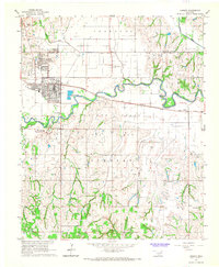
(24)- 1963 Map of Ardmore
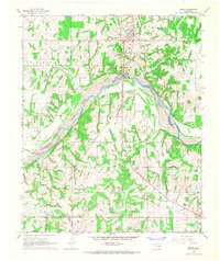
 1963 Ardmore1963 Print · USGSSouthern Oklahoma during the early sixties shows a landscape defined by the Arbuckle Mountains and a booming energy economy. Genealogists and historians can trace family-named sites across the Ardmore Oil Field, find old schools like Southeastern State College, or locate historic markers such as Boggy Depot State Park.2 unique versions available
 - 1963 Map of Oklahoma City
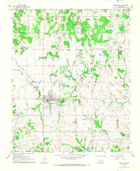
 1963 Oklahoma City1963 Print · USGSCentral Oklahoma in the early sixties showcases a landscape of rapid suburban growth and established oil production. Researchers can trace historic rail lines like the Chicago Rock Island and Pacific RR or locate rural landmarks such as Mayflower School and Bethel Church.
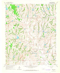
 - 1964 Map of Byars, 1966 Print
 1964 Byars1966 Print · USGSOklahoma's central plains during the mid-sixties show a landscape of active extraction and old prairie settlements. Trace family roots through local landmarks like Dixon Chapel, Byars Cem, and the rail-side community of Boudinot along the Atchison Topeka and Santa Fe.2 unique versions available
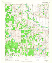
 - 1965 Map of Newcastle, 1966 Print
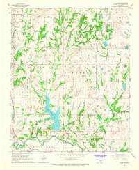
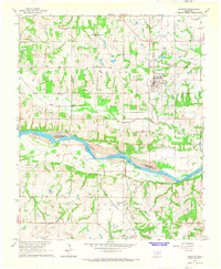
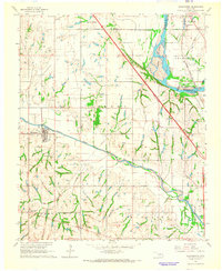
 1965 Newcastle1966 Print · USGSCentral Oklahoma's river borderlands in the mid-1960s reveal a landscape of growing oil fields and rural townships. Trace family history at Warren Cem or follow the legacy of energy production through the North Lindsay Ridge Oil Field.4 unique versions available
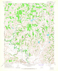
 - 1965 Map of Cole, 1966 Print
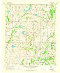
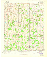
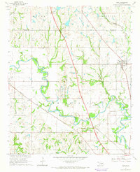
 1965 Cole1966 Print · USGSMcClain County comes to life in the mid-1960s as a landscape of rural communities and active energy production. Researchers can trace the legacy of the West Washington Oil Field or locate local landmarks like the Iron Chapel and Dibble Cem.2 unique versions available
 - 1965 Map of Rosedale, 1966 Print
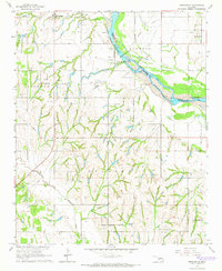
 1965 Rosedale1966 Print · USGSCentrally located on the Oklahoma prairie in the mid-sixties, this area shows the intersection of three counties along the Canadian River. Genealogists can trace family names and locations via landmarks like Rosedale Cem, Douglas Ch, and the settlements of Corbett and Box.2 unique versions available
 - 1965 Map of Dibble, 1966 Print
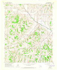
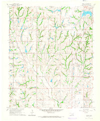
 1965 Dibble1966 Print · USGSOklahoma prairie life across the Grady and McClain county line is captured here in the mid-1960s. Researchers can locate family roots at Hale Cem and Naples Cem, or trace the early energy industry through the North Dibble Oil Field.2 unique versions available
 - 1965 Map of Byars SW, 1966 Print
 1965 Byars SW1966 Print · USGSGarvin County's river-and-rail landscape is captured here in the mid-1960s as oil production and water management reshaped the plains. Researchers can locate the Indian Meridian, the Pauls Valley Oil Field, and rural landmarks like Civit and Blue Branch Cem.3 unique versions available
 - 1965 Map of Wayne, 1966 Print
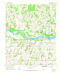
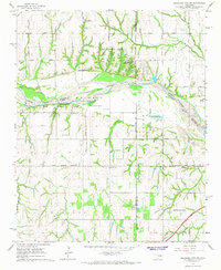
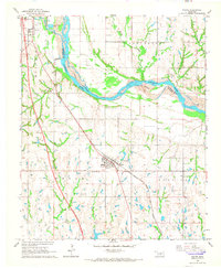 1965 Wayne1966 Print · USGSMid-century McClain County is documented here as the railroad-era towns of Wayne and Purcell continued to evolve alongside the Canadian River. Researchers can trace old property lines near the Old Indian Treaty Boundary and locate the Denton Cem or the West Corbett Oil Field.3 unique versions available
 - 1965 Map of Norman, 1966 Print
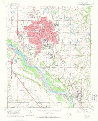 1965 Norman1966 Print · USGSNorman and the Canadian River valley are shown in the mid-1960s during a period of significant institutional and industrial expansion. Researchers can trace the layout of the University of Oklahoma and locate rural landmarks like Adkins Cem and Goldsby Ch.3 unique versions available
 - 1965 Map of Wanette, 1966 Print
 1965 Wanette1966 Print · USGSThe Canadian River valley south of Wanette was a hub of petroleum production and rural settlement in the mid-sixties. Researchers can trace the legacy of oil exploration through the South Wanette Oil Field and locate family roots at New Johnsonville Cem.2 unique versions available
 - 1965 Map of Purcell, 1966 Print
 1965 Purcell1966 Print · USGSThe Canadian River valley in the mid-sixties shows the distinct twin-town relationship between Purcell and Lexington. Genealogists and local historians can trace rural footprints at the Canada Sch, Shilo Ch, and the Indian Treaty Boundary.2 unique versions available
 - 1965 Map of Maysville, 1966 Print
 1965 Maysville1966 Print · USGSMaysville and the surrounding Washita River valley are captured in the mid-sixties during a period of steady industrial and agricultural activity. Genealogists and local historians can trace family locations near the Story Sch, Maysville Cemetery, and the local Refinery.3 unique versions available
 - 1965 Map of Blanchard, 1966 Print
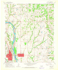
 1965 Blanchard1966 Print · USGSBlanchard and the McClain County borderlands are captured here in the mid-1960s as new highways began to reshape the rural landscape. Researchers can trace the Old Railroad Grade or locate historic sites like Bridge Creek Sch and Blanchard Cem.5 unique versions available
 - 1965 Map of Washington, 1966 Print
 1965 Washington1966 Print · USGSMcClain and Cleveland counties come alive in the mid-sixties, showing a landscape defined by the Canadian River and active petroleum exploration. Genealogists and local historians can trace rural roots at Woody Chapel, Washington Cem, and Union Hill Ch.3 unique versions available
 - 1965 Map of Paoli, 1966 Print
 1965 Paoli1966 Print · USGSGarvin County's river valley and oil country are well-defined in the mid-sixties, showing the growth of Paoli and Whitebead. Researchers can trace the path of the Atchison Topeka and Santa Fe railroad or locate family sites like Florence Cem.2 unique versions available
 - 1965 Map of Stealy, 1966 Print
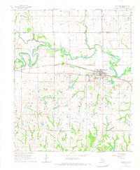
 1965 Stealy1966 Print · USGSMcClain County oil and ranch land is captured here in the mid-1960s, showing the intersection of rural life and petroleum production. Genealogists and historians can locate old homesteads near Stealy, Bethlehem Ch, and the West Flint Creek Oil Field.3 unique versions available
 - 1965 Map of Oklahoma City SW, 1967 Print
 1965 Oklahoma City SW1967 Print · USGSSouthwest of the capital in the mid-sixties, this landscape shows the meeting point of three counties along the Canadian River. Genealogists and historians can trace the early footprints of Tuttle and Newcastle near sites like Snow Hill Ch and Camp Kickapoo.3 unique versions available
 - 1966 Map of Lindsay, 1967 Print
 1966 Lindsay1967 Print · USGSThe Washita River valley in the mid-1960s was a landscape defined by the intersection of traditional farming and the petroleum boom. Local researchers can trace the Golden Trend Oil Field infrastructure alongside old landmarks like Erin Springs, the Hughes Sch, and Green Hill Cemetery.2 unique versions available
 - 1966 Map of Criner, 1967 Print
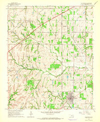
 1966 Criner1967 Print · USGSMcClain County, Oklahoma, was a landscape of active petroleum production and rural homesteads in the 1960s. Genealogists and historians can trace local life through the Northeast Criner Oil Field and the small settlements of Criner and Payne.3 unique versions available
 - 1966 Map of Lindsay SW, 1967 Print
 1966 Lindsay SW1967 Print · USGSMid-century life in the Oklahoma plains is captured here as the river-bottom farms meet the growing energy infrastructure of the 1960s. Researchers can locate an Old Railroad Grade near Bradley, a local Cem, and a Refinery along the Washita River.3 unique versions available
 - 1966 Map of Bradley, 1967 Print
 1966 Bradley1967 Print · USGSMid-century life in Grady County centers on the oil economy and the winding Washita River. Genealogists and local historians can trace the Golden Trend Oil Field, the Laflin Cem, and the small-town layout of Bradley.2 unique versions available
 - 1966 Map of Asher, 1968 Print
 1966 Asher1968 Print · USGSThe Oklahoma heartland comes into focus in the 1960s as the Canadian River winds through the tri-county border area. Genealogists and historians can trace the town of Asher, the Cook Cem, and landmarks like the Hiway Tabernacle and Days Airport.
 - 1967 Map of Stratford, 1968 Print
 1967 Stratford1968 Print · USGSThe town of Stratford is captured in the late sixties as a rail-centered hub during the height of local energy production. Researchers can trace the Atchison Topeka and Santa Fe line, locate numerous Oil Wells, and find family history at Midland Cem.3 unique versions available
End of results
Showing maps 1-24 of 24
Top cities of McClain County
- Newcastle historical maps
- Purcell historical maps
- Goldsby historical maps
- Wayne historical maps
- Washington historical maps
- Cole historical maps
See more
Frequently asked questions
- What are the different types of historical maps available for McClain County?
- What is the oldest map of McClain County?
- Where can I purchase historical maps of McClain County for my home or office?
- Where can I download high-res historical maps of McClain County?
- Are there historical topographic maps available for McClain County?
- Is there historical aerial imagery available for McClain County?
- Where are historical maps of McClain County sourced from?