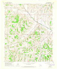
1965 Map of Cole
USGS Topo · Published 1966About this map
Cole and Goldsby anchor this mid-1960s survey of McClain County, which captures a landscape defined by the intersection of rural community life and the regional petroleum industry. The terrain is marked by several significant production areas, including the West Washington Oil Field and the Northeast Dibble Oil Field, where a network of pipelines and service roads cuts across the drainage basins of Walnut Creek and Dibble Creek. Local history is preserved in landmarks such as the Iron Chapel church and the Dibble Cem located further south.
Find a feature on this map
18 named features on this map. Tap any name to fly to it.
Don’t see what you’re looking for? This feature index may not catch every label — zoom into the map to look around manually.
Map Details
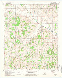
Editions of this 1965 Cole Map
2 editions found
Other maps of this area

1893 · Norman
USGS Topo · 1:62,500

1898 · Purcell
USGS Topo · 1:125,000

1898 · Pauls Valley
USGS Topo · 1:125,000

1902 · Pauls Valley
USGS Topo · 1:125,000

1902 · Rush Springs
USGS Topo · 1:125,000

1904 · Chickasha
USGS Topo · 1:125,000

1925 · Norman NO 2
USGS Topo · 1:24,000

1936 · Norman
USGS Topo · 1:62,500

1954 · Oklahoma City
USGS Topo · 1:250,000

1957 · Ardmore
USGS Topo · 1:250,000