1950s Maps of McCurtain County, Oklahoma
Explore 36 historic maps of McCurtain County from the 1950s. These maps offer a rare glimpse into what life looked like during the 1950s — showing old roads, neighborhoods, homes, and landmarks that have changed or disappeared over time.
Whether you're researching your family's past, planning a metal detecting trip, or studying how McCurtain County's landscape evolved across the 1950s, these high-resolution maps are a powerful tool for exploring the history of this region.
- Focus on a specific era: All maps on this page are from the 1950s, giving you a focused view of this time period.
- See what’s changed: Compare century-old streets, trails, and buildings to today's modern landscape using overlays and satellite layers.
- Research with precision: Use these maps for genealogy, historical research, land use analysis, or educational projects.
- View, download, or print: Maps are fully viewable online in high resolution, and can be downloaded or printed for your own records.
Start exploring McCurtain County's history through authentic maps from the 1950s. This is your window into the past.
McCurtain County, OK maps
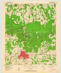
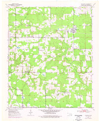
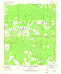
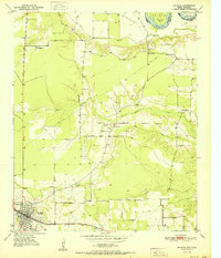
(36)- 1950 Map of Mcalester
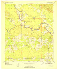
 1950 Mcalester1950 Print · USGSThe Ouachita Mountains and the coal country of Southeast Oklahoma are shown here in the late 1940s. Genealogists and historians can trace the rail-driven growth of McAlester, Wilburton, and Antlers alongside the rugged terrain of Kiamichi Mountain.2 unique versions available
 - 1950 Map of Idabel, 1962 Print
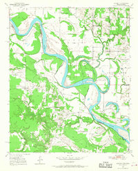
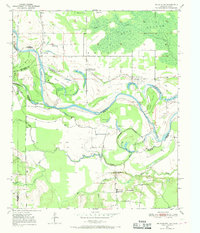
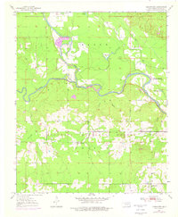
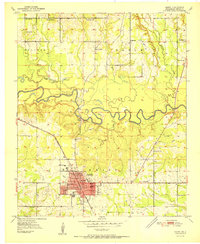
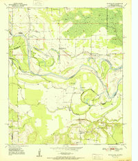
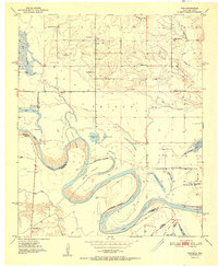
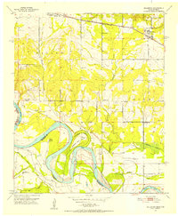
 1950 Idabel1962 Print · USGSSoutheastern Oklahoma’s river valleys and rail corridors are captured here just after the war, centered on the growing community of Idabel. Researchers can trace the lineage of local families through landmarks like Gray High Sch, Denison Cem, and rural outposts such as Twin Springs.3 unique versions available
 - 1950 Map of Acworth, 1968 Print
 1950 Acworth1968 Print · USGSThe Red River borderlands of Texas and Oklahoma are captured here at mid-century as a landscape of shifting waters and rural communities. Genealogists can trace family roots through landmarks like Greenwood Ch, Bachman Cem, and the old Acworth Sch along the river's winding oxbows.
 - 1950 Map of De Kalb NW, 1969 Print
 1950 De Kalb NW1969 Print · USGSThe Red River valley at the Texas-Oklahoma border comes alive here during the mid-century, showing a landscape shaped by shifting waters and rural settlement. Researchers can trace family roots through sites like Harris Cem, Antioch Ch, and the many local schoolhouses like Field Ridge Sch.2 unique versions available
 - 1950 Map of Shults, 1975 Print
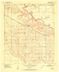
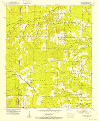
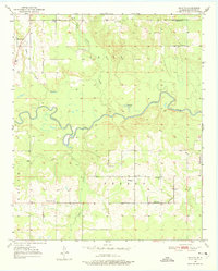 1950 Shults1975 Print · USGSMcCurtain County is documented in the mid-twentieth century as a landscape of river bends and rural settlements. Researchers can trace family history at the Redland Cem or locate community centers like Douglas Chapel and Shults.2 unique versions available
 - 1950 Map of Haworth, 1976 Print
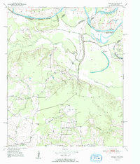
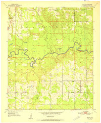
 1950 Haworth1976 Print · USGSMid-century McCurtain County is defined here by its rail-side timber towns and rural school districts within the Ouachita National Forest. Researchers can locate several country schools and cemeteries, including Pollard Sch and the Kullituklo Cem.
 - 1950 Map of Tom, 1976 Print
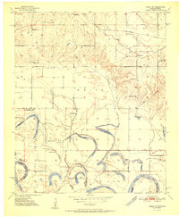
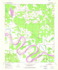 1950 Tom1976 Print · USGSMcCurtain County sits along the winding Red River at the Texas border in the mid-twentieth century. Family historians can trace local roots through numerous country schools like Pecan Grove Sch and Oak Ridge Sch, or explore the river's path around Severn Island.
 - 1950 Map of De Kalb, 1976 Print
 1950 De Kalb1976 Print · USGSBowie County at mid-century shows a landscape of rural schools and family cemeteries clustered around the De Kalb rail corridor. Genealogists can trace local landmarks like Woodman Cem, Bethlehem Sch, and the banks of the Red River.2 unique versions available
 - 1950 Map of Goodwater, 1976 Print
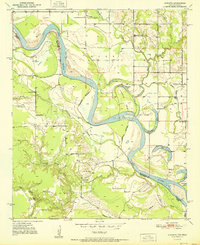
 1950 Goodwater1976 Print · USGSMcCurtain County at mid-century shows a landscape of dense timber and winding river bottoms where the Little River meets the Mountain Fork. Genealogists and local historians can locate the old Highland Lake Sch, Ponka Bok Ch, and the rail-stop settlement at Goodwater.
 - 1950 Map of Bokhoma, 1976 Print
 1950 Bokhoma1976 Print · USGSSoutheastern Oklahoma’s timber country and small rural settlements are documented here during the mid-century. Genealogists and local historians can locate the Bokhoma Cem, Choctaw Ch, and the Oak Ridge Sch along the St Louis San Francisco rail line.
 - 1951 Map of Idabel
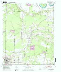
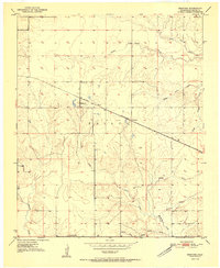
 1951 Idabel1951 Print · USGSMcCurtain County enters the 1950s with its seat of Idabel as a bustling rail and civic hub. Genealogists and local historians can trace the foundations of the community through its many local schools and churches like Gray High Sch and Livingland Ch.2 unique versions available
 - 1951 Map of Garvin
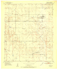
 1951 Garvin1951 Print · USGSMcCurtain County's rural landscape at mid-century is captured here, centered on the settlement of Garvin and the winding Little River. Genealogists and historians can trace numerous country schools and churches, such as Wheelock Academy, Honey Grove Sch, and Waterhole Ch.2 unique versions available
 - 1951 Map of Idabel SE
 1951 Idabel SE1951 Print · USGSThe Oklahoma-Texas border along the Red River is captured here in the early fifties, showing a landscape of shifting oxbows and rural social hubs. Researchers can trace local history through the St Louis San Francisco rail line and sites like Kullituklo Ch and Richland Sch.2 unique versions available
 - 1951 Map of De Kalb
 1951 De Kalb1951 Print · USGSBowie County, Texas, was a landscape of small schools and rural churches in the years following the war. Researchers can trace the Texas and Pacific rail line through De Kalb or locate family markers at Woodman Cem and Harrell Cem.
 - 1951 Map of English
 1951 English1951 Print · USGSRed River County during the early 1950s shows a landscape shaped by the shifting channel of the Red River. Genealogists and local historians can trace family roots through the sites of Martin-Shiloh Ch, the Hale Sch, and the settlement of English.2 unique versions available
 - 1951 Map of De Kalb NW
 1951 De Kalb NW1951 Print · USGSThe Red River valley at the Oklahoma-Texas border is captured here in the early fifties, showing a landscape shaped by shifting river bends. Genealogists and local historians can trace the locations of Riverside Sch, Antioch Ch, and family landmarks like Jim Jones Hill.
 - 1951 Map of Haworth
 1951 Haworth1951 Print · USGSSoutheastern Oklahoma's rural landscape is captured here in the early fifties as small farming communities thrived along the rail lines. Researchers can trace local heritage through numerous community markers like Kullituklo Sch, Thomas Chapel, and Haworth Cem.2 unique versions available
 - 1951 Map of Tom
 1951 Tom1951 Print · USGSSoutheast Oklahoma and Northeast Texas meet along the winding river valley during the early fifties, showing a rural landscape of scattered schools and family cemeteries. Genealogists can locate Harris Cem and Pine Ridge Sch or trace the route of the Clear Lake Ferry.2 unique versions available
 - 1951 Map of Bokhoma
 1951 Bokhoma1951 Print · USGSSoutheast Oklahoma in the early fifties is defined here by the transit corridor of the St Louis San Francisco railroad and the small community of Bokhoma. Local historians can trace the rural network of Choctaw Ch, Moon, and Oak Ridge Sch across a creek-carved landscape.2 unique versions available
 - 1951 Map of Shults
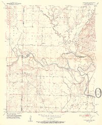
 1951 Shults1951 Print · USGSMcCurtain County's riverbottoms and rural uplands are shown here just after the war, centered on the winding Little River. Genealogists and local historians can trace family locations near Shults, the Redland Cem, and old country landmarks like Welch Store.2 unique versions available
 - 1951 Map of Acworth
 1951 Acworth1951 Print · USGSThe Texas-Oklahoma borderlands along the Red River are captured here in the early fifties, documenting a landscape of river-bend oxbows and rural farmsteads. Trace the locations of historic community hubs like Acworth, the Bachman Cem, and local schools including Greenwood Sch.
 - 1951 Map of Goodwater
 1951 Goodwater1951 Print · USGSSoutheast Oklahoma’s river country is documented here just after the war, showing a landscape defined by the confluence of the Mountain Fork River and Little River. Researchers can trace the mid-century layout of Goodwater and locate historic rural centers like Ponka Bok Ch and Red Branch Sch.2 unique versions available
 - 1951 Map of Arkinda, 1952 Print
 1951 Arkinda1952 Print · USGSThe Oklahoma and Arkansas borderlands in the early fifties reveal a landscape of cross-state rail lines and small country school districts. Researchers can trace the junction of the Kansas City Southern and Arkinda community, alongside historic sites like Saints Rest Ch and Oak Grove Sch.4 unique versions available
 - 1951 Map of Cerrogordo, 1952 Print
 1951 Cerrogordo1952 Print · USGSThe Oklahoma-Arkansas borderlands come alive in the early fifties, showing the meandering Little River and the communities along its banks. Genealogists and local historians can locate vanished landmarks like Plainview Sch, Pauley Cem, and the old settlement at Cerrogordo.4 unique versions available
 - 1951 Map of Millerton, 1952 Print
 1951 Millerton1952 Print · USGSThe Red River borderlands are captured here in the early fifties, showing the winding river meanders between Oklahoma and Texas. Genealogists and historians can locate rural landmarks like Clear Creek Ch, Redland Sch, and the St Louis San Francisco rail line.2 unique versions available
Showing maps 1-25 of 36
Top cities of McCurtain County
- Idabel historical maps
- Broken Bow historical maps
- Wright City historical maps
- Valliant historical maps
- Millerton historical maps
- Haworth historical maps
See more
Frequently asked questions
- What are the different types of historical maps available for McCurtain County?
- What is the oldest map of McCurtain County?
- Where can I purchase historical maps of McCurtain County for my home or office?
- Where can I download high-res historical maps of McCurtain County?
- Are there historical topographic maps available for McCurtain County?
- Is there historical aerial imagery available for McCurtain County?
- Where are historical maps of McCurtain County sourced from?