2020s Maps of McCurtain County, Oklahoma
Explore 57 historic maps of McCurtain County from the 2020s. These maps offer a rare glimpse into what life looked like during the 2020s — showing old roads, neighborhoods, homes, and landmarks that have changed or disappeared over time.
Whether you're researching your family's past, planning a metal detecting trip, or studying how McCurtain County's landscape evolved across the 2020s, these high-resolution maps are a powerful tool for exploring the history of this region.
- Focus on a specific era: All maps on this page are from the 2020s, giving you a focused view of this time period.
- See what’s changed: Compare century-old streets, trails, and buildings to today's modern landscape using overlays and satellite layers.
- Research with precision: Use these maps for genealogy, historical research, land use analysis, or educational projects.
- View, download, or print: Maps are fully viewable online in high resolution, and can be downloaded or printed for your own records.
Start exploring McCurtain County's history through authentic maps from the 2020s. This is your window into the past.
McCurtain County, OK maps
(57)- 2020 Map of Foreman, 2020 Print
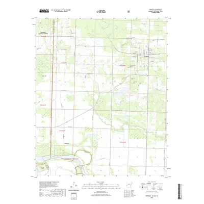 2020 Foreman2020 Print · USGSCovers McCurtain County, including Foreman, Rocky Comfort, and other nearby areas
 - 2020 Map of Cerrogordo, 2020 Print
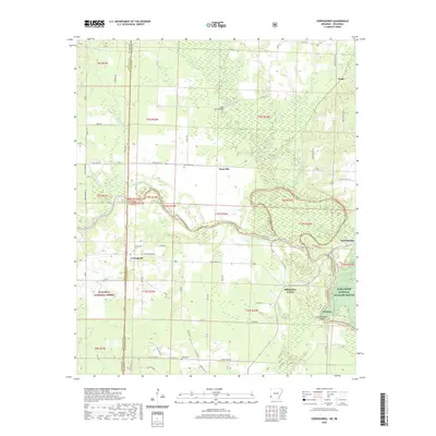 2020 Cerrogordo2020 Print · USGSCovers McCurtain County, including Dogtown, Billingsleys Corner, and other nearby areas
 - 2020 Map of Arkinda, 2020 Print
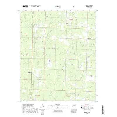 2020 Arkinda2020 Print · USGSCovers McCurtain County, including Arkinda, Cross Roads, and other nearby areas
 - 2020 Map of Chapel Hill, 2020 Print
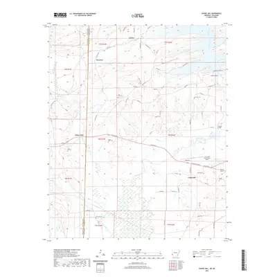 2020 Chapel Hill2020 Print · USGSCovers McCurtain County, including Ultima Thule, Chapel Hill, and other nearby areas
 - 2020 Map of Cove, 2020 Print
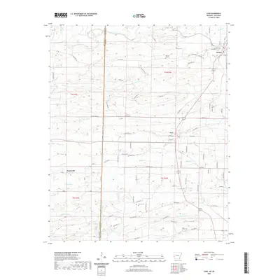 2020 Cove2020 Print · USGSCovers McCurtain County, including Hatfield, Cove, and other nearby areas
 - 2020 Map of De Queen NW, 2020 Print
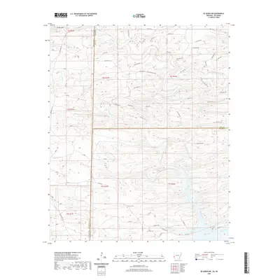 2020 De Queen NW2020 Print · USGSCovers McCurtain County, including Polk County, Sevier County, and other nearby areas
 - 2020 Map of Bog Springs, 2020 Print
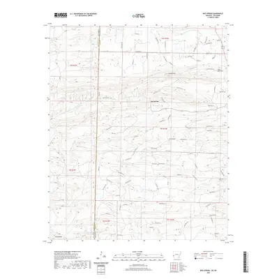 2020 Bog Springs2020 Print · USGSCovers McCurtain County, including Bog Springs, Polk County, and other nearby areas
 - 2022 Map of Bethel, 2022 Print
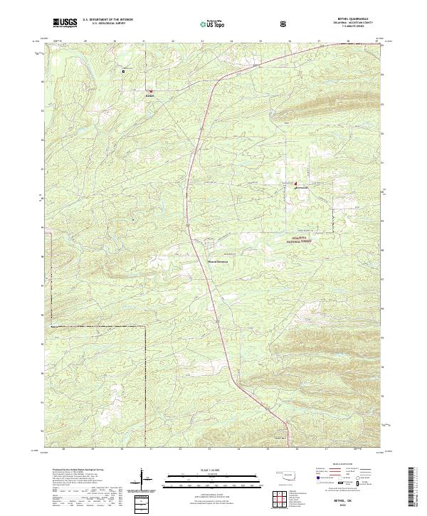 2022 Bethel2022 Print · USGSSoutheastern Oklahoma's timberlands and river valleys are captured here in the early twenty-first century. Researchers can trace local lineages at Bethel Cem and Sherwood Cem or explore the forest road network near Mount Herman.
 - 2022 Map of Octavia, 2022 Print
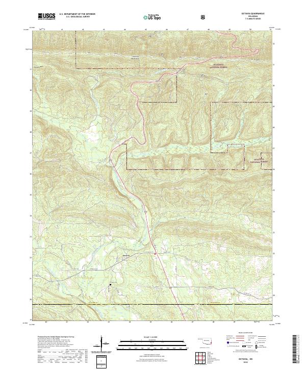 2022 Octavia2022 Print · USGSThe rural settlement of Octavia is documented here in the early twenty-first century as it sits within the highland terrain of the Kiamichi Mountains. Researchers can locate the Octavia Cem and trace the paths of Big Eagle Creek and Cucumber Cr.
 - 2022 Map of White Rock Mountain, 2022 Print
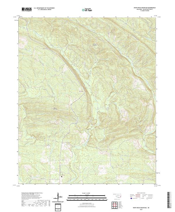 2022 White Rock Mountain2022 Print · USGSMcCurtain County's high ridges and river valleys are captured here in the early twenty-first century, showing a landscape shaped by timber and water. Genealogists and hikers can trace remote landmarks like the Kulli-Chito Cem or the winding path of the Wild Horse Boktuklo Trl.
 - 2022 Map of Haworth, 2022 Print
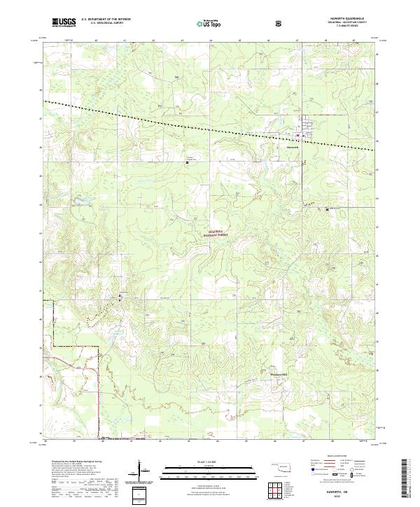 2022 Haworth2022 Print · USGSSoutheast Oklahoma’s timber and wetland country is captured here in the early twenty-first century. Genealogists and local historians can locate family sites at Thomas Chapel Cem or Pollard Cem, and trace rural life around Haworth and Harris.
 - 2022 Map of Smithville, 2022 Print
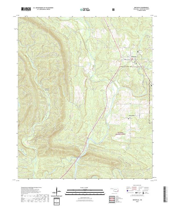 2022 Smithville2022 Print · USGSSoutheastern Oklahoma’s timbered ridges and river valleys are documented here in recent detail, centered on the community of Smithville. Genealogists and local historians can trace family sites at Nani-chito and numerous burial grounds like Big Lick Cem and Cusher Cem.
 - 2022 Map of Battiest, 2022 Print
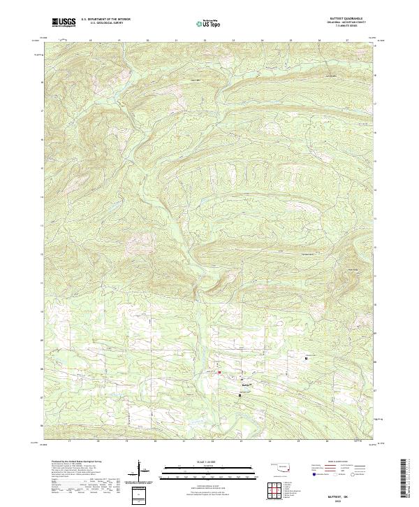 2022 Battiest2022 Print · USGSMcCurtain County's timbered ridges and river valleys are captured here in the early twenty-first century. Genealogists can locate family landmarks like Parsons Cem, Battiest Cem, and the community of Battiest near the W Fork Glover River.
 - 2022 Map of Big Hudson Creek, 2022 Print
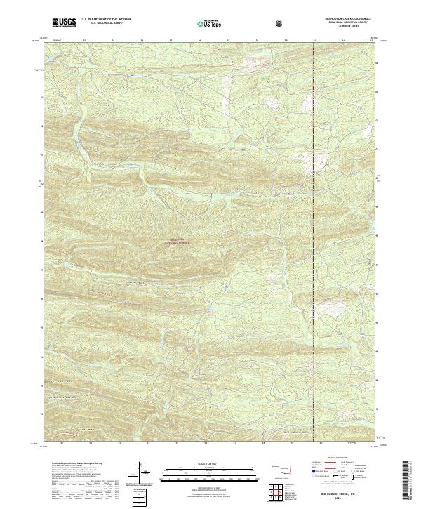 2022 Big Hudson Creek2022 Print · USGSMcCurtain County's forested interior is documented in this modern survey, showing the complex ridges of the Oklahoma Ouachitas. Researchers can trace the Locust Mountain Trail and find landmarks like Pine Mountain Spring and Slapover Ridge.
 - 2022 Map of Shults, 2022 Print
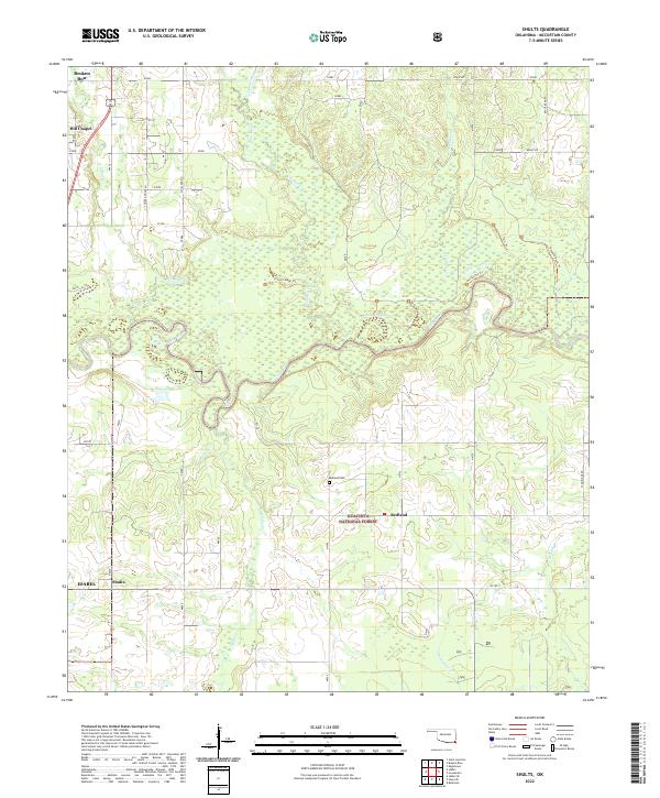 2022 Shults2022 Print · USGSMcCurtain County's river-bottom lands and timbered hills are shown in detail here just south of the Ouachita National Forest. Researchers can locate family landmarks such as Redland Cem and the Hill Chapel settlement, or trace the winding course of the Little River and Yanubbee Cr.
 - 2022 Map of Garvin, 2022 Print
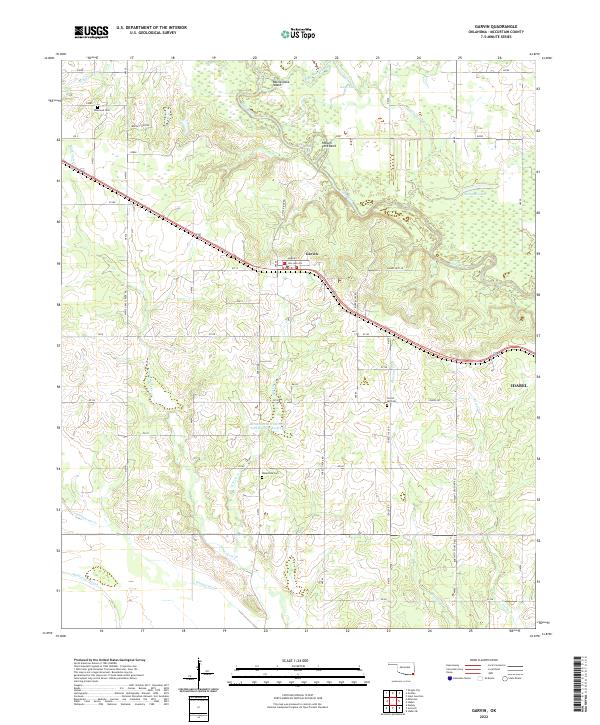 2022 Garvin2022 Print · USGSMcCurtain County's river-bottom lands and rural settlements are documented here during the early 2020s. Researchers can pinpoint long-established burial grounds like Wheelock Cem and Forest Hill Cem or trace the winding course of the Little River through Possum Ford Bend.
 - 2022 Map of Bokhoma, 2022 Print
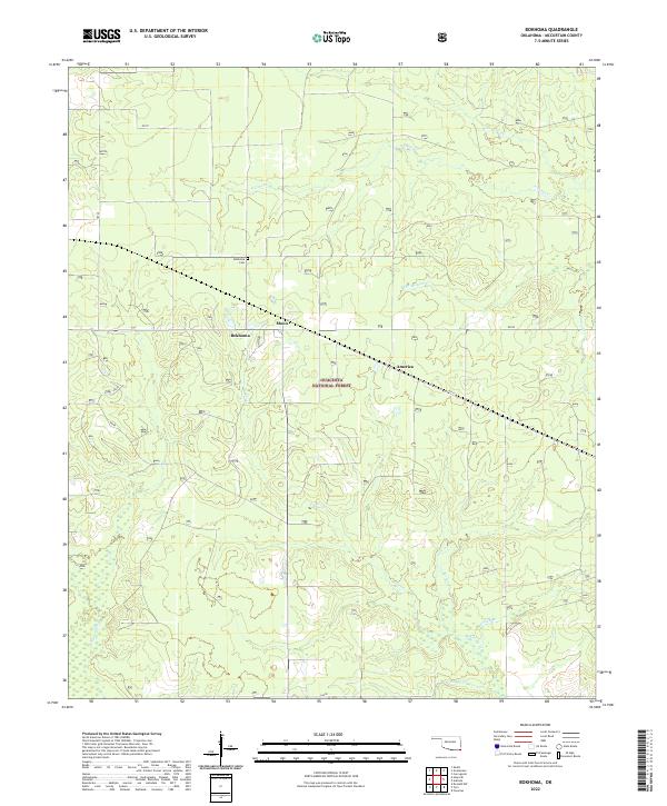 2022 Bokhoma2022 Print · USGSSoutheast Oklahoma in the early twenty-first century reveals a landscape of forestry and quiet settlements within the Ouachita National Forest. Researchers can trace the layout of Bokhoma, Moon, and America alongside local landmarks like Bokhoma Cem and McKinney Cr.
 - 2022 Map of Goodwater, 2022 Print
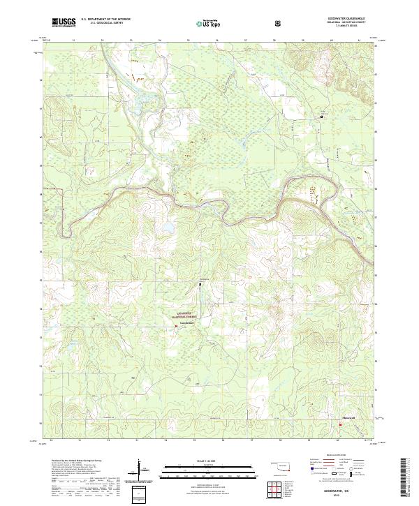 2022 Goodwater2022 Print · USGSSoutheastern Oklahoma's river-bottom lands and timbered reaches are shown here in the early twenty-first century. Researchers can trace family history at Philadelphia Cem and Panki Bok Cem or locate the rural communities of Goodwater and Shinewell.
 - 2022 Map of Golden, 2022 Print
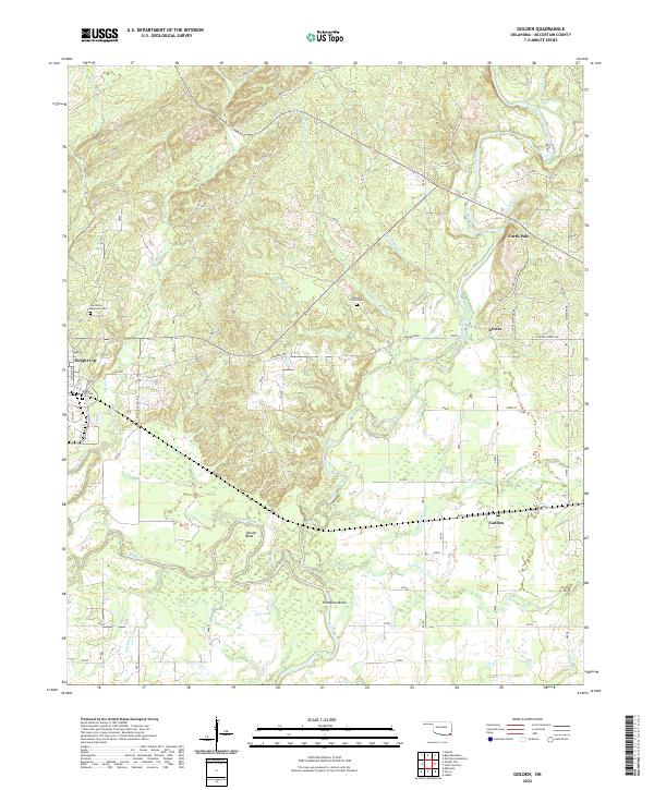 2022 Golden2022 Print · USGSSoutheastern Oklahoma’s river-bottom lands are documented here in recent years, showing the area around the Glover River and Little River. Researchers can locate several burial sites including Naniah Chito Cem and trace old routes like Glover School Rd.
 - 2022 Map of Steel Junction, 2022 Print
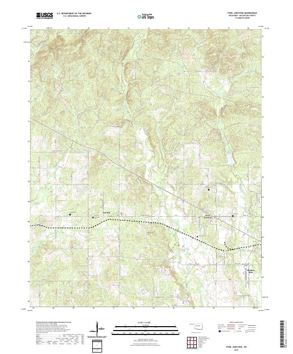 2022 Steel Junction2022 Print · USGSThe northern edge of Broken Bow and the rural community of Steel Junction are captured here in the early twenty-first century. Genealogists can trace several burial sites including Lukfata Cem and Yasho Cem near the banks of Lukfata Creek.
 - 2022 Map of Ludlow, 2022 Print
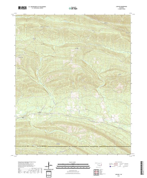 2022 Ludlow2022 Print · USGSSoutheast Oklahoma in the early 2020s remains a landscape of high ridges and winding waterways. Genealogists and local historians can trace the settlement at Ludlow, locate the Ludlow Cem, and follow the historic Honobia Trl through the Kiamichi Mountains.
 - 2022 Map of Rocky Creek, 2022 Print
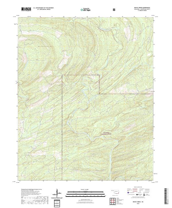 2022 Rocky Creek2022 Print · USGSMcCurtain County's timberlands and river systems are shown here in the early twenty-first century, dominated by the Ouachita National Forest. Researchers can trace the forks of the Glover River and find landmarks like Big Horseshoe Mtn and Jones Ranch Trl.
 - 2022 Map of Old Glory Mountain, 2022 Print
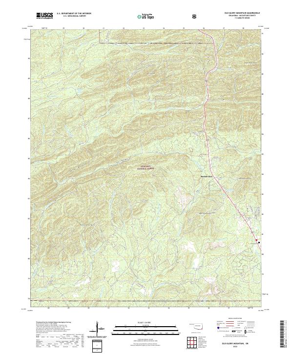 2022 Old Glory Mountain2022 Print · USGSMcCurtain County’s forested peaks and spring-fed creeks are captured here in the early twenty-first century. Researchers can locate family landmarks like Hochatown Cem and Brigham Young Springs, or trace the rugged geography of Old Glory Mtn and the Cedar Mountains.
 - 2022 Map of Watson, 2022 Print
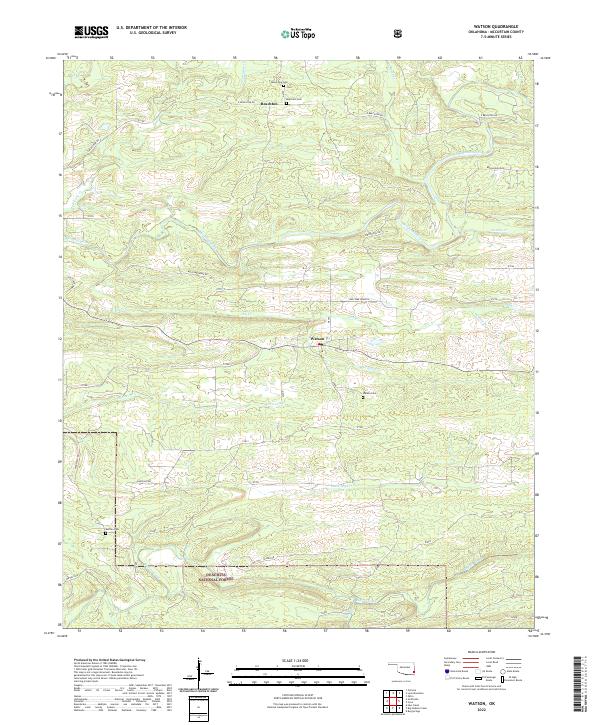 2022 Watson2022 Print · USGSMcCurtain County’s wooded hill country and the Ouachita National Forest define this landscape in the early 2020s. Genealogists and local historians can locate early burial sites like Beechtree Cem and Watson Cem alongside the winding Mountain Fork.
 - 2022 Map of Lynn Mountain, 2022 Print
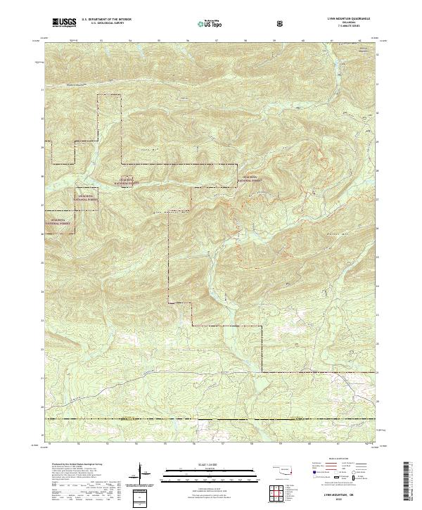 2022 Lynn Mountain2022 Print · USGSThe Ouachita highlands of southeastern Oklahoma are captured here in the early twenty-first century, showcasing a landscape of high ridges and forest service routes. Outdoorsmen and local historians can trace paths like the Beech Cr - Blue Bouncer Trl across Lynn Mtn and Walnut Mtn.
Showing maps 1-25 of 57
Top cities of McCurtain County
- Idabel historical maps
- Broken Bow historical maps
- Wright City historical maps
- Valliant historical maps
- Millerton historical maps
- Haworth historical maps
See more
Frequently asked questions
- What are the different types of historical maps available for McCurtain County?
- What is the oldest map of McCurtain County?
- Where can I purchase historical maps of McCurtain County for my home or office?
- Where can I download high-res historical maps of McCurtain County?
- Are there historical topographic maps available for McCurtain County?
- Is there historical aerial imagery available for McCurtain County?
- Where are historical maps of McCurtain County sourced from?