2010s Maps of McCurtain County, Oklahoma
Explore 192 historic maps of McCurtain County from the 2010s. These maps offer a rare glimpse into what life looked like during the 2010s — showing old roads, neighborhoods, homes, and landmarks that have changed or disappeared over time.
Whether you're researching your family's past, planning a metal detecting trip, or studying how McCurtain County's landscape evolved across the 2010s, these high-resolution maps are a powerful tool for exploring the history of this region.
- Focus on a specific era: All maps on this page are from the 2010s, giving you a focused view of this time period.
- See what’s changed: Compare century-old streets, trails, and buildings to today's modern landscape using overlays and satellite layers.
- Research with precision: Use these maps for genealogy, historical research, land use analysis, or educational projects.
- View, download, or print: Maps are fully viewable online in high resolution, and can be downloaded or printed for your own records.
Start exploring McCurtain County's history through authentic maps from the 2010s. This is your window into the past.
McCurtain County, OK maps
(192)- 2010 Map of Sobol, 2010 Print
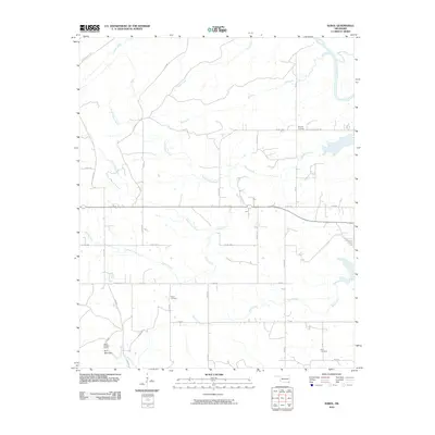 2010 Sobol2010 Print · USGSSoutheast Oklahoma in the early twenty-first century remains a landscape of deep woods and creek-side settlements. Genealogists and local historians can locate several rural burial grounds, including Ringold Cemetery and Rufe Cemetery, or trace old timber routes like Tram Rd.
 - 2010 Map of Swink, 2010 Print
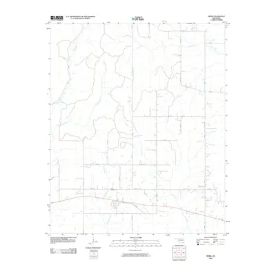 2010 Swink2010 Print · USGSSoutheast Oklahoma in the early twenty-first century reveals a landscape structured by rural roads and winding creek beds. Genealogists can locate the Swink Cemetery while tracing the waters of Doaksville Creek and Pine Creek.
 - 2010 Map of Garvin, 2010 Print
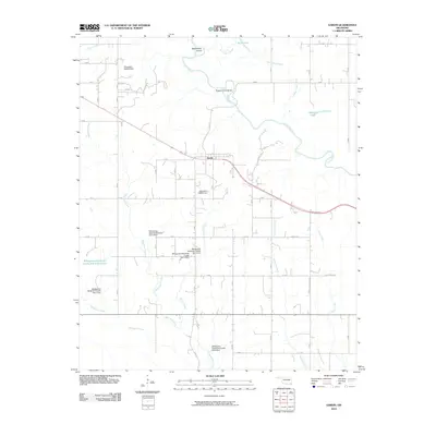 2010 Garvin2010 Print · USGSSoutheast Oklahoma's riverine landscape is documented here in the early twenty-first century, centered on the settlement of Garvin. Researchers can trace the complex drainage of the Little River and identify local landmarks like Sunk Lake, Mohawk Lake, and Possum Ford Bend.
 - 2010 Map of Hee Creek, 2010 Print
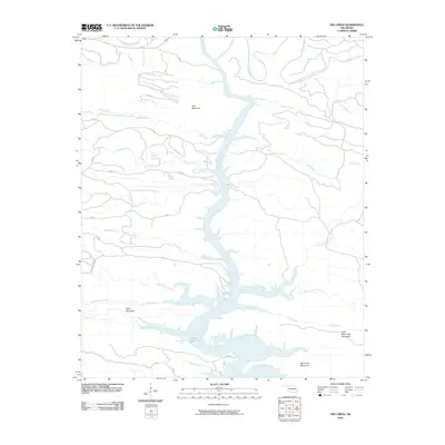 2010 Hee Creek2010 Print · USGSOklahoma's McCurtain County high country meets the northern reaches of the reservoir in the early twenty-first century. Researchers can trace the complex shoreline of Broken Bow Lake and follow the remote paths toward Hee Mountain and Holly Mountain.
 - 2010 Map of Honobia, 2010 Print
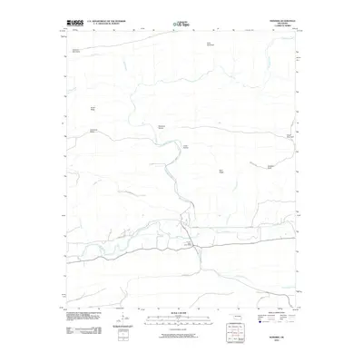 2010 Honobia2010 Print · USGSThe Kiamichi Mountains of southeastern Oklahoma are mapped here during the early twenty-first century, showing a landscape defined by ridges and river valleys. Researchers can trace the rugged local geography through family-named landmarks like Smith Ridge and remote sites such as Christs Forty Acres Camp.
 - 2010 Map of Rocky Creek, 2010 Print
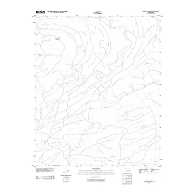 2010 Rocky Creek2010 Print · USGSMcCurtain County in the early twenty-first century reveals a landscape shaped by the Glover River and its upland ridges. Trace the winding Jones Ranch Trl or explore the heights of Big Horseshoe Mountain and Little Horseshoe Mountain across this terrain.
 - 2010 Map of Bear Mountain, 2010 Print
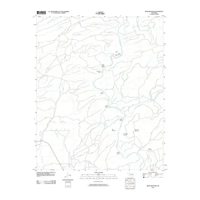 2010 Bear Mountain2010 Print · USGSMcCurtain County's highlands are charted here in the early twenty-first century, showing a landscape defined by timber camps and named hollows. Genealogists and historians can trace old landmarks like Dierks Camp and Burks Camp or the winding path of Glover River.
 - 2010 Map of Bethel, 2010 Print
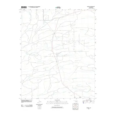 2010 Bethel2010 Print · USGSOklahoma's McCurtain County backcountry is revealed in the early twenty-first century, showing a landscape defined by its river forks and timber ridges. Researchers can trace rural routes like Johnny Beavers Trl or explore the drainage of Pine Creek and Carter Mountain.
 - 2010 Map of Tablerville, 2010 Print
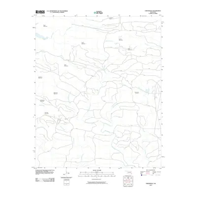 2010 Tablerville2010 Print · USGSThe wooded ridges of McCurtain County are captured here in the early twenty-first century, centered on the settlement of Tablerville. Topographic researchers can trace the drainages of Liksuklo Creek and find local landmarks like Gobblers Knob and Henderson Lake Dam.
 - 2010 Map of Broken Bow, 2010 Print
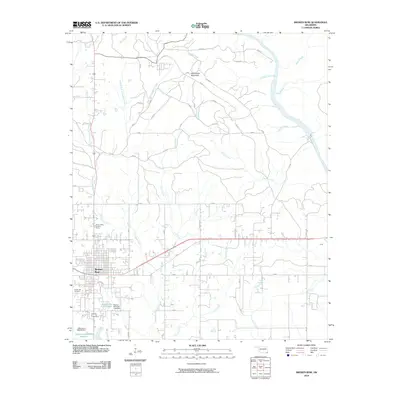 2010 Broken Bow2010 Print · USGSBroken Bow and its surrounding McCurtain County timberlands are detailed here during a period of steady growth. Researchers can trace the local landscape from the Broken Bow Lookout Tower to the Crown Hill Cemetery, or follow the winding Mountain Fork and Yanubbee Creek.
 - 2010 Map of Watson, 2010 Print
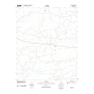 2010 Watson2010 Print · USGSMcCurtain County in the early twenty-first century reveals a landscape defined by its winding waterways and quiet rural crossroads. Researchers can trace family history at Beechtree Cemetery or examine the local geography near the Oknoname 089008 Dam and Mountain Fork.
 - 2010 Map of Golden, 2010 Print
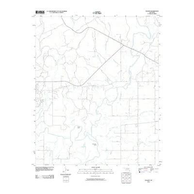 2010 Golden2010 Print · USGSSoutheast Oklahoma's river systems are on full display in this 2010 survey of the Wright City vicinity. Researchers can trace the winding course of the Glover River and the Little River, while locating landmarks like Shuler Bend and Pine Lake.
 - 2010 Map of Eagletown, 2010 Print
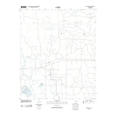 2010 Eagletown2010 Print · USGSEagletown and the surrounding bottomlands are captured here in the early twenty-first century, showing a landscape defined by the Mountain Fork river. Researchers can locate family burial sites at Eagletown Cemetery and trace the many drainages like Ponka Bok Creek and Liksuklo Creek.
 - 2010 Map of Wright City, 2010 Print
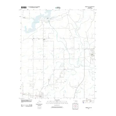 2010 Wright City2010 Print · USGSSoutheast Oklahoma at the dawn of the 2010s reveals a landscape of river basins and small timber-country settlements. Researchers can trace rural lineages through the Moran Cemetery or locate the old sites of Slim, Felker, and Mound Grove.
 - 2010 Map of Ludlow, 2010 Print
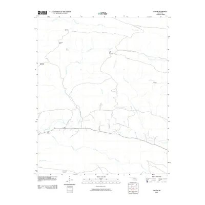 2010 Ludlow2010 Print · USGSLudlow and the surrounding LeFlore County peaks are shown here in the years before recent developments changed the rural landscape. Researchers can locate the Ludlow Cemetery and trace historical paths like the Honobia Trl near Deadman Mountain.
 - 2010 Map of Steel Junction, 2010 Print
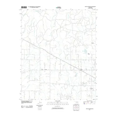 2010 Steel Junction2010 Print · USGSSoutheastern Oklahoma's McCurtain County appears here in the early twenty-first century, centered on rural crossroads and water infrastructure. Genealogists and local historians can locate Watsons Memorial Cemetery, the Steel Junction community, and the area surrounding Broken Bow Lake.
 - 2010 Map of Signal Mountain, 2010 Print
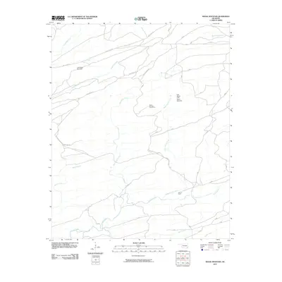 2010 Signal Mountain2010 Print · USGSMcCurtain County's upland forests are documented here during the early twenty-first century, showing a landscape defined by ridgelines and remote ranching. You can trace the path to the Signal Mountain Lookout Tower or locate landmarks like Brannon Ranch and John Noah Mountain.
 - 2010 Map of Big Hudson Creek, 2010 Print
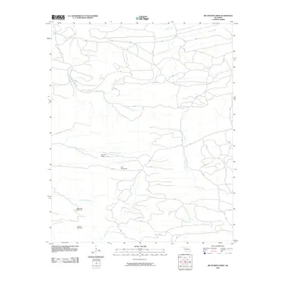 2010 Big Hudson Creek2010 Print · USGSSoutheast Oklahoma’s high ridges and creek valleys are documented in detail here during the early twenty-first century. Researchers can trace the elevation of the Pine Mountains and Slapover Ridge or follow the paths of Big Hudson Creek and Bull Creek.
 - 2010 Map of Stephens Gap, 2010 Print
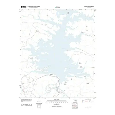 2010 Stephens Gap2010 Print · USGSSoutheast Oklahoma in the early 2000s centers on the expansive waters of the Mountain Fork. Local historians and outdoor researchers can trace the winding shoreline of Broken Bow Lake, find the namesake Stephens Gap, and locate the dramatic formations at Beavers Bend.
 - 2010 Map of Alikchi, 2010 Print
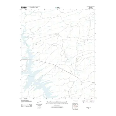 2010 Alikchi2010 Print · USGSMcCurtain County's forested terrain and the sprawling waters of the reservoir are captured here in the early twenty-first century. Genealogists and local historians can locate Wilson Chapel Cemetery or trace the many branches of the Little River and Alikchi settlement.
 - 2010 Map of Battiest, 2010 Print
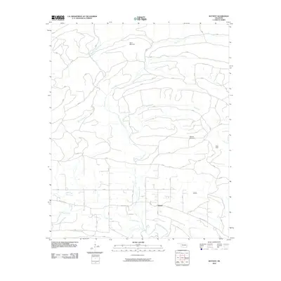 2010 Battiest2010 Print · USGSSoutheastern Oklahoma's timbered hills are captured here in the early twenty-first century, centered on the community of Battiest. Researchers can trace the winding West Fork Glover River and find local landmarks like Parsons Cemetery and Short Mountain.
 - 2010 Map of Old Glory Mountain, 2010 Print
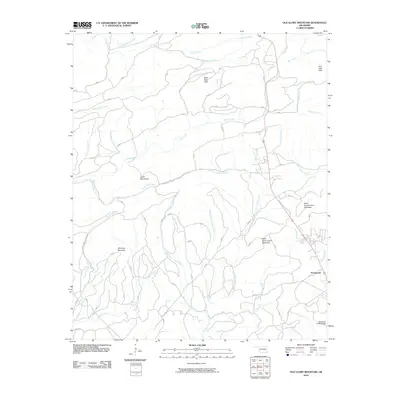 2010 Old Glory Mountain2010 Print · USGSSoutheastern Oklahoma's timbered ridges and deep creek valleys are shown here during a period of steady rural development. Researchers can trace the drainage of West Fork Lukfata Creek and locate landmarks such as Old Glory Mountain and the settlement of Hochatown.
 - 2010 Map of Albion SE, 2010 Print
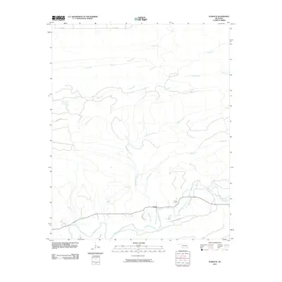 2010 Albion SE2010 Print · USGSThe river valleys of southeastern Oklahoma are captured here in the early twenty-first century. Genealogists and local historians can locate Fewell, the Fewell Cemetary, and remote routes like the Black Fork Trl.
 - 2010 Map of White Rock Mountain, 2010 Print
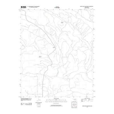 2010 White Rock Mountain2010 Print · USGSMcCurtain County’s high ridges and river valleys are captured here in the early 21st century as a wilderness of timber and water. You can trace the rugged drainage of the East Fork Glover River and scout for landmarks like White Rock Mountain or Boktuklo Creek.
 - 2010 Map of Smithville, 2010 Print
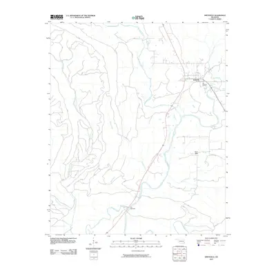 2010 Smithville2010 Print · USGSMcCurtain County's river valleys and rural settlements are documented here in the early twenty-first century. Genealogists can trace family roots at the Smithville Cemetery and Old Smithville Cemetery or locate homes near Nanichito and The Narrows.
Showing maps 1-25 of 192
Top cities of McCurtain County
- Idabel historical maps
- Broken Bow historical maps
- Wright City historical maps
- Valliant historical maps
- Millerton historical maps
- Haworth historical maps
See more
Frequently asked questions
- What are the different types of historical maps available for McCurtain County?
- What is the oldest map of McCurtain County?
- Where can I purchase historical maps of McCurtain County for my home or office?
- Where can I download high-res historical maps of McCurtain County?
- Are there historical topographic maps available for McCurtain County?
- Is there historical aerial imagery available for McCurtain County?
- Where are historical maps of McCurtain County sourced from?