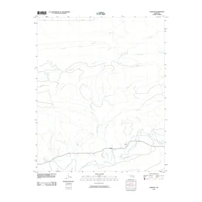
2010 Map of Albion SE
USGS Topo · Published 2010About this map
Fewell and its surrounding river valley define this 2010 USGS survey of southeastern Oklahoma. The landscape is dominated by a complex network of waterways, including the winding course of the Little River and the Black Fork tributary. Local transit is limited to a few arterial routes like Riley Donica Rd and unpaved paths such as the Black Fork Trl, which suggests a sparsely populated, primarily agricultural or timber-based economy. For those tracing local families, the Fewell Cemetary remains a key landmark near the community center. The terrain is marked by numerous named drainages such as Wildhorse Creek, Uphill Creek, and Brushy Creek, illustrating the intricate watershed that flows through this corner of Pushmataha County.
Find a feature on this map
13 named features on this map. Tap any name to fly to it.
Don’t see what you’re looking for? This feature index may not catch every label — zoom into the map to look around manually.
Map Details
Editions of this 2010 Albion SE Map
This is the sole edition of this map. No revisions or reprints were ever made.
Other maps of this area

1900 · Winding Stair
USGS Topo · 1:125,000

1901 · Tuskahoma
USGS Topo · 1:125,000

1901 · Alikchi
USGS Topo · 1:125,000

1902 · Lukfata
USGS Topo · 1:125,000

1908 · Tuskahoma
USGS Topo · 1:125,000

1909 · Tuskahoma
USGS Topo · 1:125,000

1909 · Winding Stair
USGS Topo · 1:125,000

1950 · Mcalester
USGS Topo · 1:250,000

1960 · Bethel
USGS Topo · 1:62,500

1962 · McAlester
USGS Topo · 1:250,000