2020s Maps of Okmulgee County, Oklahoma
Explore 17 historic maps of Okmulgee County from the 2020s. These maps offer a rare glimpse into what life looked like during the 2020s — showing old roads, neighborhoods, homes, and landmarks that have changed or disappeared over time.
Whether you're researching your family's past, planning a metal detecting trip, or studying how Okmulgee County's landscape evolved across the 2020s, these high-resolution maps are a powerful tool for exploring the history of this region.
- Focus on a specific era: All maps on this page are from the 2020s, giving you a focused view of this time period.
- See what’s changed: Compare century-old streets, trails, and buildings to today's modern landscape using overlays and satellite layers.
- Research with precision: Use these maps for genealogy, historical research, land use analysis, or educational projects.
- View, download, or print: Maps are fully viewable online in high resolution, and can be downloaded or printed for your own records.
Start exploring Okmulgee County's history through authentic maps from the 2020s. This is your window into the past.
Okmulgee County, OK maps
(17)- 2022 Map of Morris, 2022 Print
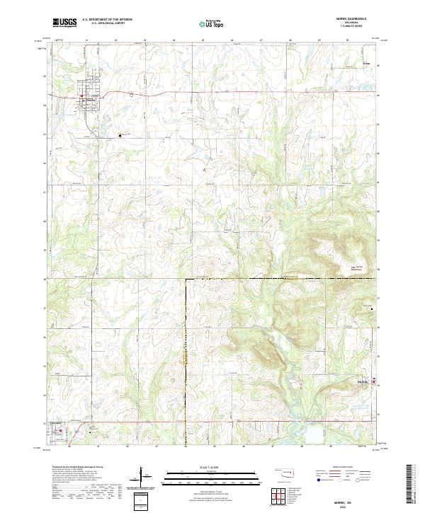 2022 Morris2022 Print · USGSOklahoma's Okmulgee and McIntosh counties are captured here in recent years, showing the area's rural character and established small-town grids. Researchers can locate family roots and historical sites at Morris Cemetery, Indian Cem, and the community of Grayson.
 - 2022 Map of Boynton, 2022 Print
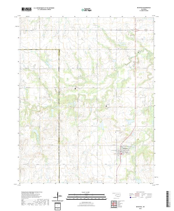 2022 Boynton2022 Print · USGSBoynton and the rural borderlands of Okmulgee and Muskogee Counties are shown here during the early twenty-first century. Genealogists can locate family burial sites at Charles Cem, Lee Cem, and the Boynton Cem while tracing the watershed of Cane Creek.
 - 2022 Map of Council Hill, 2022 Print
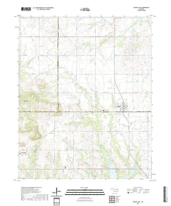 2022 Council Hill2022 Print · USGSEastern Oklahoma farmland and the High Spring Mountains meet in this contemporary survey of Council Hill and Hitchita. Genealogists can locate family sites at Council Hill Cem, Hitchita-Lackey Cem, and the Ridley Cem.
 - 2022 Map of Spanish Peak, 2022 Print
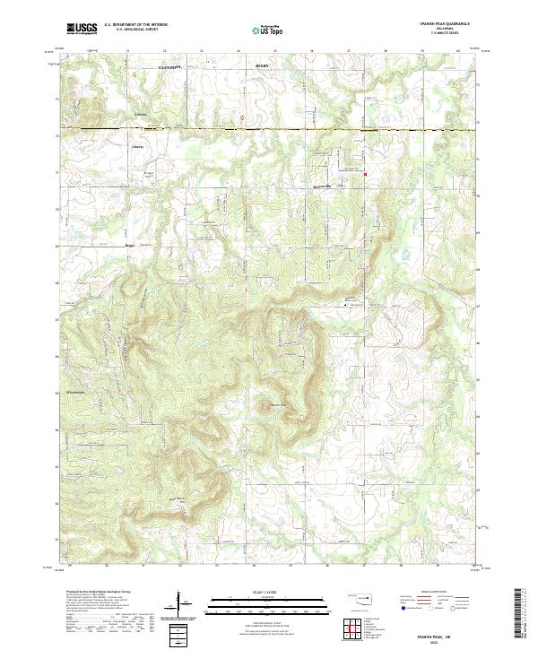 2022 Spanish Peak2022 Print · USGSThe Oklahoma borderlands of Tulsa and Okmulgee counties appear here in the early 2020s, showing a mix of growing suburban fringes and rural cattle country. Family history researchers can locate the Fleetwood Bruner Cemetery or trace the geography around Hectorville and Spanish Peak.
 - 2022 Map of Okmulgee NE, 2022 Print
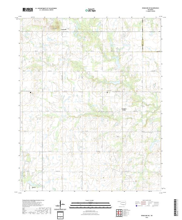 2022 Okmulgee NE2022 Print · USGSEastern Okmulgee County and the Muskogee County line are mapped here in the early 2020s. Genealogists can locate family sites near Bald Hill Cem and Antioch Cem, or trace the rural crossroads at Pumpkin Center and Bald Hill.
 - 2022 Map of Okmulgee North, 2022 Print
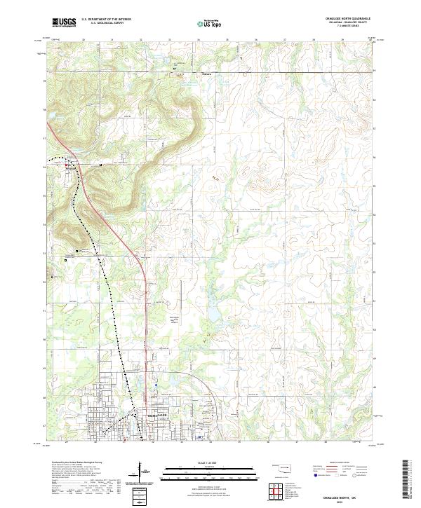 2022 Okmulgee North2022 Print · USGSOkmulgee and the surrounding prairies are captured here in the early twenty-first century as the city expands northward toward Natura. Genealogists can locate several family cemeteries, including Throckmorton Cem, Miller Cem, and the Pleasantland Berryhill Cem.
 - 2022 Map of Okmulgee South, 2022 Print
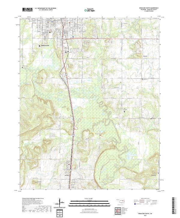 2022 Okmulgee South2022 Print · USGSThe Okmulgee County landscape at the start of the 2020s shows a unique concentration of community burial sites and bottomland topography. Genealogists can trace family connections at Pawhuska Cem, Little Cussetah Cem, and the prominent Elephant Knob landmark.
 - 2022 Map of Okfuskee, 2022 Print
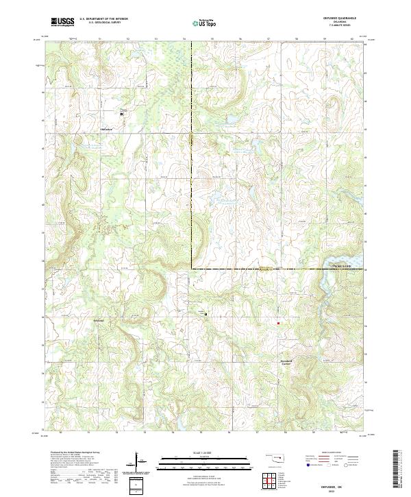 2022 Okfuskee2022 Print · USGSModern Oklahoma crossroads and creek systems emerge in this recent survey. Local researchers can trace family sites at the Okfuskee Free Cem and Nuyaka Cem or locate the rural junctions of Oriental and Woodard Corner.
 - 2022 Map of Lake Boren, 2022 Print
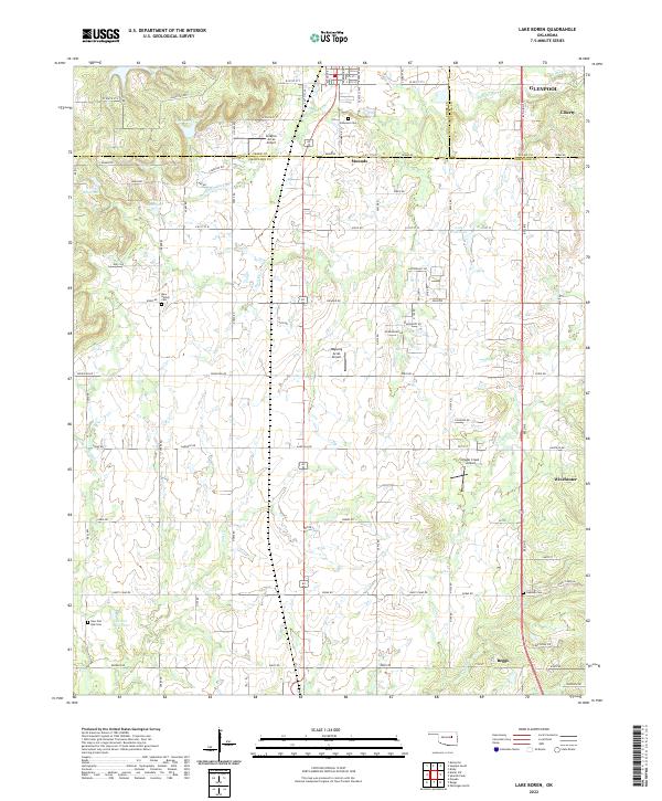 2022 Lake Boren2022 Print · USGSThe borderlands of Creek and Okmulgee Counties are captured here in a moment of continued rural-to-suburban transition. Local researchers can trace family landmarks like Oakwood Cem and Oakdale Cem, or locate aviation sites like Ragwing Acres Airport near Mounds.
 - 2022 Map of Beggs, 2022 Print
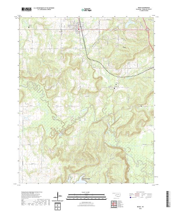 2022 Beggs2022 Print · USGSThe rural landscape around Beggs and Okmulgee is documented here during a period of modern mapping that preserves many historic land markers. Genealogists can locate several smaller burial sites such as Old Post Oak Cem and Stake Cem alongside the winding Deep Fork river.
 - 2022 Map of Kiefer SW, 2022 Print
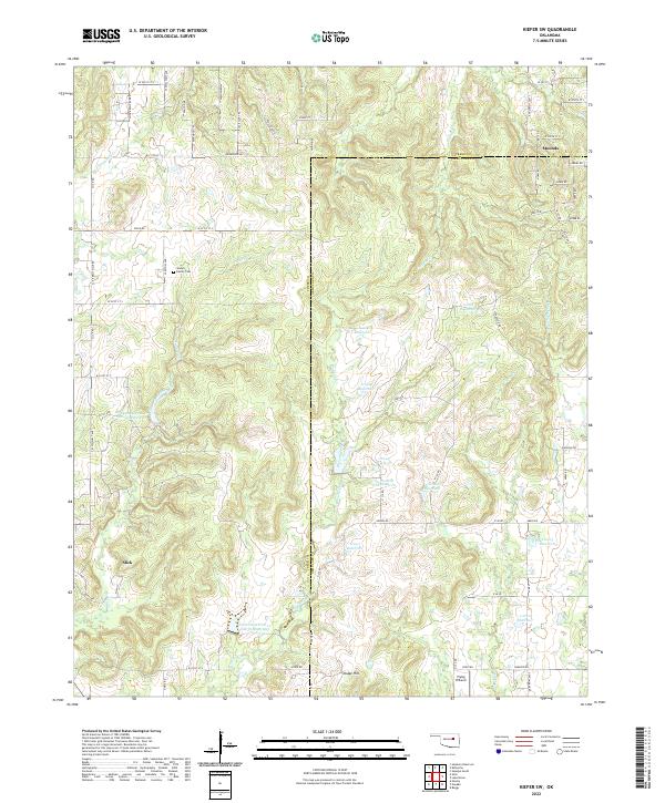 2022 Kiefer SW2022 Print · USGSCreek County and Okmulgee County at the start of the 2020s are defined by rural crossroads and water management. Genealogists and historians can trace Slick and Mounds, or find family landmarks like the Sewell Family Cemetery.
 - 2022 Map of Pharoah, 2022 Print
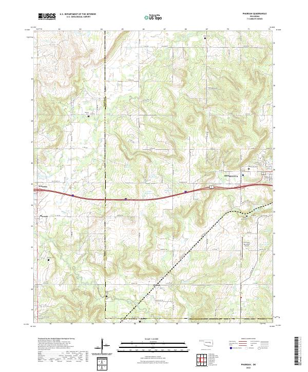 2022 Pharoah2022 Print · USGSThe borderlands of Okmulgee and Okfuskee counties are documented here in the early twenty-first century, centered on the growing hub of Henryetta. Genealogists can trace family heritage through numerous burial sites including West Lawn Cem, Likowski Cem, and Renkie Cem.
 - 2022 Map of Nuyaka, 2022 Print
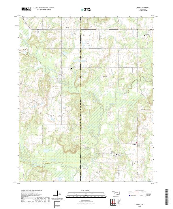 2022 Nuyaka2022 Print · USGSThe Okmulgee County countryside near Nuyaka reveals a landscape of family homesteads and winding creek bottoms. Researchers can trace local lineage through several sites, including Old Nuyaka Cem, Isparhecher Cem, and the quiet settlement of Edna.
 - 2022 Map of Henryetta, 2022 Print
 2022 Henryetta2022 Print · USGSHenryetta and its surrounding Oklahoma coal-country settlements are shown here in the early twenty-first century. Researchers can trace local lineages through Sonora Cemetery and explore the complex water systems of Lake Henryetta and Nichols Lake.
 - 2022 Map of Hoffman, 2022 Print
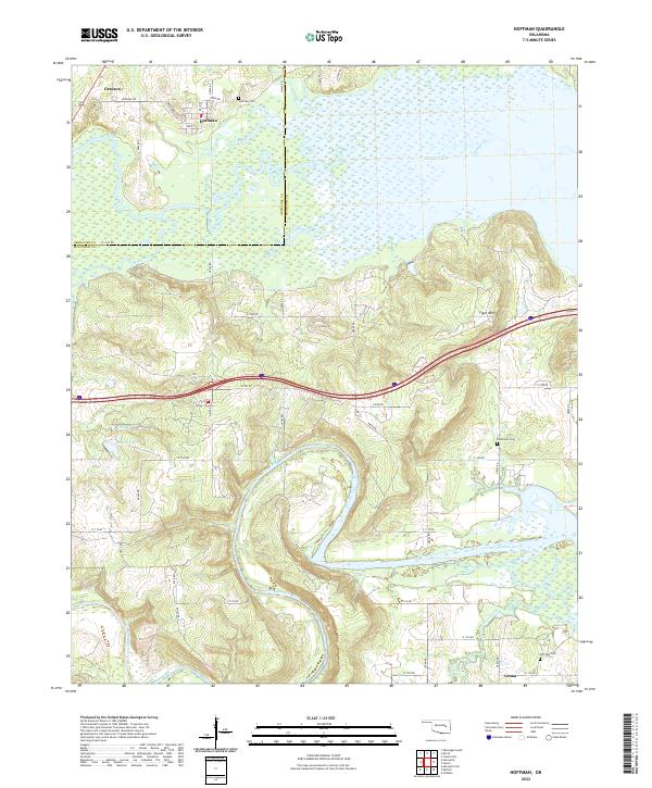 2022 Hoffman2022 Print · USGSThe river valleys and wetlands of the Okmulgee and McIntosh county border are captured here in recent detail. Genealogists and local historians can trace the family landmarks and rural settlements near Hoffman, including Grayson, Thompson Cem, and Tiger Mtn.
 - 2022 Map of Concharty Mountain, 2022 Print
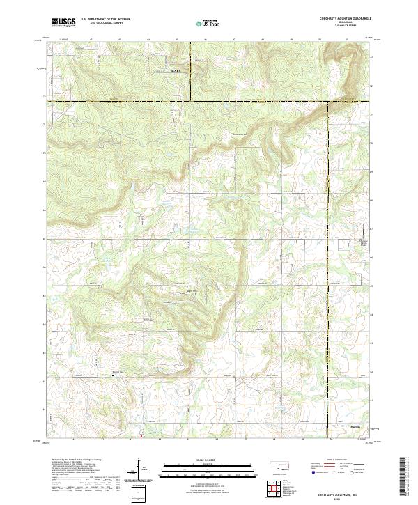 2022 Concharty Mountain2022 Print · USGSThe borderlands of Okmulgee and Tulsa counties are captured here in the early twenty-first century, showing a landscape of high ridges and rural homesteads. Genealogists and hikers can trace landmarks like Bald Hill Cem, Concharty Mtn, and the small community of Midway.
 - 2022 Map of Okmulgee Lake, 2022 Print
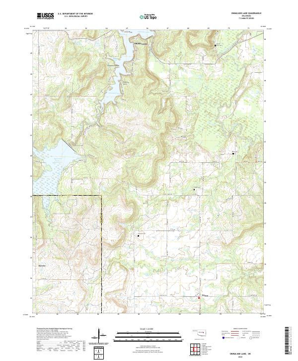 2022 Okmulgee Lake2022 Print · USGSThe Okmulgee region appears here as a complex network of lake coves and rural crossroads in the early twenty-first century. Researchers can locate several historic burial grounds including Indian Cem and Mount Zion Cem or trace the winding course of the Deep Fork.
End of results
Showing maps 1-17 of 17
Top cities of Okmulgee County
- Okmulgee historical maps
- Henryetta historical maps
- Beggs historical maps
- Morris historical maps
- Dewar historical maps
- Schulter historical maps
See more
Frequently asked questions
- What are the different types of historical maps available for Okmulgee County?
- What is the oldest map of Okmulgee County?
- Where can I purchase historical maps of Okmulgee County for my home or office?
- Where can I download high-res historical maps of Okmulgee County?
- Are there historical topographic maps available for Okmulgee County?
- Is there historical aerial imagery available for Okmulgee County?
- Where are historical maps of Okmulgee County sourced from?