2010s Maps of Okmulgee County, Oklahoma
Explore 68 historic maps of Okmulgee County from the 2010s. These maps offer a rare glimpse into what life looked like during the 2010s — showing old roads, neighborhoods, homes, and landmarks that have changed or disappeared over time.
Whether you're researching your family's past, planning a metal detecting trip, or studying how Okmulgee County's landscape evolved across the 2010s, these high-resolution maps are a powerful tool for exploring the history of this region.
- Focus on a specific era: All maps on this page are from the 2010s, giving you a focused view of this time period.
- See what’s changed: Compare century-old streets, trails, and buildings to today's modern landscape using overlays and satellite layers.
- Research with precision: Use these maps for genealogy, historical research, land use analysis, or educational projects.
- View, download, or print: Maps are fully viewable online in high resolution, and can be downloaded or printed for your own records.
Start exploring Okmulgee County's history through authentic maps from the 2010s. This is your window into the past.
Okmulgee County, OK maps
(68)- 2010 Map of Okmulgee North, 2010 Print
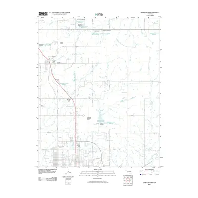 2010 Okmulgee North2010 Print · USGSOkmulgee County at the start of the decade reveals a complex network of rural infrastructure and water management. Genealogists can locate Jerusalem Cemetery and Miller Cemetery, while tracking landmarks like Camp Burke and the Okmulgee Municipal Airport.
 - 2010 Map of Okfuskee, 2010 Print
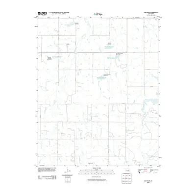 2010 Okfuskee2010 Print · USGSOkfuskee County at the start of the new millennium shows a landscape defined by traditional section roads and modern water management. Trace local heritage at Okfuskee Cemetery or follow the paths of Nuyaka Creek and Sixshooter Creek.
 - 2010 Map of Concharty Mountain, 2010 Print
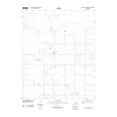 2010 Concharty Mountain2010 Print · USGSOklahoma's rural landscape south of Bixby is defined here by the elevations of Concharty Mountain and a web of prairie tributaries. Genealogists and historians can trace local landmarks like Bald Hill Cemetery and the many reservoirs along Rock Creek.
 - 2010 Map of Okmulgee Lake, 2010 Print
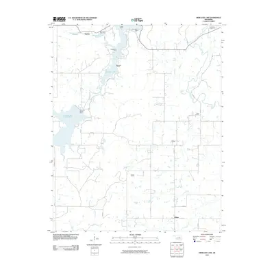 2010 Okmulgee Lake2010 Print · USGSOklahoma's Okmulgee County is shown here in the early twenty-first century, centered on a network of modern reservoirs and rural section roads. Researchers can trace family history through the Indian Cemetery and Sharp Cemetery or locate the infrastructure of the Okmulgee Waterworks.
 - 2010 Map of Okmulgee South, 2010 Print
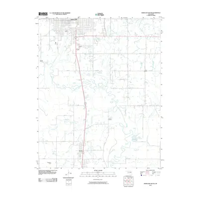 2010 Okmulgee South2010 Print · USGSOkmulgee and the surrounding Oklahoma bottomlands are captured here at the start of the 2010s. Genealogists can trace family histories at Oakwood Cemetery or Little Cussetah Cemetery, while exploring the landscape around Schulter and Elephant Knob.
 - 2010 Map of Kiefer SW, 2010 Print
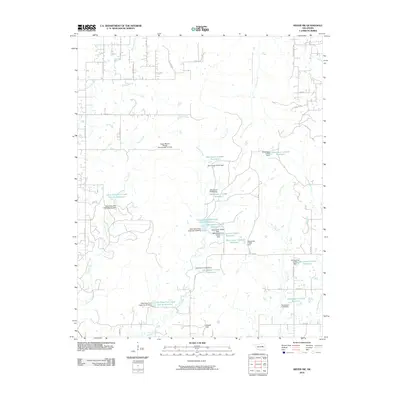 2010 Kiefer SW2010 Print · USGSCreek County at the start of the 2010s is a landscape of rural water management and family-named terrain. Researchers can trace the sophisticated network of flood control dams and reservoirs like Little Deep Fork Creek Site 54 Reservoir and the heights of Osage Hill.
 - 2010 Map of Boynton, 2010 Print
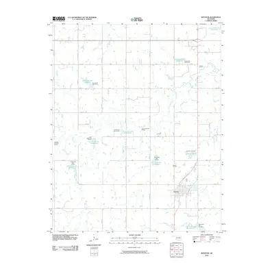 2010 Boynton2010 Print · USGSBoynton and the surrounding Muskogee County prairies are captured here in the early twenty-first century, showing a landscape defined by water management and rural tradition. Researchers can locate family sites near Boynton Cemetery, Lee Cemetery, and the shores of Boynton Lake.
 - 2010 Map of Beggs, 2010 Print
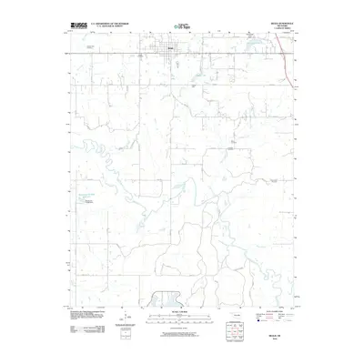 2010 Beggs2010 Print · USGSThe community of Beggs and the meandering Deep Fork river are captured here in the early twenty-first century. Genealogists can locate several family and community burial grounds, including the Old Post Oak Cemetery and Huckaby Cemetery.
 - 2010 Map of Nuyaka, 2010 Print
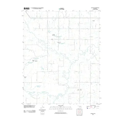 2010 Nuyaka2010 Print · USGSIn the early twenty-first century, this Okmulgee County landscape is defined by the winding Deep Fork and its complex system of oxbow lakes. Genealogists can locate several historic burial grounds here, including Old Nuyaka Cemetery, Tuskegee Cemetery, and Isparhecher Cemetery.
 - 2010 Map of Lake Boren, 2010 Print
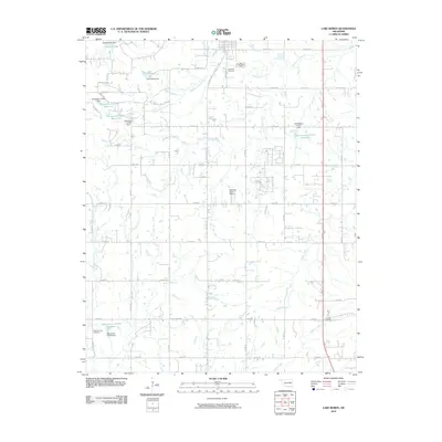 2010 Lake Boren2010 Print · USGSTulsa County at the start of the twenty-first century shows a landscape defined by prairie creeks and a growing residential grid. Researchers can trace family history at Oakwood Cemetery or locate landmarks like Lake Boren and Ragwing Acres Airport.
 - 2010 Map of Okmulgee NE, 2010 Print
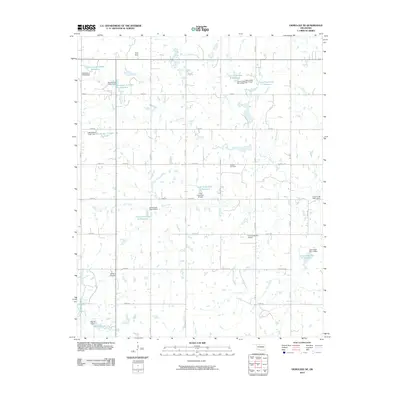 2010 Okmulgee NE2010 Print · USGSOkmulgee County at the start of the 2010s shows a landscape of agricultural roads and modern water management. Genealogists and local historians can locate Antioch Cemetery and family landmarks near Twin Hills or Morris Lake.
 - 2010 Map of Morris, 2010 Print
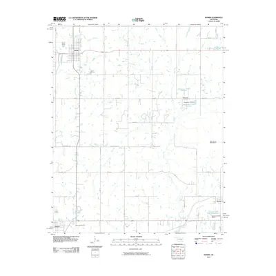 2010 Morris2010 Print · USGSOkmulgee County is captured here in the early twenty-first century, showing the established town of Morris and the rural community of Grayson. Genealogists and local historians can locate family sites at Morris Cemetery or trace the paths of Grave Creek and Moore Creek.
 - 2010 Map of Spanish Peak, 2010 Print
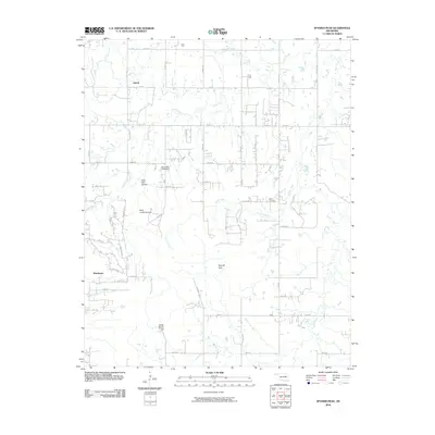 2010 Spanish Peak2010 Print · USGSThe rural landscape south of Tulsa is captured here in the early twenty-first century as small communities and family farms dot the plains. Genealogists and local historians can locate the Bruner Cemetery and trace the paths of Duck Creek or visit Hoot Owl Hollow.
 - 2010 Map of Hoffman, 2010 Print
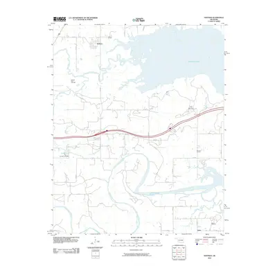 2010 Hoffman2010 Print · USGSEastern Oklahoma at the turn of the millennium shows a landscape defined by the expansive Eufaula Lake and the North Canadian River. Researchers can trace rural lineages through local landmarks like Hoffman Cemetery, Burney, and the heights of Tiger Mountain.
 - 2010 Map of Henryetta, 2010 Print
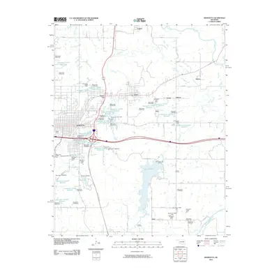 2010 Henryetta2010 Print · USGSHenryetta and its surrounding coal-country settlements are captured here in the early twenty-first century as the region’s industrial landscape evolved. Genealogists and historians can locate Salem Cemetery, the town of Dewar, and landmarks like Bald Knob.
 - 2010 Map of Pharoah, 2010 Print
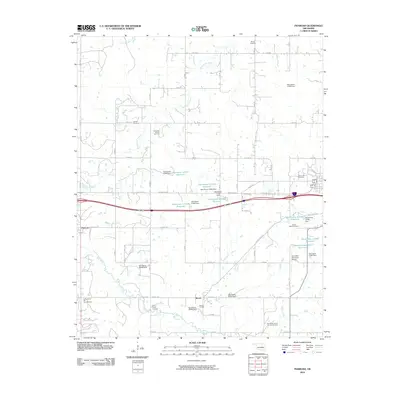 2010 Pharoah2010 Print · USGSOklahoma's energy landscape is on full display in this 2010 survey of Okmulgee County, where oil and gas fields intermingle with rural settlements. Researchers can trace family history through the West Lawn Cemetery and Barnet-Fisher Cemetery or locate industrial sites like the Lyons-Quinn Oil and Gas Field.
 - 2010 Map of Council Hill, 2010 Print
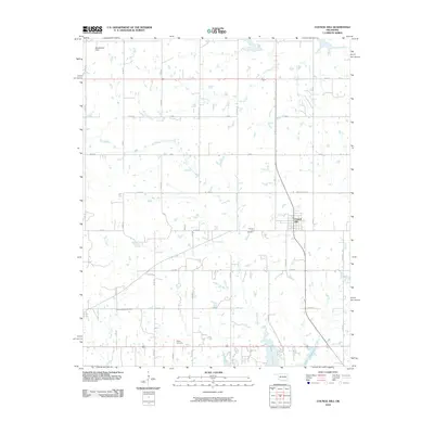 2010 Council Hill2010 Print · USGSCouncil Hill and the surrounding Oklahoma prairie are captured here at the start of the decade. Genealogists and local historians can trace family locations near the Council Hill Cemetery, Ridley Cemetery, and the northern banks of Lake Eufaula.
 - 2012 Map of Okfuskee, 2012 Print
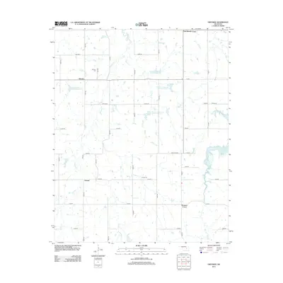 2012 Okfuskee2012 Print · USGSOklahoma's rural heartland is meticulously mapped here in the early 2010s, showing a landscape of sectional section roads and agricultural drainages. Genealogists and local historians can locate several family landmarks and burial sites, including Okfuskee Cem, Nuyaka Cem, and the community at Woodard Corner.
 - 2012 Map of Beggs, 2012 Print
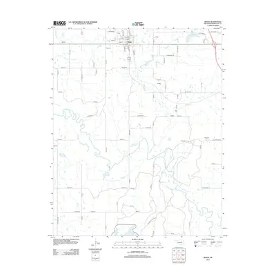 2012 Beggs2012 Print · USGSBeggs and the surrounding Okmulgee County countryside are shown here in the early twenty-first century, bounded by the winding Deep Fork. Researchers can locate several burial grounds like Beggs Cemetery and Old Post Oak Cemetery or trace the boundaries of the Okmulgee Wildlife Area.
 - 2012 Map of Pharoah, 2012 Print
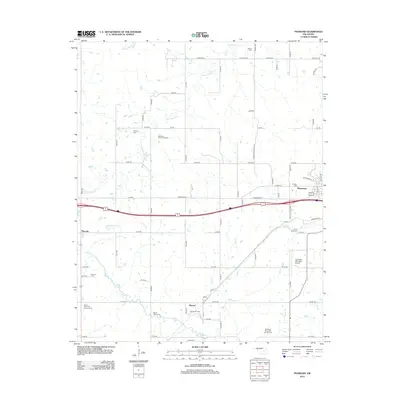 2012 Pharoah2012 Print · USGSOkmulgee County in the early twenty-first century remains defined by its deep ties to the petroleum industry and dispersed rural communities. Genealogists can trace family heritage at Arbeka Cem and Creek Mine Cem, or locate landmarks like the Henryetta Oil and Gas Field.
 - 2012 Map of Nuyaka, 2012 Print
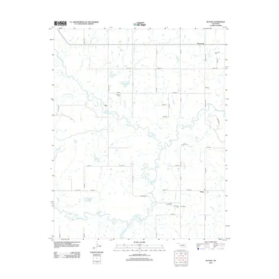 2012 Nuyaka2012 Print · USGSThe rural landscapes of Okmulgee County are captured here just over a decade ago, where the meandering Deep Fork meets a network of ancestral burial grounds. Genealogists can trace family sites at Old Nuyaka Cem and Isparhecher Cem near the historic settlements of Edna and Nuyaka.
 - 2012 Map of Morris, 2012 Print
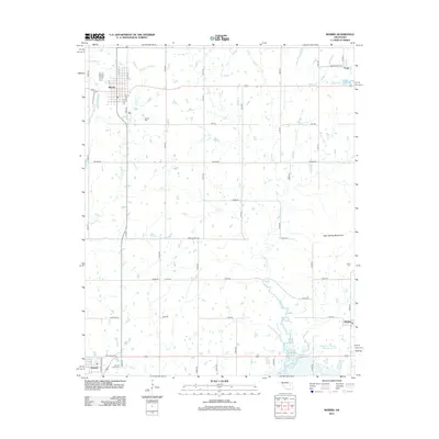 2012 Morris2012 Print · USGSOkmulgee County's prairie and creek systems are documented here in the early 2010s, centered on the community of Morris. Genealogists can trace several significant burial grounds including Indian Cem and Sacred Heart Cem near Grayson.
 - 2012 Map of Okmulgee NE, 2012 Print
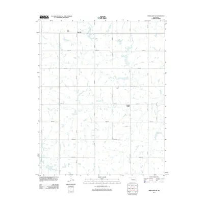 2012 Okmulgee NE2012 Print · USGSNorth of Morris in the early 2010s, this area shows a landscape of rural homesteads and an extensive reservoir network. Genealogists and local historians can locate Antioch Cem and trace the small communities at Pumpkin Center and Bald Hill.
 - 2012 Map of Spanish Peak, 2012 Print
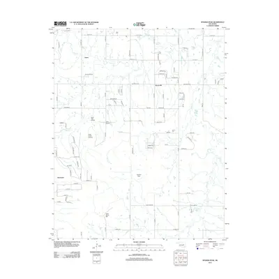 2012 Spanish Peak2012 Print · USGSSouthern Tulsa County in the early twenty-first century reveals a landscape where rural roots meet modern growth. Genealogists and local historians can trace family locations near Hectorville, Liberty, and Bruner Cemetery.
 - 2012 Map of Boynton, 2012 Print
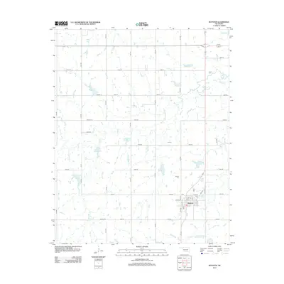 2012 Boynton2012 Print · USGSBoynton and its surrounding Muskogee County farmland are shown here in the early 21st century as a landscape shaped by water management. Genealogists and local researchers can trace family roots at Boynton Cem or find smaller sites like Charles Cem near Cane Cr.
Showing maps 1-25 of 68
Top cities of Okmulgee County
- Okmulgee historical maps
- Henryetta historical maps
- Beggs historical maps
- Morris historical maps
- Dewar historical maps
- Schulter historical maps
See more
Frequently asked questions
- What are the different types of historical maps available for Okmulgee County?
- What is the oldest map of Okmulgee County?
- Where can I purchase historical maps of Okmulgee County for my home or office?
- Where can I download high-res historical maps of Okmulgee County?
- Are there historical topographic maps available for Okmulgee County?
- Is there historical aerial imagery available for Okmulgee County?
- Where are historical maps of Okmulgee County sourced from?