Old Maps of Cartoco, Oklahoma for Hiking & Exploration
Hike through history with 11 historic maps of Cartoco. Explore old trails, ghost towns, and forgotten backroads — perfect for outdoor adventurers and local explorers.
- Rediscover forgotten places: Map out old mining camps, roads, and footpaths that no longer exist on modern maps.
- Layer with modern tools: Combine with LiDAR or satellite views to plan hikes through historical terrain.
- Made for exploration: Popular among hikers, overlanders, and local history lovers.
Use these maps to find adventure and explore the hidden past of Cartoco.
Cartoco, OK maps
(11)- 1929 Map of Yale, 1959 Print
 1929 Yale1959 Print · USGSOklahoma's oil and rail heartland comes into focus in the late 1920s as the petroleum industry reshapes the landscape of the former Indian Territory. Researchers can trace the extensive network of rural schools and industrial sites, from 35 Oil Tanks near Oilton to the many country schoolhouses like Lone Elm Sch and Bethel Sch.
 - 1932 Map of Yale
 1932 Yale1932 Print · USGSThe oil-rich landscape along the Cimarron River is captured here just after the peak of the regional boom. Researchers can locate early schools and burial sites like Pleasantvale Sch and Greenwood Cem, alongside major petroleum infrastructure like the 35 Oil Tanks near Oilton.3 unique versions available
 - 1955 Map of Enid, 1966 Print
 1955 Enid1966 Print · USGSNorth-central Oklahoma's transition from open plains to the blackjack hills of the Osage Indian Reservation is captured in the mid-1950s. Researchers can trace the development of the Naval Reserve Oil Field, the grounds of Vance AFB, and the early footprints of Tulsa and Stillwater.4 unique versions available
 - 1958 Map of Enid
 1958 Enid1958 Print · USGSNorthern Oklahoma is mapped here in the late fifties, showcasing a dense network of petroleum production and historic tribal lands. Researchers can trace the legacy of the Osage Indian Reservation, early energy hubs like the Cushing Oil Field, and the Chilocco Indian Agricultural School.2 unique versions available
 - 1978 Map of Yale, 1979 Print
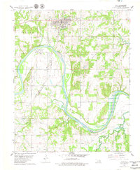 1978 Yale1979 Print · USGSPetroleum industry and river geography define this Payne County region in the late 1970s. Researchers can trace the legacy of the oil boom through the massive Tank Farm and the Oil fields surrounding Yale, while locating rural landmarks like Deep Rock Sch and Schlegel.
 - 1990 Map of Keystone Lake
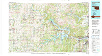 1990 Keystone Lake1990 Print · USGSNorth-central Oklahoma's landscape is captured here in the 1990s as the vast waters of Keystone Lake meet the Osage Indian Reservation. Researchers can trace old rail corridors like the St Louis-San Francisco Railway and find local landmarks such as Pawnee Bill State Park or the Oil Field at Oilton.
 - 2010 Map of Yale, 2010 Print
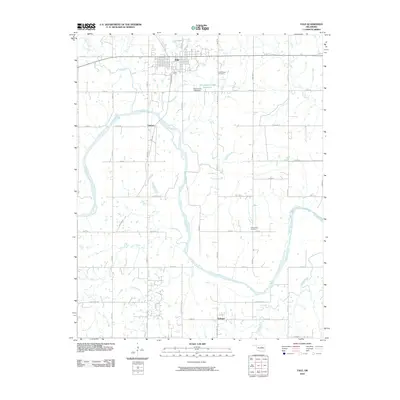 2010 Yale2010 Print · USGSOklahoma's Payne County landscape at the start of the 2010s reveals a region defined by the winding Cimarron River and steady rural growth. Genealogists and local historians can trace family locations near Yale, Schlegel, or the Underwood Cemetery.
 - 2012 Map of Yale, 2012 Print
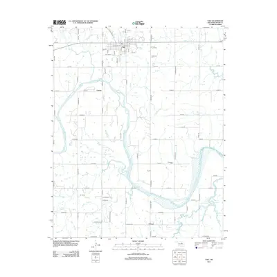 2012 Yale2012 Print · USGSPayne County, Oklahoma, is shown here as it appeared a decade ago, dominated by the sweeping curves of the Cimarron River. Researchers can trace local heritage through sites like Underwood Cem, the streets of Yale, and the rural community of Schlegel.
 - 2016 Map of Yale, 2016 Print
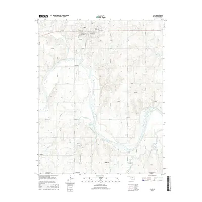 2016 Yale2016 Print · USGSPayne County at the center of the Oklahoma oil and ranching heartland is shown here in the mid-2010s. Genealogists and local historians can trace family locations near Yale and Schlegel, or locate burials at Underwood Cem and Greenwood Cem.
 - 2018 Map of Yale, 2018 Print
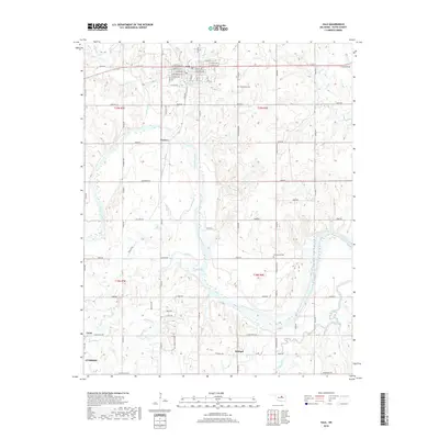 2018 Yale2018 Print · USGSPayne County’s landscape between Yale and Cushing is captured here in the late twenty-tens, showing the rural Oklahoma section lines and river bends. Genealogists and local historians can trace family locations near Underwood Cem, Schlegel, and the banks of the Cimarron River.
 - 2022 Map of Yale, 2022 Print
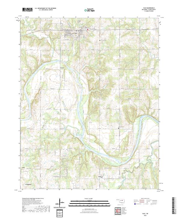 2022 Yale2022 Print · USGSThe Cimarron River valley in Payne County is revealed in high detail during the early 2020s, showing the rural landscape around Yale. Researchers can trace old family sites near Underwood Cem and the small communities of Schlegel and Cartoco.
End of results
Showing maps 1-11 of 11
Top cities near Cartoco
- Cushing historical maps
- Drumright historical maps
- Yale historical maps
- Oilton historical maps
- Glencoe historical maps
- Ripley historical maps
See more
Frequently asked questions
- What are the different types of historical maps available for Cartoco?
- What is the oldest map of Cartoco?
- Where can I purchase historical maps of Cartoco for my home or office?
- Where can I download high-res historical maps of Cartoco?
- Are there historical topographic maps available for Cartoco?
- Is there historical aerial imagery available for Cartoco?
- Where are historical maps of Cartoco sourced from?