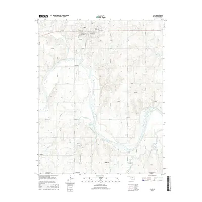
2016 Map of Yale
USGS Topo · Published 2016About this map
The town of Yale sits as a central hub in this section of Payne County, defined by the winding course of the Cimarron River which carves through the landscape to the south and east. This era of the mid-2010s shows a region where established settlements like Schlegel and Cartoco are linked by a precise grid of county roads, including E Deep Rock Rd and E Grandstaff Rd. The drainage network is dense, with Skull Creek, Salt Creek, and Euchee Creek feeding into the main river valley.
Find a feature on this map
69 named features on this map. Tap any name to fly to it.
Don’t see what you’re looking for? This feature index may not catch every label — zoom into the map to look around manually.
Map Details
Editions of this 2016 Yale Map
This is the sole edition of this map. No revisions or reprints were ever made.
Other maps of this area

1908 · Agra
USGS Topo · 1:62,500

1929 · Yale
USGS Topo · 1:62,500

1929 · Ripley
USGS Topo · 1:62,500

1931 · Drumright
USGS Topo · 1:62,500

1932 · Yale
USGS Topo · 1:62,500

1932 · Ripley
USGS Topo · 1:62,500

1954 · Oklahoma City
USGS Topo · 1:250,000

1955 · Enid
USGS Topo · 1:250,000

1957 · Oklahoma City
USGS Topo · 1:250,000

1958 · Enid
USGS Topo · 1:250,000