
1932 Map of Yale
USGS Topo · Published 1932About this map
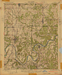
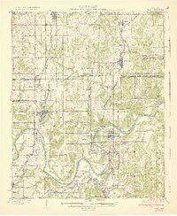
The Cimarron River winds through this 1932 depiction of Oklahoma's petroleum and agricultural heartland, where the infrastructure of the oil boom is clearly visible. Large installations like the 35 Oil Tanks near Oilton and further clusters near Schlegel signal the region's industrial importance during the late 1920s. A dense network of schools, such as Tiger Sch and Rosebud Sch, along with landmarks like Antioch Ch and Greenwood Cem, provide critical points of reference for genealogists tracing families in the Eagle and McElroy districts.
Find a feature on this map
62 named features on this map. Tap any name to fly to it.
Don’t see what you’re looking for? This feature index may not catch every label — zoom into the map to look around manually.
Map Details
Editions of this 1932 Yale Map
3 editions found
Other maps of this area

1901 · Nuyaka
USGS Topo · 1:125,000

1908 · Agra
USGS Topo · 1:62,500

1912 · Hominy
USGS Topo · 1:125,000

1915 · Hominy
USGS Topo · 1:125,000

1915 · Hominy
USGS Topo · 1:62,500

1916 · Bristow
USGS Topo · 1:62,500

1929 · Yale
USGS Topo · 1:62,500

1929 · Ripley
USGS Topo · 1:62,500

1929 · Skedee
USGS Topo · 1:62,500

1930 · Pawnee
USGS Topo · 1:62,500