Old Maps of Cheyenne, Oklahoma for Hiking & Exploration
Hike through history with 12 historic maps of Cheyenne. Explore old trails, ghost towns, and forgotten backroads — perfect for outdoor adventurers and local explorers.
- Rediscover forgotten places: Map out old mining camps, roads, and footpaths that no longer exist on modern maps.
- Layer with modern tools: Combine with LiDAR or satellite views to plan hikes through historical terrain.
- Made for exploration: Popular among hikers, overlanders, and local history lovers.
Use these maps to find adventure and explore the hidden past of Cheyenne.
Cheyenne, OK maps
(12)- 1955 Map of Clinton, 1964 Print
 1955 Clinton1964 Print · USGSWestern Oklahoma during the mid-century transition shows a landscape of growing reservoirs and active military flight lines. Genealogists and historians can locate rural landmarks such as Mountain View Church, Berlin School, and the Riverside Indian School Reserve.3 unique versions available
 - 1957 Map of Clinton
 1957 Clinton1957 Print · USGSWestern Oklahoma in the mid-fifties is captured here as a landscape of river-valley settlements and emerging energy fields. Genealogists can trace family roots through numerous rural landmarks like the Swapping Back Indian School, Hebron Church, and the Riverside Indian School Reserve.
 - 1960 Map of Cheyenne, 1961 Print
 1960 Cheyenne1961 Print · USGSRoger Mills County in the early sixties was a landscape defined by the winding Washita River and the critical corridor of the Panhandle and Santa Fe railroad. Genealogists and local historians can trace the foundations of the area through rural landmarks like Sandstone Sch, the town of Strong City, and the landing field at Cheyenne.3 unique versions available
 - 1984 Map of Foss Reservoir
 1984 Foss Reservoir1984 Print · USGSWestern Oklahoma’s river valleys and prairie grasslands are captured here in the mid-eighties, a period of established reservoirs and active energy production. Researchers can trace rural lineages through local hubs like Cheyenne and Hammon or locate landmarks such as the Antelope Hills and Foss Reservoir.
 - 1989 Map of Cheyenne
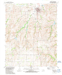 1989 Cheyenne1989 Print · USGSWestern Oklahoma ranching and energy extraction converge in this late-century look at the Roger Mills county seat. Researchers can trace family history at the Cheyenne Cemetery or follow the remains of the Old Railroad Grade through the Black Kettle National Grassland.
 - 1990 Map of Foss Reservoir, 1991 Print
 1990 Foss Reservoir1991 Print · USGSWestern Oklahoma’s prairie and river systems are shown here as they appeared in the 1990s, dominated by conservation lands and water management. Researchers can trace the rail paths of the Atchison Topeka and Santa Fe and locate old rural centers like Strong City and Hammon.
 - 1998 Map of Cheyenne, 2001 Print
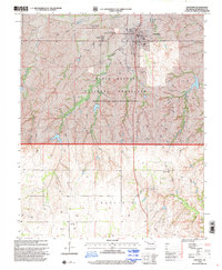 1998 Cheyenne2001 Print · USGSWestern Oklahoma’s prairie landscape is documented here in the late 1990s, centered on the historic Washita River valley. Genealogists and historians can locate the Cheyenne Cemetery, the Battle of the Washita Historical Marker, and the small community of Rosehill.
 - 2011 Map of Cheyenne, 2011 Print
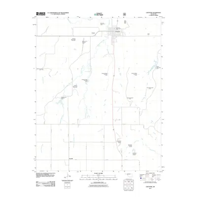 2011 Cheyenne2011 Print · USGSThe town of Cheyenne and its surrounding prairie landscape are documented here in the early twenty-first century. Researchers can trace land management through numerous named dams and sites like Rosehill, the Cheyenne Cemetery, and the Washita River valley.
 - 2012 Map of Cheyenne, 2012 Print
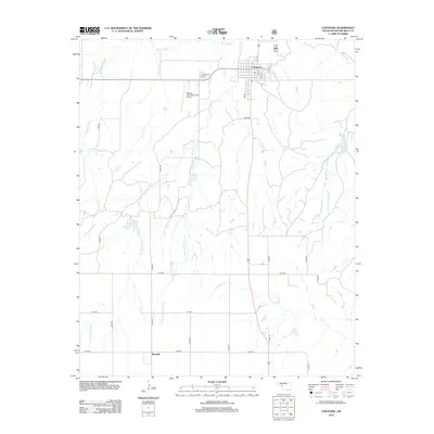 2012 Cheyenne2012 Print · USGSCheyenne and the surrounding Roger Mills County plains are shown in this modern survey, defined by the northern sweep of the Washita River. Genealogists and local historians can locate the Cheyenne Cem or trace the small settlement of Rosehill.
 - 2016 Map of Cheyenne, 2016 Print
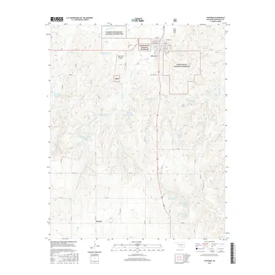 2016 Cheyenne2016 Print · USGSRoger Mills County in the mid-2010s reveals a prairie landscape defined by the Washita River and federal land management. Researchers can locate the Washita Battlefield National Historic Site and the rural community of Rosehill.
 - 2018 Map of Cheyenne, 2018 Print
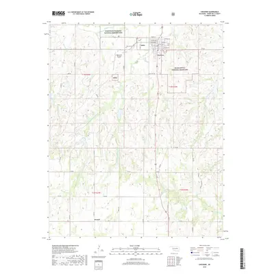 2018 Cheyenne2018 Print · USGSWestern Oklahoma's high plains are documented here in the 2010s, centered on the historic river valley and the town of Cheyenne. Genealogists and historians can locate the Cheyenne Cem, the Washita Battlefield National Historic Site, and the scattered lands of the Black Kettle National Grassland.
 - 2022 Map of Cheyenne, 2022 Print
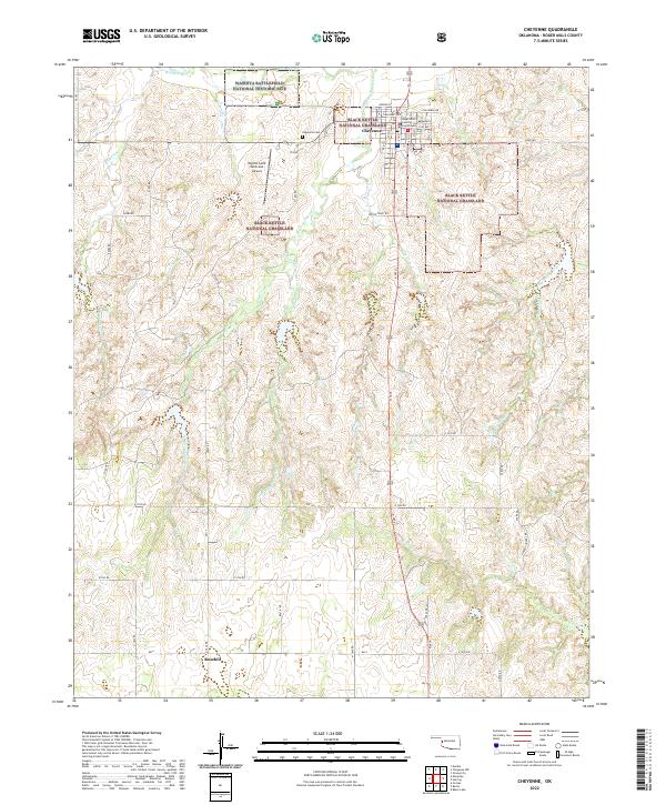 2022 Cheyenne2022 Print · USGSRoger Mills County in the early twenty-first century remains centered on its seat of justice and its complex historical landscape. Researchers can trace the layout of Cheyenne and find landmarks like the Roger Mills County Courthouse or the Washita Battlefield National Historic Site.
End of results
Showing maps 1-12 of 12
Top cities near Cheyenne
Frequently asked questions
- What are the different types of historical maps available for Cheyenne?
- What is the oldest map of Cheyenne?
- Where can I purchase historical maps of Cheyenne for my home or office?
- Where can I download high-res historical maps of Cheyenne?
- Are there historical topographic maps available for Cheyenne?
- Is there historical aerial imagery available for Cheyenne?
- Where are historical maps of Cheyenne sourced from?