2000s (21st Century) Maps of Wagoner, Oklahoma
Explore 20 historic maps of Wagoner from the 2000s (21st Century). These maps offer a rare glimpse into what life looked like during the 2000s — showing old roads, neighborhoods, homes, and landmarks that have changed or disappeared over time.
Whether you're researching your family's past, planning a metal detecting trip, or studying how Wagoner's landscape evolved across the 2000s, these high-resolution maps are a powerful tool for exploring the history of this region.
- Focus on a specific era: All maps on this page are from the 2000s, giving you a focused view of this time period.
- See what’s changed: Compare century-old streets, trails, and buildings to today's modern landscape using overlays and satellite layers.
- Research with precision: Use these maps for genealogy, historical research, land use analysis, or educational projects.
- View, download, or print: Maps are fully viewable online in high resolution, and can be downloaded or printed for your own records.
Start exploring Wagoner's history through authentic maps from the 2000s. This is your window into the past.
Wagoner, OK maps
(20)- 2010 Map of Neodesha, 2010 Print
 2010 Neodesha2010 Print · USGSCovers Wagoner, including Keith, Neodesha, and other nearby areas
 - 2010 Map of Wagoner West, 2010 Print
 2010 Wagoner West2010 Print · USGSCovers Wagoner, including Wagoner County, United States, and other nearby areas
 - 2010 Map of Rocky Point, 2010 Print
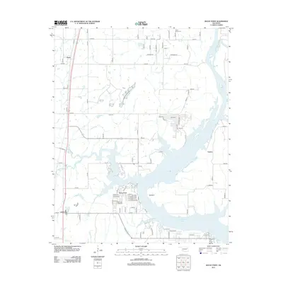
 2010 Rocky Point2010 Print · USGSCovers Wagoner, including Yonkers, Rocky Point, and other nearby areas
 - 2010 Map of Wagoner East, 2010 Print
 2010 Wagoner East2010 Print · USGSCovers Wagoner, including Taylor Ferry, Toppers, and other nearby areas
 - 2012 Map of Neodesha, 2012 Print
 2012 Neodesha2012 Print · USGSCovers Wagoner, including Keith, Neodesha, and other nearby areas
 - 2012 Map of Wagoner West, 2012 Print
 2012 Wagoner West2012 Print · USGSCovers Wagoner, including Wagoner County, United States, and other nearby areas
 - 2012 Map of Wagoner East, 2012 Print
 2012 Wagoner East2012 Print · USGSCovers Wagoner, including Taylor Ferry, Toppers, and other nearby areas
 - 2013 Map of Rocky Point, 2013 Print
 2013 Rocky Point2013 Print · USGSCovers Wagoner, including Yonkers, Rocky Point, and other nearby areas
 - 2016 Map of Wagoner West, 2016 Print
 2016 Wagoner West2016 Print · USGSCovers Wagoner, including Wagoner County, United States, and other nearby areas
 - 2016 Map of Wagoner East, 2016 Print
 2016 Wagoner East2016 Print · USGSCovers Wagoner, including Taylor Ferry, Toppers, and other nearby areas
 - 2016 Map of Rocky Point, 2016 Print
 2016 Rocky Point2016 Print · USGSCovers Wagoner, including Yonkers, Rocky Point, and other nearby areas
 - 2016 Map of Neodesha, 2016 Print
 2016 Neodesha2016 Print · USGSCovers Wagoner, including Keith, Neodesha, and other nearby areas
 - 2018 Map of Wagoner West, 2018 Print
 2018 Wagoner West2018 Print · USGSCovers Wagoner, including Wagoner County, United States, and other nearby areas
 - 2018 Map of Wagoner East, 2018 Print
 2018 Wagoner East2018 Print · USGSCovers Wagoner, including Taylor Ferry, Toppers, and other nearby areas
 - 2018 Map of Rocky Point, 2018 Print
 2018 Rocky Point2018 Print · USGSCovers Wagoner, including Yonkers, Rocky Point, and other nearby areas
 - 2019 Map of Neodesha, 2019 Print
 2019 Neodesha2019 Print · USGSCovers Wagoner, including Keith, Neodesha, and other nearby areas
 - 2022 Map of Wagoner West, 2022 Print
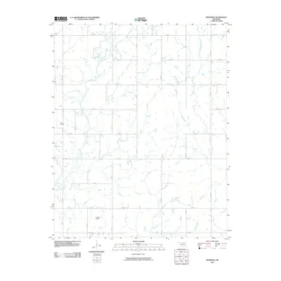
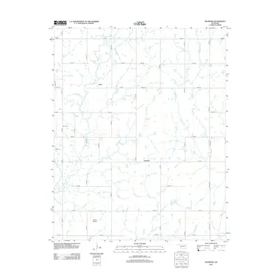
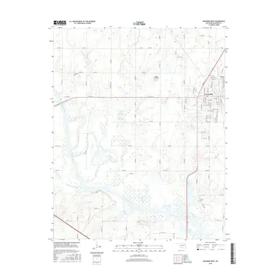
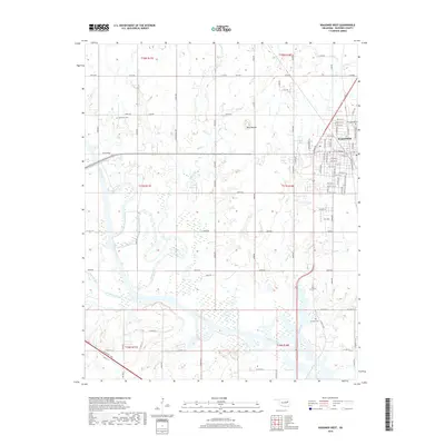
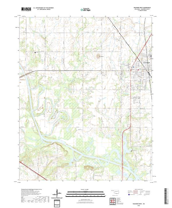 2022 Wagoner West2022 Print · USGSWagoner and the surrounding Verdigris River valley are shown in the early 2020s as a landscape of grid-pattern roads and river bends. Researchers can locate family burial sites at Sandtown Cem and Elmwood Cem or trace the Union Pacific rail corridor.
 - 2022 Map of Wagoner East, 2022 Print
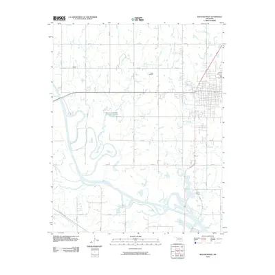
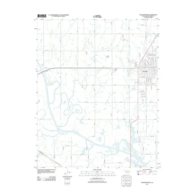
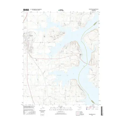
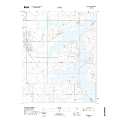
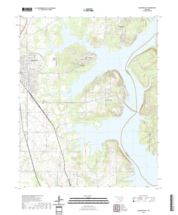 2022 Wagoner East2022 Print · USGSFort Gibson Lake defines the eastern Oklahoma landscape in the early twenty-first century, where the impounded Neosho River creates a sprawling shoreline. Researchers can locate the Wagoner County Courthouse and trace local family history at the Pioneer Memorial Cem or North Ray Cem.
 - 2022 Map of Neodesha, 2022 Print
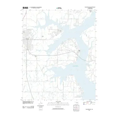
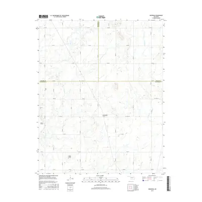
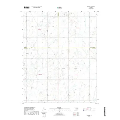
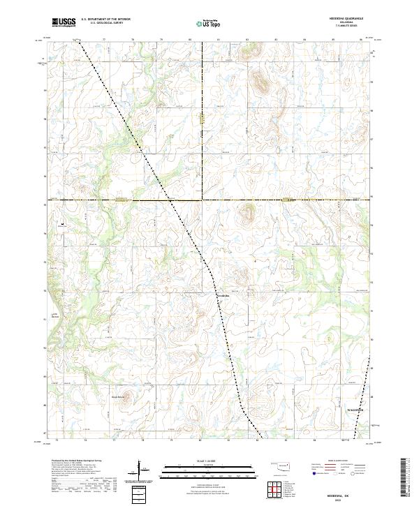 2022 Neodesha2022 Print · USGSNortheastern Oklahoma’s ranching country at the meeting of three counties is captured here in the early twenty-first century. Researchers can trace family-named sites like Willow Cem, Guinn Bottom, and the prominent local landmark of Osage Mound.
 - 2022 Map of Rocky Point, 2022 Print
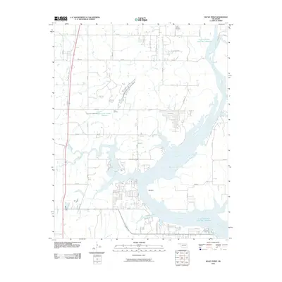
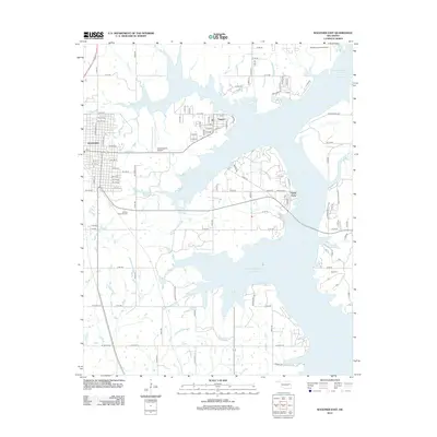
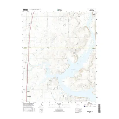
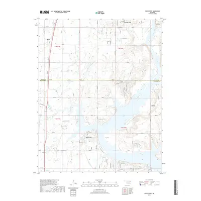
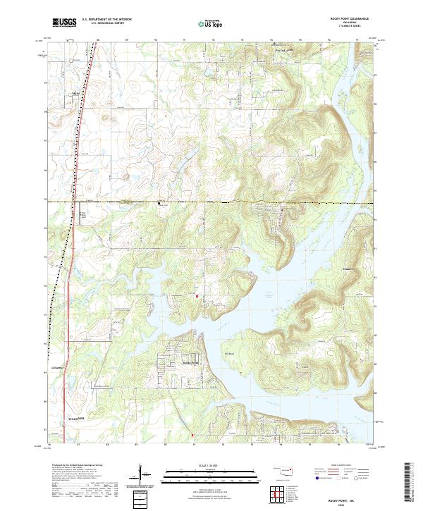 2022 Rocky Point2022 Print · USGSThe river valleys and reservoirs of eastern Oklahoma are shown here in modern detail, where the Neosho River meets Fort Gibson Lake. You can trace historical burial grounds like Union Mission Cem and follow the Union Pacific RR through Mazie and Leliaetta.
End of results
Showing maps 1-20 of 20
Top cities near Wagoner
- Muskogee historical maps
- Coweta historical maps
- Chouteau historical maps
- Inola historical maps
- Locust Grove historical maps
- Okay historical maps
See more
Frequently asked questions
- What are the different types of historical maps available for Wagoner?
- What is the oldest map of Wagoner?
- Where can I purchase historical maps of Wagoner for my home or office?
- Where can I download high-res historical maps of Wagoner?
- Are there historical topographic maps available for Wagoner?
- Is there historical aerial imagery available for Wagoner?
- Where are historical maps of Wagoner sourced from?