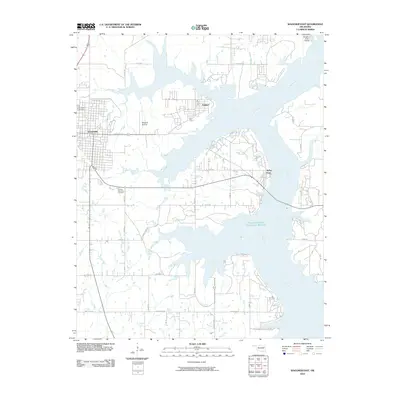
2010 Map of Wagoner East
USGS Topo · Published 2010About this map
The Neosho River and its expansive backwaters dominate this portion of Wagoner County, where the rising waters of the mid-20th century transformed the local topography into a complex network of points and bays. To the west, the city of Wagoner serves as a primary hub, while smaller lakeside communities like Toppers and Taylor Ferry highlight the region's shift toward a water-based economy. For those tracing local heritage, the map identifies Elmwood Cemetery and Pioneer Memorial Cemetery, alongside family-named routes such as Bar None Ranch Rd. The presence of the Whitehorn Cove Airport and the Wagoner Airstrip underscore the area's role in regional aviation, while the Fitzgerald-Soldier Creek Site 1 Reservoir and Wahoo Bay illustrate the managed water systems that define the modern Oklahoma landscape.
Find a feature on this map
32 named features on this map. Tap any name to fly to it.
Don’t see what you’re looking for? This feature index may not catch every label — zoom into the map to look around manually.
Map Details
Editions of this 2010 Wagoner East Map
This is the sole edition of this map. No revisions or reprints were ever made.
Other maps of this area

1896 · Pryor
USGS Topo · 1:125,000

1901 · Muscogee
USGS Topo · 1:125,000

1901 · Pryor
USGS Topo · 1:125,000

1905 · Muscogee
USGS Topo · 1:125,000

1946 · Fort Smith
USGS Topo · 1:250,000

1948 · Hulbert
USGS Topo · 1:62,500

1948 · Wagoner
USGS Topo · 1:62,500

1950 · Wagoner
USGS Topo · 1:62,500

1950 · Hulbert
USGS Topo · 1:62,500

1954 · Tulsa
USGS Topo · 1:250,000