2010s Maps of Wagoner, Oklahoma
Explore 16 historic maps of Wagoner from the 2010s. These maps offer a rare glimpse into what life looked like during the 2010s — showing old roads, neighborhoods, homes, and landmarks that have changed or disappeared over time.
Whether you're researching your family's past, planning a metal detecting trip, or studying how Wagoner's landscape evolved across the 2010s, these high-resolution maps are a powerful tool for exploring the history of this region.
- Focus on a specific era: All maps on this page are from the 2010s, giving you a focused view of this time period.
- See what’s changed: Compare century-old streets, trails, and buildings to today's modern landscape using overlays and satellite layers.
- Research with precision: Use these maps for genealogy, historical research, land use analysis, or educational projects.
- View, download, or print: Maps are fully viewable online in high resolution, and can be downloaded or printed for your own records.
Start exploring Wagoner's history through authentic maps from the 2010s. This is your window into the past.
Wagoner, OK maps
(16)- 2010 Map of Neodesha, 2010 Print
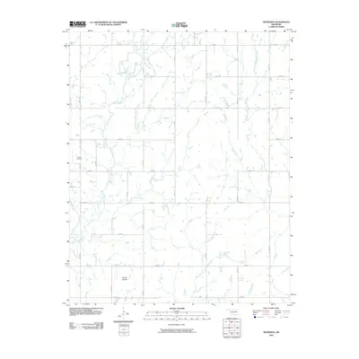 2010 Neodesha2010 Print · USGSWagoner County is shown at the turn of the decade as a rural network of farm-to-market roads and quiet creek valleys. Genealogists and local historians can locate Willow Cemetery, trace the path of Billy Creek, and identify the unique landform of Osage Mound.
 - 2010 Map of Wagoner West, 2010 Print
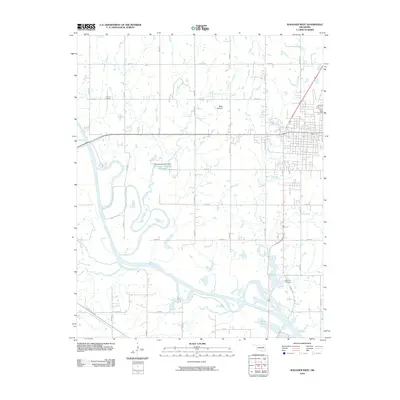 2010 Wagoner West2010 Print · USGSWagoner County at the start of the 2010s shows a landscape shaped by river transport and rural heritage. Genealogists and local historians can locate Grayson Cemetery, the Port of Dunkin along the Verdigris River, and the landmark Blue Mound.
 - 2010 Map of Rocky Point, 2010 Print
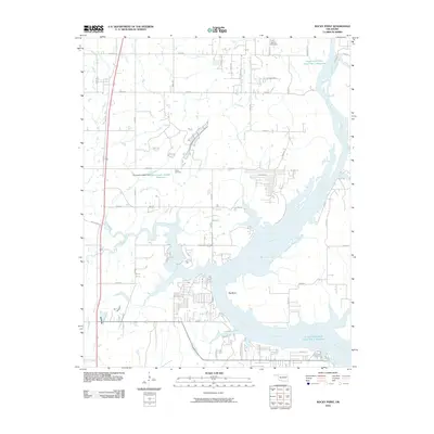 2010 Rocky Point2010 Print · USGSThe Neosho River corridor in Wagoner County is captured here just over a decade ago, showing a landscape defined by its winding waterways and reservoirs. Trace local history at the Union Mission Cemetery or follow the path of Poindexter Ferry Rd toward the Big Bend.
 - 2010 Map of Wagoner East, 2010 Print
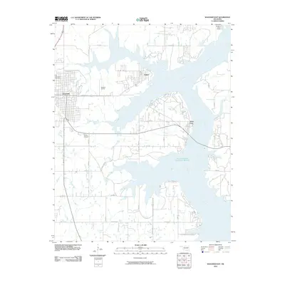 2010 Wagoner East2010 Print · USGSWagoner County at the start of the 2010s shows a landscape defined by the expansive waters of the Neosho River. Genealogists and local historians can locate Elmwood Cemetery, the Wagoner Airstrip, and the lakeside community of Taylor Ferry.
 - 2012 Map of Neodesha, 2012 Print
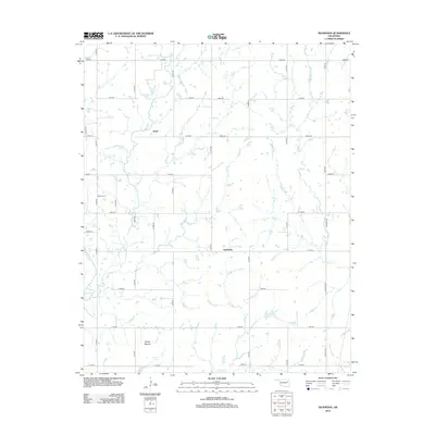 2012 Neodesha2012 Print · USGSWagoner County in the early twenty-first century maintains its rural character through a geometric grid of country roads and prairie creeks. Researchers can locate Willow Cem and identify the distinctive Osage Mound alongside the settlements of Neodesha and Keith.
 - 2012 Map of Wagoner West, 2012 Print
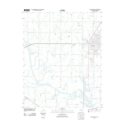 2012 Wagoner West2012 Print · USGSWagoner and the surrounding Oklahoma prairie are captured here in the early twenty-first century, just west of the city center. Trace local lineage and landscape at Elmwood Cem, see the winding Verdigris River, or locate landmarks like Blue Mound.
 - 2012 Map of Wagoner East, 2012 Print
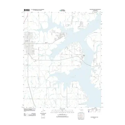 2012 Wagoner East2012 Print · USGSThe eastern outskirts of Wagoner met the expanding waters of the local reservoir in the early twenty-first century. Researchers can trace lakeside developments like Taylor Ferry and find family sites at Pioneer Memorial Cem or Ray Cem.
 - 2013 Map of Rocky Point, 2013 Print
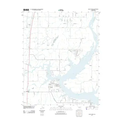 2013 Rocky Point2013 Print · USGSNortheastern Oklahoma’s lakeside communities and rail corridors are documented here in the early twenty-first century. Genealogists and local historians can trace the sites of Union Mission Cem and Fisher Cem or locate the small settlements of Mazie and Leliaetta.
 - 2016 Map of Wagoner West, 2016 Print
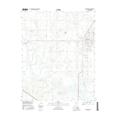 2016 Wagoner West2016 Print · USGSWagoner and its western river bottomlands are captured here in the mid-2010s as the town extends toward the Verdigris River. Genealogists and local historians can locate Sandtown Cem, Grayson Cem, and the prominent landmark of Blue Mound.
 - 2016 Map of Wagoner East, 2016 Print
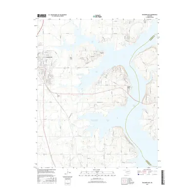 2016 Wagoner East2016 Print · USGSWagoner County and Cherokee County meet along the irregular shores of Fort Gibson Lake in the mid-2010s. Trace the lakefront communities of Toppers and Taylor Ferry, or locate family sites at Pioneer Memorial Cem and Ray Cem.
 - 2016 Map of Rocky Point, 2016 Print
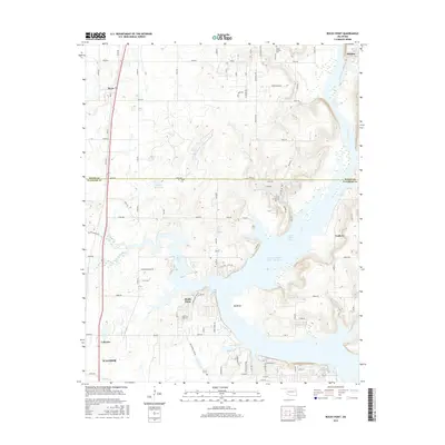 2016 Rocky Point2016 Print · USGSMayes and Wagoner Counties are shown in the mid-2010s as the landscape centers around the sprawling waters of Fort Gibson Lake. Researchers can trace local history through sites like Union Mission Cem and settlements such as Mazie and Leliaetta.
 - 2016 Map of Neodesha, 2016 Print
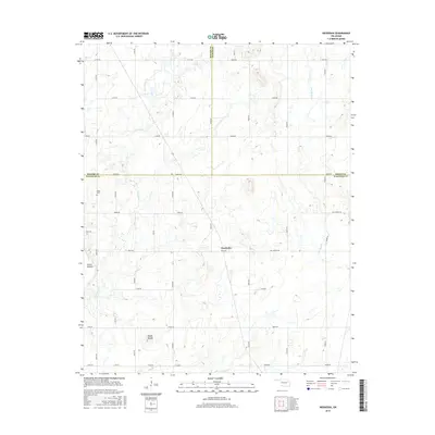 2016 Neodesha2016 Print · USGSWagoner County at the Rogers and Mayes county lines is captured here as a landscape of rural ranching and established prairie homesteads. Researchers can trace local lineages through Willow Cem and family landmarks like Osage Mound or Doc Harris Rd.
 - 2018 Map of Wagoner West, 2018 Print
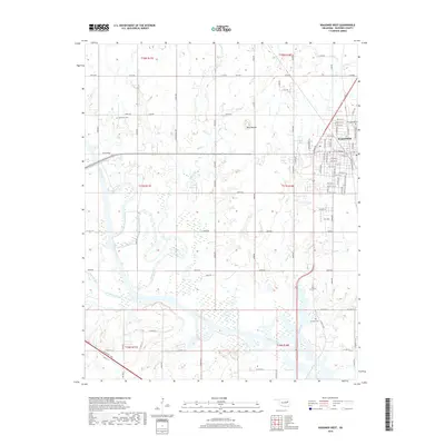 2018 Wagoner West2018 Print · USGSWagoner County at the tail end of the twenty-teens shows a landscape where the western edge of Wagoner meets the Verdigris River valley. Genealogists can trace family heritage at Sandtown Cem, Elmwood Cem, and landmarks like Blue Mound.
 - 2018 Map of Wagoner East, 2018 Print
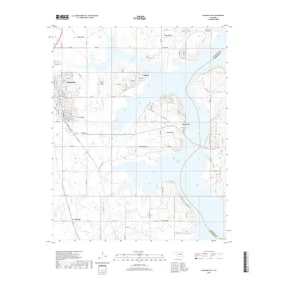 2018 Wagoner East2018 Print · USGSThe eastern reaches of Wagoner and the winding shores of Fort Gibson Lake are captured here during the late 2010s. Genealogists and local historians can locate Pioneer Memorial Cem, Ray Cem, and the lakeside settlements of Toppers and Taylor Ferry.
 - 2018 Map of Rocky Point, 2018 Print
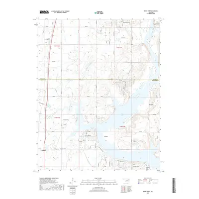 2018 Rocky Point2018 Print · USGSThe shorelines of northeastern Oklahoma come into focus in this recent survey of the Wagoner and Mayes county border. Local historians and property researchers can trace modern access roads to landmark sites like Union Mission Cem, Yonkers, and the Whitehorn Cove Airport.
 - 2019 Map of Neodesha, 2019 Print
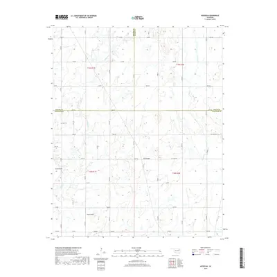 2019 Neodesha2019 Print · USGSNortheastern Oklahoma's rural ranch lands and creek bottoms are captured here as they appeared in 2019. Local researchers can trace family-named landmarks like Hall Ranch Rd and find the location of Willow Cem and Osage Mound.
End of results
Showing maps 1-16 of 16
Top cities near Wagoner
- Muskogee historical maps
- Coweta historical maps
- Chouteau historical maps
- Inola historical maps
- Locust Grove historical maps
- Okay historical maps
See more
Frequently asked questions
- What are the different types of historical maps available for Wagoner?
- What is the oldest map of Wagoner?
- Where can I purchase historical maps of Wagoner for my home or office?
- Where can I download high-res historical maps of Wagoner?
- Are there historical topographic maps available for Wagoner?
- Is there historical aerial imagery available for Wagoner?
- Where are historical maps of Wagoner sourced from?