Old Maps of Foss, Oklahoma for Academic Research
Study the evolution of Foss with 11 high-resolution historic maps. Whether you're teaching, researching, or modeling changes in land use, these maps provide essential visual documentation of urban, environmental, and geographic change.
- Analyze long-term change: Track patterns in development, transportation, and natural features.
- Ideal for environmental or urban studies: Support academic projects with primary historical map data.
- Use in the classroom or lab: Educators and researchers rely on these maps to bring historical context to life.
These maps are a powerful tool for teaching, research, and visualizing how Foss has changed over the decades.
Foss, OK maps
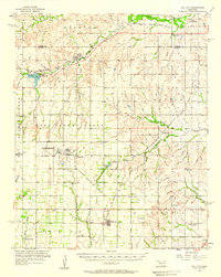
(11)- 1955 Map of Clinton, 1964 Print
 1955 Clinton1964 Print · USGSWestern Oklahoma during the mid-century transition shows a landscape of growing reservoirs and active military flight lines. Genealogists and historians can locate rural landmarks such as Mountain View Church, Berlin School, and the Riverside Indian School Reserve.3 unique versions available
 - 1957 Map of Clinton
 1957 Clinton1957 Print · USGSWestern Oklahoma in the mid-fifties is captured here as a landscape of river-valley settlements and emerging energy fields. Genealogists can trace family roots through numerous rural landmarks like the Swapping Back Indian School, Hebron Church, and the Riverside Indian School Reserve.
 - 1957 Map of Dill City, 1958 Print
 1957 Dill City1958 Print · USGSWestern Oklahoma during the late fifties centers on the expansive Clinton-Sherman Air Force Base and the crossroads of the Santa Fe and Rock Island railroads. Genealogists can trace family names through dozens of rural sites like Kerns Cem, Novis Cem, and the Parkersburg Sch.3 unique versions available
 - 1976 Map of Dill City NE
 1976 Dill City NE1976 Print · USGSWashita County in the mid-seventies shows a landscape defined by agricultural precision and significant water infrastructure. You can trace the winding path of Turkey Creek as it feeds into Clinton Lake and locate the settlement of Foss.
 - 1983 Map of Foss, 1984 Print
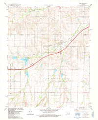 1983 Foss1984 Print · USGSWashita County's agricultural landscape is captured here in the early eighties as the FARMRAIL line and Highway 66 cut through the plains. Genealogists and local historians can trace legacy sites like Old Foss Cem, St Francis Cem, and the water works at Clinton Lake.
 - 1985 Map of Elk City
 1985 Elk City1985 Print · USGSWestern Oklahoma in the 1980s is defined by its railroad junctions, emerging aviation hubs, and the winding North Fork Red River. Genealogists and local historians can trace the foundations of Sayre and Elk City, alongside landmarks like Clinton-Sherman Airport and Quartz Mountain State Park.2 unique versions available
 - 2010 Map of Foss, 2010 Print
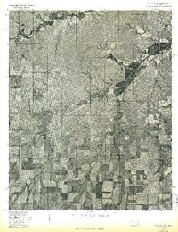
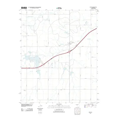
 2010 Foss2010 Print · USGSCovers Foss, including Custer County, Washita County, and other nearby areas
 - 2012 Map of Foss, 2012 Print
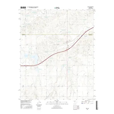
 2012 Foss2012 Print · USGSCovers Foss, including Custer County, Washita County, and other nearby areas
 - 2016 Map of Foss, 2016 Print
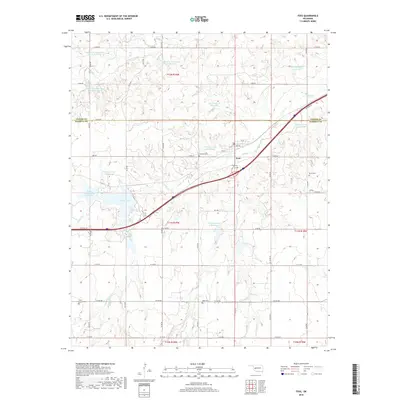
 2016 Foss2016 Print · USGSCovers Foss, including Custer County, Washita County, and other nearby areas
 - 2018 Map of Foss, 2018 Print
 2018 Foss2018 Print · USGSCovers Foss, including Custer County, Washita County, and other nearby areas
 - 2022 Map of Foss, 2022 Print
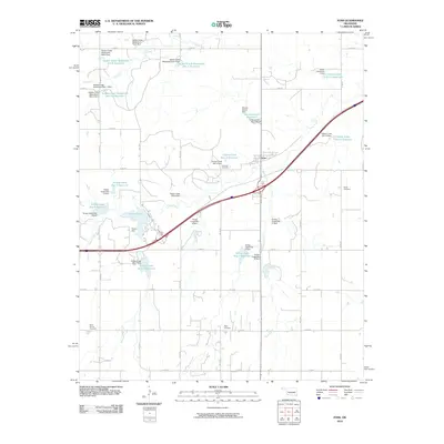
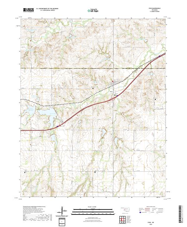 2022 Foss2022 Print · USGSWestern Oklahoma agriculture and water management are on full display in this study of the Foss area. Researchers can trace rural lineages through local burial grounds like Old Foss Cem and Saint Francis Cem while exploring the engineered network of Clinton Lake and surrounding reservoirs.
End of results
Showing maps 1-11 of 11
Top cities near Foss
- Elk City historical maps
- Clinton historical maps
- New Cordell historical maps
- Burns Flat historical maps
- Arapaho historical maps
- Dill City historical maps
See more
Frequently asked questions
- What are the different types of historical maps available for Foss?
- What is the oldest map of Foss?
- Where can I purchase historical maps of Foss for my home or office?
- Where can I download high-res historical maps of Foss?
- Are there historical topographic maps available for Foss?
- Is there historical aerial imagery available for Foss?
- Where are historical maps of Foss sourced from?