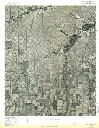
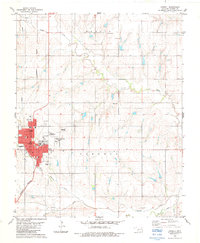
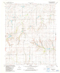
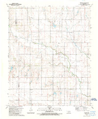
1976 Map of Dill City NE
USGS Topo · Published 1976This historical map portrays the area of Dill City NE in 1976, primarily covering Washita County as well as portions of Custer County. Featuring a scale of 1:24000, this map provides a highly detailed snapshot of the terrain, roads, buildings, counties, and historical landmarks in the Dill City NE region at the time. Published in 1976, it is the sole known edition of this map.
Find a feature on this map
3 named features on this map. Tap any name to fly to it.
Don’t see what you’re looking for? This feature index may not catch every label — zoom into the map to look around manually.
Map Details
Editions of this 1976 Dill City NE Map
This is the sole edition of this map. No revisions or reprints were ever made.
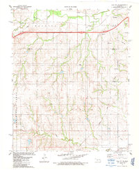
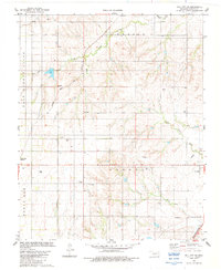
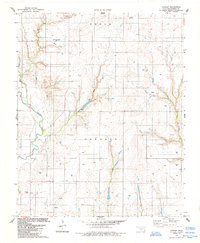
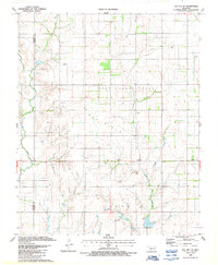
Historical Maps of Foss Through Time
13 maps found
1956 Cordell
Washita County, OK
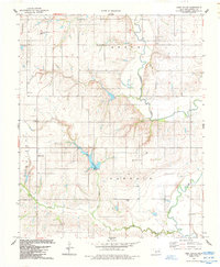
1976 Dill City NE
Washita County, OK
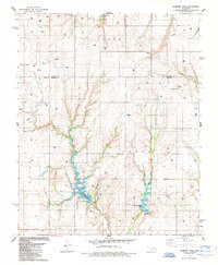
1976 Dill City SE
Washita County, OK
1983 Cloud Chief
Washita County, OK
1983 Cordell
Washita County, OK
1983 Dill City NE
Washita County, OK
1983 Dill City SE
Washita County, OK
1984 Cowden
Washita County, OK
1984 Gotebo NW
Washita County, OK
1984 Lake Valley
Washita County, OK
1985 Crowder Lake
Washita County, OK
1987 Elk City SE
Washita County, OK
1989 Retrop
Washita County, OK