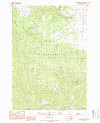
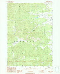
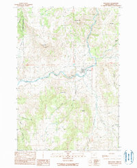
1990s Maps of Grant County, Oregon
Explore 149 historic maps of Grant County from the 1990s. These maps offer a rare glimpse into what life looked like during the 1990s — showing old roads, neighborhoods, homes, and landmarks that have changed or disappeared over time.
Whether you're researching your family's past, planning a metal detecting trip, or studying how Grant County's landscape evolved across the 1990s, these high-resolution maps are a powerful tool for exploring the history of this region.
- Focus on a specific era: All maps on this page are from the 1990s, giving you a focused view of this time period.
- See what’s changed: Compare century-old streets, trails, and buildings to today's modern landscape using overlays and satellite layers.
- Research with precision: Use these maps for genealogy, historical research, land use analysis, or educational projects.
- View, download, or print: Maps are fully viewable online in high resolution, and can be downloaded or printed for your own records.
Start exploring Grant County's history through authentic maps from the 1990s. This is your window into the past.
Grant County, OR maps
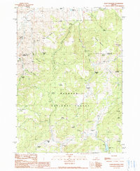
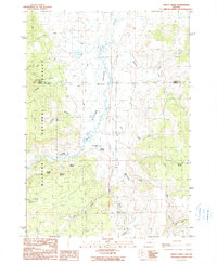
(149)- 1990 Map of Big Mowich Mountain
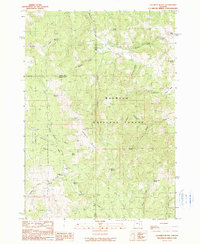
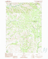
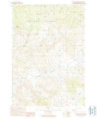
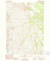
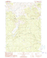 1990 Big Mowich Mountain1990 Print · USGSHarney and Grant counties meet in this 1990 survey of the high forest country before modern digital mapping changed the look of the landscape. Researchers can trace family-named sites like Harris Ranch or Allison Ranch and locate remote landmarks such as the Allison Guard Sta and Stinking Spring.
 - 1990 Map of Donaldson Creek
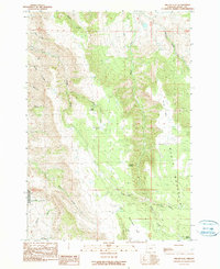
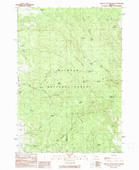
 1990 Donaldson Creek1990 Print · USGSThe high country of Grant County is captured here in the late 1980s, centered on the wooded slopes of the Malheur National Forest. Researchers can locate the Pismire Camp (Site) and trace water sources from Sagebrush Spring to the headwaters of Donaldson Creek.
 - 1990 Map of Logdell
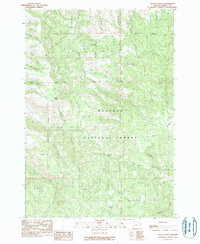
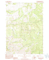
 1990 Logdell1990 Print · USGSGrant County's high forest country is captured here during the 1980s, centered on the ranching and forestry outposts of Bear Valley. Genealogists and historians can trace family-named landmarks like Sproul Ranch and isolated sites such as Logdell (Site).
 - 1990 Map of Monument
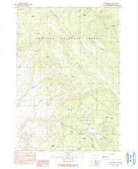
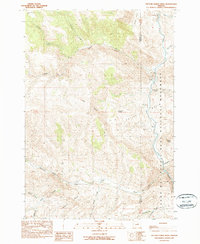
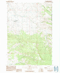
 1990 Monument1990 Print · USGSMonument and the surrounding high-desert river valleys are captured here as they appeared in the 1990s. Researchers can trace the rural infrastructure of the North Fork John Day River and find landmarks like Hell Fire Flat and the Lookout Tower.
 - 1990 Map of Calamity Butte
 1990 Calamity Butte1990 Print · USGSHarney County's high forest and ranching country is captured here in the late twentieth century. Genealogists and local historians can trace family-named sites and remote outposts such as Wade Ranch, Jackknife Flat, and Calamity Butte.
 - 1990 Map of Miller Flat
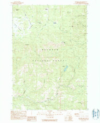
 1990 Miller Flat1990 Print · USGSHigh-country ranching and geologic history meet in this 1990s survey of the Grant County highlands. Researchers can trace remote campsites and water sources like Saddle Camp, Burnt Corral Springs, and the protected borders of the John Day Fossil Beds National Monument.
 - 1990 Map of Keeney Point
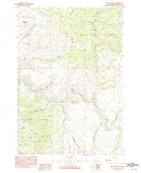
 1990 Keeney Point1990 Print · USGSGrant County, Oregon, in the late eighties and early nineties is captured here through its complex network of forest drainages and high ridges. Trace the routes between Keeney Camp Guard Station, Whisky Flat, and remote water sources like Federal Spring.
 - 1990 Map of Sharp Ridge
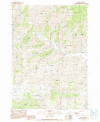
 1990 Sharp Ridge1990 Print · USGSGrant County high country at the close of the twentieth century is defined by its logging and mining history. Trace family-named locations such as Keeney Mine, Putney Mtn, and Reynolds Meadow across the national forest landscape.
 - 1990 Map of Alsup Mountain
 1990 Alsup Mountain1990 Print · USGSHarney and Grant counties meet in this high-altitude forest landscape during the late twentieth century. Researchers can locate numerous historical footprints including the Carey Ranch (Site), Buttes Ranch (Site), and the Bear Tree Guard Sta (Site).
 - 1990 Map of Silvies
 1990 Silvies1990 Print · USGSThe Grant County ranching country and the Silvies River valley are captured here just before the turn of the millennium. Researchers can trace local heritage and land use through landmarks like Ponderosa Ranch, Silvies Landing, and the Maitland Landing Strip.
 - 1990 Map of Magone Lake
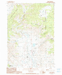
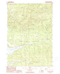
 1990 Magone Lake1990 Print · USGSHigh in the mountains of Grant County during the late twentieth century, this area shows a landscape defined by seasonal camps and forest management. Researchers can locate remote landmarks like Herburger Cabin, the waters of Magone Lake, and Telephone Spring.
 - 1990 Map of Steet Mtn.
 1990 Steet Mtn.1990 Print · USGSGrant County, Oregon, as it appeared in the early 1990s was a landscape defined by deep water-carved canyons and rugged ridge lines. Researchers can trace land-use patterns through local landmarks like Perry Wilson Canyon, Baldwin Gulch, and Gravel Pits.
 - 1990 Map of Meadow Brook Summit
 1990 Meadow Brook Summit1990 Print · USGSThe Grant County backcountry is captured here during the late 1980s as the Forest Service managed the timberlands of the Umatilla National Forest. Researchers can trace the network of unimproved roads and trails leading to Elk Grove, Meadow Brook Summit, and the remote Rush Pond.
 - 1990 Map of Big Canyon
 1990 Big Canyon1990 Print · USGSThe Strawberry Range and Aldrich Mountains meet in this high-country survey of the Malheur National Forest as it appeared in the late eighties. Trace remote wilderness landmarks like Table Mountain, Powell Meadow, and Steagall Spring.
 - 1990 Map of Sheep Ridge
 1990 Sheep Ridge1990 Print · USGSGrant County's high-country ranching and timber lands are captured here as they appeared in the late eighties. Researchers can trace the drainages of Scotty Creek and locate family landmarks like Rudio Meadows and Lost Boy Butte.
 - 1990 Map of Five Hundred Flat
 1990 Five Hundred Flat1990 Print · USGSGrant County’s high timber and grazing lands are captured during the 1990s as this provisional survey documents the remote camps and springs of the Malheur National Forest. Researchers can trace old stock sites like Elkhorn Cow Camp and landmarks such as The Potholes and Smoky Mtn.
 - 1990 Map of Trout Creek
 1990 Trout Creek1990 Print · USGSHarney and Grant Counties are captured here in the late twentieth century, showing the ranching heart of the high desert. Genealogists and researchers can trace local landholdings like Silvies Valley Ranch and Purdy Ranch or locate family-named landmarks like Maitland Spring.
 - 1990 Map of Jump-Off Joe Mountain
 1990 Jump-Off Joe Mountain1990 Print · USGSThe high backcountry of the Blue Mountains comes alive in this late twentieth-century survey of the Malheur National Forest boundary. Researchers can trace dozens of vital water sources and landmarks, including Jump-off Joe Mountain, Wolf Creek Meadow, and the family-named John S Spring.
 - 1990 Map of Graylock Butte
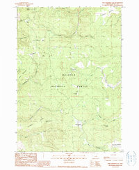
 1990 Graylock Butte1990 Print · USGSThe high country of Grant County is captured here in the 1990s, centered on the wooded slopes of the Malheur National Forest. Researchers can locate seasonal landmarks and water sources like Camp Faraway, McMullen Spring, and the Blue Ridge Trail.
 - 1990 Map of Picture Gorge West
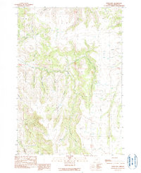
 1990 Picture Gorge West1990 Print · USGSWheeler and Grant counties come alive in the late twentieth century as the John Day River winds through ancient geological formations. Researchers can locate established homesteads like the Cant Ranch and iconic landmarks including Sheep Rock and Picture Gorge.
 - 1990 Map of Bologna Basin
 1990 Bologna Basin1990 Print · USGSGrant County is captured in the late twentieth century as the North Fork John Day River winds through the canyons of the Umatilla National Forest. Researchers can trace old routes like Wagon Road Gulch and locate family-named landmarks like Thorn Spring Butte.
 - 1990 Map of Long Creek
 1990 Long Creek1990 Print · USGSLong Creek sits at the gateway to the high plateau during the late twentieth century, showing the town's footprint alongside the high peaks of the Blue Mountains. Genealogists and hikers can trace the Cem, the route of Highway 395, and the timbered slopes of Long Creek Mountain.
 - 1990 Map of Wildcat Point
 1990 Wildcat Point1990 Print · USGSThe high forest country of Grant County is captured here as it appeared in the 1980s and early 90s, where the national forests meet. Researchers can trace the winding Middle Fork John Day River and locate remote sites like Willow Creek Cemetery and Patterson Basin.
 - 1990 Map of Izee
 1990 Izee1990 Print · USGSGrant County ranching and timber lands are captured here in the late twentieth century, centered on the South Fork John Day River. Researchers can trace old family holdings like Kerrins Ranch and identify historical industrial locations such as the Bush Mill (Site).
 - 1990 Map of Picture Gorge East
 1990 Picture Gorge East1990 Print · USGSGrant County ranchlands and paleontological sites meet along the John Day River in the early nineties. Researchers can trace land use through the Mascall Ranch, locate the Erickson Mill, and explore the borders of the John Day Fossil Beds National Monument.
Showing maps 1-25 of 149
Top cities of Grant County
- John Day historical maps
- Prairie City historical maps
- Canyon City historical maps
- Mount Vernon historical maps
- Long Creek historical maps
- Seneca historical maps
See more
Frequently asked questions
- What are the different types of historical maps available for Grant County?
- What is the oldest map of Grant County?
- Where can I purchase historical maps of Grant County for my home or office?
- Where can I download high-res historical maps of Grant County?
- Are there historical topographic maps available for Grant County?
- Is there historical aerial imagery available for Grant County?
- Where are historical maps of Grant County sourced from?