2020s Maps of Grant County, Oregon
Explore 219 historic maps of Grant County from the 2020s. These maps offer a rare glimpse into what life looked like during the 2020s — showing old roads, neighborhoods, homes, and landmarks that have changed or disappeared over time.
Whether you're researching your family's past, planning a metal detecting trip, or studying how Grant County's landscape evolved across the 2020s, these high-resolution maps are a powerful tool for exploring the history of this region.
- Focus on a specific era: All maps on this page are from the 2020s, giving you a focused view of this time period.
- See what’s changed: Compare century-old streets, trails, and buildings to today's modern landscape using overlays and satellite layers.
- Research with precision: Use these maps for genealogy, historical research, land use analysis, or educational projects.
- View, download, or print: Maps are fully viewable online in high resolution, and can be downloaded or printed for your own records.
Start exploring Grant County's history through authentic maps from the 2020s. This is your window into the past.
Grant County, OR maps
(219)- 2020 Map of Calamity Butte, 2020 Print
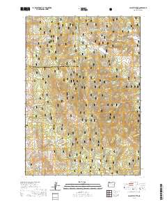 2020 Calamity Butte2020 Print · USGSThe high forest lands of Harney and Grant counties are captured here in the modern era, centered on the heights of Calamity Butte. Researchers can locate high-country landmarks and remote water sources like Potts Field, Jackknife Flat, and One Pine Road.
 - 2020 Map of Myrtle Park Meadows, 2020 Print
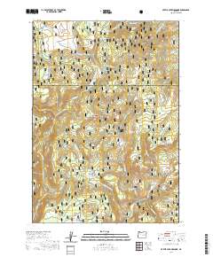 2020 Myrtle Park Meadows2020 Print · USGSHigh in the Malheur National Forest during the late twenty-teens, this area centers on the alpine openings of Myrtle Park Meadows. Trace forest landmarks and vital water sources like Old Road Camp Spring and Silvies River.
 - 2020 Map of West Myrtle Butte, 2020 Print
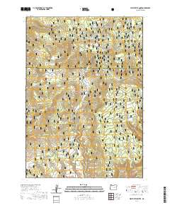 2020 West Myrtle Butte2020 Print · USGSThe high forest country of the Blue Mountains comes alive in this contemporary survey of the Grant and Harney county line. You can trace dozens of mountain water sources from Robinson Spring to Izee Spring, or locate landmarks like Sugarloaf Mtn.
 - 2020 Map of Little Baldy Mountain, 2020 Print
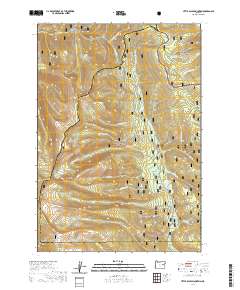 2020 Little Baldy Mountain2020 Print · USGSThe high divide between Baker and Grant counties is captured here in the early twenty-first century. Researchers can trace the rugged drainage systems of the North Fork Malheur Wild and Scenic River and locate remote peaks like Glacier Mtn and Little Baldy Mtn.
 - 2020 Map of Susanville, 2020 Print
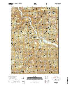 2020 Susanville2020 Print · USGSThe Middle Fork John Day River corridor and the Malheur National Forest are captured here in 2020. Researchers can trace the layout of Galena and Susanville, locate the Galena Cem, and identify landmarks like Chattanooga Mtn and Arch Rock.
 - 2020 Map of Granite, 2020 Print
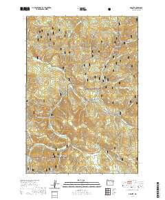 2020 Granite2020 Print · USGSThe settlement of Granite serves as the anchor for this 2020 map of the high Blue Mountains at the junction of two National Forests. Local historians can trace seasonal travel routes and named gulches like Alamo Gulch, China Gulch, and the meadows at Beaver Meadows.
 - 2020 Map of Castle Rock, 2020 Print
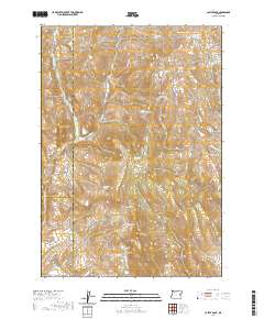 2020 Castle Rock2020 Print · USGSThe high range country where Malheur, Grant, and Harney Counties converge is captured here in the contemporary era. Researchers can trace remote water sources and land use through landmarks like Castle Rock, Horse Flat Reservoir, and Whisky Gulch Springs.
 - 2020 Map of Rail Gulch, 2020 Print
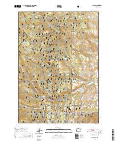 2020 Rail Gulch2020 Print · USGSThe Baker and Grant county borderlands in the 2020s remain a landscape of forest preserves and seasonal backcountry routes. Genealogists and historians can trace the geography of early ranching and mining through features like Payton Gulch, Mine Ridge, and the Cavin Ditch.
 - 2020 Map of Knox Mountain, 2020 Print
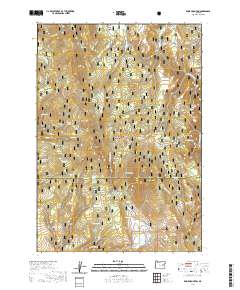 2020 Knox Mountain2020 Print · USGSHarney and Grant counties meet at this forested high-country summit in the twenty-first century. Researchers can locate family-named landmarks like Miller and Jackson Spring and Anderson Spring or trace the geography of Knox Mtn and Skookum Canyon.
 - 2020 Map of John Day, 2020 Print
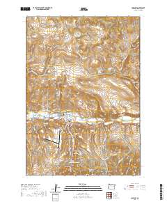 2020 John Day2020 Print · USGSThe mountain corridor of Grant County comes into focus here, showing the adjacent towns of John Day and Canyon City. Researchers can trace old family burial sites at Boot Hill Cem or locate the Grant County Courthouse along the river valley.
 - 2020 Map of Mount Ireland, 2020 Print
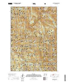 2020 Mount Ireland2020 Print · USGSThe high peaks of the Elkhorn Mountains in the Whitman National Forest are captured here during the modern era. Researchers can trace remote high-country landmarks including the Mt Ireland Lookout, Gold Center Meadow, and the Elkhorn Drive Snowmobile route.
 - 2020 Map of Flag Prairie, 2020 Print
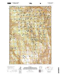 2020 Flag Prairie2020 Print · USGSGrant County’s high-desert wilderness is documented here in the early twenty-first century, showing the protected reaches of the Malheur National Forest. Geologists and outdoorsmen can trace numerous named water sources like Seven D Bar Spring and Lava Spring across landmarks such as Rattlesnake Ridge.
 - 2020 Map of Prairie City, 2020 Print
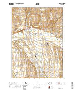 2020 Prairie City2020 Print · USGSPrairie City and the upper John Day River valley are documented here in the early twenty-first century. Researchers can trace local burial sites at McHaley Cem, follow the historic route of The Mill Ditch, or locate the Oxbow Ranch Airport.
 - 2020 Map of Mount Misery, 2020 Print
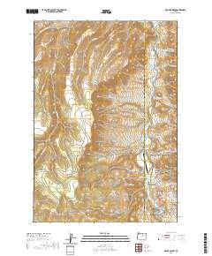 2020 Mount Misery2020 Print · USGSWheeler County's high desert is captured here in the modern era, dominated by the winding John Day River and protected lands. Researchers can locate remote infrastructure like the Longview Ranch Airport and distinct landmarks such as Cathedral Rock and Mt Misery.
 - 2020 Map of Sharp Ridge, 2020 Print
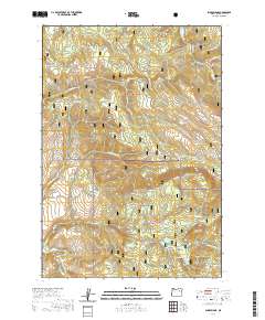 2020 Sharp Ridge2020 Print · USGSGrant County’s high timberlands are documented here in the early twenty-first century, showing the intersection of two national forests. Genealogists and outdoorsmen can trace the geography of family-named landmarks like Putney Mtn, Pizer Meadow, and Macy Meadow.
 - 2020 Map of Kelsay Butte, 2020 Print
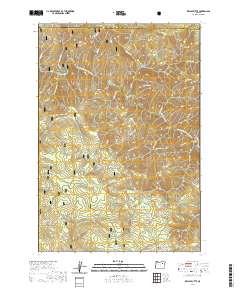 2020 Kelsay Butte2020 Print · USGSUmatilla National Forest is captured here in the late twenty-teens, showing the protected canyons of the North Fork John Day Wild and Scenic River. Researchers can map the intersections of the North Fork John Day Trail with landmarks like Kelsay Butte and Bull Prairie.
 - 2020 Map of Bourne, 2020 Print
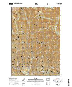 2020 Bourne2020 Print · USGSThe high Elkhorn Mountains of Baker County come into focus in 2020, showing a landscape defined by winter recreation and historic mining drainages. Genealogists and researchers can trace the roads through Bourne and Sumpter or locate family-named features like Bear Canyon and Corey Gulch.
 - 2020 Map of Isham Creek, 2020 Print
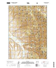 2020 Isham Creek2020 Print · USGSGrant County is captured in recent years as its mountain drainages and forest roads converge on the John Day River. Researchers can trace old timber and ranching routes like Barrel Rd and locate secluded water sources such as Bumblebee Spring and Eureka Spring.
 - 2020 Map of Logan Valley East, 2020 Print
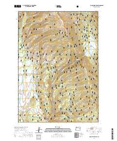 2020 Logan Valley East2020 Print · USGSGrant County’s high country is documented in detail during the early twenty-first century, showing the remote drainage systems of the southern Blue Mountains. Researchers can locate specific water sources like Wickiuip Spring and trace the course of the Malheur Wild and Scenic River near Logan Valley.
 - 2020 Map of Magpie Table, 2020 Print
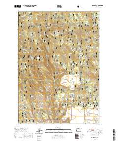 2020 Magpie Table2020 Print · USGSHarney and Grant counties meet in this 2020 map of the high desert backcountry, showing a landscape defined by timber and water. Researchers can locate remote landmarks such as Frost Mill, Magpie Table, and the volcanic terrain of Glass Mtn.
 - 2020 Map of Pogue Point, 2020 Print
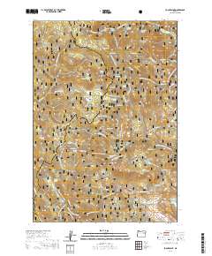 2020 Pogue Point2020 Print · USGSThe high ridges of the Blue Mountains are captured here in the 2020s, showing the intersection of two national forests along the Baker and Grant county line. Researchers can trace the drainage of the N Fork Burnt River and find named landmarks like Blue Mountain Summit and Pogue Point.
 - 2020 Map of Desolation Butte, 2020 Print
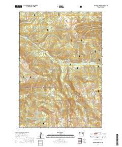 2020 Desolation Butte2020 Print · USGSThe high ridges of the Blue Mountains are documented here in the early twenty-first century, showing the intersection of two national forests. Researchers can trace historical mining activity at Skinner Diggins or locate remote landmarks like Jumpoff Joe Lake and Desolation Butte.
 - 2020 Map of Olive Lake, 2020 Print
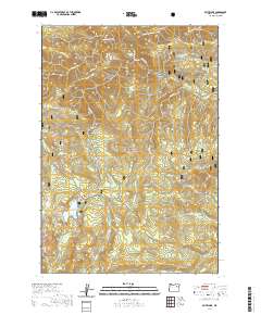 2020 Olive Lake2020 Print · USGSThe high backcountry of the Blue Mountains is detailed in this 2020 survey of the Umatilla National Forest. Researchers can trace remote sites like Saddle Camp and Ben Harrison alongside the waters of Olive Lake and Granite Creek.
 - 2020 Map of Wolf Mountain, 2020 Print
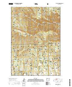 2020 Wolf Mountain2020 Print · USGSCentral Oregon high country and forest lands are detailed here at the turn of the decade. Researchers can trace the water and grazing features of the Ochoco National Forest, including Kelsey Reservoir, Three Forks, and Battle Ridge.
 - 2020 Map of Crawfish Lake, 2020 Print
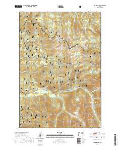 2020 Crawfish Lake2020 Print · USGSHigh in the Elkhorn Mountains of northeastern Oregon, this modern survey details the rugged alpine landscape where Union and Grant counties meet. Local history enthusiasts can locate Cabell City and trace specialized trails like the Chicken Hill Snowmobile route.
Showing maps 1-25 of 219
Top cities of Grant County
- John Day historical maps
- Prairie City historical maps
- Canyon City historical maps
- Mount Vernon historical maps
- Long Creek historical maps
- Seneca historical maps
See more
Frequently asked questions
- What are the different types of historical maps available for Grant County?
- What is the oldest map of Grant County?
- Where can I purchase historical maps of Grant County for my home or office?
- Where can I download high-res historical maps of Grant County?
- Are there historical topographic maps available for Grant County?
- Is there historical aerial imagery available for Grant County?
- Where are historical maps of Grant County sourced from?