2000s (21st Century) Maps of Grant County, Oregon
Explore 546 historic maps of Grant County from the 2000s (21st Century). These maps offer a rare glimpse into what life looked like during the 2000s — showing old roads, neighborhoods, homes, and landmarks that have changed or disappeared over time.
Whether you're researching your family's past, planning a metal detecting trip, or studying how Grant County's landscape evolved across the 2000s, these high-resolution maps are a powerful tool for exploring the history of this region.
- Focus on a specific era: All maps on this page are from the 2000s, giving you a focused view of this time period.
- See what’s changed: Compare century-old streets, trails, and buildings to today's modern landscape using overlays and satellite layers.
- Research with precision: Use these maps for genealogy, historical research, land use analysis, or educational projects.
- View, download, or print: Maps are fully viewable online in high resolution, and can be downloaded or printed for your own records.
Start exploring Grant County's history through authentic maps from the 2000s. This is your window into the past.
Grant County, OR maps
(546)- 2011 Map of Calamity Butte, 2011 Print
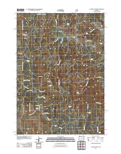 2011 Calamity Butte2011 Print · USGSHigh-desert ranching and forestry define this Oregon landscape as it appeared in the early 21st century. Researchers can locate remote outposts like Wade Ranch and H and Y Cabin or trace the many water sources such as Ithema Spring and Jackknife Spring.
 - 2011 Map of Trout Creek, 2011 Print
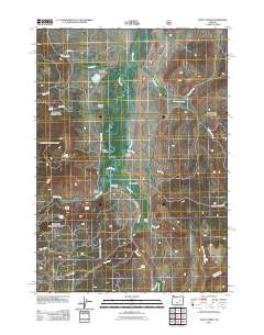 2011 Trout Creek2011 Print · USGSHarney County's high-desert ranching country is mapped here in the early twenty-first century, showing the enduring importance of the Silvies River. Genealogists and local historians can locate long-standing family operations like Craddock Ranch and trace water rights along the West Side Ditch and Silvies River.
 - 2011 Map of Jump-off Joe Mountain, 2011 Print
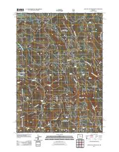 2011 Jump-off Joe Mountain2011 Print · USGSHarney County's high country is captured here in the early 2000s, showing a landscape defined by isolated springs and forestry tracks. Researchers can locate remote outposts like Hopper Ranch and family-named water sources such as John S Spring and Davidson Spring.
 - 2011 Map of Granite, 2011 Print
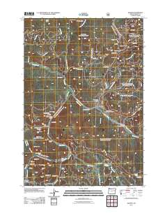 2011 Granite2011 Print · USGSThe mining heart of Grant County is preserved here in the early twenty-first century, showing a landscape carved by over a century of extraction. Researchers can locate hundreds of claims and tunnels, from the Buffalo Mine and Red Boy Mine to the historic Lon Krise Cabin.
 - 2011 Map of Pine Creek Mountain, 2011 Print
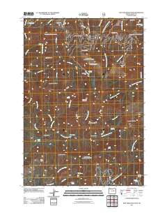 2011 Pine Creek Mountain2011 Print · USGSGrant County is shown during a period of transition in the early twenty-first century, balancing its ranching roots with a legacy of mountain mining. Researchers can locate remote sites like Hotel de Bum Camp, the Chambers Mine, and Yokum Corrals Camp.
 - 2011 Map of Big Canyon, 2011 Print
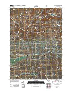 2011 Big Canyon2011 Print · USGSGrant County’s high-country meadows and deep drainages are documented here during the early twenty-first century. Researchers can trace the water systems of Middle Fork Canyon Creek and find named clearings like Powell Meadow and Wendling Glade.
 - 2011 Map of Bourne, 2011 Print
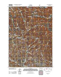 2011 Bourne2011 Print · USGSThe high Elkhorn Mountains of Baker County come into focus in the early 21st century, revealing a landscape shaped by mining. Researchers can trace historic claims and seasonal outposts like the North Pole Mine, Cracker Camp, and the settlement of Bourne.
 - 2011 Map of Logan Valley West, 2011 Print
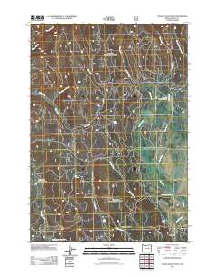 2011 Logan Valley West2011 Print · USGSGrant County in the early twenty-first century remains a landscape of high-country meadows and quiet creek systems. Researchers can trace the drainage of Crooked Creek through Merit Meadows or locate the seasonal Lake Creek Organization Camp and Star Glade.
 - 2011 Map of Silvies, 2011 Print
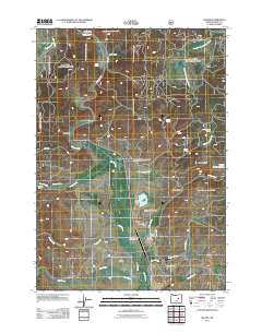 2011 Silvies2011 Print · USGSHigh-altitude ranching and river management define the Silvies Valley during the early 2000s. Researchers can trace family history through Silvies Cemetery, locate the old Maitland Landing Strip, and see the extent of Hankins Ranch.
 - 2011 Map of Whitney, 2011 Print
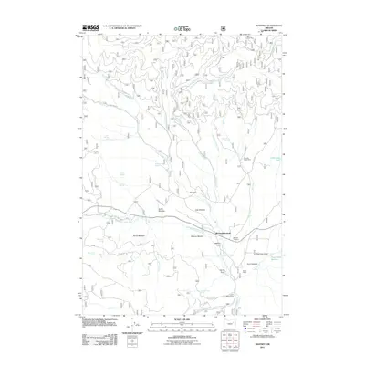 2011 Whitney2011 Print · USGSBaker County's high country is preserved here in the early 2000s, centered on the legacy of a former timber town. Genealogists and researchers can trace family landmarks at Whitney Cemetery, Clifford, and the Whitney(historical) townsite.
 - 2011 Map of Cougar Rock, 2011 Print
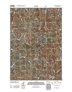 2011 Cougar Rock2011 Print · USGSGrant County is shown in detail during the early twenty-first century, featuring a landscape shaped by high-elevation landmarks and timber roads. Researchers can trace forest access routes through Four Corners or locate specific natural features like Eagle Rock and Voight Spring.
 - 2011 Map of Trout Meadows, 2011 Print
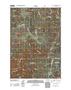 2011 Trout Meadows2011 Print · USGSUnion County's high country is captured here during the early twenty-first century, showing a landscape shaped by hydrology and historic mining. Genealogists and historians can locate remote landmarks like the Thornburg Placer Mine, China Meadow, and Crane Flats.
 - 2011 Map of Roberts Creek, 2011 Print
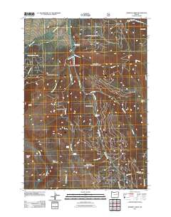 2011 Roberts Creek2011 Print · USGSThe Strawberry Range and the upper John Day River are captured in this recent survey of eastern Oregon's high country. Trace the names given by early settlers and ranchers to the landscape, from Blue Mountain Hot Springs and Little Meadows to the oddly named Starvation Rock.
 - 2011 Map of Knox Mountain, 2011 Print
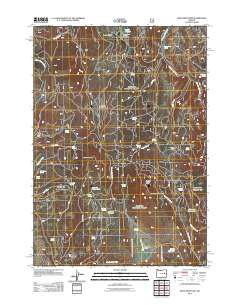 2011 Knox Mountain2011 Print · USGSHarney County's ranching country remains a landscape of seasonal camps and vital water sources in the early twenty-first century. Researchers can trace the legacy of cattle operations at Ott Cow Camp and locate remote landmarks like the Antelope Lookout Tower or Westfall Spring.
 - 2011 Map of Castle Creek, 2011 Print
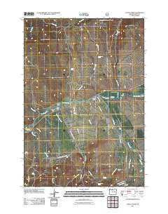 2011 Castle Creek2011 Print · USGSGrant County ranchlands and river valleys are captured here in the early 21st century. Genealogists and local historians can trace legacy properties like Oliver Ranch and Clark Ranch or locate the site of the Prairie Diggings.
 - 2011 Map of Rastus Mountain, 2011 Print
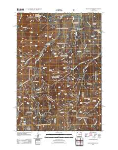 2011 Rastus Mountain2011 Print · USGSHigh desert terrain in Malheur County is captured here in the early twenty-first century, showing a landscape shaped by mining and water management. Genealogists and researchers can locate family-named sites and industrial markers like Thomason Mine, Long Creek Dam, and Koski Basin.
 - 2011 Map of Austin, 2011 Print
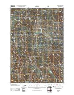 2011 Austin2011 Print · USGSIn the high country of Grant County during the early 21st century, the headwaters of the Middle Fork John Day River define a landscape of remote timber and seasonal camps. Researchers can trace land-use patterns through sites like Austin, Sullens Cow Camp, and the open reaches of Phipps Meadow.
 - 2011 Map of Dale, 2011 Print
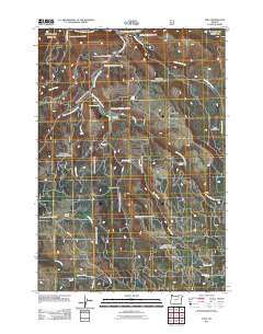 2011 Dale2011 Print · USGSThe North Fork John Day River corridor and the small community of Dale are captured here as they appeared in the early twenty-first century. Genealogists and researchers can locate family-named landmarks like the George Hinton Ranch and the Dale Post Office.
 - 2011 Map of Dollar Basin, 2011 Print
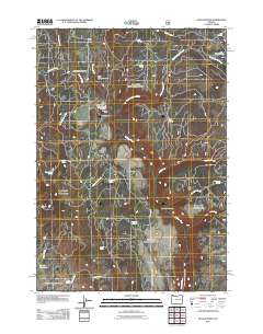 2011 Dollar Basin2011 Print · USGSHarney County in the early twenty-first century remains a landscape of isolated springs and high-desert flats. Researchers can trace historic river crossings at Malheur Ford and locate remote landmarks like Lucky Reservoir and Diamond Dot Gulch.
 - 2011 Map of Flag Prairie, 2011 Print
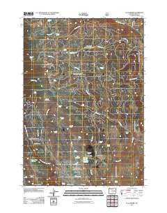 2011 Flag Prairie2011 Print · USGSGrant County, Oregon, is surveyed here in the early twenty-first century, showcasing a landscape of high meadows, springs, and vital water management. Researchers can trace the legacy of grazing and land use through landmarks like the Flag Prairie Cow Camp, the WPA Reservoir, and Crane Creek Campground.
 - 2011 Map of Wildcat Point, 2011 Print
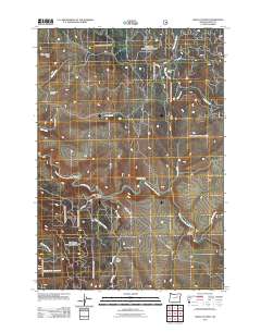 2011 Wildcat Point2011 Print · USGSGrant County in the early twenty-first century is captured here as a landscape of remote drainages and high ridges along the Middle Fork John Day River. Researchers can locate the Willow Creek Cemetery and trace rugged local routes like Co Road 35 and the Long Creek-Pass Creek Rd.
 - 2011 Map of Crawfish Lake, 2011 Print
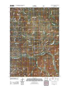 2011 Crawfish Lake2011 Print · USGSUnion County's high mining country is documented here in the early twenty-first century, showing the enduring marks of the region's mineral history. Researchers can trace the locations of historic operations like the Standard Mine and Cabell City or explore the alpine drainages of the Grande Ronde River.
 - 2011 Map of Susanville, 2011 Print
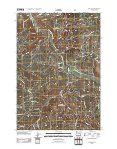 2011 Susanville2011 Print · USGSGrant County’s mining and ranching heritage is centered here along the Middle Fork John Day River in the early 2000s. Genealogists and local historians can trace legacy sites like Galena Cemetery, the old Gem Mine, and the O'Rorke Ranch.
 - 2011 Map of Desolation Butte, 2011 Print
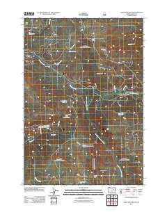 2011 Desolation Butte2011 Print · USGSGrant County’s high timber and mining lands are captured here in the early twenty-first century, showing a landscape defined by fire lookouts and seasonal camps. Researchers can locate remote sites like the Skinner Mine, Desolation Butte Lookout, and Jumpoff Joe Lake.
 - 2011 Map of Deardorff Mountain, 2011 Print
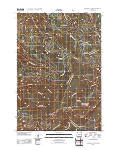 2011 Deardorff Mountain2011 Print · USGSThe high ridges of Baker County are captured here in the early twenty-first century, showing a landscape defined by timber access and alpine meadows. You can trace the network of forest roads leading to Looney Spring Campground, Deadman Gulch, and the peaks of Baldy Mountain.
Showing maps 1-25 of 546
Top cities of Grant County
- John Day historical maps
- Prairie City historical maps
- Canyon City historical maps
- Mount Vernon historical maps
- Long Creek historical maps
- Seneca historical maps
See more
Frequently asked questions
- What are the different types of historical maps available for Grant County?
- What is the oldest map of Grant County?
- Where can I purchase historical maps of Grant County for my home or office?
- Where can I download high-res historical maps of Grant County?
- Are there historical topographic maps available for Grant County?
- Is there historical aerial imagery available for Grant County?
- Where are historical maps of Grant County sourced from?